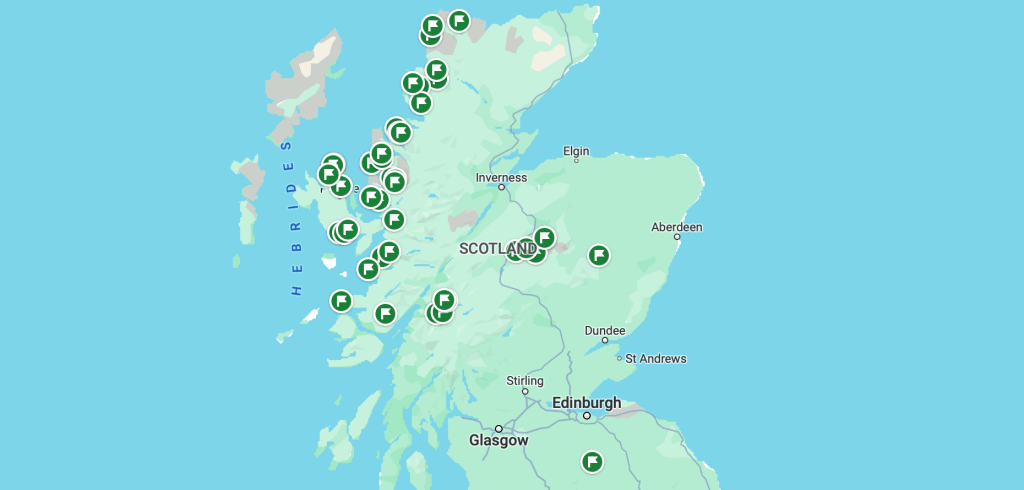
Come along with me on a recent adventure through the land of lore and fable — the Scottish Highlands is a pretty remote place in the North of Scotland. If geography isn’t your strong suit, here’s roughly where I went:
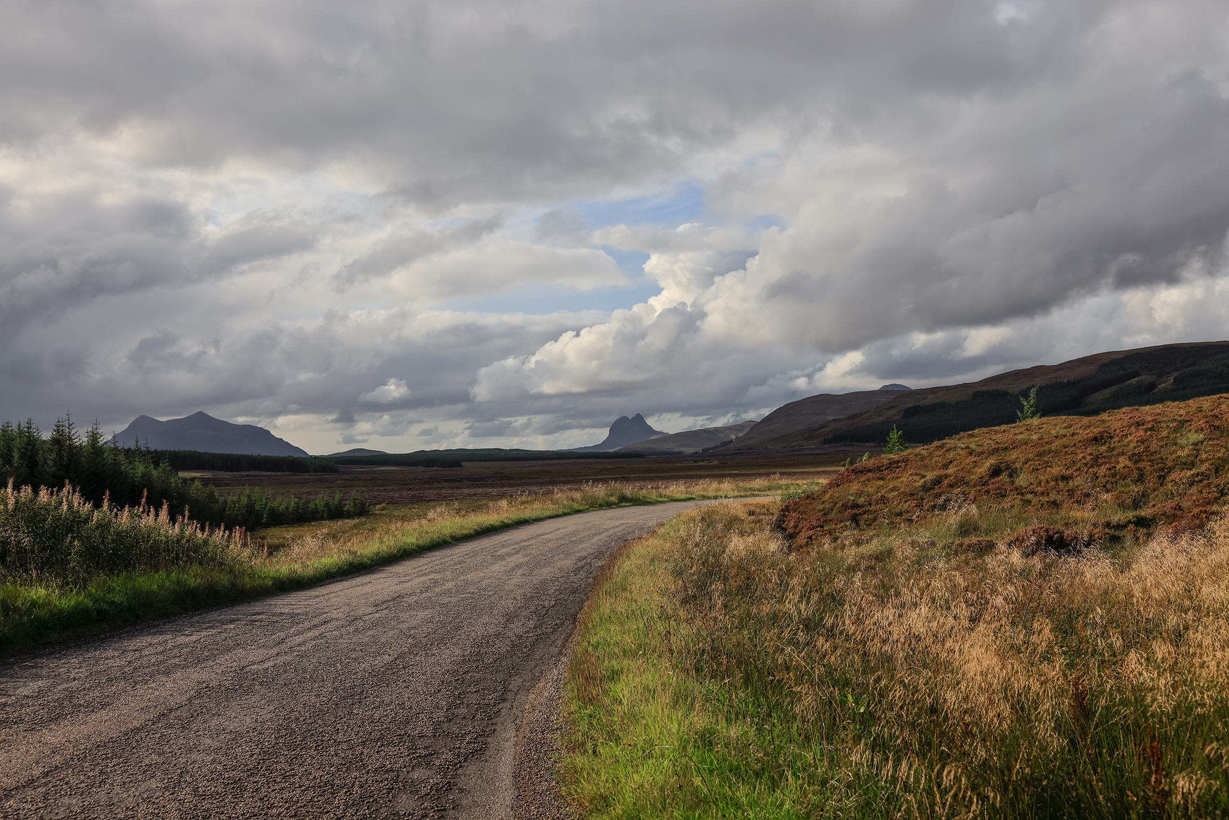
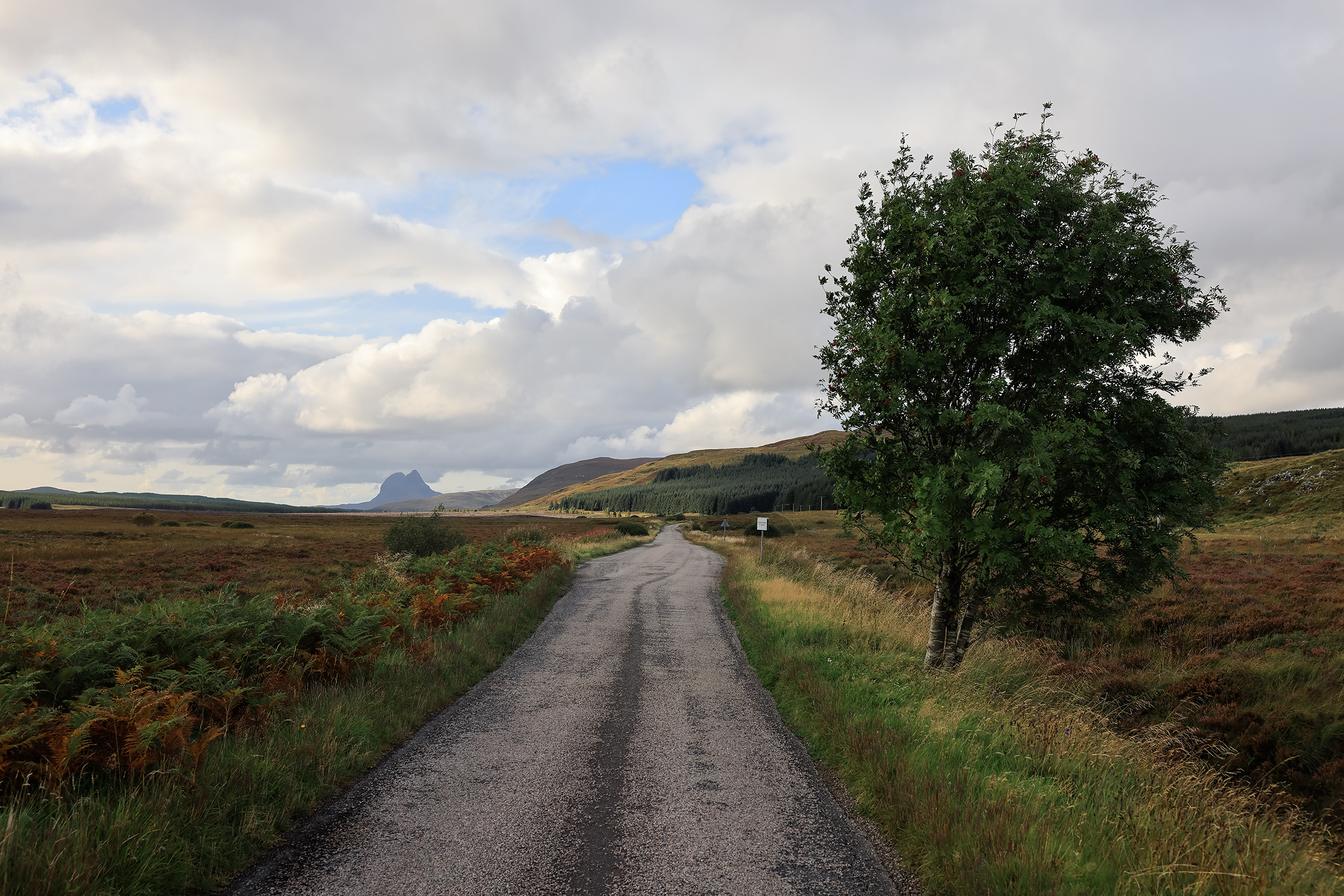
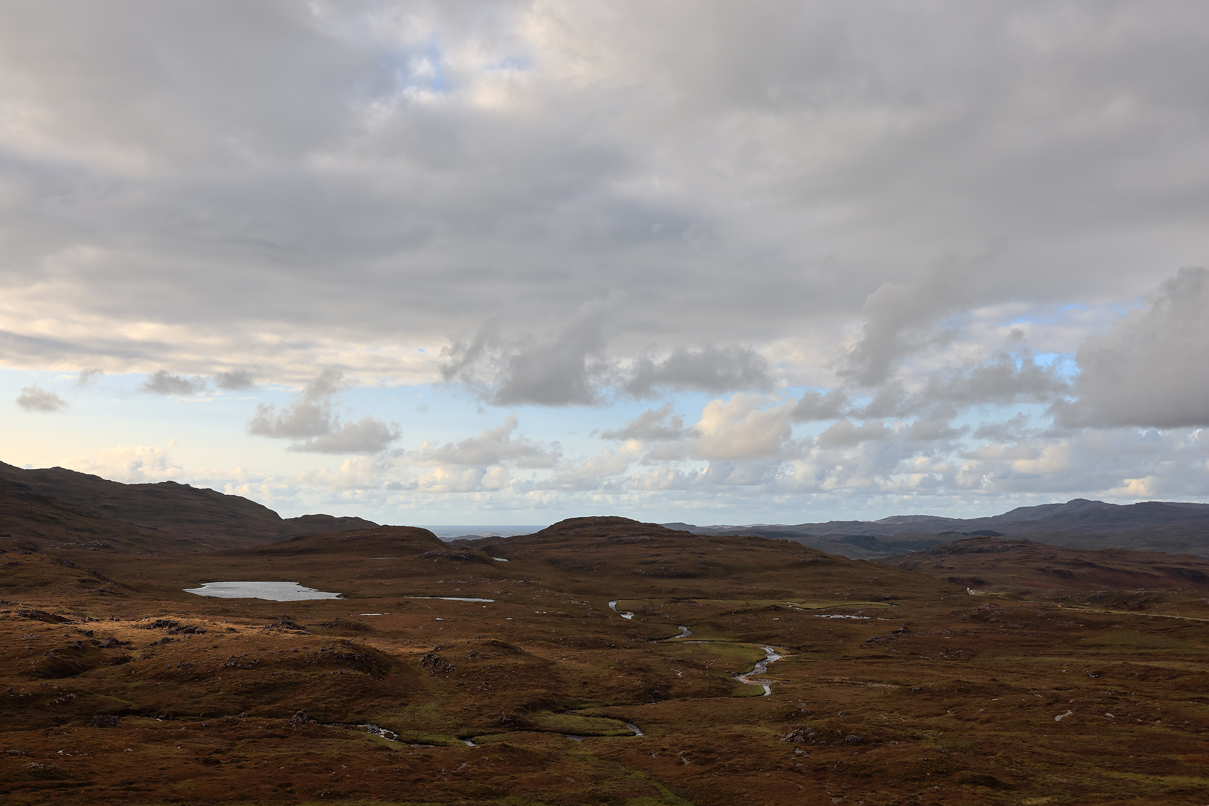
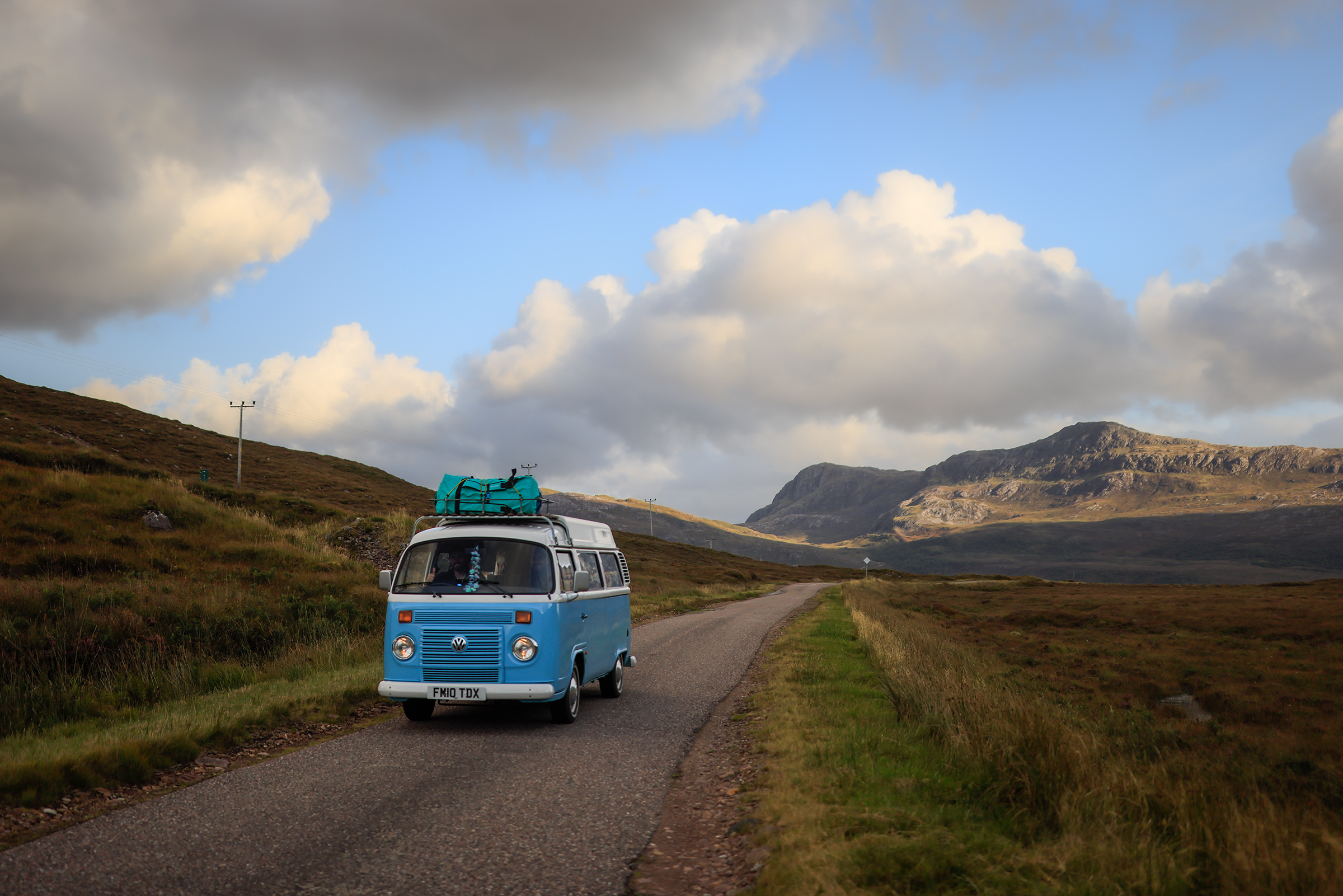
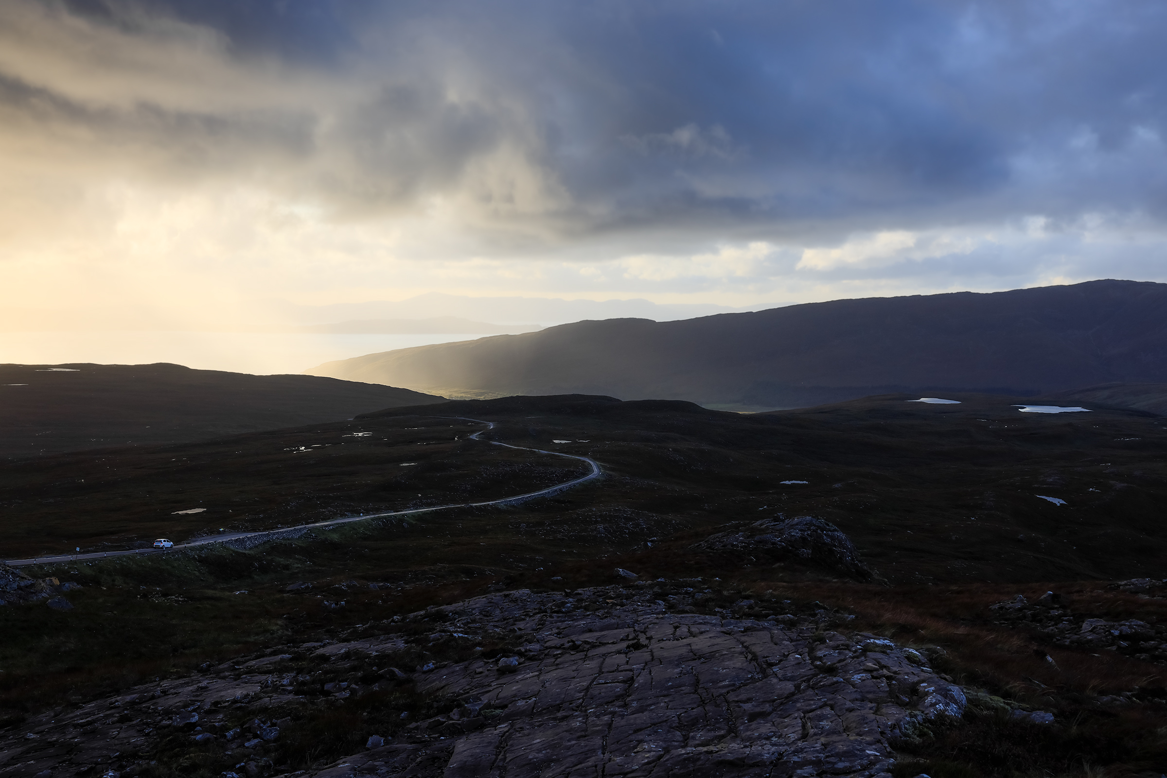
The most common access point for the Highlands is Inverness, a city located 8 hours away from London by train. Straight out of the station, our adventure started with “lochs” (“lake” in Scottish), “glens” (“valley”) and low-altitude mountains making an appearance in the landscape, on the roads between Inverness and the Quinag mountain.
You’ll notice that we stuck to the West coast of the Highlands — as a card-holding member of the non-alcoholic club, the whisky distilleries of the East coast weren’t of much interest.
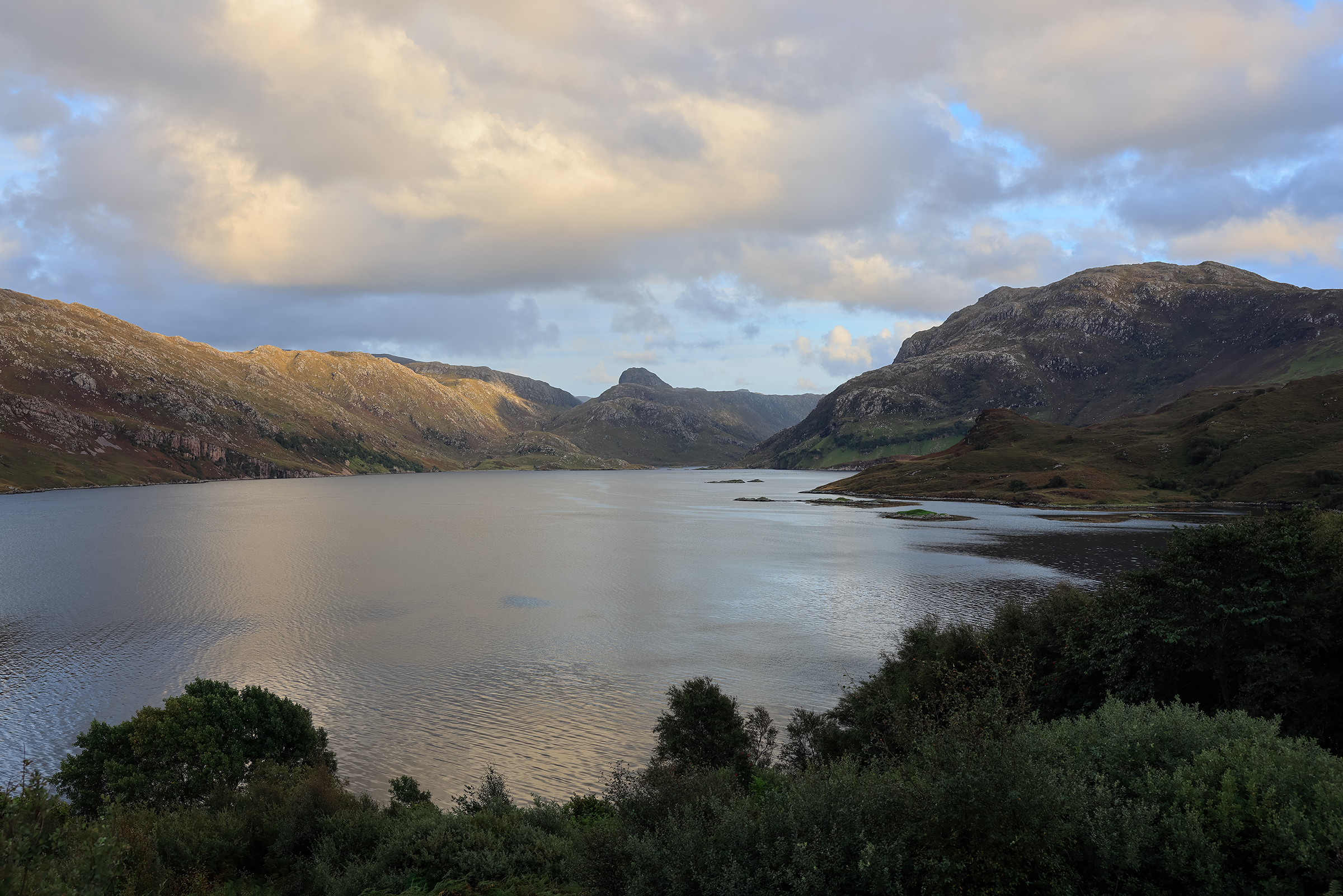


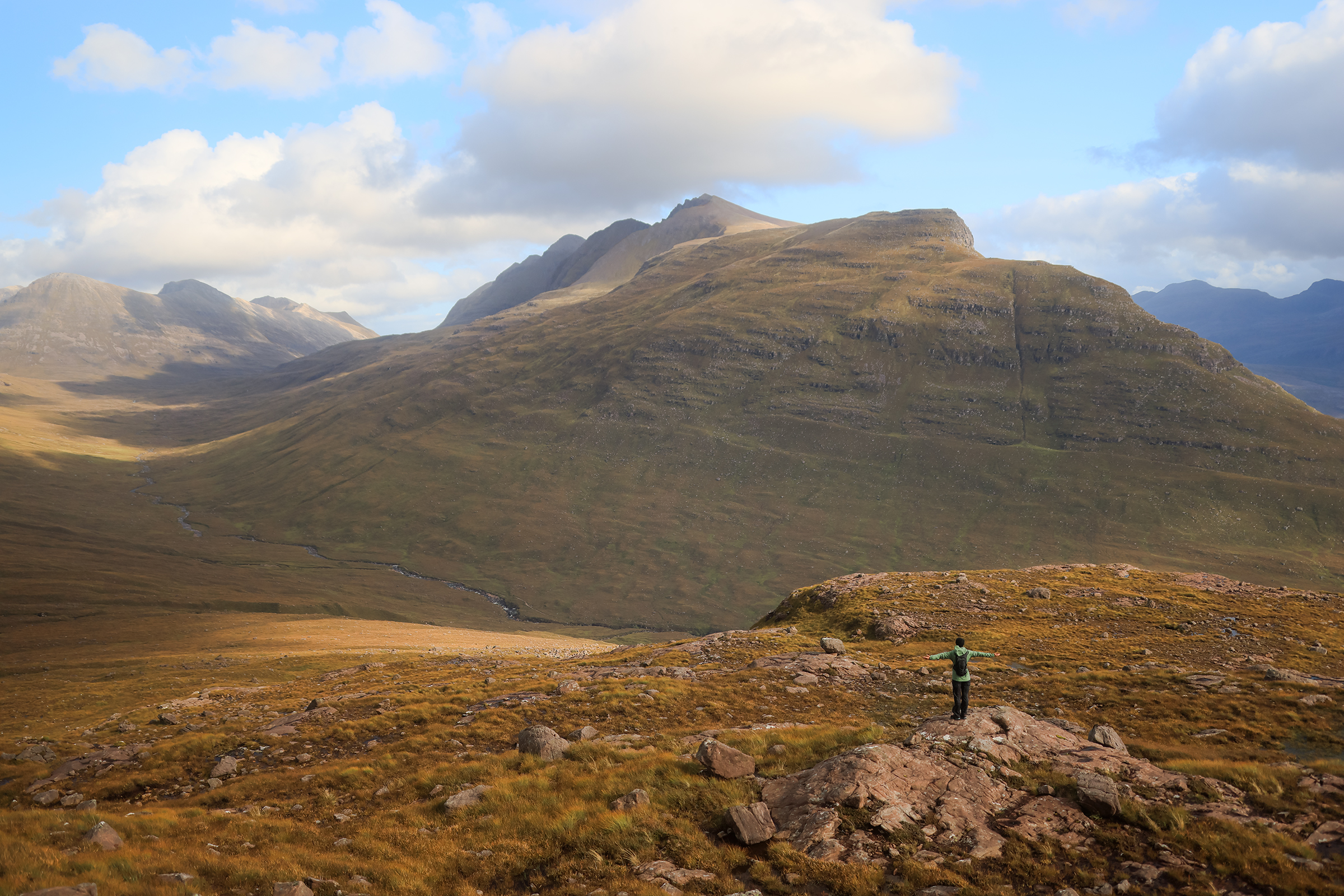
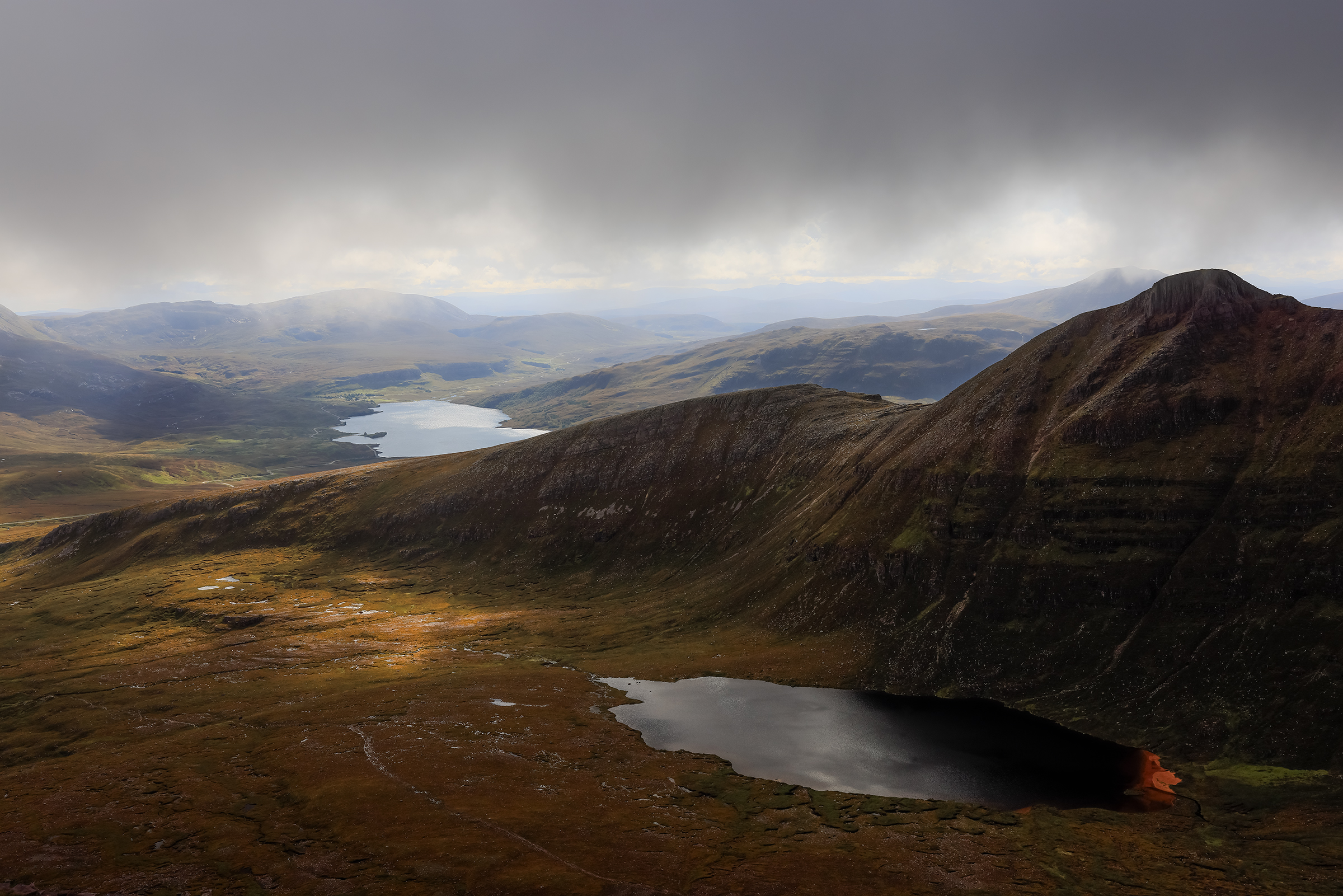
Quinag & Sail Gharbh
My first hike in Scotland! I missed a few turns, got a mix of clear weather, wind and rain.
Quinag (Scottish Gaelic: A’ Chuineag) is an 808 m high mountain range in Sutherland in the Scottish Highlands, with an undulating series of peaks along its Y-shaped crest. The name Quinag is an anglicisation of the Gaelic name Cuinneag, a milk pail, reflecting its distinctive shape.
Geologically, Quinag is made of Torridonian sandstone, resting on a substrate of Lewisian gneiss. The highest peaks are capped by a thin skin of Cambrian quartzites with the gentle eastern slope of Spidean Coinich being a dip slope formed along the quartzite beds. The massif is an excellent place to appreciate the relationship between these three major rock units of the NW Highland.
Wikipedia

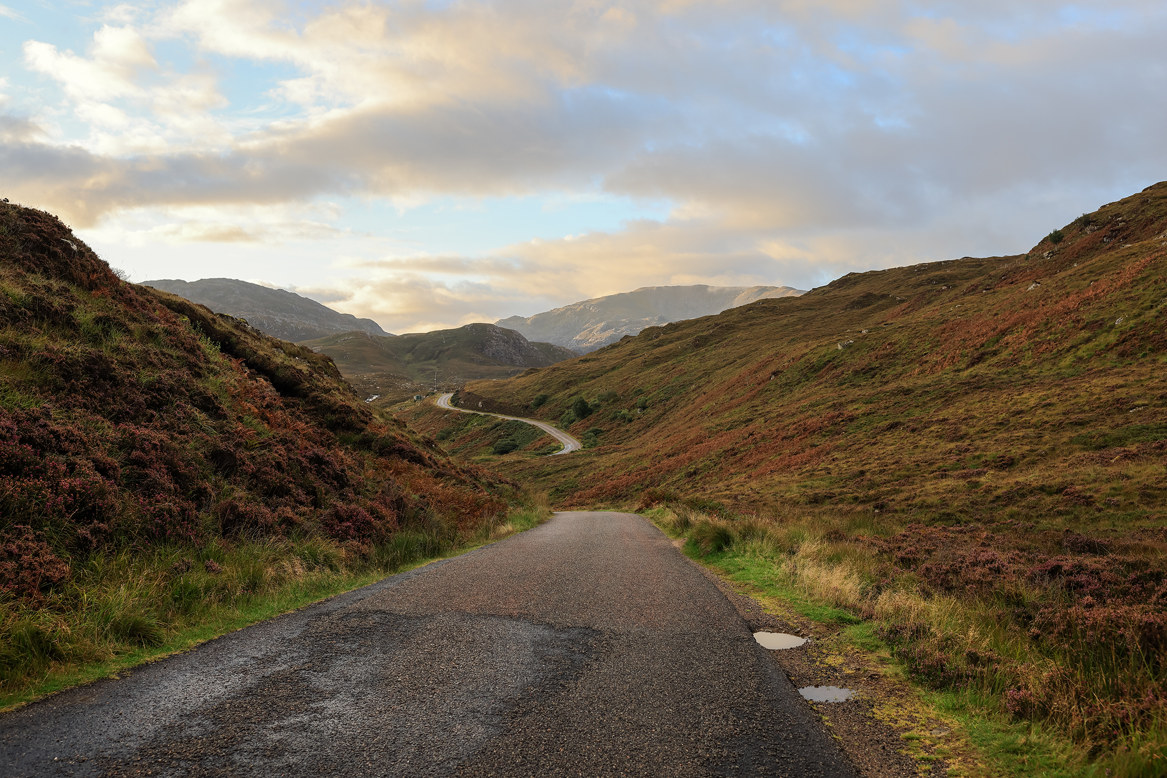
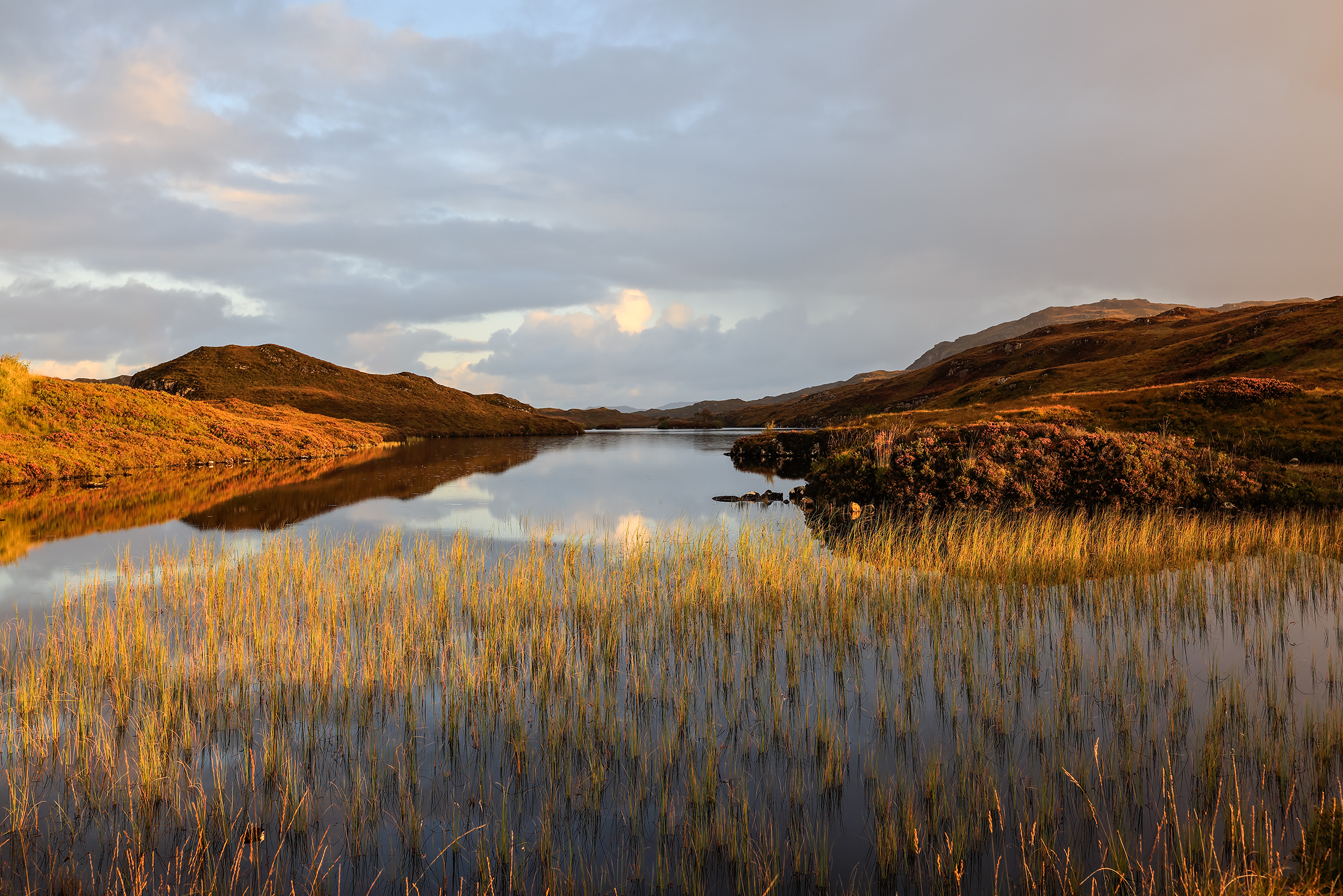
A stop at the hotel to warm up before heading to Achmelvich Beach for sunset.

Stac Pollaidh
A walk in the park! Good to stretch the legs before a bigger adventure.

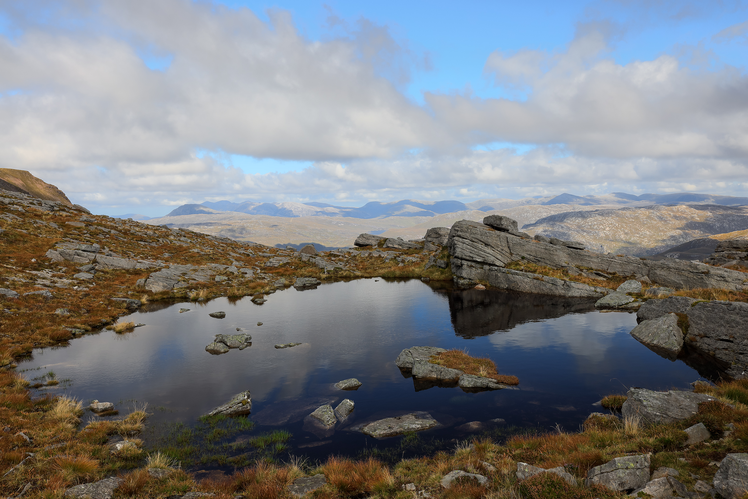
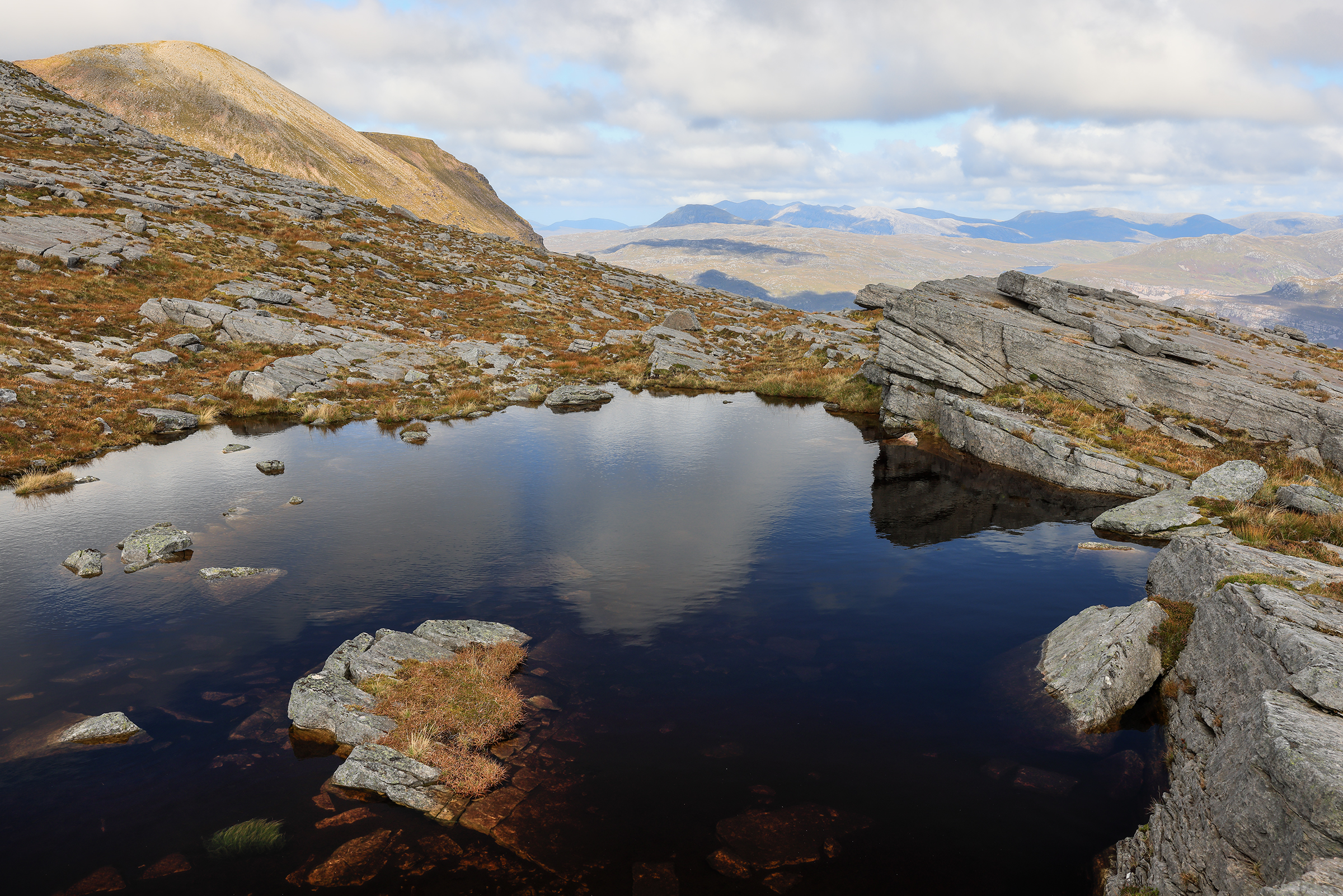
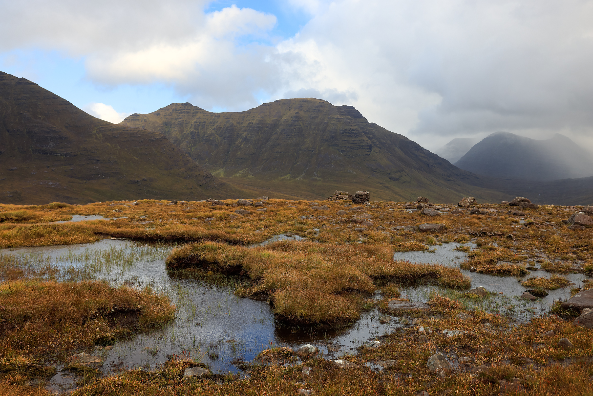
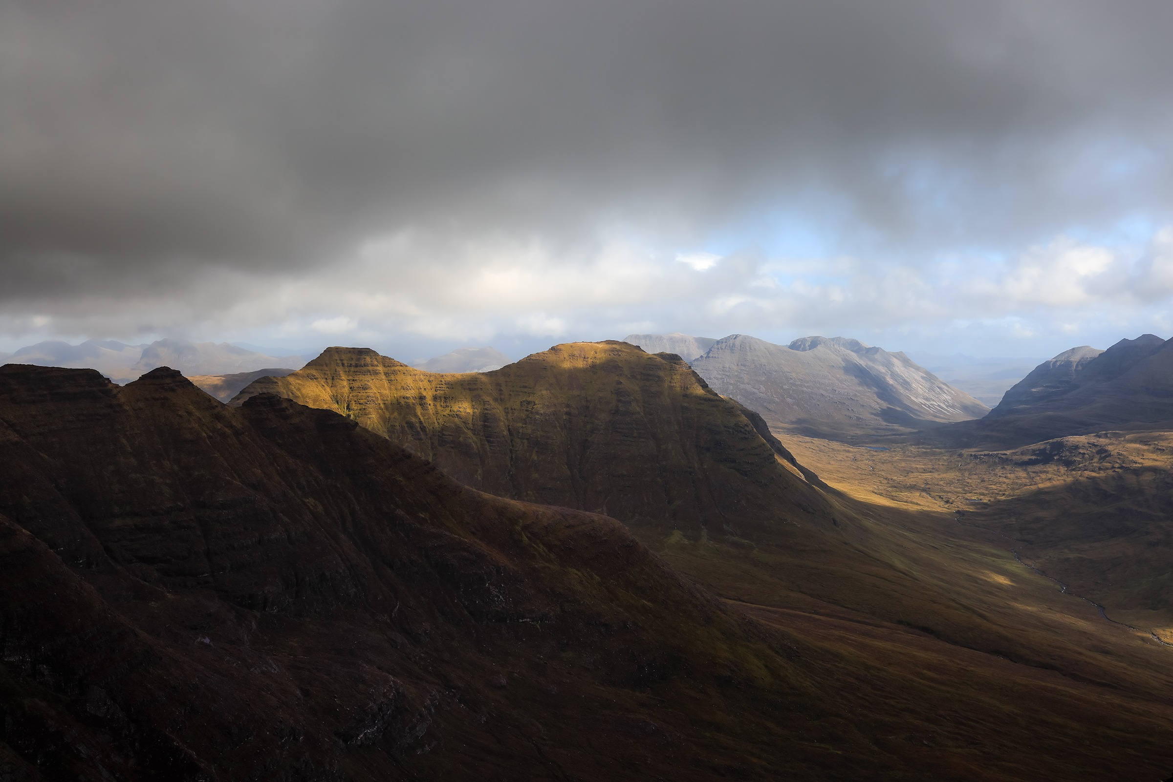
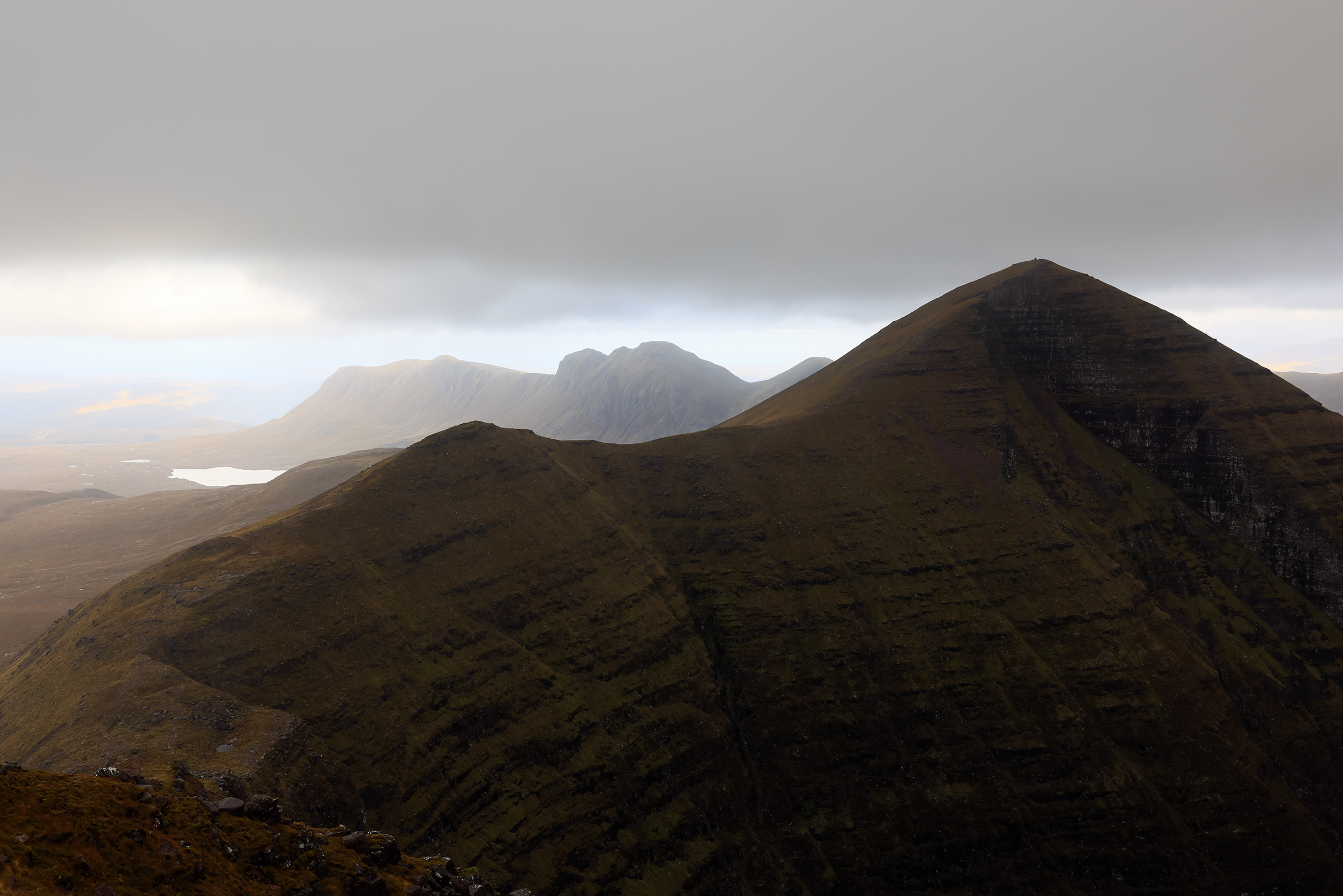
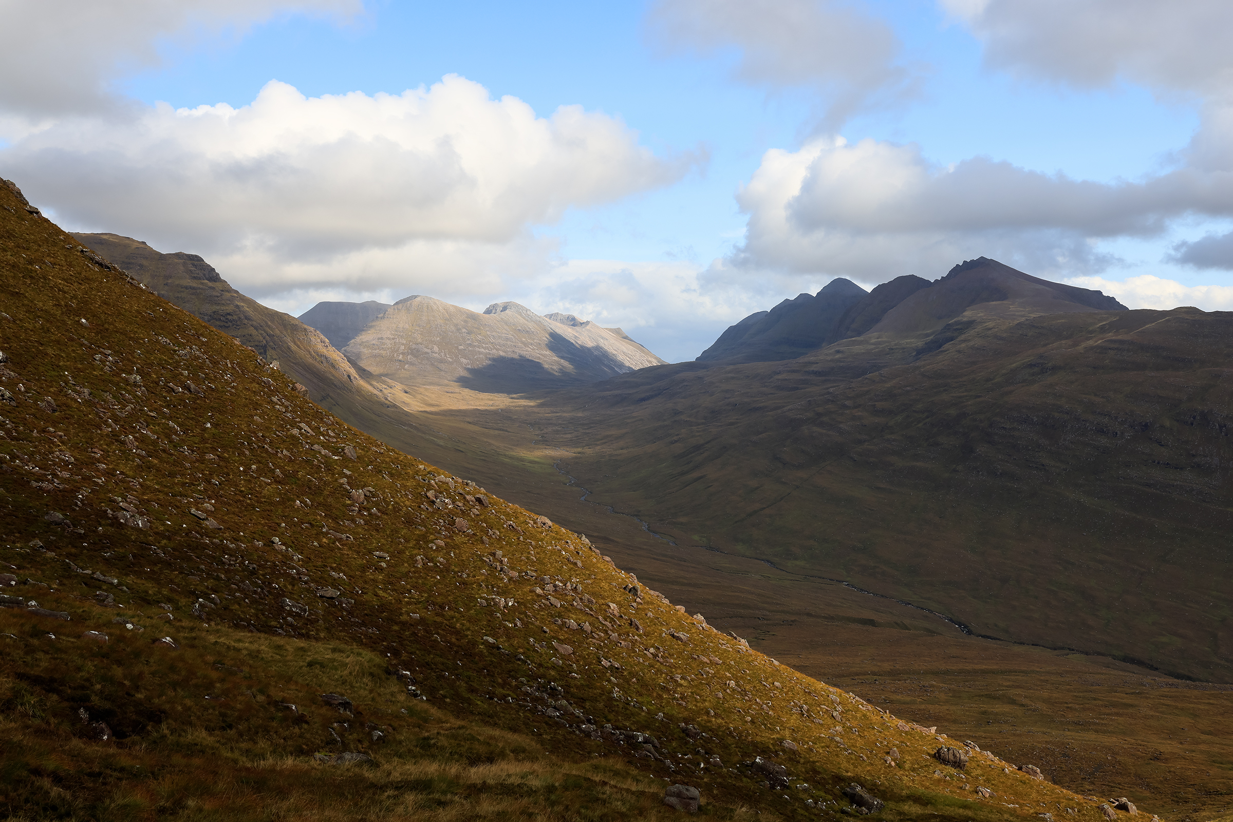
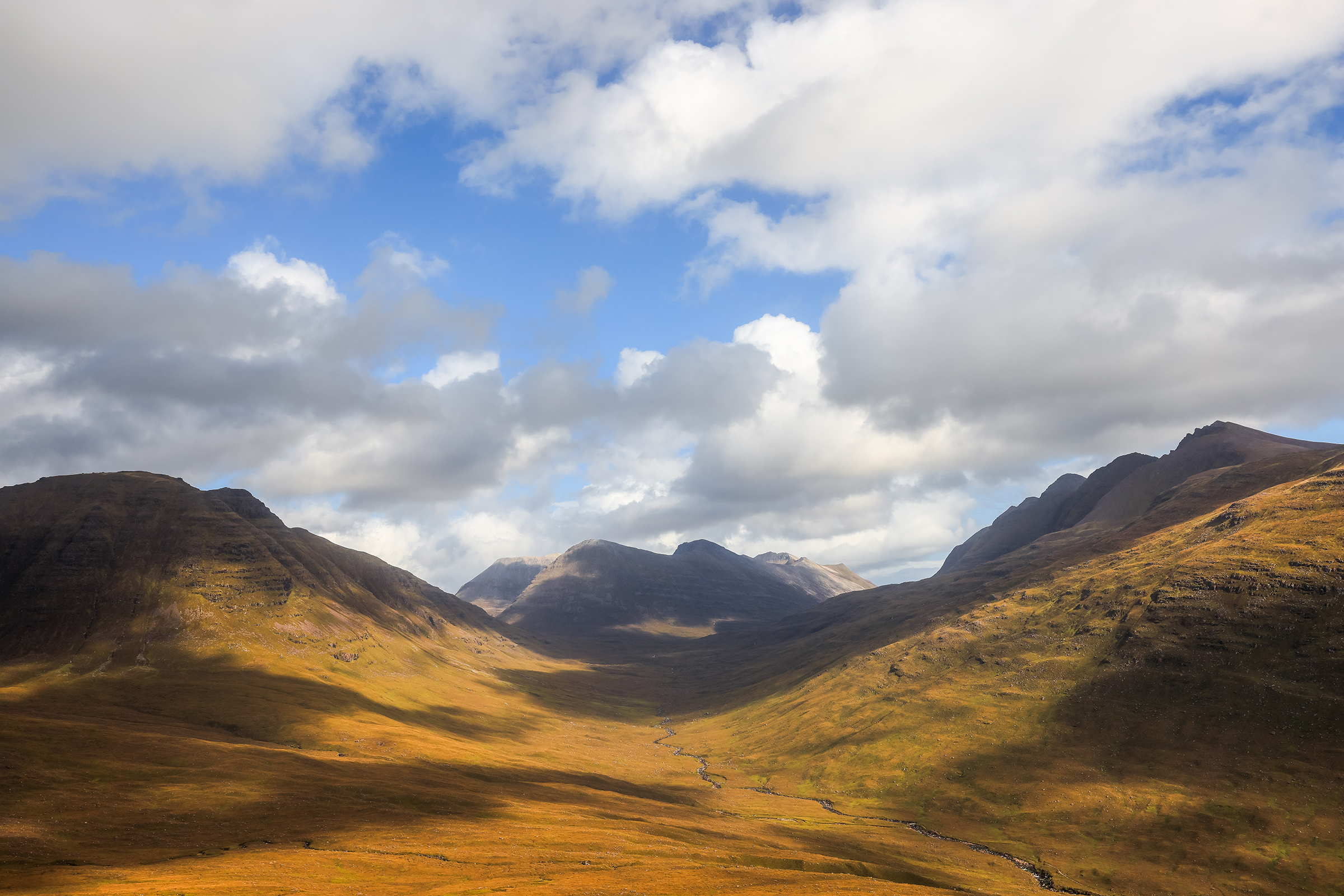
Torridon and Tom na Gruagaich
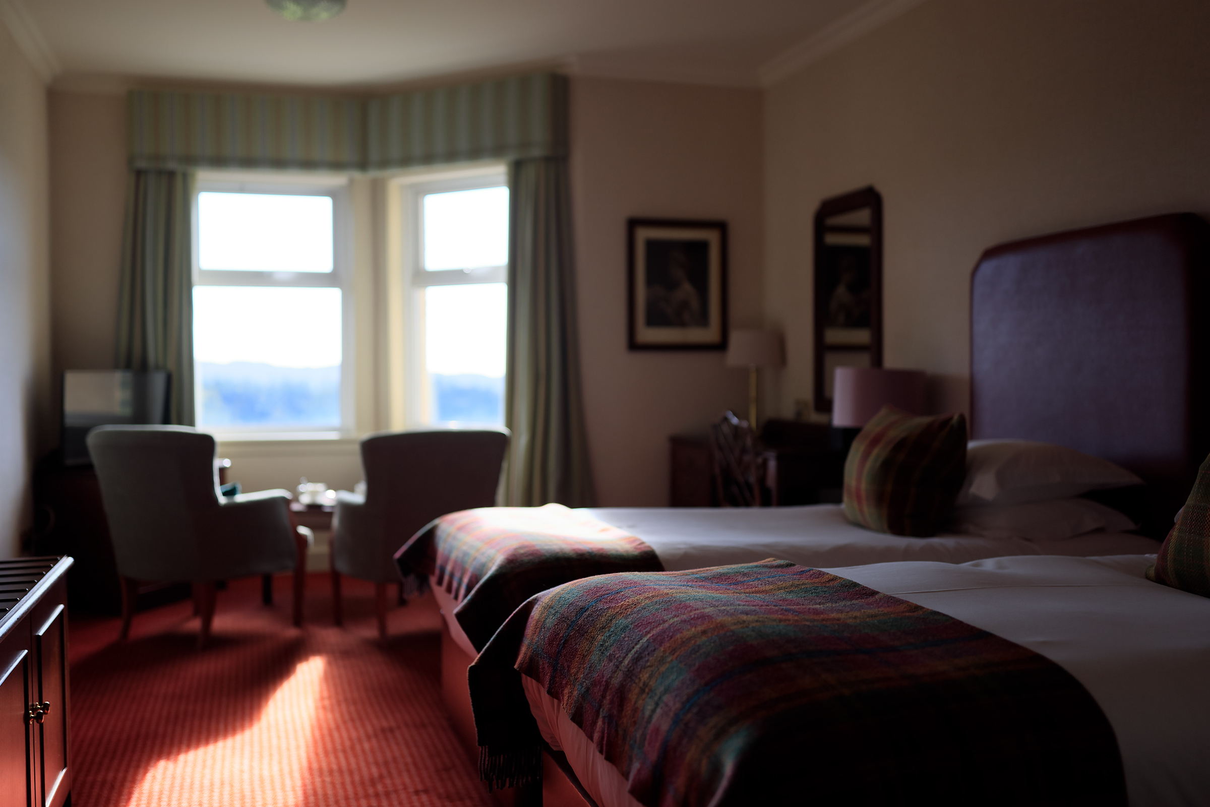
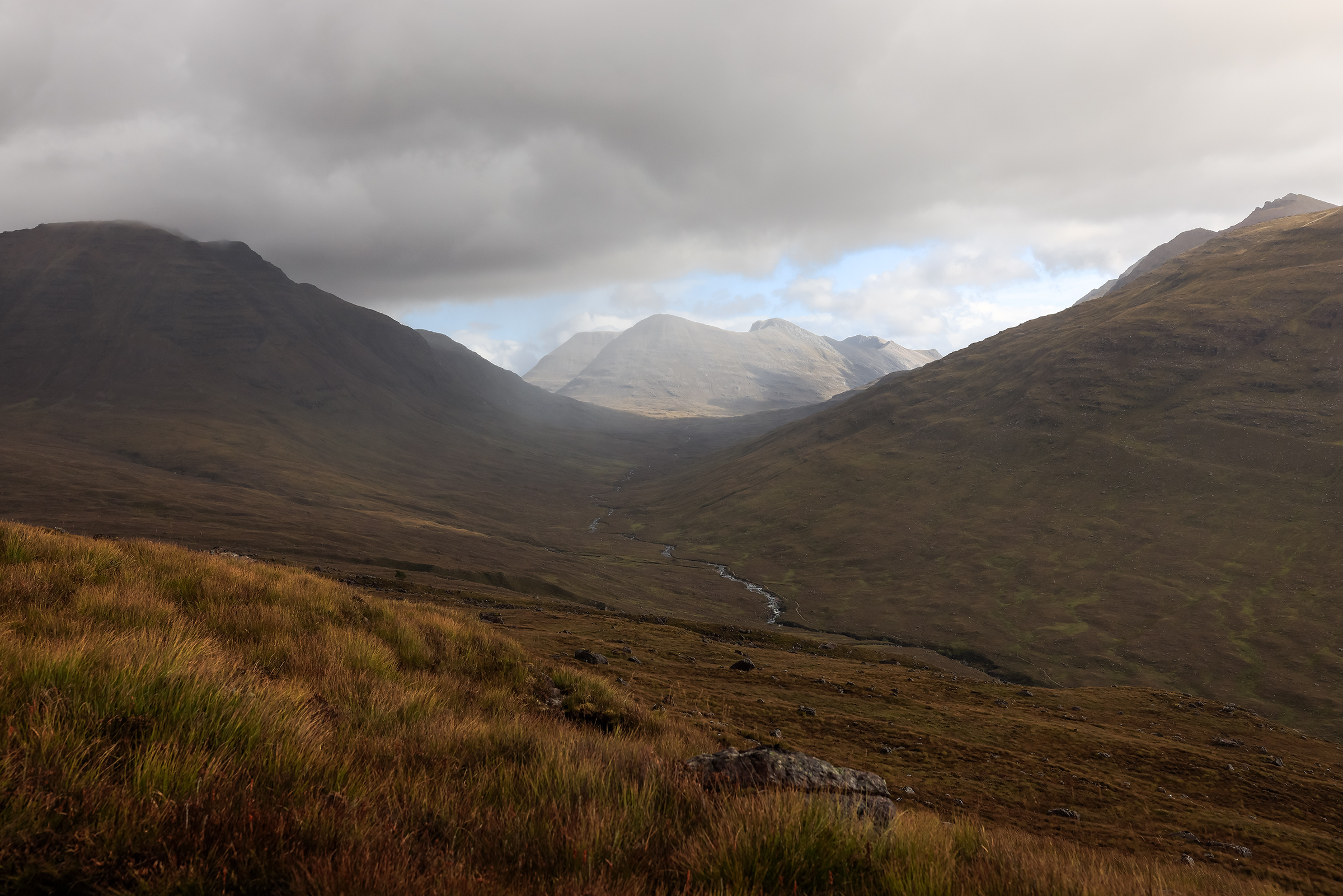
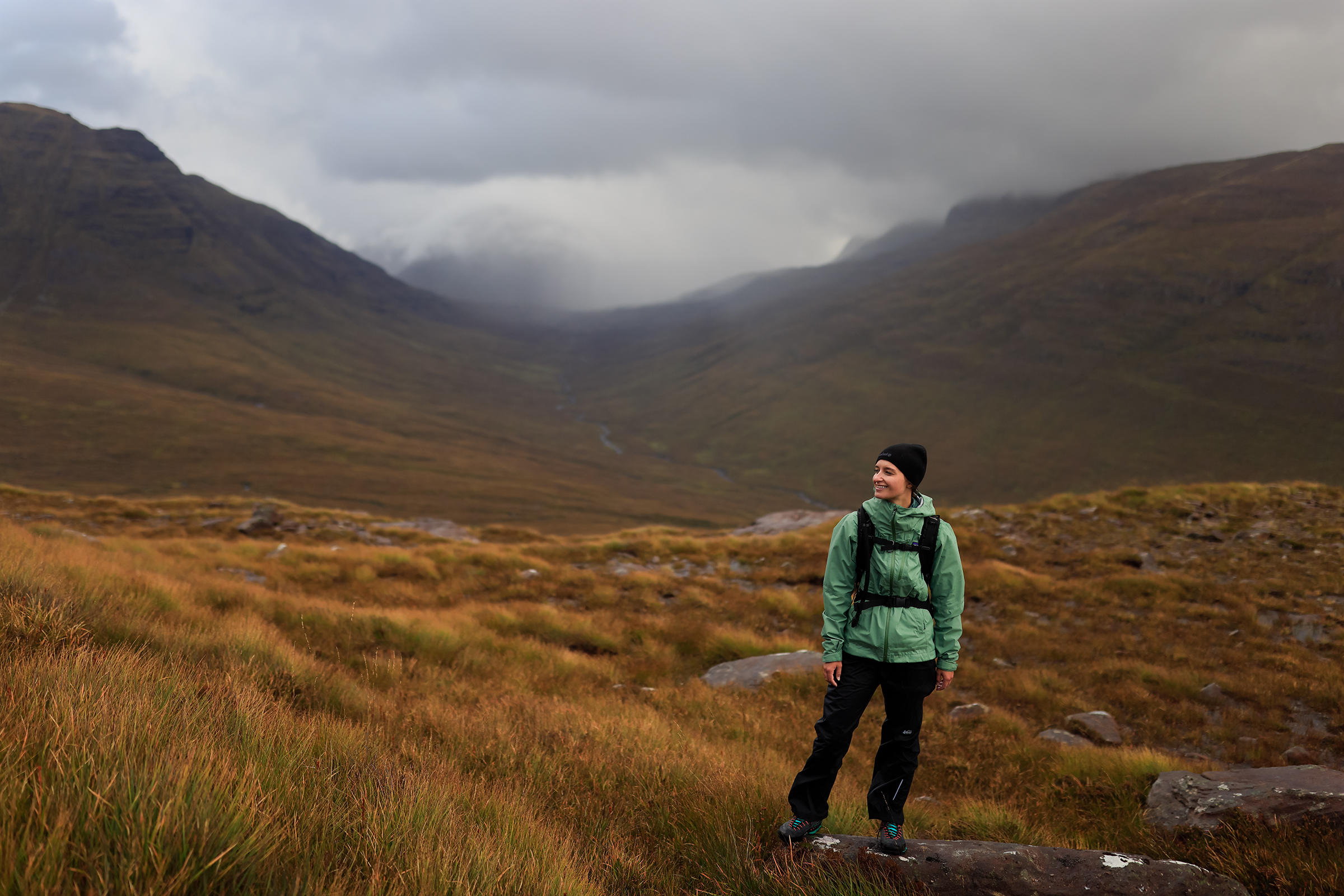
Next we make our way to The Torridon aera, my favorite in the Highlands. Staying in the “stables” of the Torridon Hotel was a fun experience and a great way to relax when the weather would turn.


The hike planned was a loop of Beinn Alligin. We shortened it because of 70kmh gusts, but the way there and back was already spectacular.


After the hike, we traveled South, towards the Isle of Skye the largest island of the Inner Hebrides.

The Hebrides is an archipelago comprising hundreds of islands off the northwest coast of Scotland. Divided into the Inner and Outer Hebrides groups, they are home to rugged landscapes, fishing villages and remote Gaelic-speaking communities.
The Hebrides are where much of Scottish Gaelic literature and Gaelic music has historically originated. Today, the economy of the islands is dependent on crofting, fishing, tourism, the oil industry, and renewable energy. The Hebrides have less biodiversity than mainland Scotland, but a significant number of seals and seabirds.
Wikipedia

The Old Man and All the Tourists
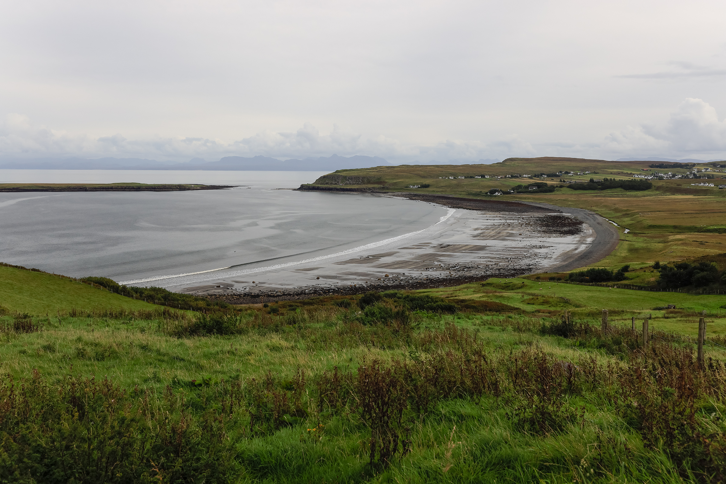
I didn’t take any photo of the Old Man — it’s the Disneyland of the Highlands, and the hordes of tourists just made me want to run away. A spectacular place for social media addicts more than adventurers. So instead, here are some photos of the surroundings, in rather dull weather.
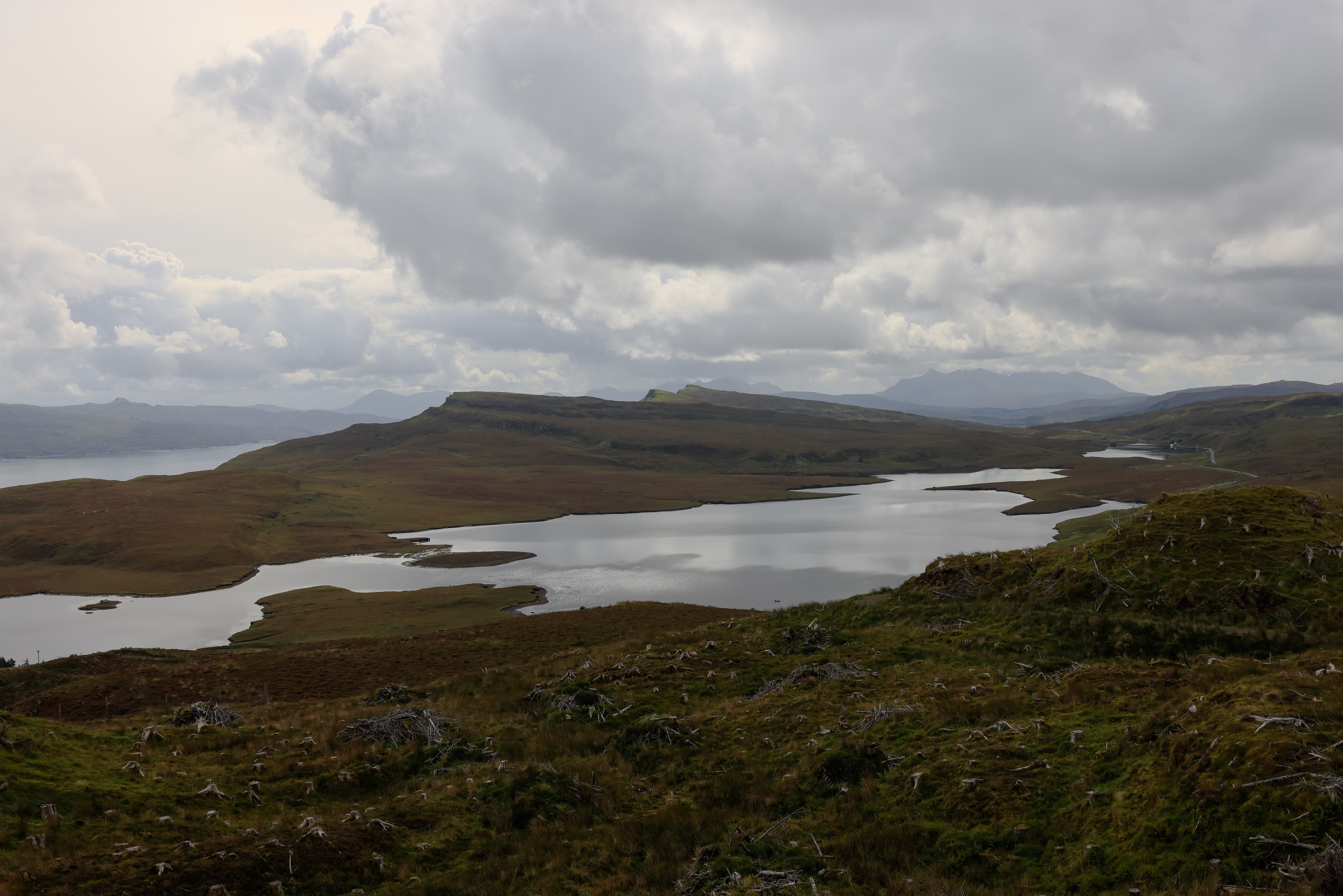
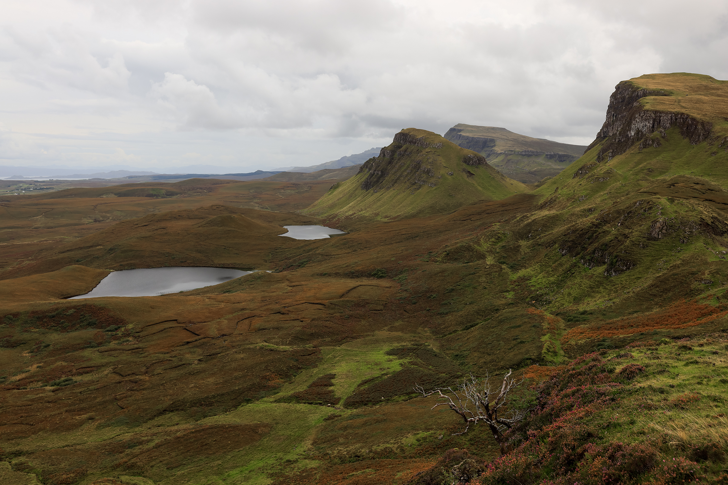
The Quiraing was more enjoyable — it required a bit more effort to see, and, thankfully, tourists prefer to drive around in their SUV.
The Quiraing is a landform on the eastern face of Meall na Suiramach, the northernmost summit of the Trotternish escarpment on the Isle of Skye, Scotland. It takes the form of a craterous hollow surrounded by a high rampart of rock.
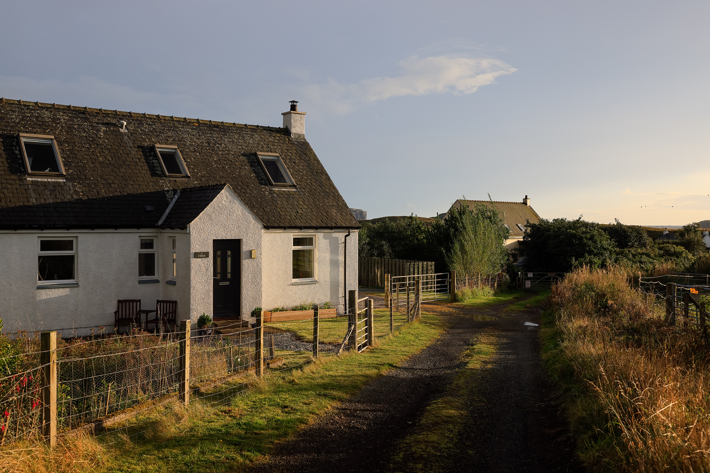
Further South, we made our way to Applecross and stayed in cute cottages.
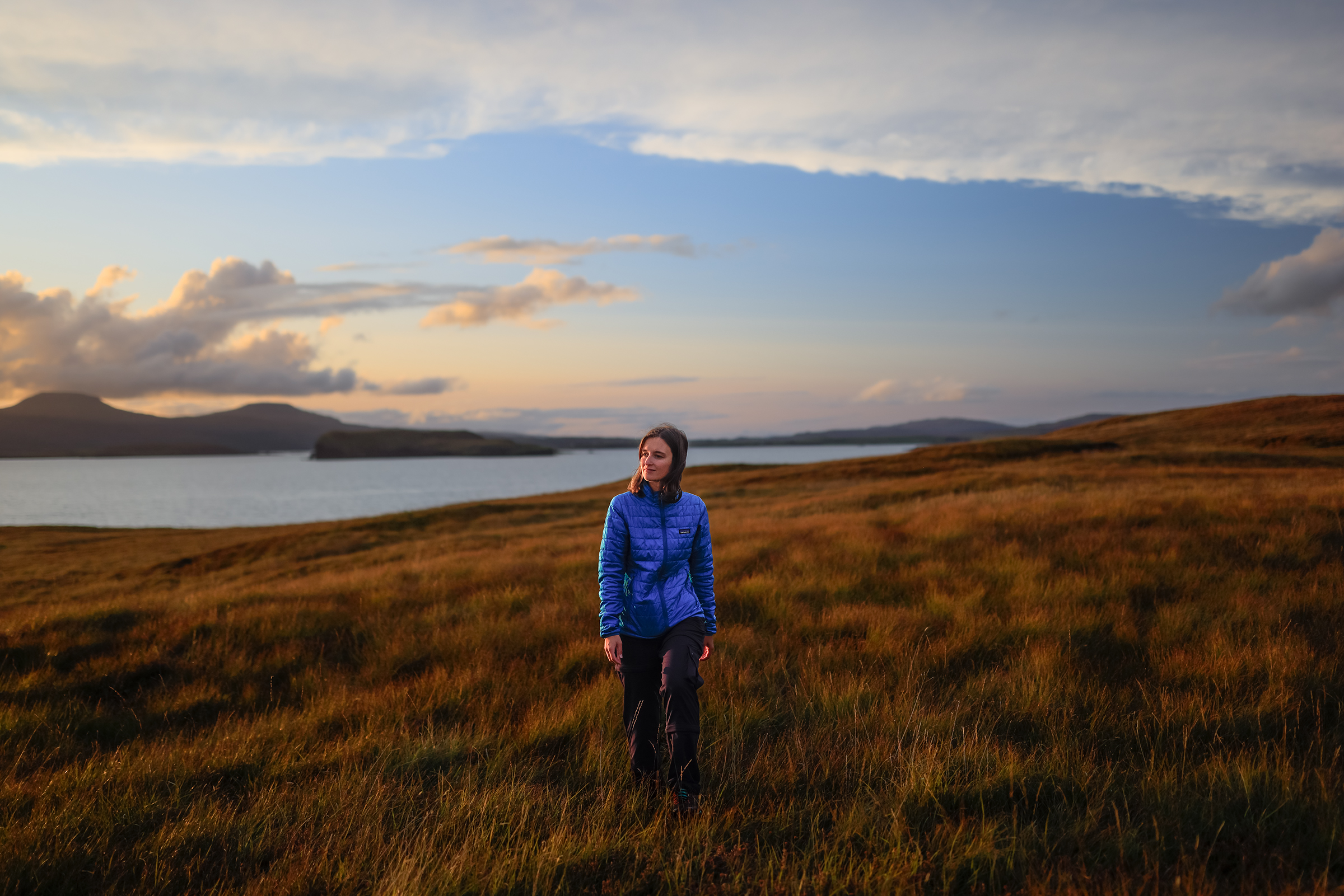
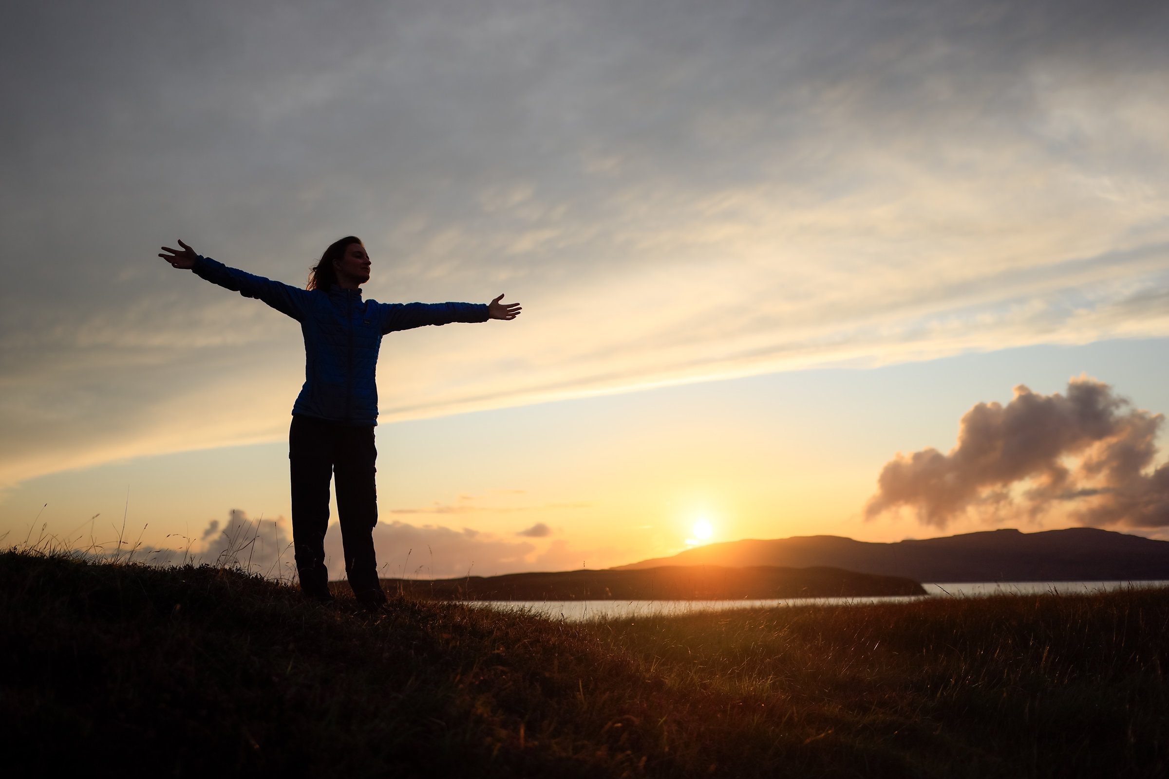
Isle of Skye, Sgùrr na Stri from Sligachan
The Sgùrr na Stri hike is relatively “low effort” with only 860m of elevation over 25km (return), but it’ll still take you about six hours, or more if you stop all the time for photos, like I do.


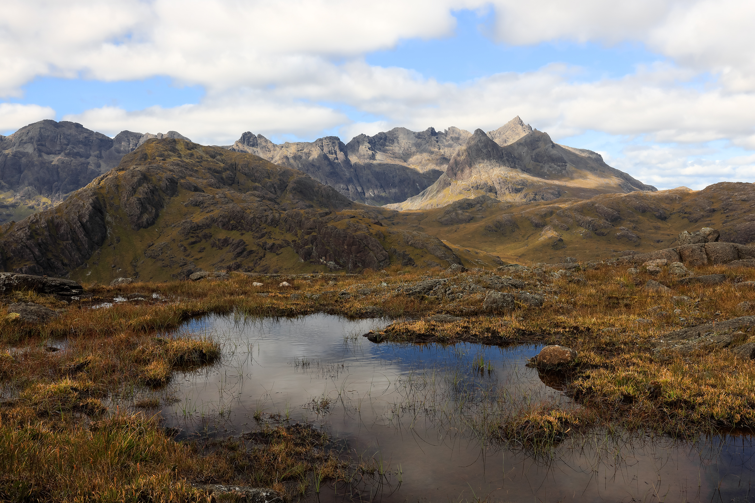
Loch Coruisk was the view for lunch. Prettay, prettay good?


And that’s it! Until next time! 👋