In August 2020, I traveled to the Lofoten Islands, an archipelago in Norway far above the Arctic Circle and known for its dramatic scenery. I had carefully planned my trip to have as many options as possible in case the weather was against me, and decided to fly into Leknes to then slowly make my way west.
In 7 days, I hiked to 7 peaks or summits for a total of 6,000m of elevation. It was sometimes sunny, sometimes foggy, sometimes rainy. But that didn’t matter much — the beauty of Lofoten’s majestic mountains gives you energy to keep going, even if it’s in the mud and on slippery rocks.
The average elevation for most of the hikes I did was around 30%, which is a totally different experience to hiking in Patagonia or the Dolomites. It gets vertical and you’ve got to be careful. I almost slipped dozens of times during that week, but only really fell a couple of times, often on the easiest paths, probably as I stopped focusing as much.
The other big difference with my previous trips is that trails often aren’t very visible and you end up having to make your own, which is both cool and challenging. That gives you a lot of freedom as there’s zero restrictions as to where you should be walking or not (looking at you Patagonia…)
I’ve talked enough and I know you came for the photos, so here ya go.
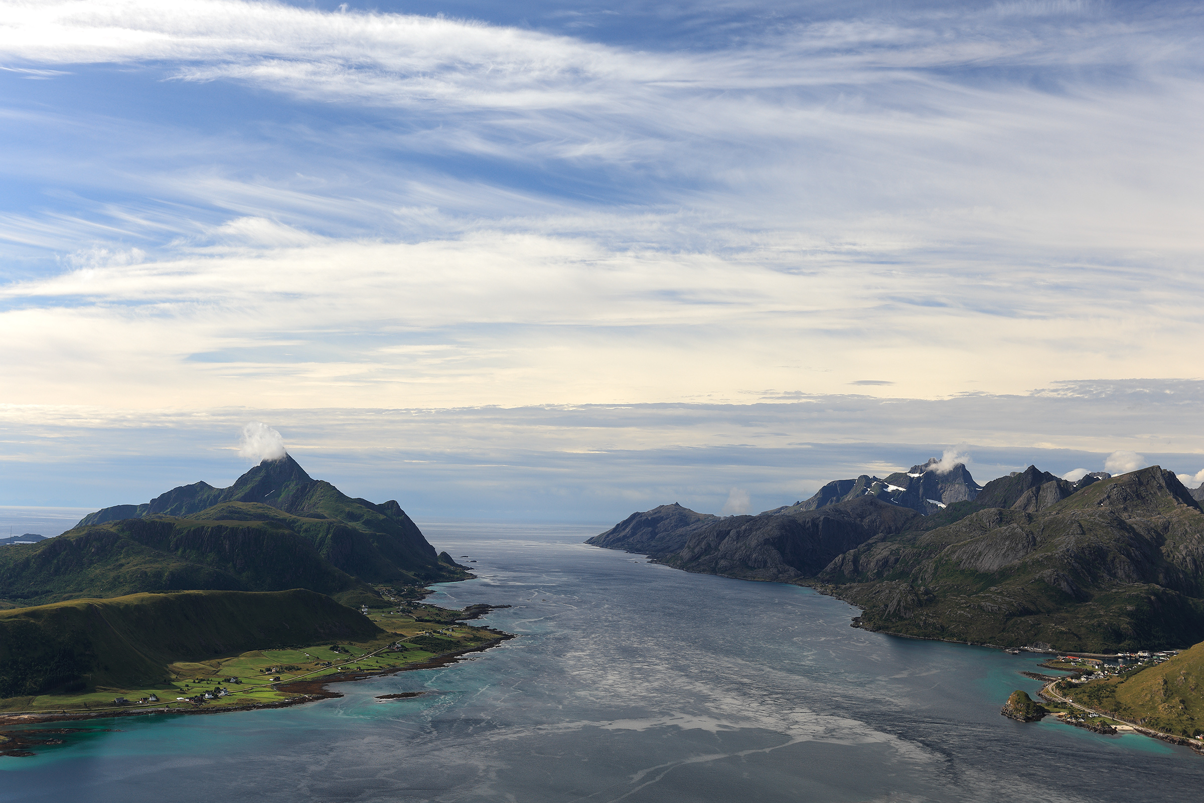
Himmeltindan Summit
One of my top 3 hikes during that week. Started with a warm welcome 🐑

You might see more of them than humans — they’re friendly but don’t talk much 😉
All right, here’s what you get from the top (I waited 2 hours for the clouds to go for those shots so you’d better like them)


Heading back to my hotel with more enjoyable views.

Offersøykammen Summit
Not the most interesting but a short one I picked as the weather would get bad in the afternoon.

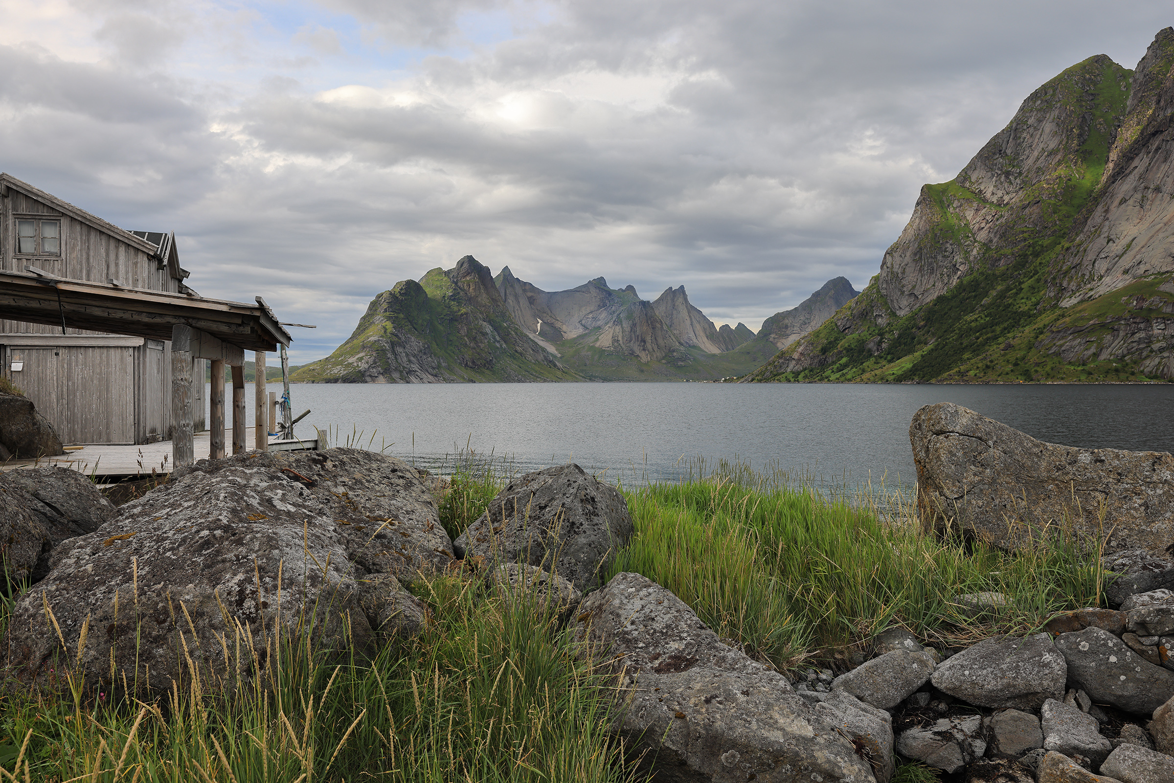
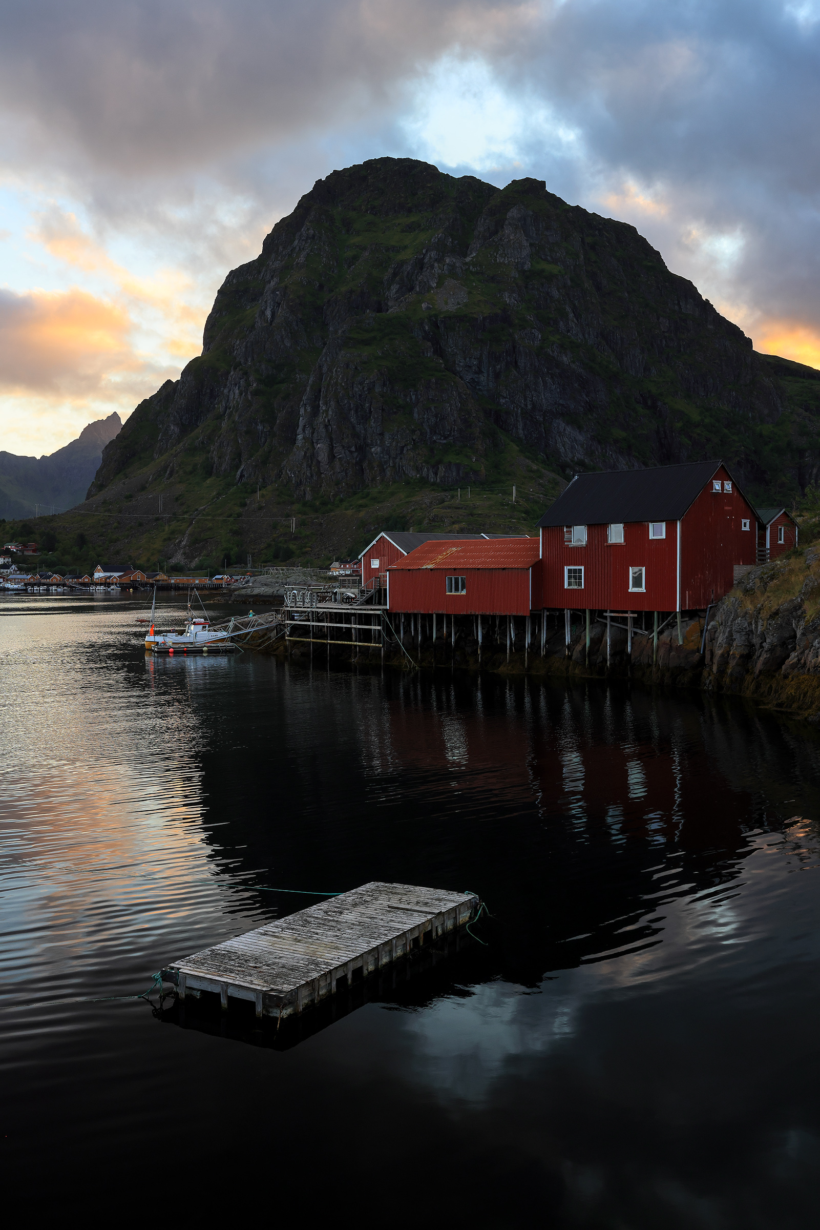
Nusfjord village
Nusfjord is one of the oldest and best preserved fishing villages in Norway.


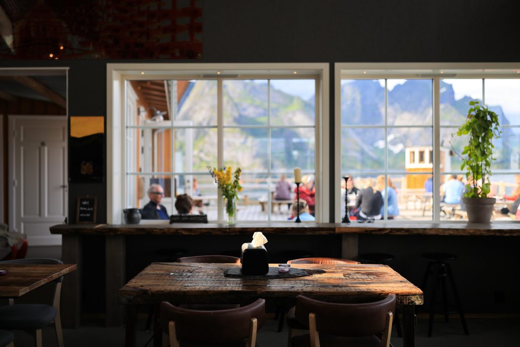
Both the restaurant and the bakery in Nusfjord have tasty food, highly recommended while you wait for the rain to stop.

Here’s a few images from driving around the area — you never get bored in Lofoten.


Ryten Summit and Kvalvika Beach
I spent the night around Ryten so I could start the hike early in the morning. I woke up to this view:


Then started the hike, making new friends 🐑🐑

The view from the summit on Kvalvika Beach was beautiful.


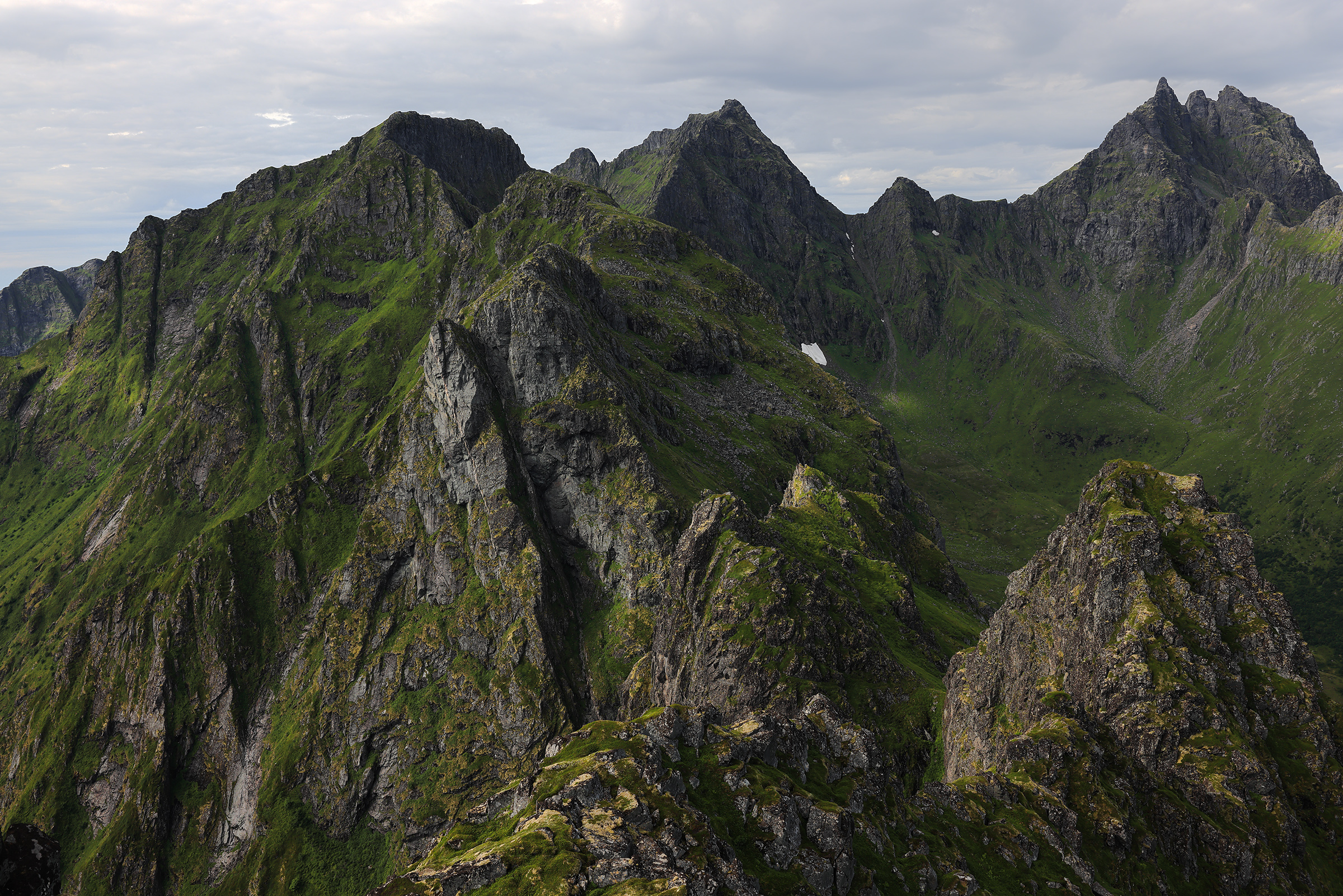
Andstabben Peak
Probably my favorite hike of the trip. It’s one of those where you don’t suspect how beautiful it’s going to be until you’re close to the top. But man, was it beautiful up there!


Hamnøy Bridge
A very famous spot for lazy photographers who won’t go up the mountains :).


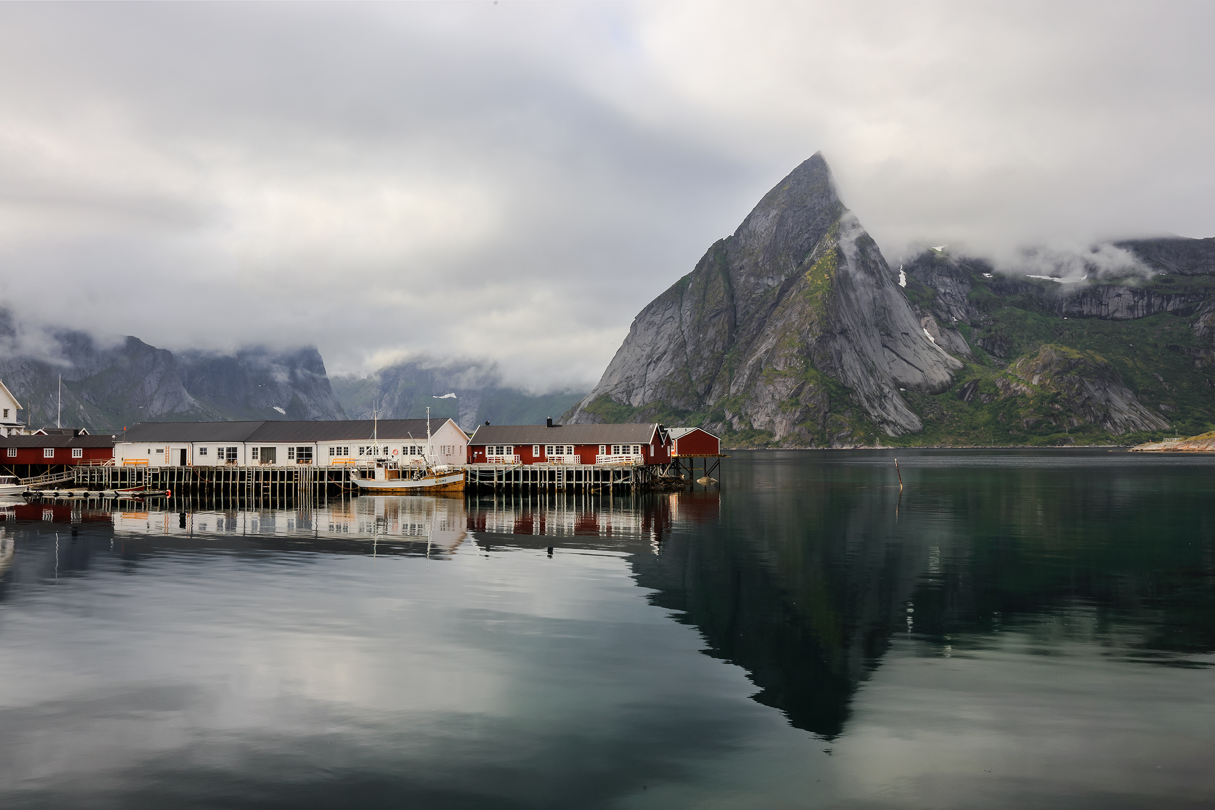
Olenilsøy, Sakrisoy and Reine area
I stayed for a couple of nights at the Rostad Retro Rorbuer in Olenilsøy, which I highly recommend.


This was my view:

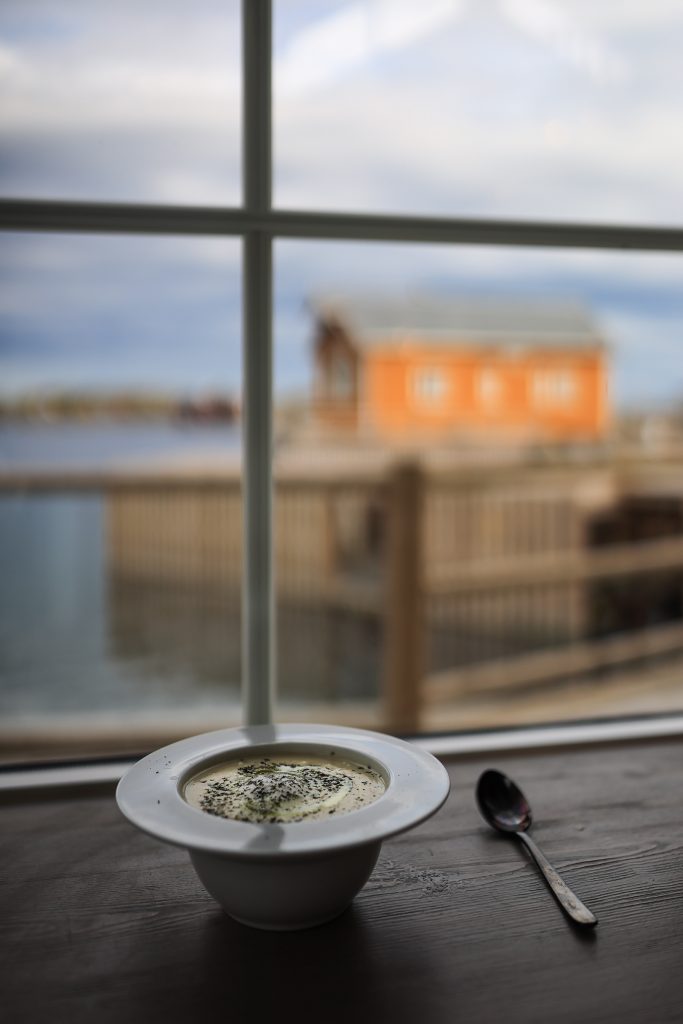
Very close was Sakrisøy, a place worth going to just for Anita’s Seafood. In case you’re wondering what’s in my plate, it’s a delicious creamy fish soup.

I then drove further west on the E10 towards Reine. I stopped in a few nice locations.


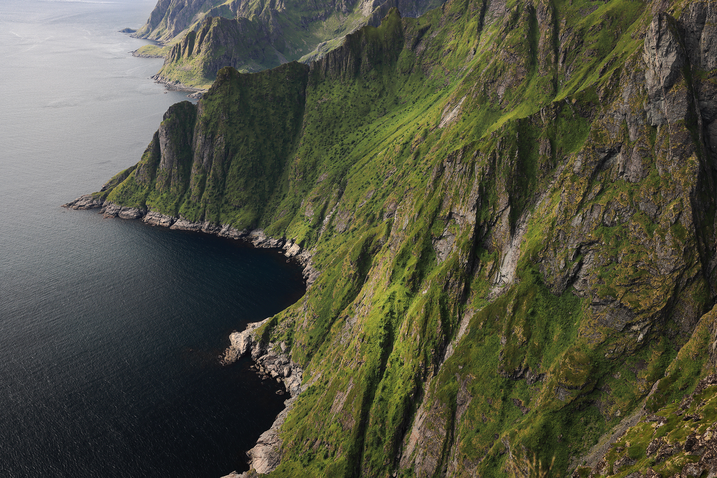
Helvetestinden Summit and Bunes Beach
Helvetestinden is a very exposed summit and guides advise against going up if the conditions are bad. The view of Bunes Beach you get at the top is however incredible.

And back down, the beach was as spectacular, despite the weather.


Sørvågen and Holmen Lofoten Hotel
Sørvågen is another beautiful area of Lofoten. A number of amazing hikes start from this area.
Even though I didn’t stay at the Holmen Lofoten Hotel (I might in the future!), the architecture of the buildings was worth a little trip.


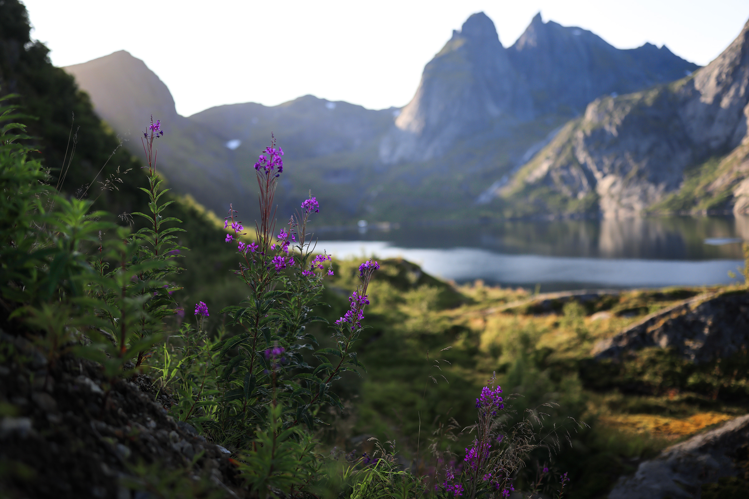
Veinestiden Summit
Another incredible hike with a number of beautiful intermediate stops, including this lake:


And the view from the summit:


On the other side, you get to see the whole Reine area.

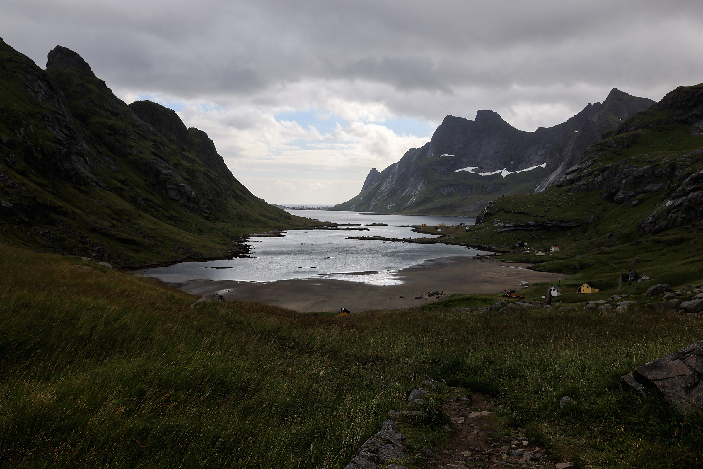
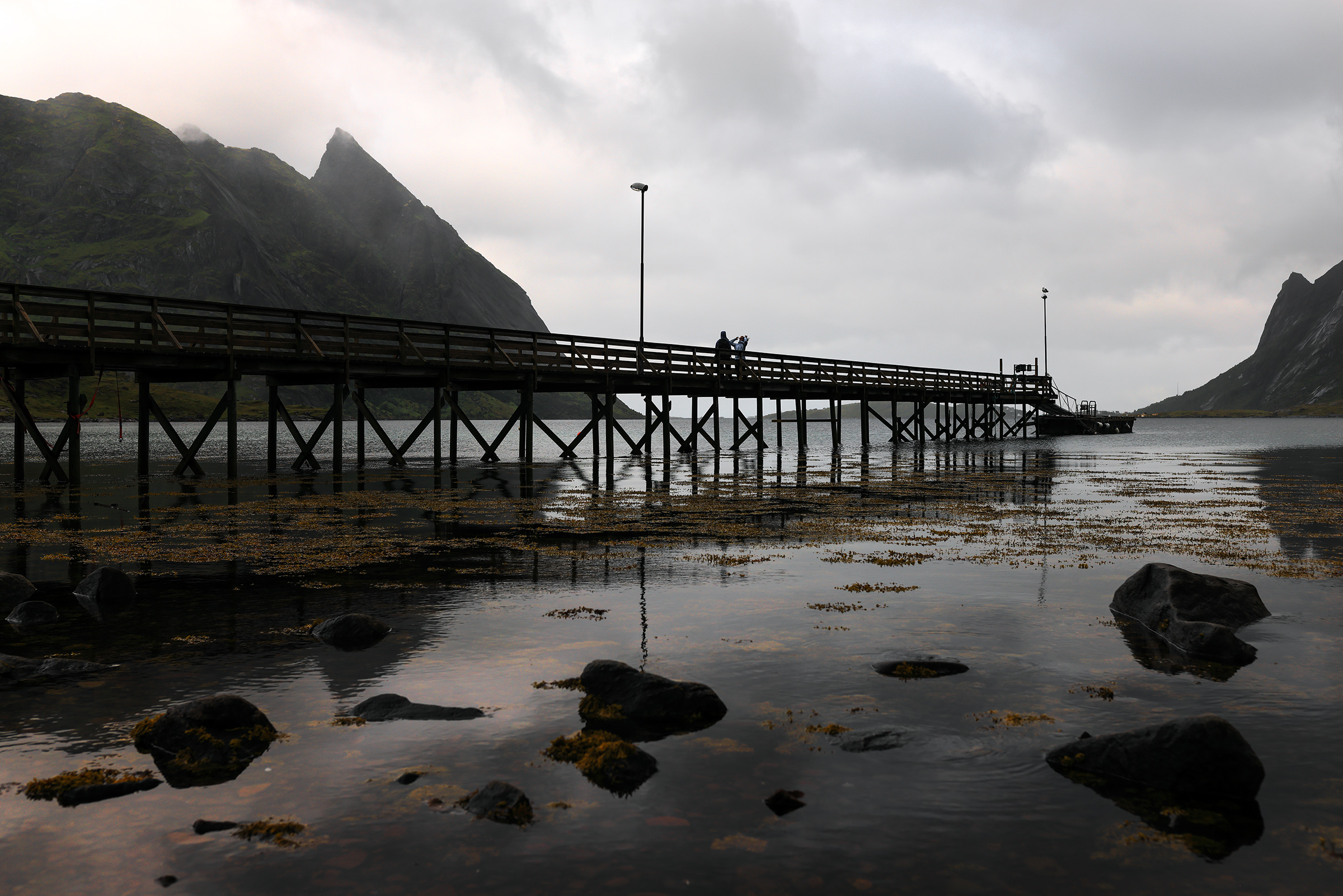
Markan Summit and Horseid Beach
This is from the deck where you get the ferry to Kirkefjord, the starting point for the hike to either the beach or Markan.

The valley leading to the beach is quite beautiful. At some point you take a right turn to start going up to Markan (yeah steep!)


After a bit of scrambling, the view from the top.

Some prefer to enjoy it from the bottom… not bad either :).

Heading back to my apartment, I stopped in Tind, a pretty beautiful village. Seagulls are pretty vocal there.

Heading back home


And that’s… almost it!
The photos that never made it to Instagram
A few squares for you Instagram addicts. Photos from my lunch breaks mainly 🙂


Hope you enjoyed following me around — it was a pretty full week.
If you’re looking to plan a similar trip, I recommend you get this book with 60 day hikes and read this blog. They are roughly the two competing resources for hiking in Lofoten and both do a great job at describing the hikes.
Always keep in mind that the difficulty levels mentioned in those guides are very subjective. Some of their medium hikes felt hard while some more difficult were just fine. It depends a lot on the conditions on the day — wind and rain can make things a lot trickier! The weather app will be one of your best friends in Lofoten.
Be safe in the mountains! 🏔
Awesome pictures and great blog post, really made me want to go there.
Astonished by the picture quality of the R5, you used it well !
Thanks a lot! Definitely worth a trip!
Amazing images that really draw you into the scene! You are a very talented photographer! What lenses were you using? I’d like to get some RF glass but for now will keep using my EF glass on my R5.
Hi Tom! Using Canon’s 35mm 1.4 and 85mm 1.4. They work great on the R5 with the adapter!
Wow great pictures thanks for waiting for 2hours for the clouds to disappear.
Got to be patient in the mountains!
Nice shots. My takeaway as a boy from the Alps is that the mountains look more majestic than they are 😉 since they are all around 500-600 meter high – much like hills.
I guess you where lucky that this year with corona there are no people. Last year even in end of September with everything closed all the hikes where full of people.
I wonder why you didn’t do Ryten and Reinebringen … Wich are yes very popular, but also have some of the best views.
I did do Ryten, it’s around the beginning of the post! And I also did Reinebringen but enjoyed Veinestiden a lot more. Reinebringen was SO busy it put me off a little.
That was amazing, makes me want to go for sure! I love how you’ve got a good mix of both – some photos of breathtaking villages, and a lot of other photos of the landscapes. There’s this mix of urban and nature that I think you’ve completely nailed.
Thanks! It was actually my dad’s first comment when he saw this series. I always try to mix it up a little — makes the story more interesting!
Well done, buddy, well done! I’ve been to most of those places and yet you almost make it look like I completely missed the best details 🙂 Keep it up!
Thank you sir — we still have to climb a few mountains together!
These are beautiful photos. Thanks for posting. Makes me want to take the same trip!
Thanks for the beautiful images. I have been twice to the Lofoten Islands. A beautiful location to visit.
The images are STUNNING- the R5, with your skill and processing look amazing but there’s a part you haven’t told us yet, what lenses did you use also? Believe me, I know how much ‘talent’ has to go into the mix but I’m just curious now, have been at it myself for years and owned a photo lab for 24+ years also.
Thank you Paul! I used mainly the 35mm 1.4 on this trip, though some of the shots were taken with the 85mm 1.4. I’m a bit of a prime lens addict 🙂
Very nice work, great locations and composition! As i suffer from fear of heights I in particular appreciate your top photos as I would never get up there. I love the Lofoten Islands, I have been there twice in the last year, late Fall and late Winter, where the weather was quite different than during your visit. Feel free to check out both trips on my website, https://www.ingoschobert.com/norway-2019 for the Fall and https://www.ingoschobert.com/norway2020 for the Winter.
Thanks for sharing, I hope you enjoy your camera!
Ingo
Beautiful photos! I did go to Tromso in the winter time in 2019 and loved it. It was freezing cold though! 🥶