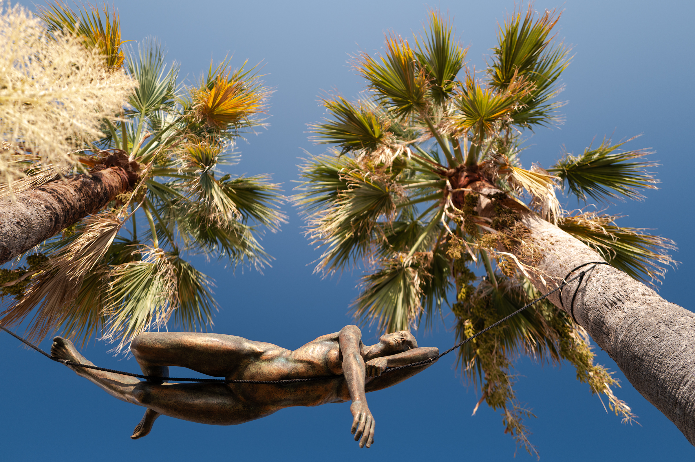
The Torino Nice Rally (TNR) is a “bikepacking, touring or randonneur event” for cyclists who want to discover the roads and trails of the French and Italian Alps riding. It amounts to about 700km and somewhere around 16,000m of climbing, depending on the route you pick. It was designed by James Olsen, who was inspired by the Tour Divide, an event that’s free and unregulated, but promotes a good ethic.
Mid-September 2024, I embarked on the journey, ready for long hours on the saddle in the middle of enchanting landscapes. On a map, it would look like this:

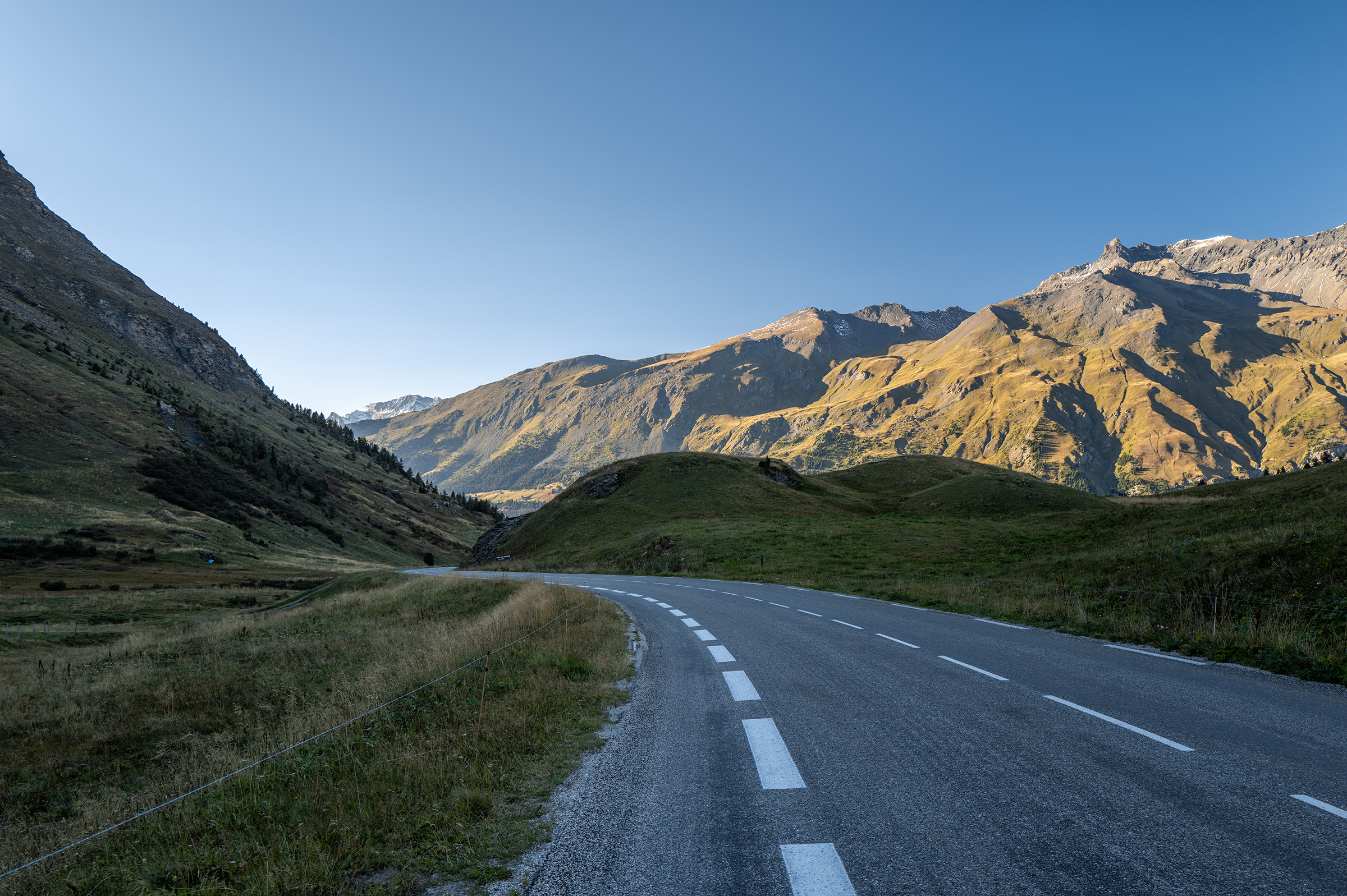
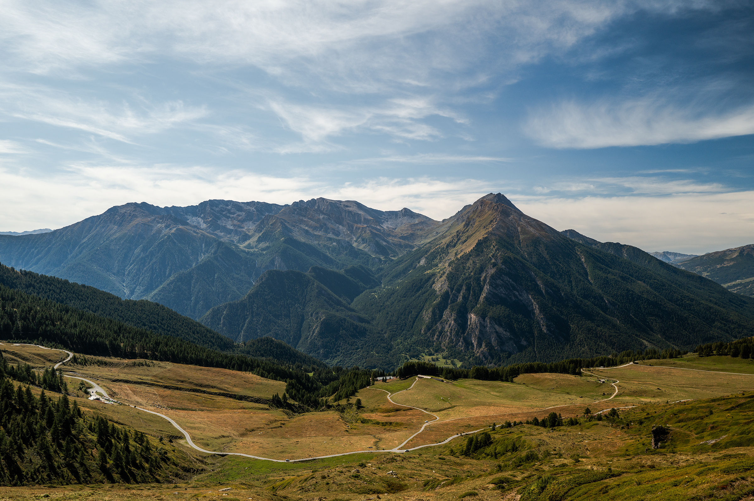
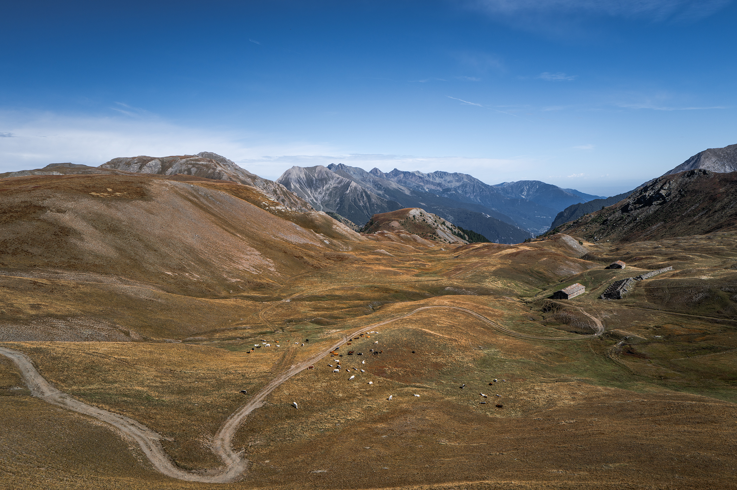
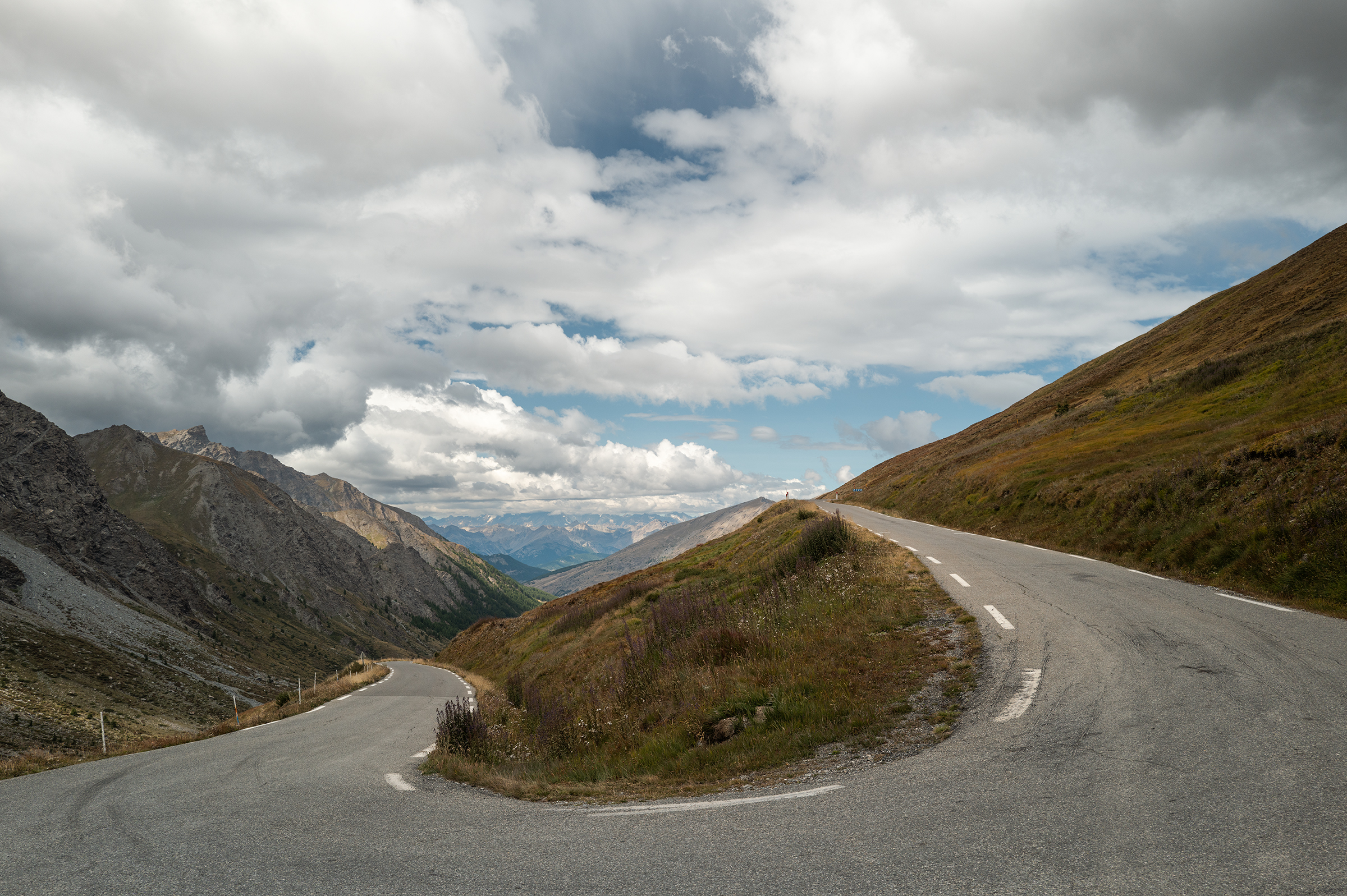
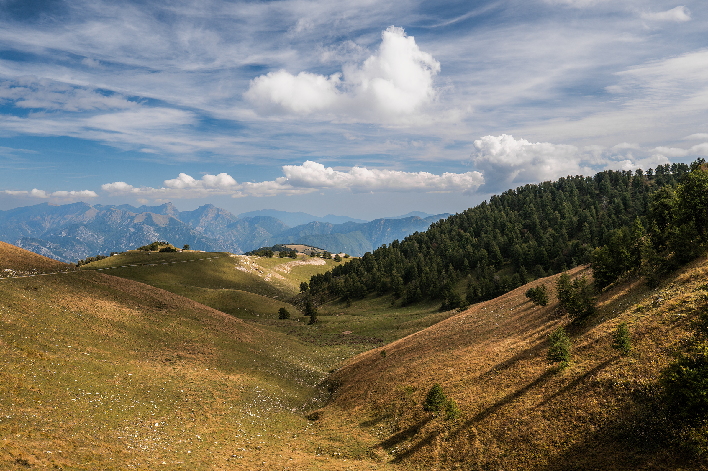
Day 1: Prelude from St Jean de Maurienne to Susa via Mont Cenis Pass
From Paris, the train to Turin ride currently takes 10 hours with several connections, so I had to start my journey from somewhere else: I took the train to Saint-Michel-Valloire, with a connection in Chambéry, which took about 4h30. This meant that to join the TNR, I would do a prelude ride of about 85km and 1,800m of elevation.
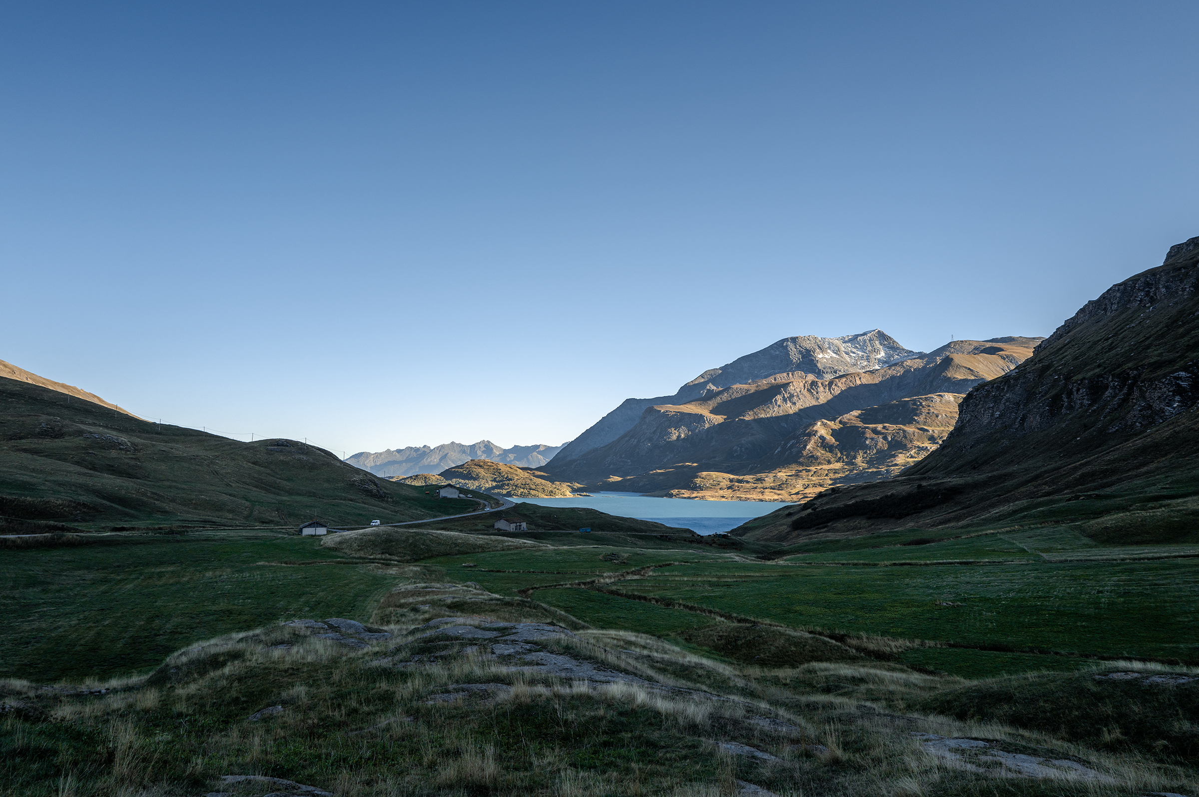
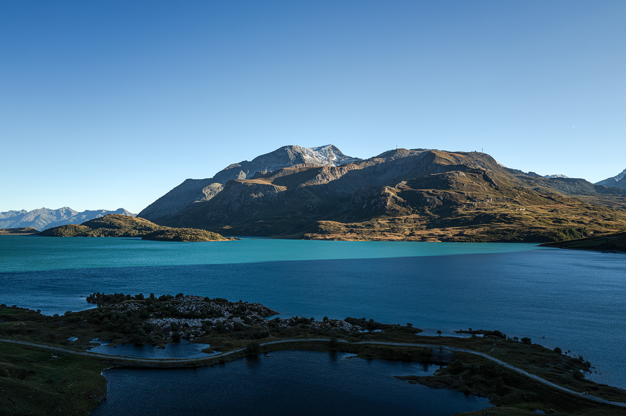
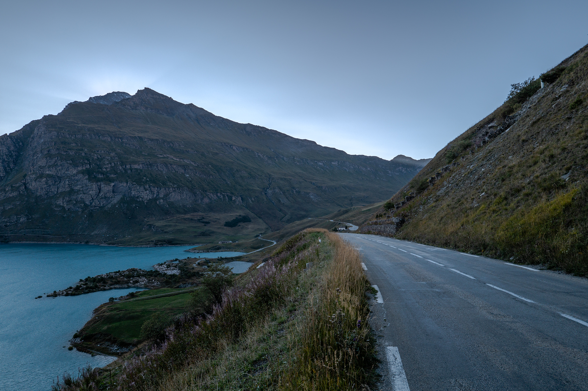
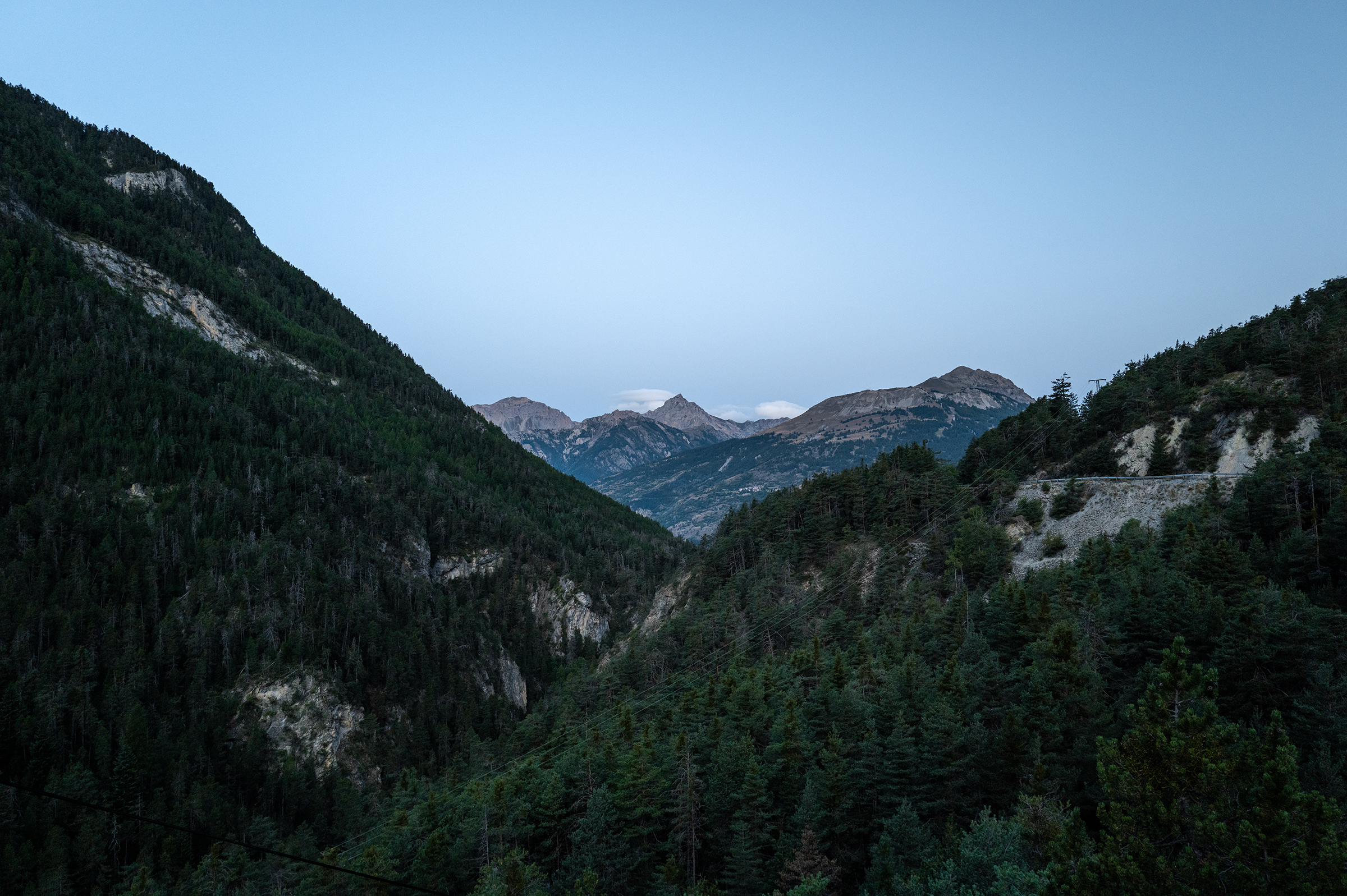
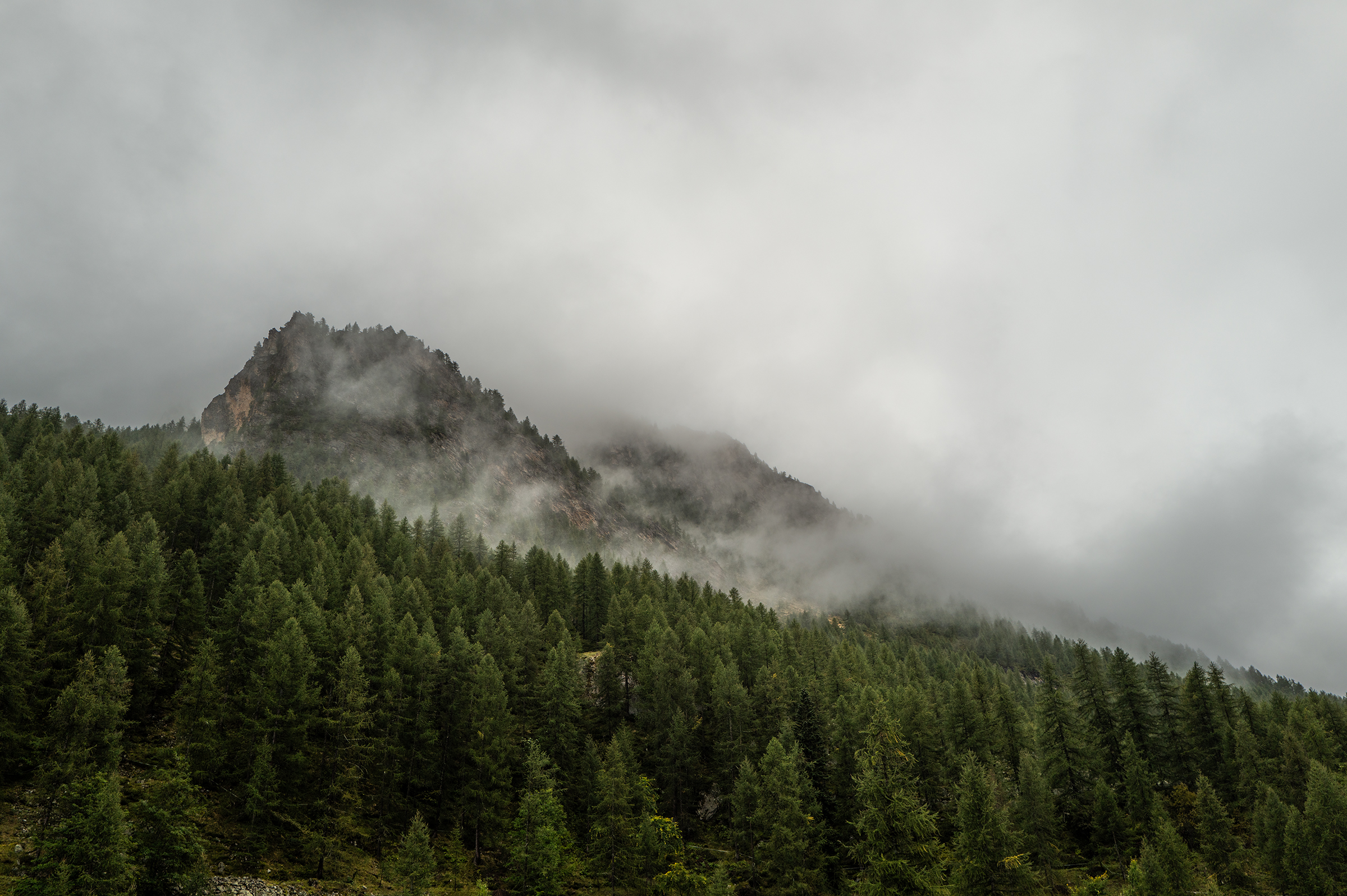
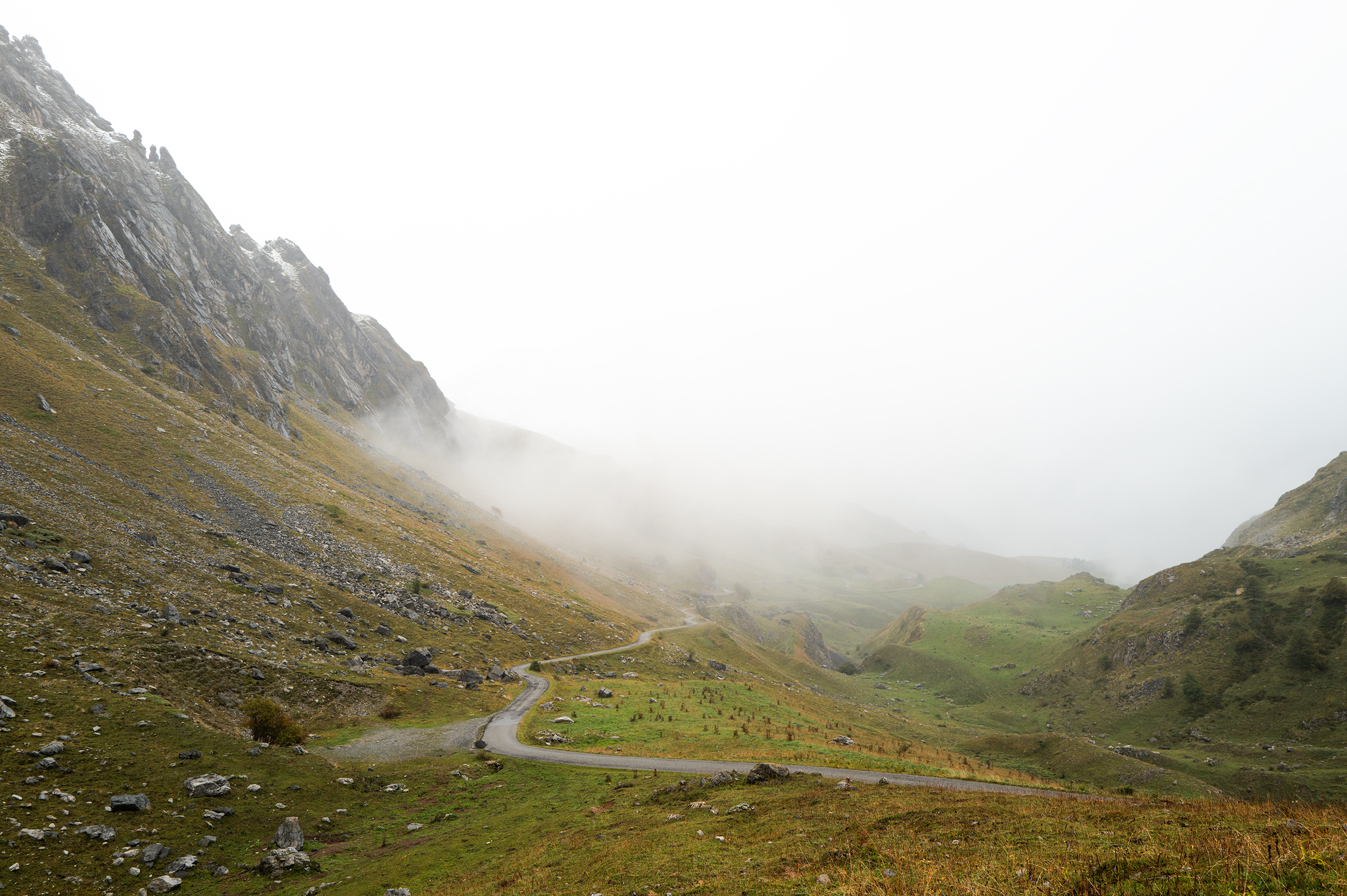
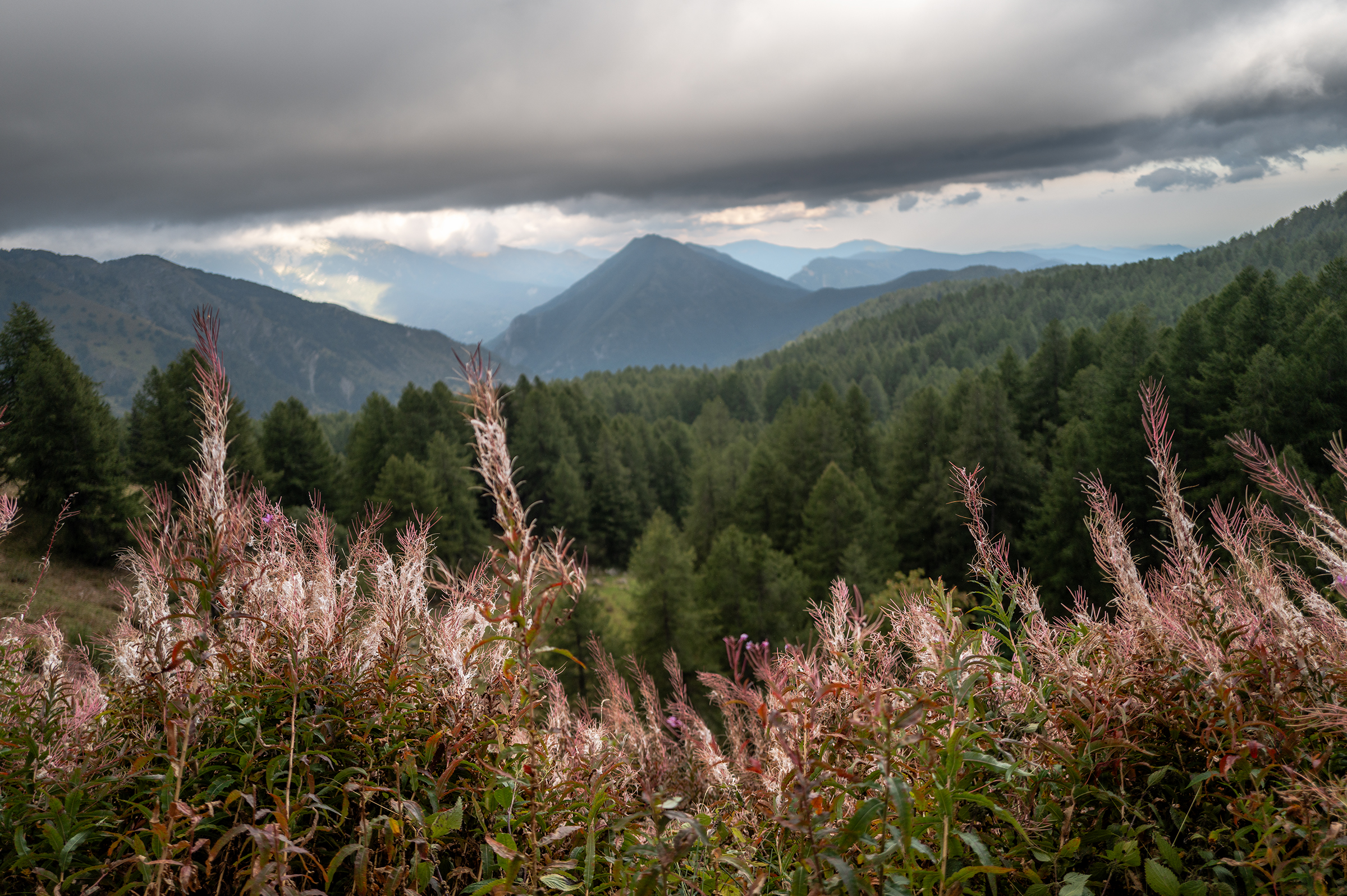
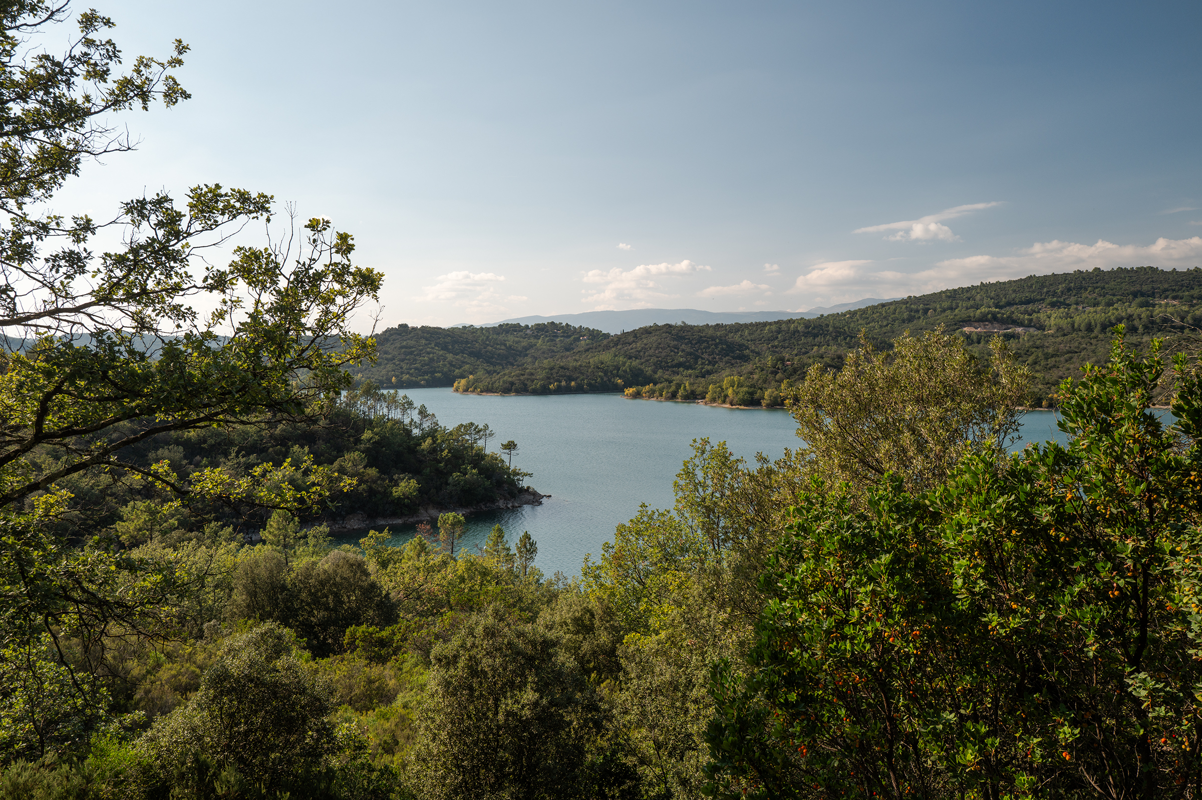
That first ride was a steady climb to reach the Mont Cenis Pass and its incredible lake. It was sunny but colder than expected — something which will become a recurring theme during my trip.
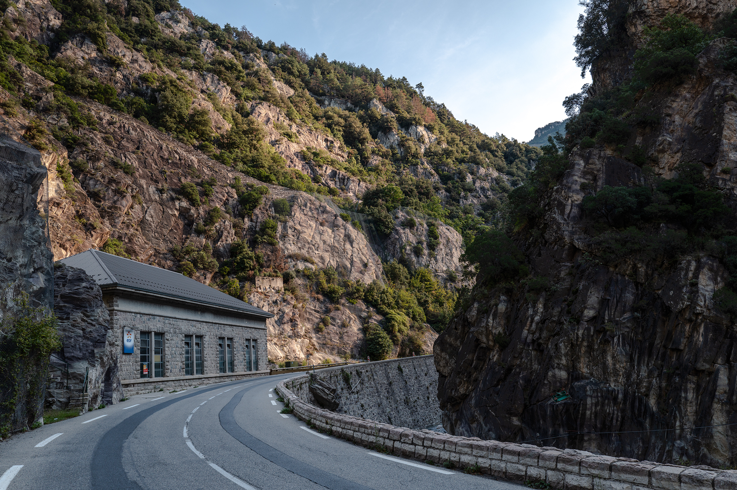
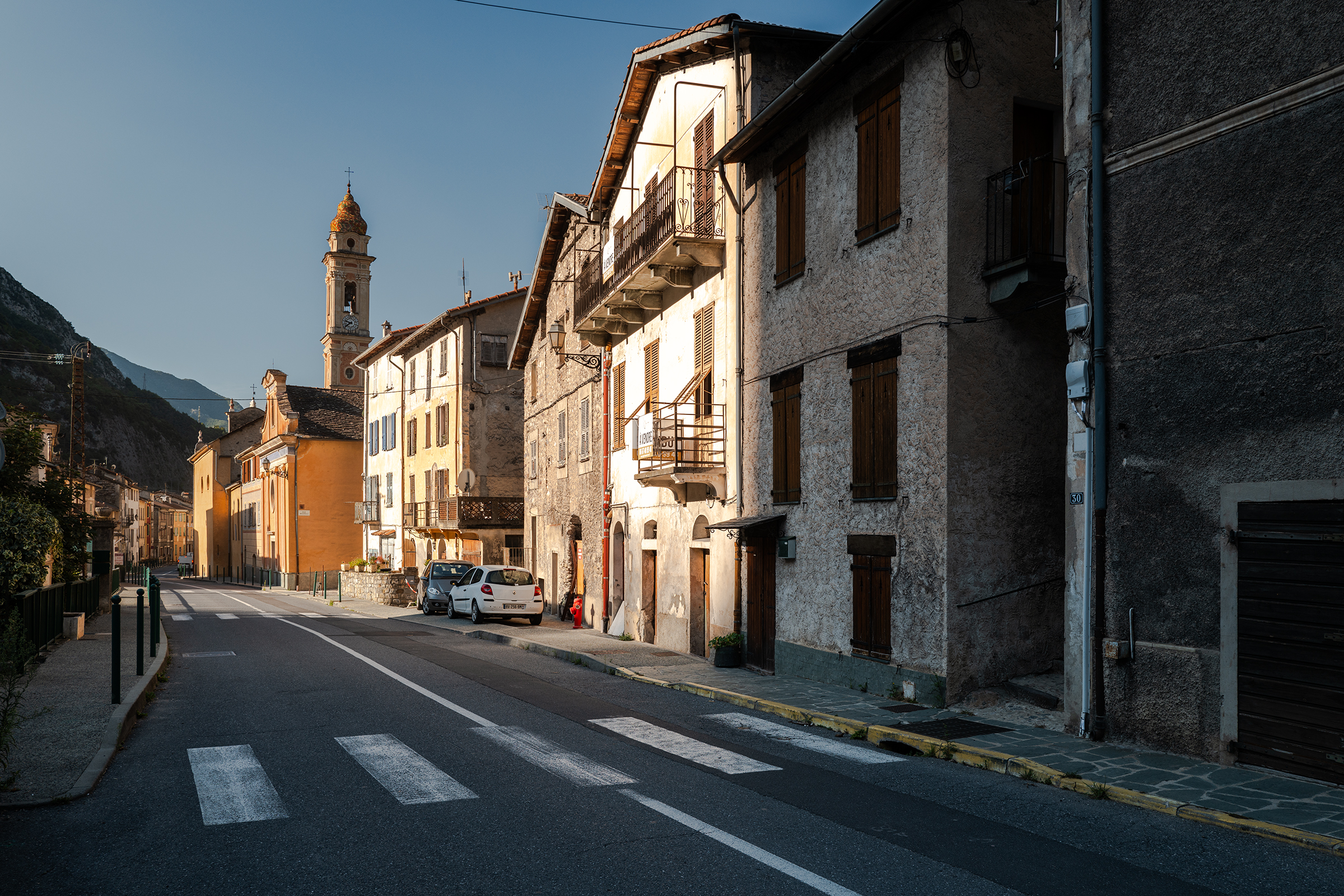
As I was nearing the top, I stopped to open my saddle bag and pulled out a few layers. The lake Mont Cenis, stunningly blue, was finally in front of me. I started down the descent for a better viewpoint and a few photographs. Going into the night, temperatures became negative, and the sun slowly disappeared behind the mountains. I started descending and crossed into Italy, arriving at the quaint village of Susa.


There would be a price to pay for this exhilarating ride. Later at the hotel, I started unpacking only to realize that I never fully closed my saddle bag. Gone were my light gilet, a merino wool jersey, and two base layers, including a very warm one I cherished. Quite a lot of money down the… mountains. Not a great start, but I decided it was the universe’s way of telling me I overpacked.
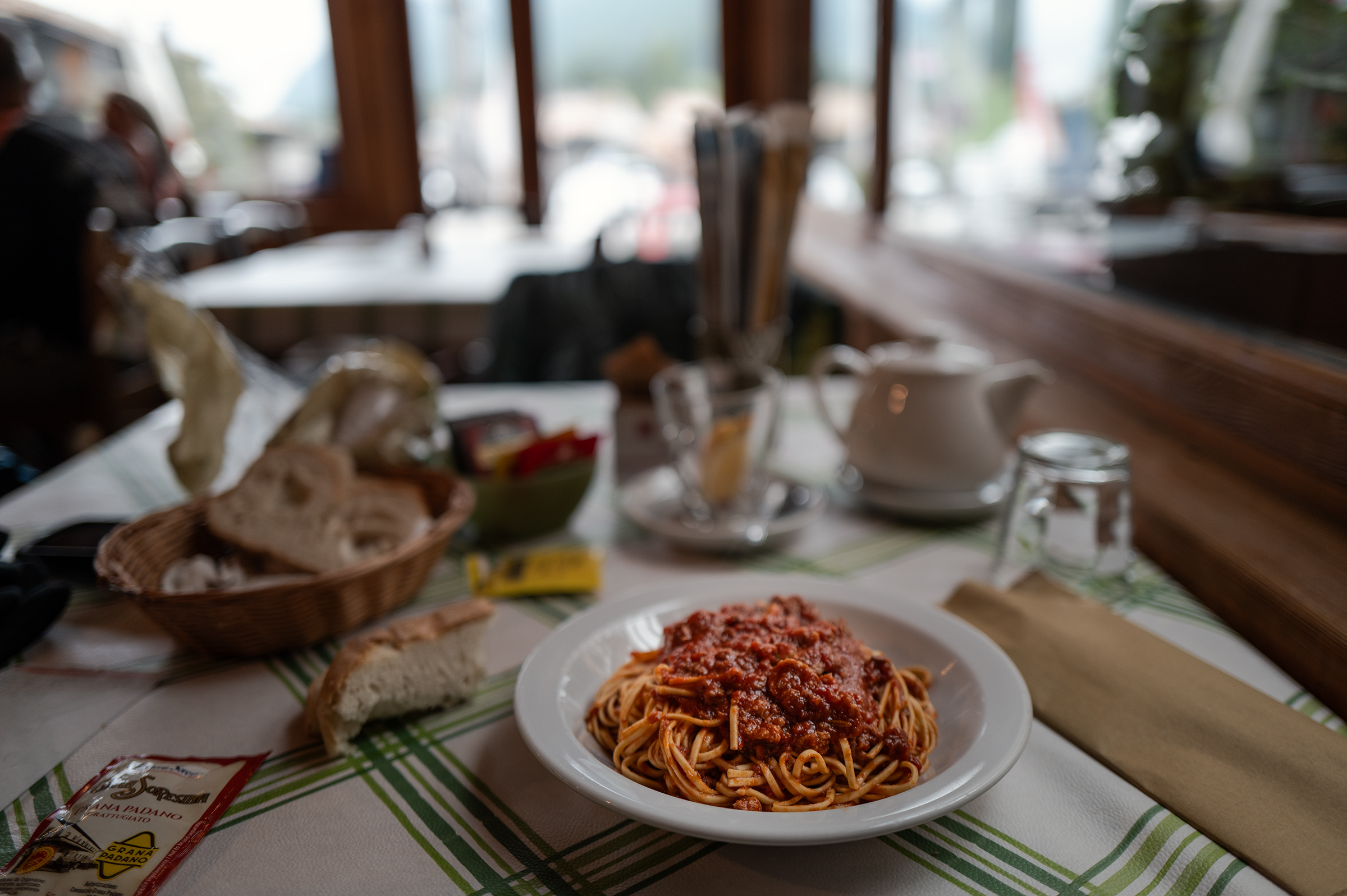
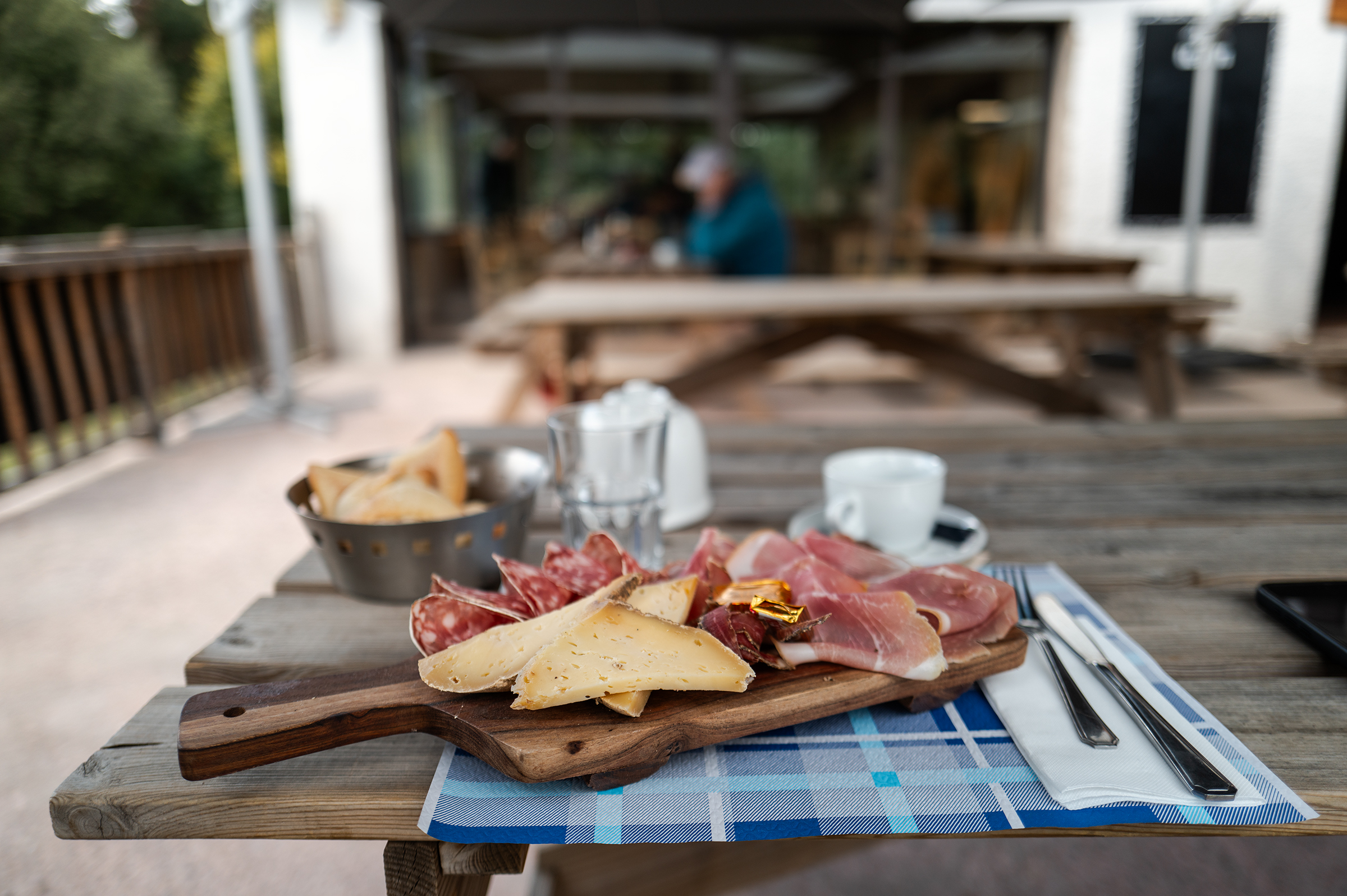
A warm meal softened the blow: some sort of minestrone soup and boiled meat with carrots. There, I met another cyclist, named Paul, who was doing a 3-day event called “the pilgrimage”. One of those gravel adventure events that you should only do with a mountain bike… he seemed completely broken and kept saying: “never again.”
It reminded me of how much I suffered on the Basajaun in 2023, and why this time I was riding a bike with suspension and 2.1 tyres. I enjoy things “broken on purpose” and being a little underbiked for an adventure, but I think those ultra events are often pushing it too far. I never want my trip in two words to be “never again.”
Paul and I discussed nutrition — a common topic of conversation for these types of adventures. He had packed with him powder and gels for three days. I was going for the opposite approach this time: only eating regular food. In past adventures, the extra sugar seemed to cause water retention in my legs,making my ultras harder. So I opted to only eat what I normally eat on a regular day, just in larger quantities. Also, at night I would raise my legs for about 20 minutes. The result was normal legs, even after a week of cycling — a success.
And so my trip became marked not just by exercise but by lots and lots of French and Italian delicacies, namely pasta and bread.
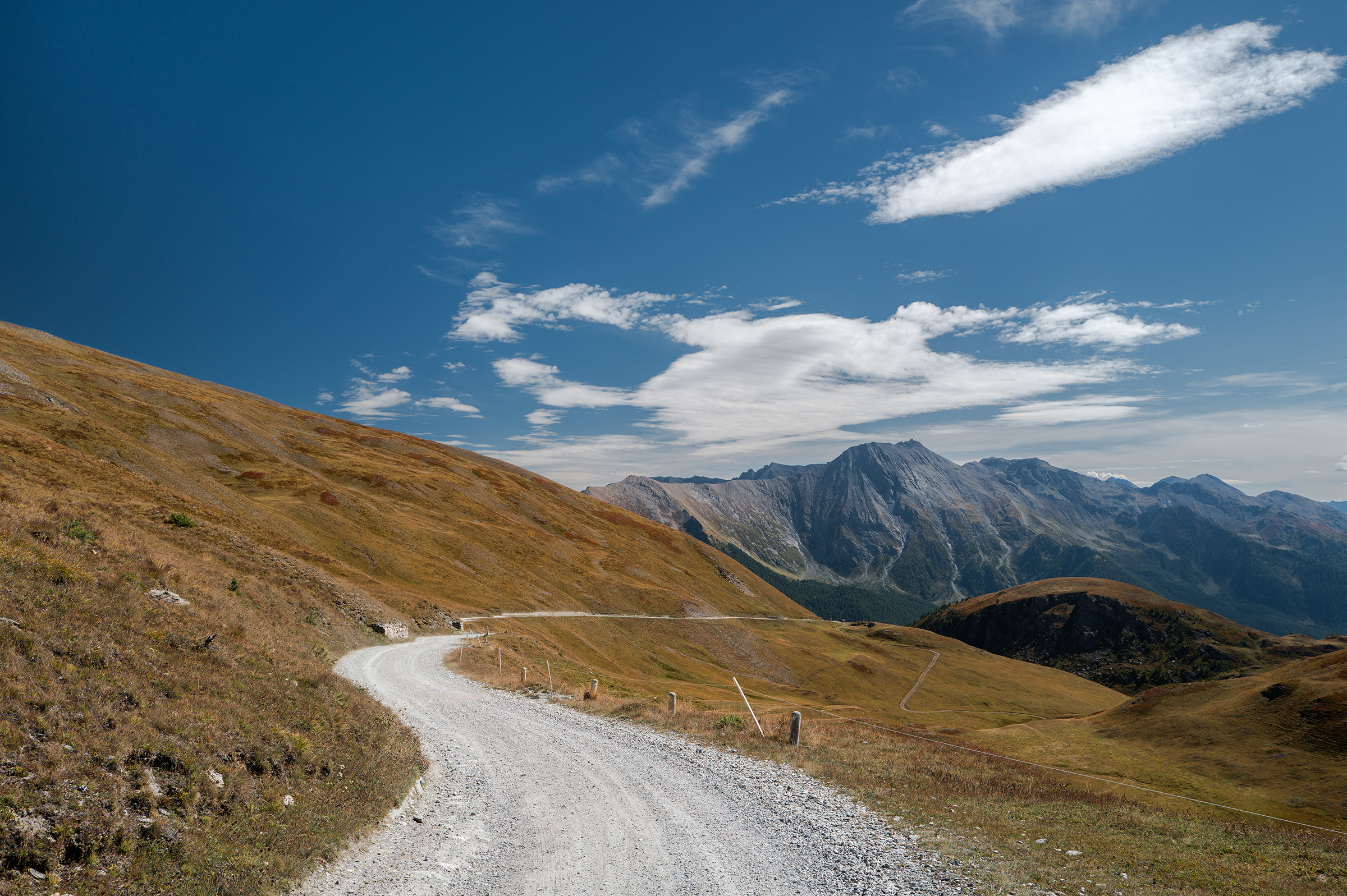
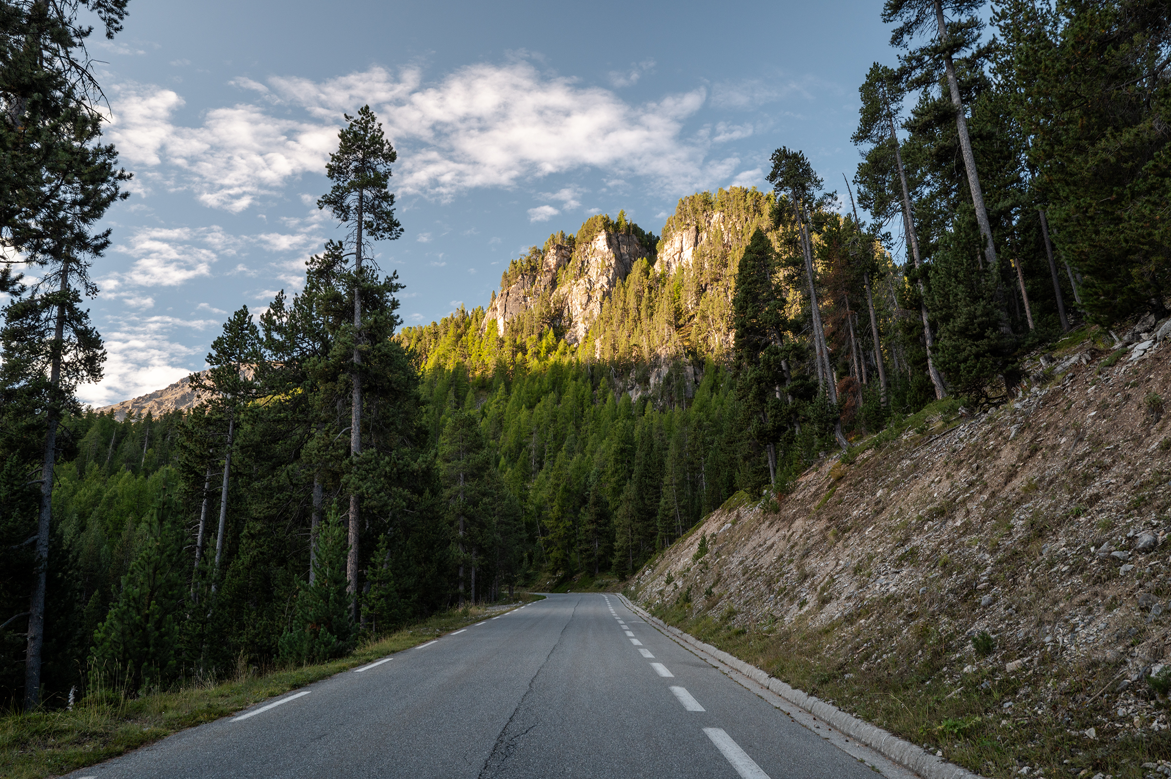
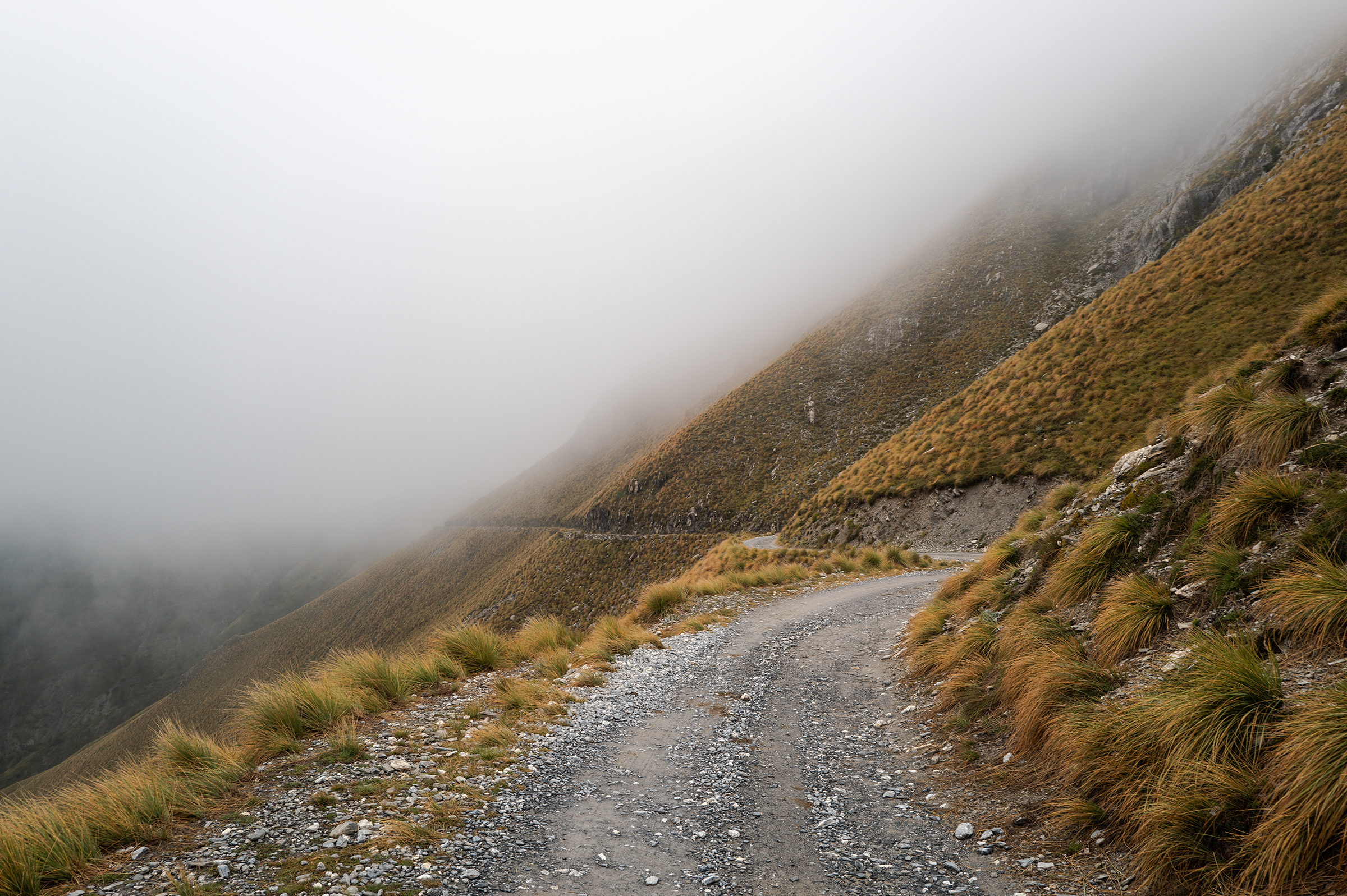
Day 2 Susa to Briançon via Colle delle Finestra, Strada dell’Assietta, Col du Montgenevre
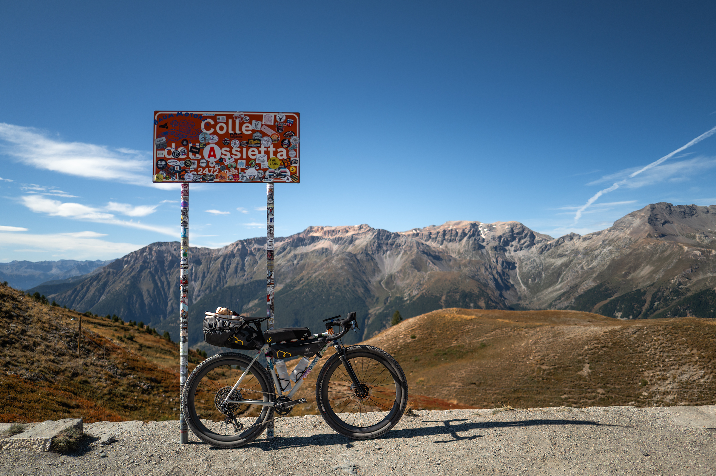
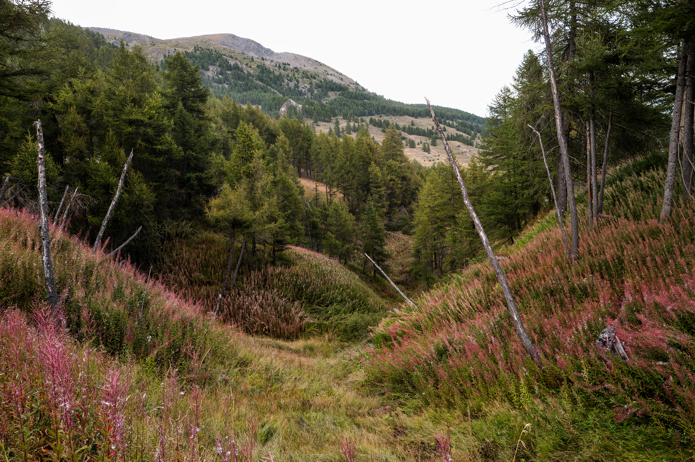
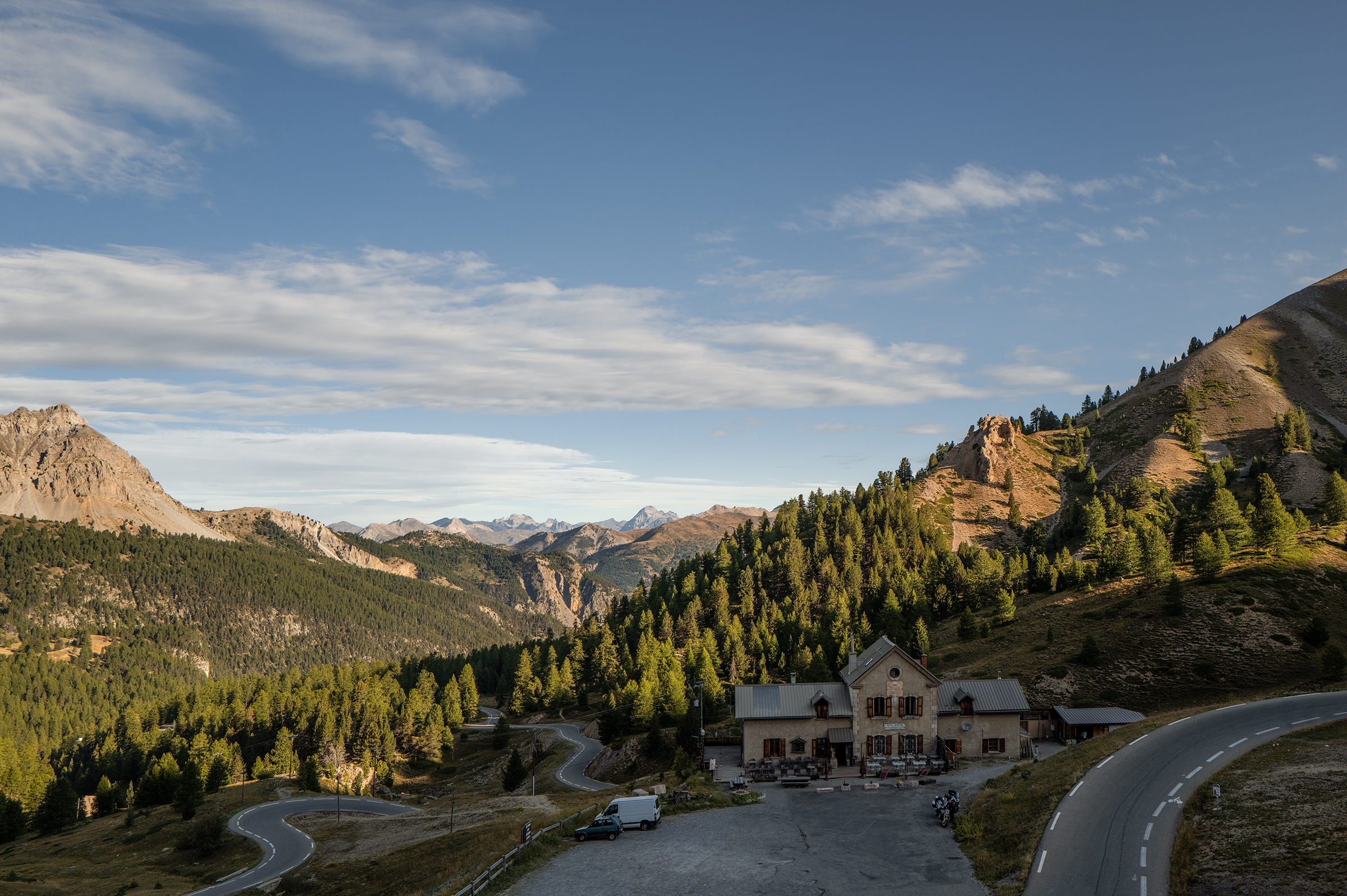
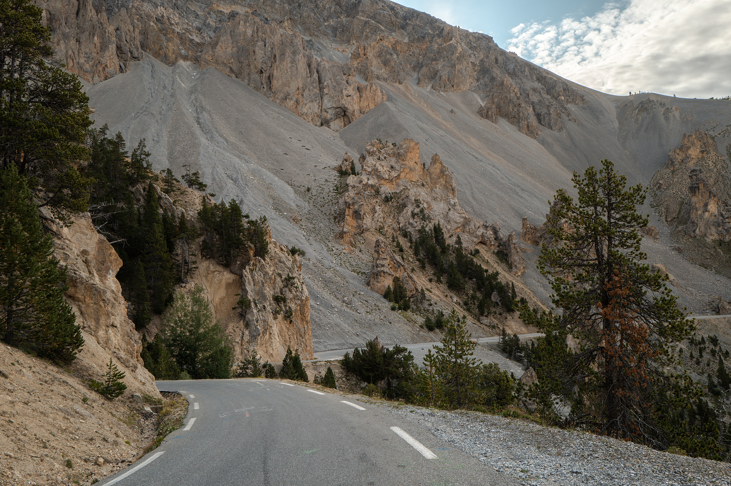
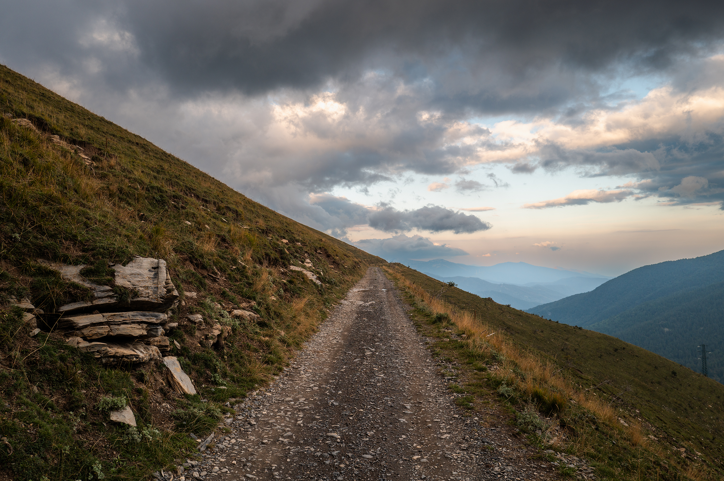
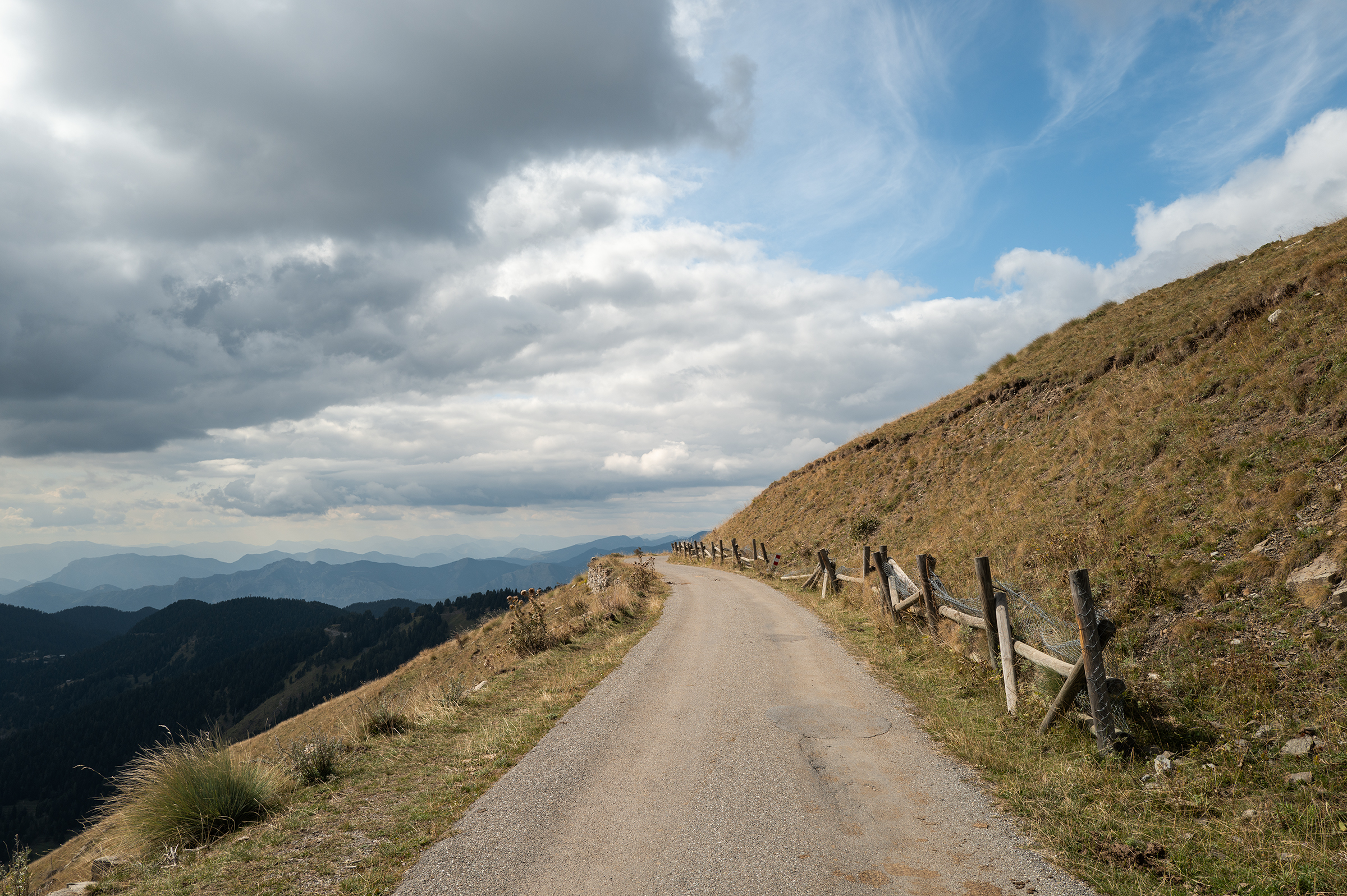
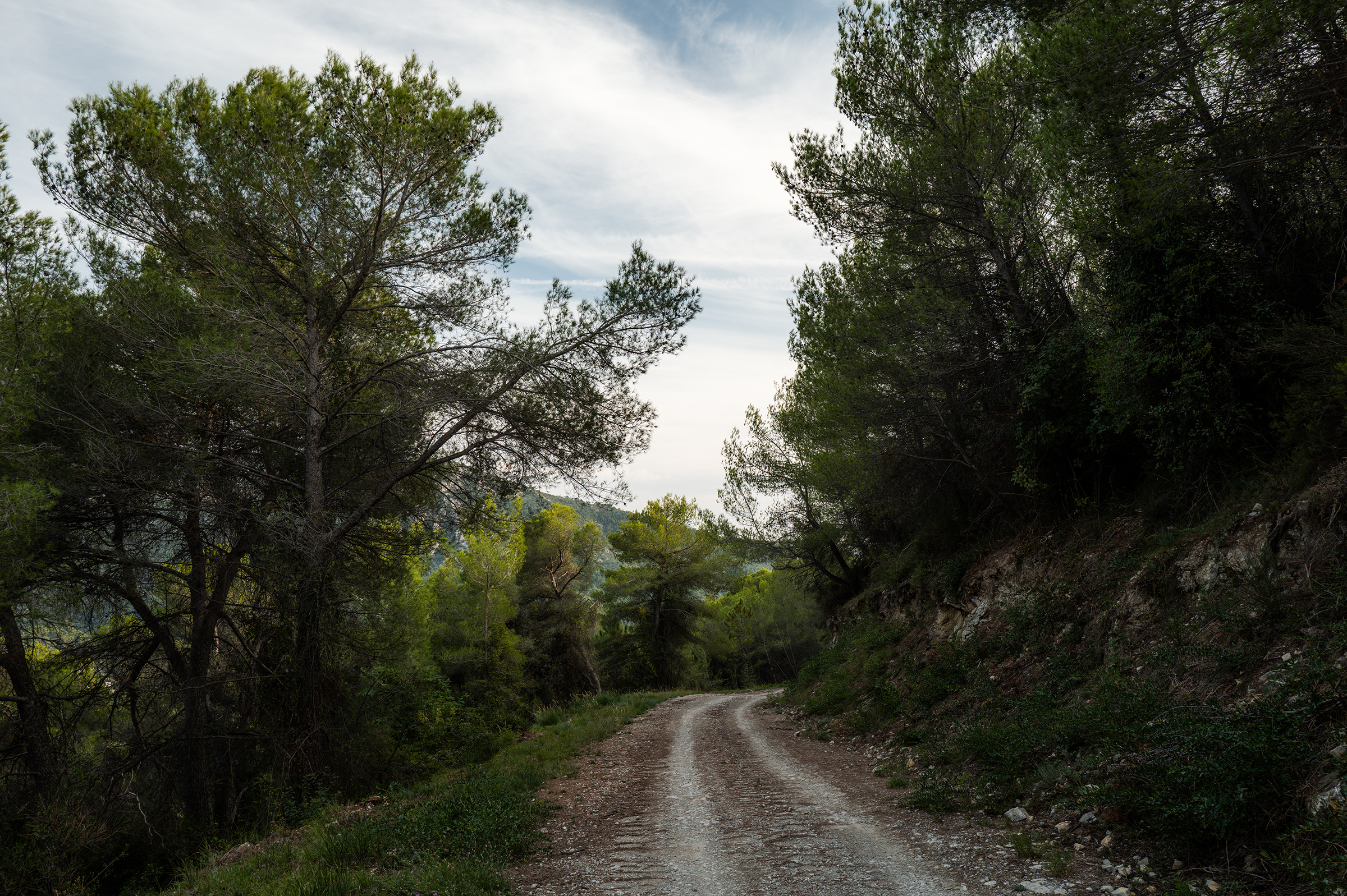
With 3,300m of elevation and my first trails of the trip, we were in business. I had missed gravel at altitude. The day started with a 2,000m climb. It took me all morning but I was rewarded with a great lunch at the Rifugio Casa Assietta. I ordered a plate of rice with ragu. It took two hands for the Italian man running the refuge to bring it to me, calling “Garçon, c’est prêt !” This was the way — enough rice to keep me the going the whole afternoon.


More gravel was waiting on my way to Colle dell’Assietta, but so too were an insane number of motorbikes on the trails — and therefore dust in the face. Is it not enough for them to break the silence of the mountains on the road?

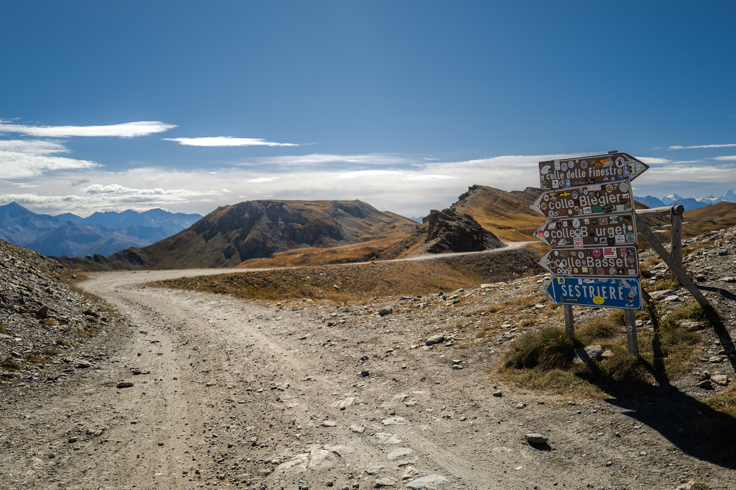


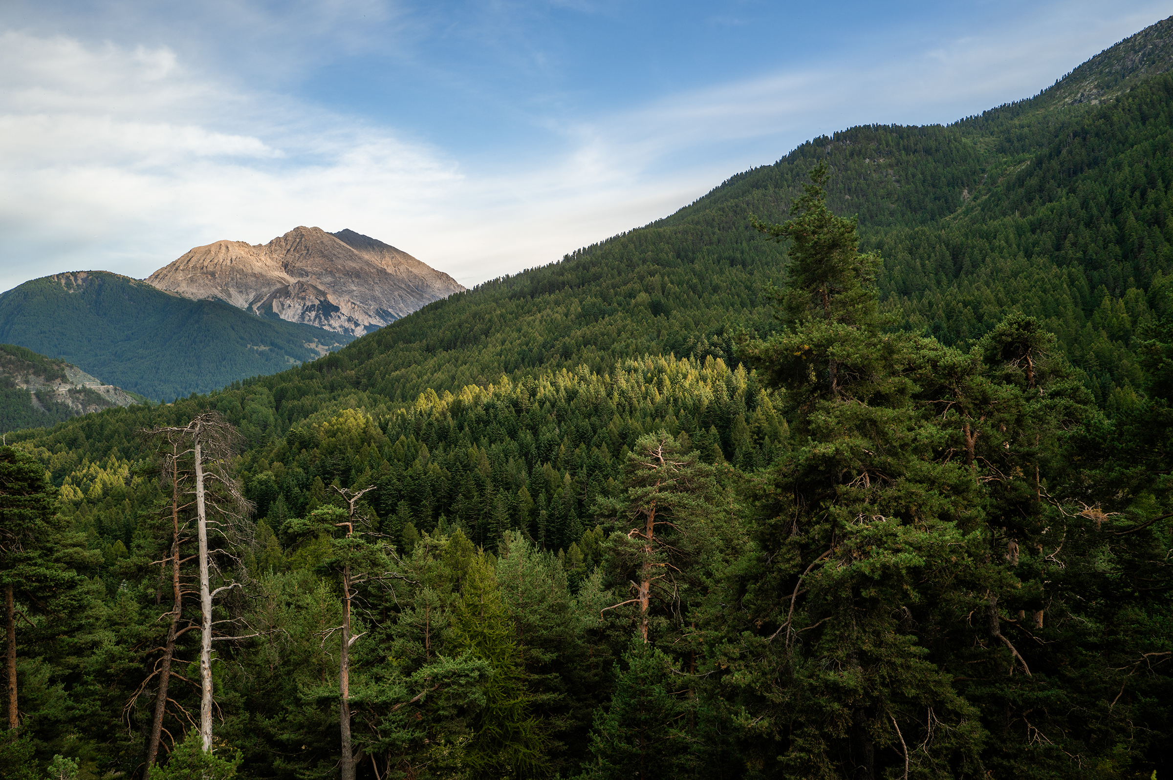
After the gravel descent was the last climb of the day to head back into France: the Montgenevre climb. Montgenevre is a town at the border between France and Italy, and a place I’m curious to see again in the winter.
I then descended to Briançon, grabbed some groceries at a local Carrefour, and ate in my hotel room. By 10pm, I was in bed — I needed to recover for what was going to be a very long ride the next day.
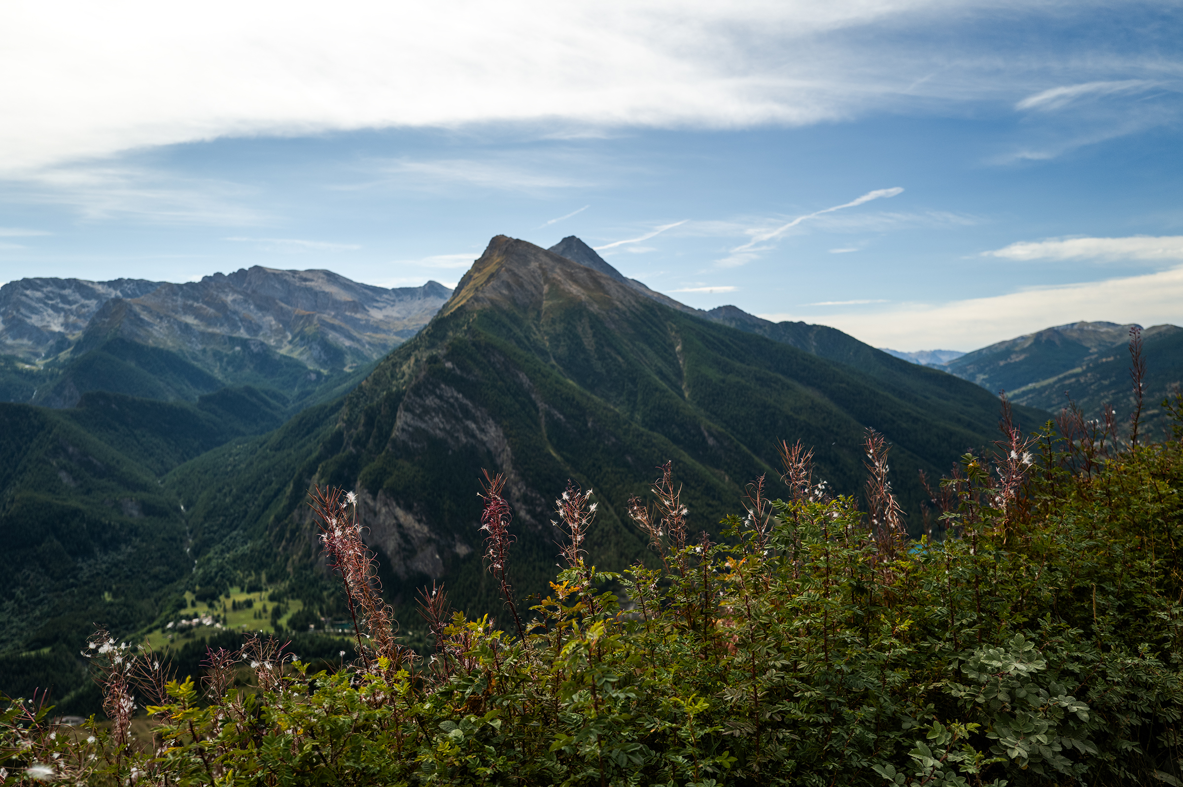
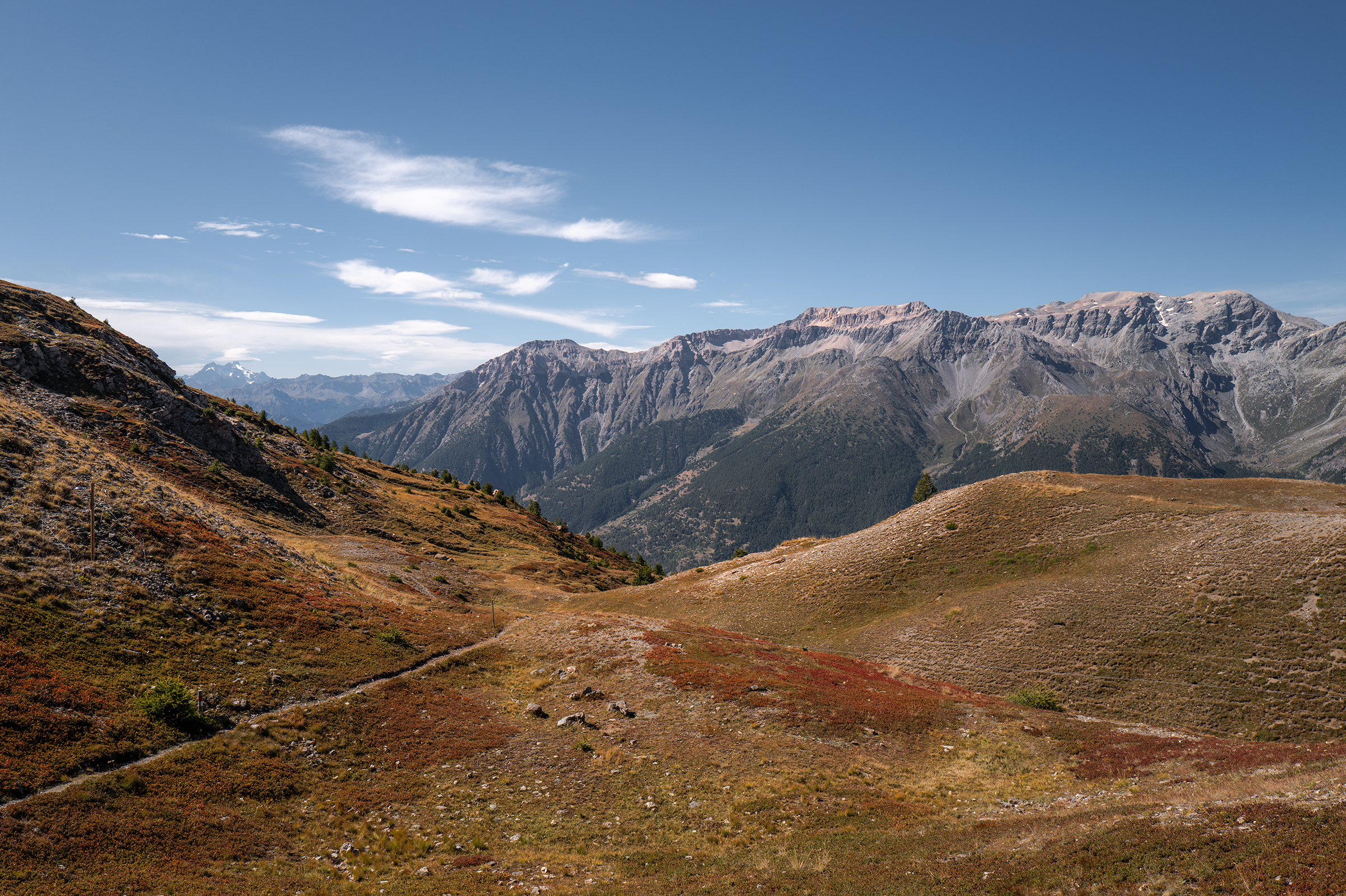
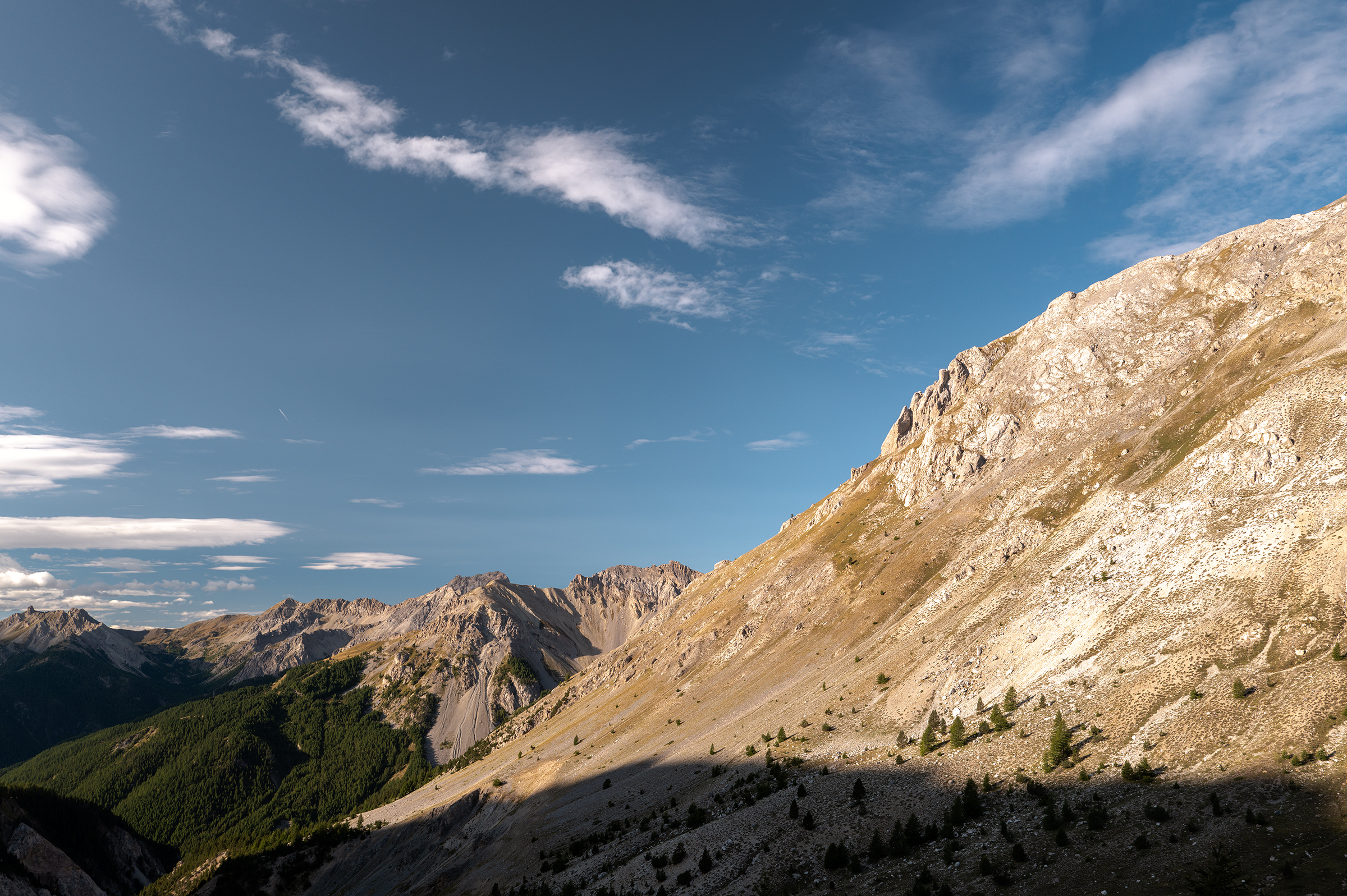
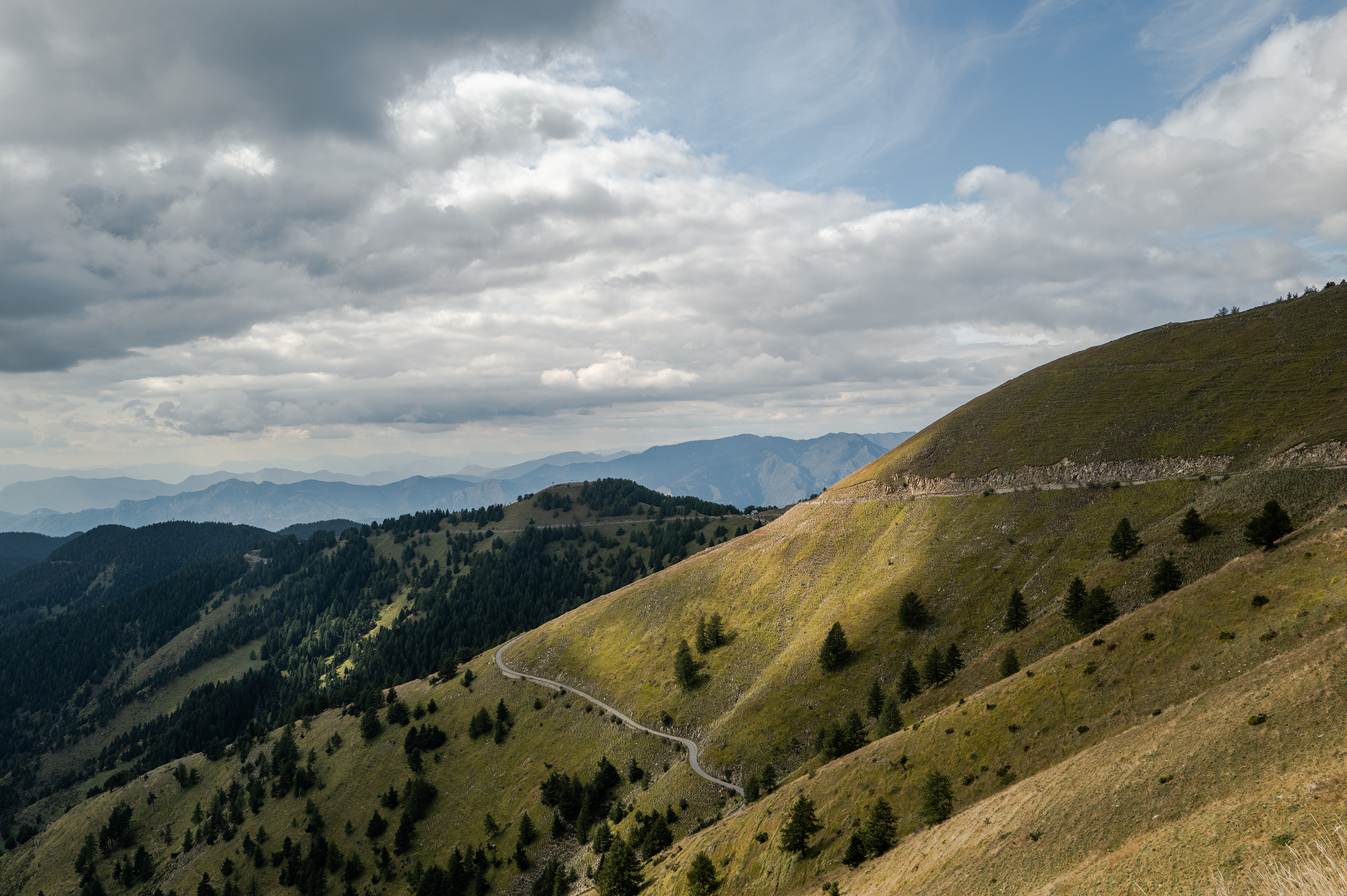
Day 3: Col d’Izoard, Col d’Agnel, Col Sampeyre
5:34am, I wake up without an alarm and decide to start the day. The brain is cool like that. 4,000m of climbing on the menu, I had to be out early. Breakfast and I went.
While my Garmin was showing 3 dark triangles to indicate the climbs, it was all on the road and just a matter of pacing myself. In fact, that’s what those ultras are mostly: an exercise in restraint. By the end of the trip, my average heart rate was only 115 bpm.
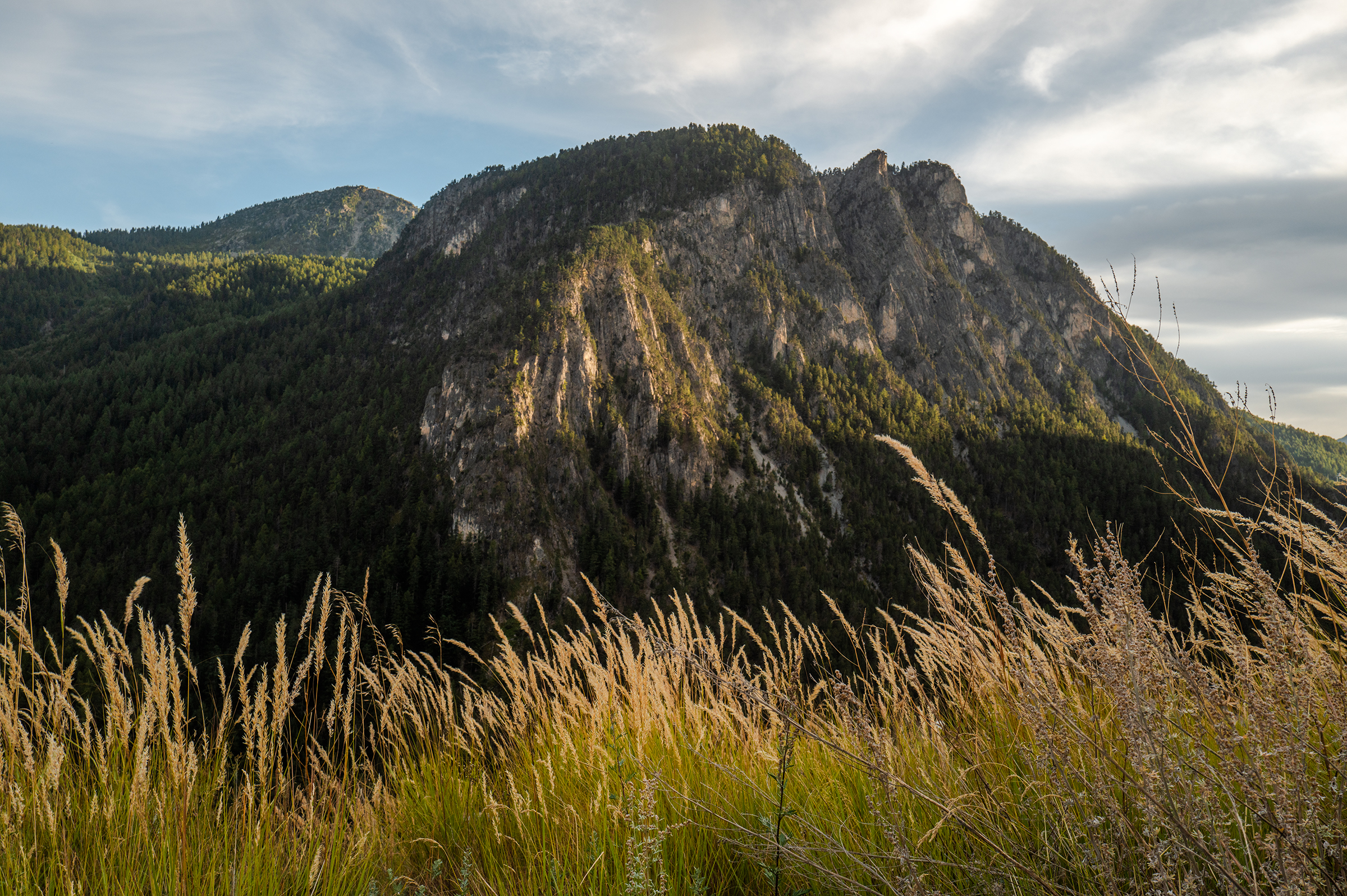
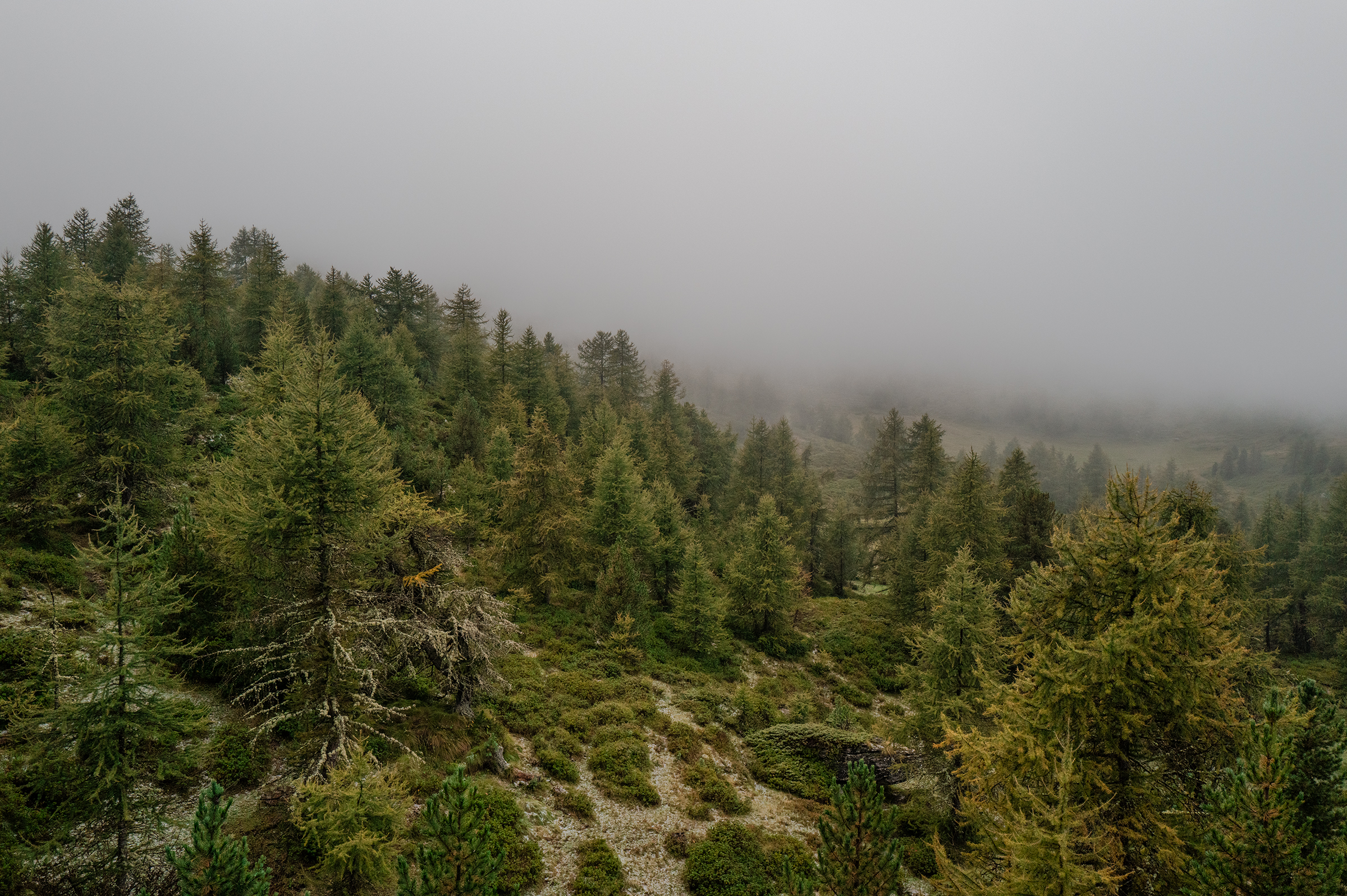
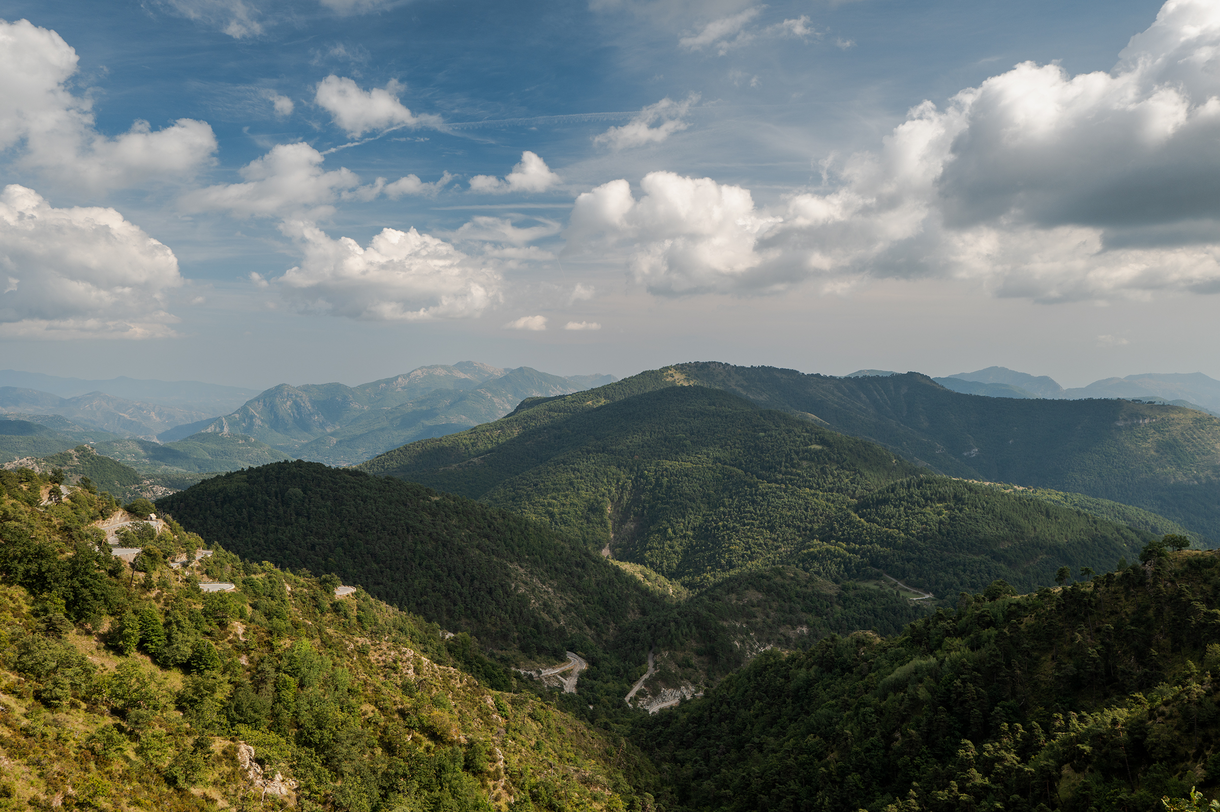
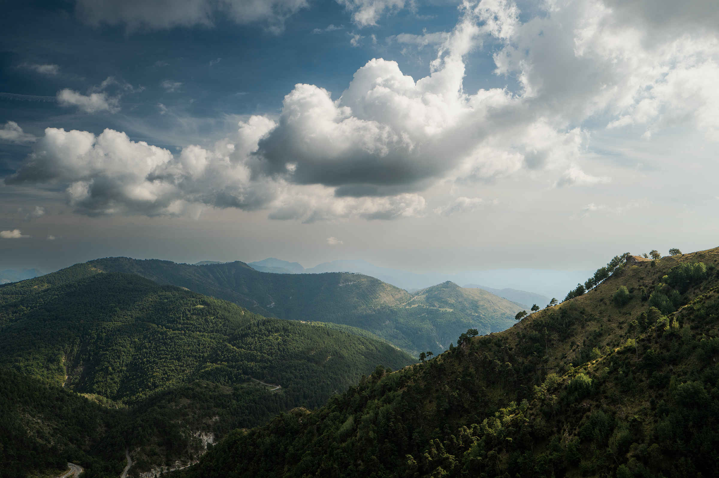
That morning going up in the “Foret Communiale des Cevieres” was beautiful — a typical alpine climb. By 9:30am, I was at the Cold d’Izoard which would lead me to an even more beautiful valley with stunning rock formations.


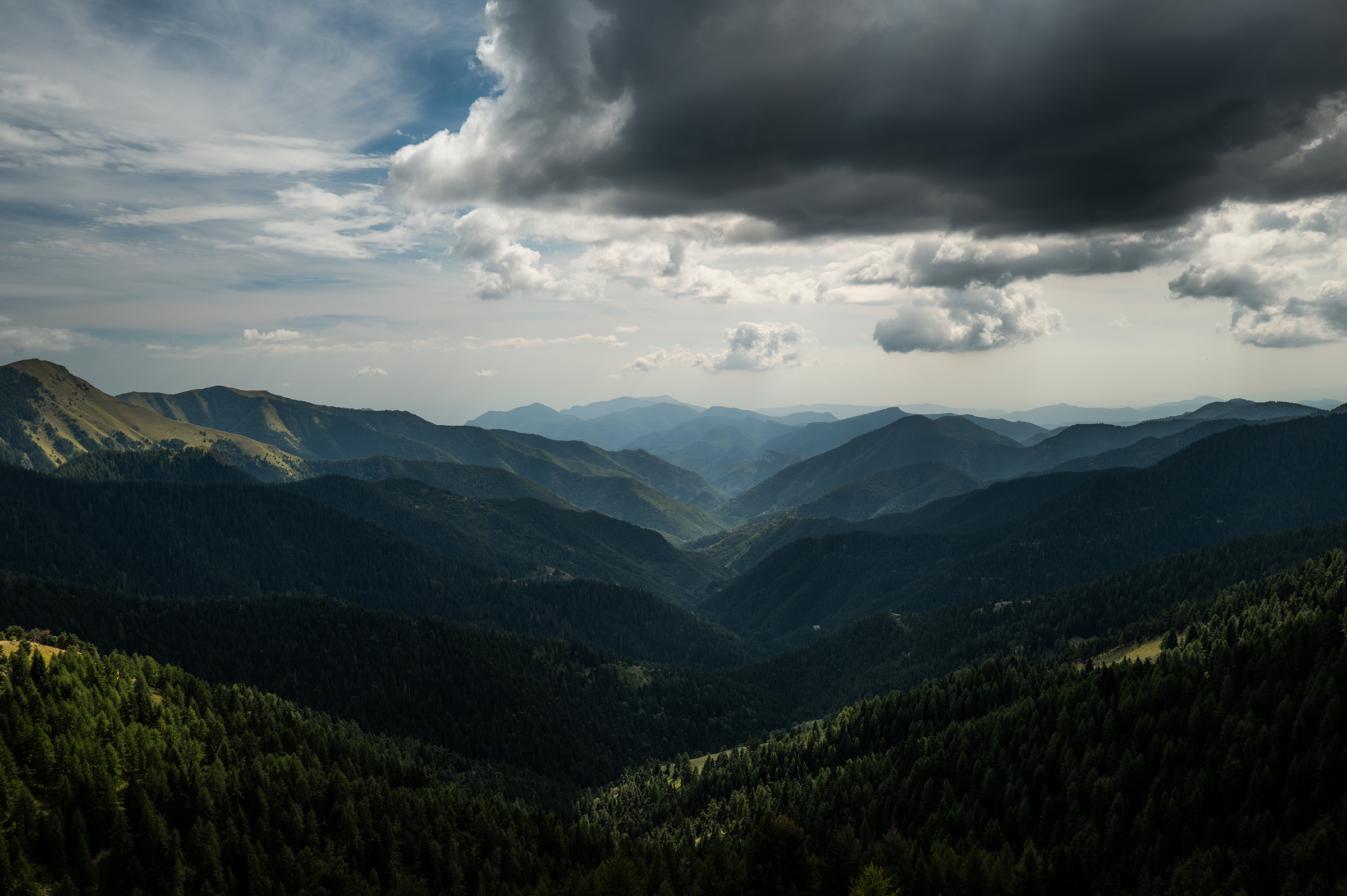
Later in the morning, the weather started to turn. One part of the sky was clear (French side) while the other was dark and threatening (Italian side). I was, as you would expect, going into Italy, climbing up to Col d’Agnel. Not only did the sun disappear but I started seeing some snow. I only stayed a few minutes up at 2,700m, added layers and gloves and started descending. At lower elevation, it was pouring down rain.
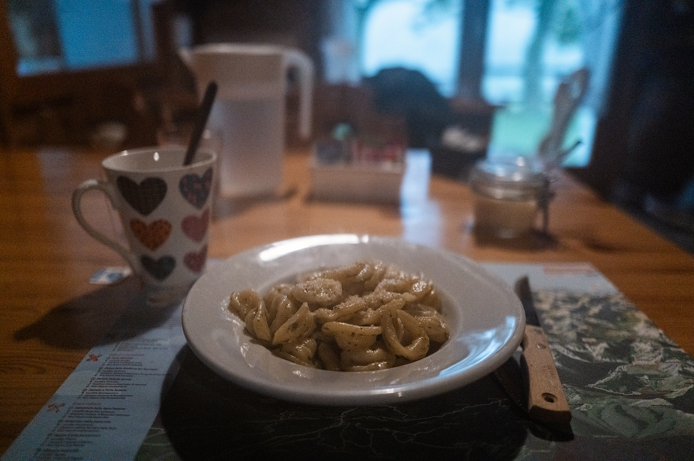
At the next village, I saw from a distance a sign that said “pasta” (and probably other things but it’s what stuck). I went straight there, dropped my bike, walked into the restaurant, and ordered a bolognese, which made me completely forget I was soaking wet. In my world, there’s nothing like pasta. Not even bread (I’m French, as a reminder).
Revitalized, I went down to Sampeyre, and… up to the Sampeyre pass. I didn’t see anyone else during the ascent — I was the only one doing it in such terrible weather. The only downside of it is that I couldn’t properly see the beautiful valley on the other side. I will have to go back, I guess?


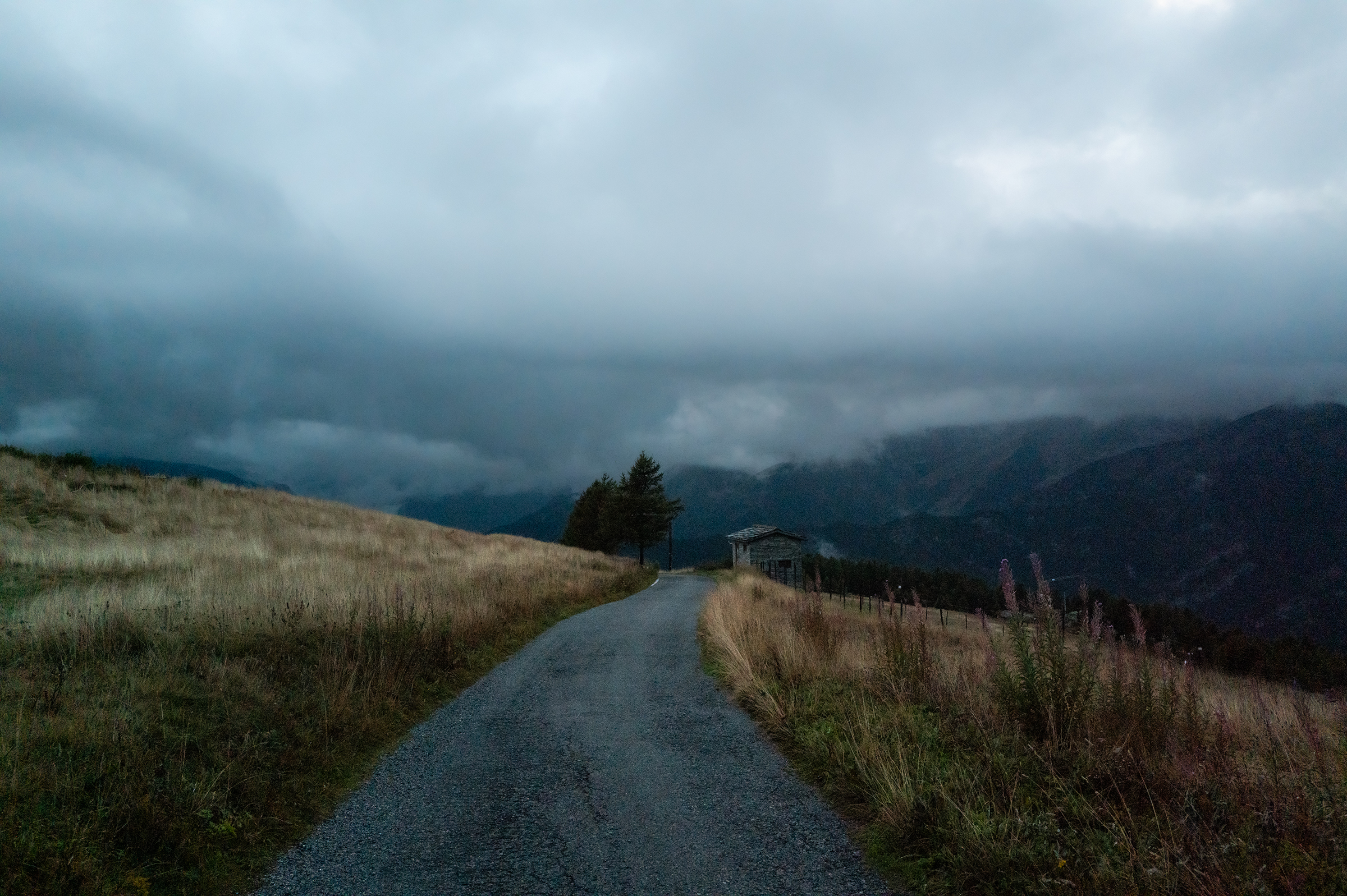
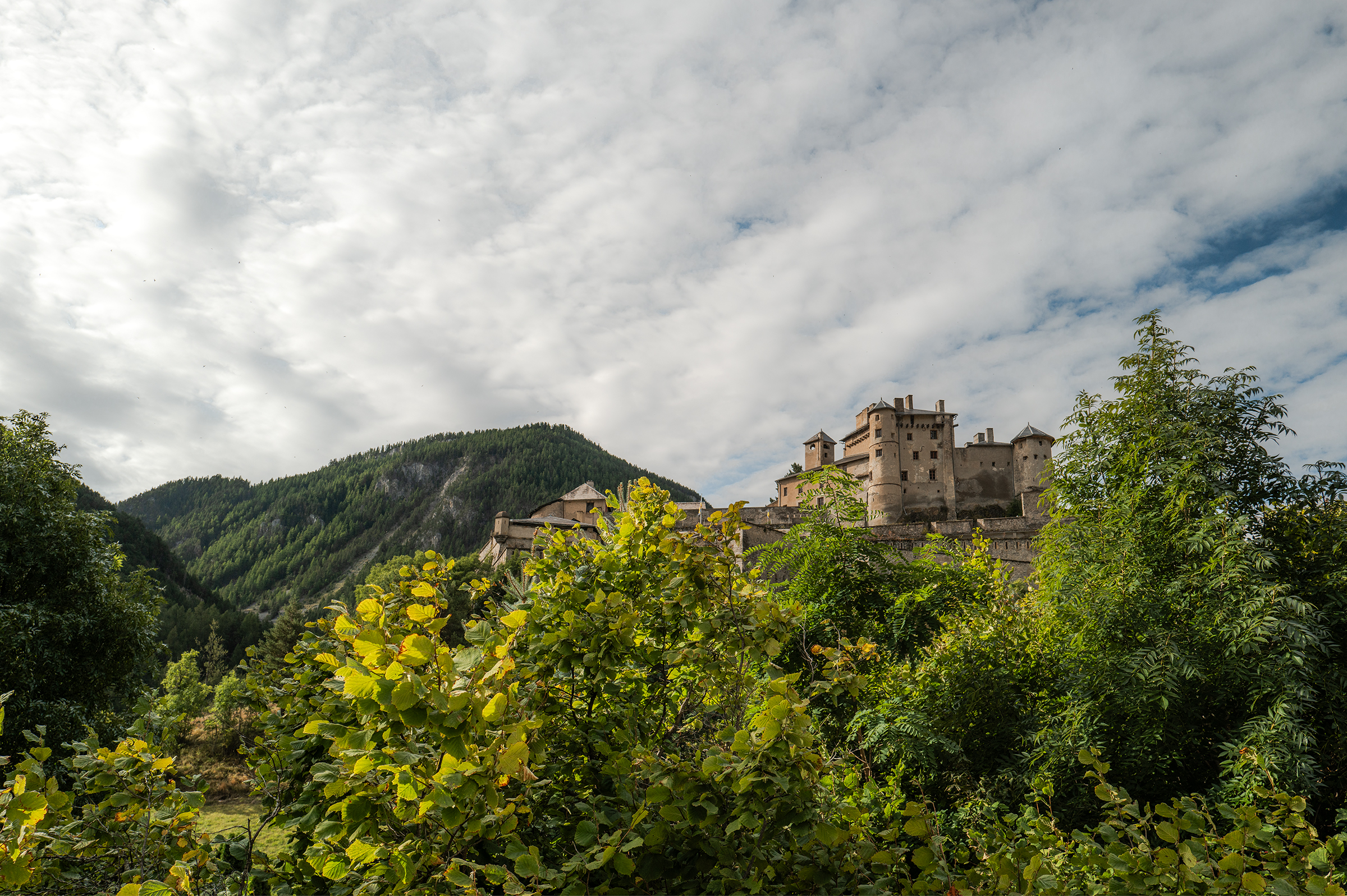
7:45pm, or about 13.5h after I left Briançon, I made it to what will be my favorite hotel of the trip: Lou Subric — a small family hotel located before Stroppo, at 1,500m of elevation. Sonia, the owner, was the kindest host accommodating for my every need (especially my gargantuan appetite), and the local produce used by the chef made for an incredible dinner. If you’re into hiking, some guests I met told me it was worth spending a whole week there just to explore the local trails.
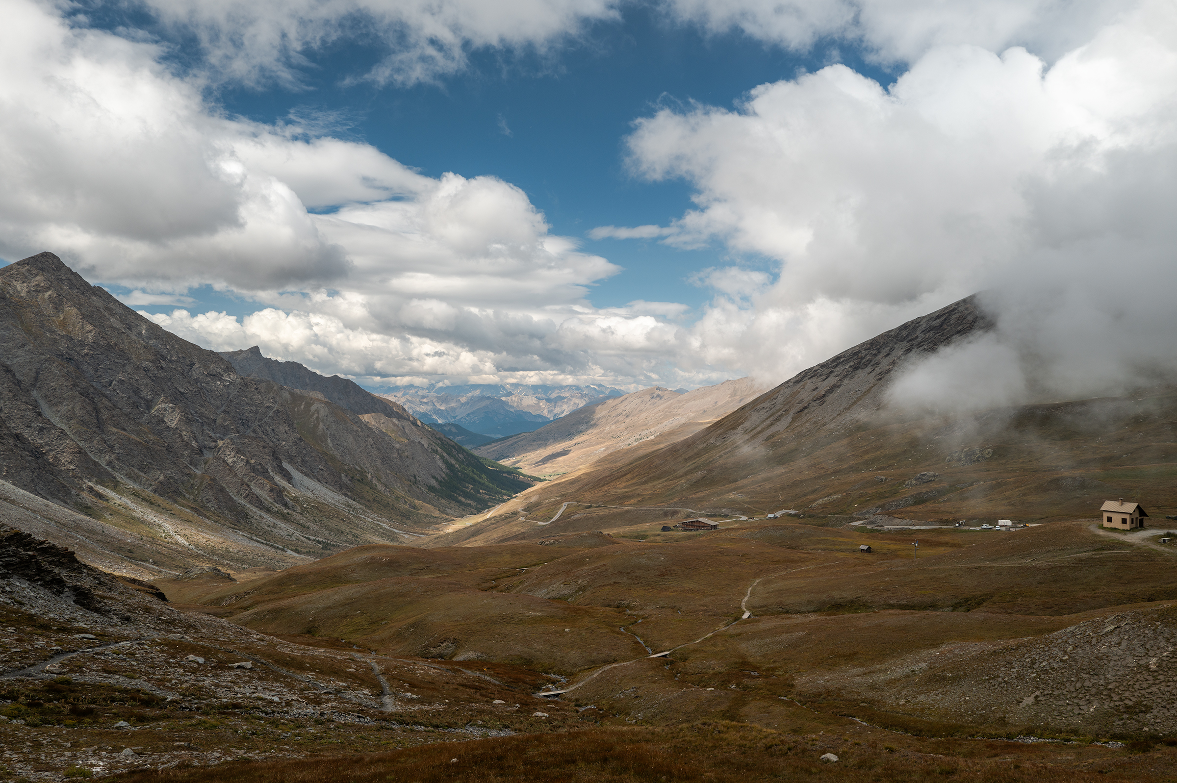
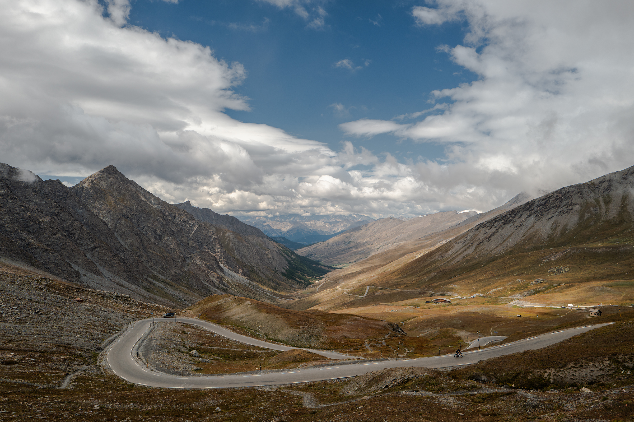
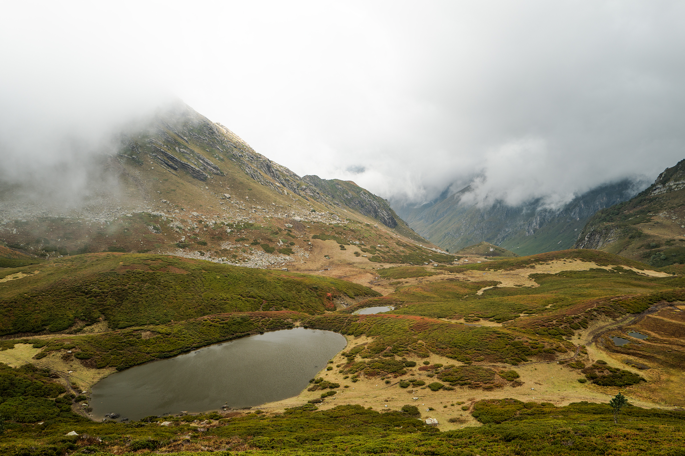
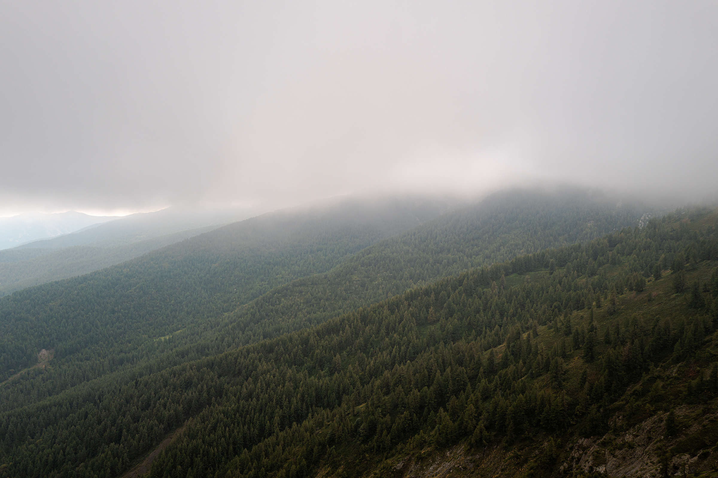
Day 4: Altipiano Gardetta
The forecasts were hesitant on that day, though I knew I wouldn’t see the sun. I left Lou Subric after a delicious breakfast and Sonia wished for me to see at least some of the Altipiano Gardetta.
Within minutes unfortunately, it was raining, all the way down to Sampeyre. With “only” 2,300m of elevation and 100km, I imagined that day to be easy. I couldn’t have been more wrong.


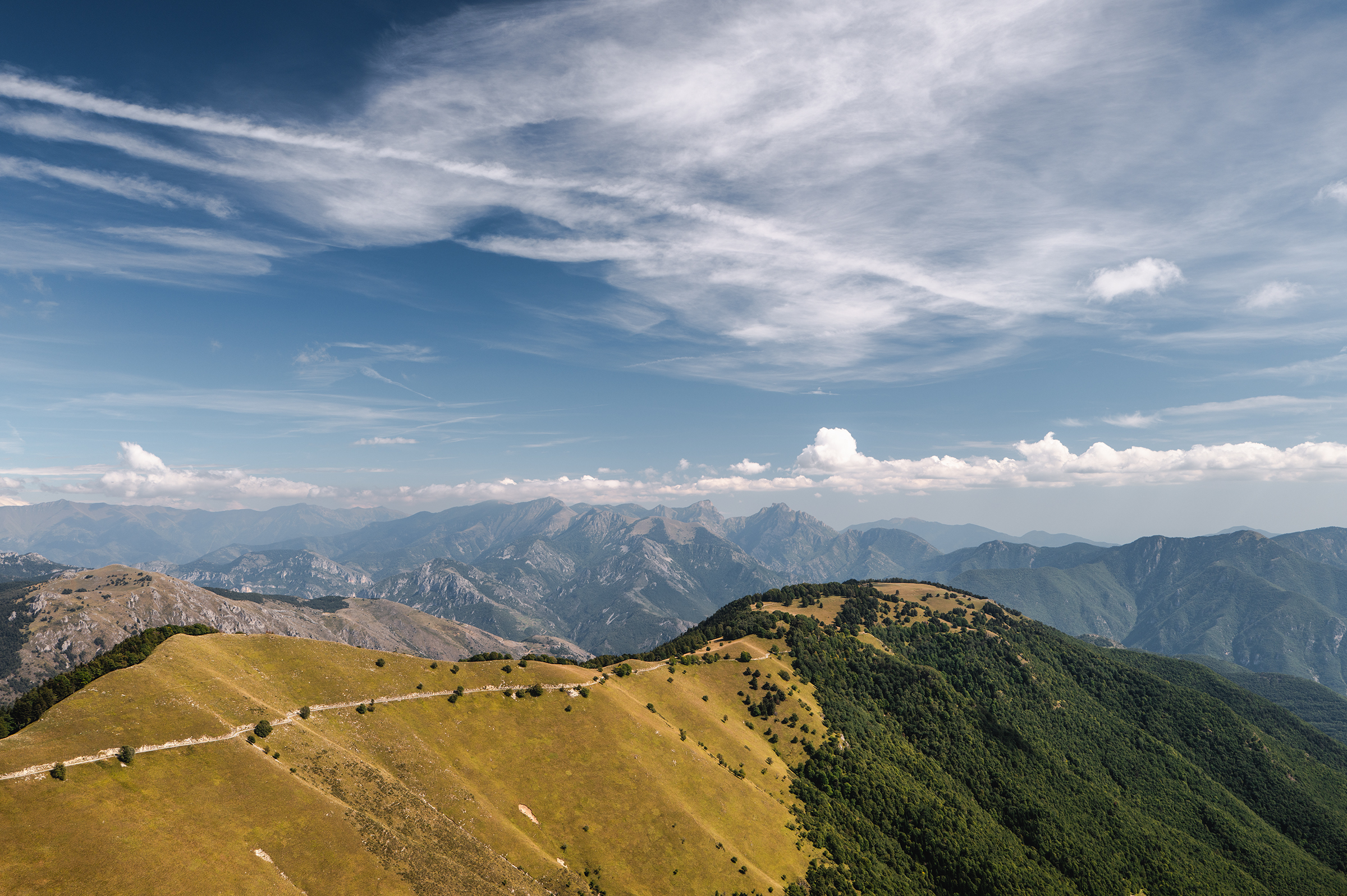
Wet to the bone, I was making slow progress on my way to the Altipiano Gardetta (Google it; it’s supposed to be absolutely incredible). To make it through, I started telling myself: “somos agua” — an expression cyclist and YouTuber Ibon Zugasti repeats over and over to say that a little bit of rain won’t do much to us, since we’re mostly water ourselves. I used to hate cycling in the rain, but not so much anymore. I guess my huge tyres also provided the confidence I needed to go down mountains in the wet.

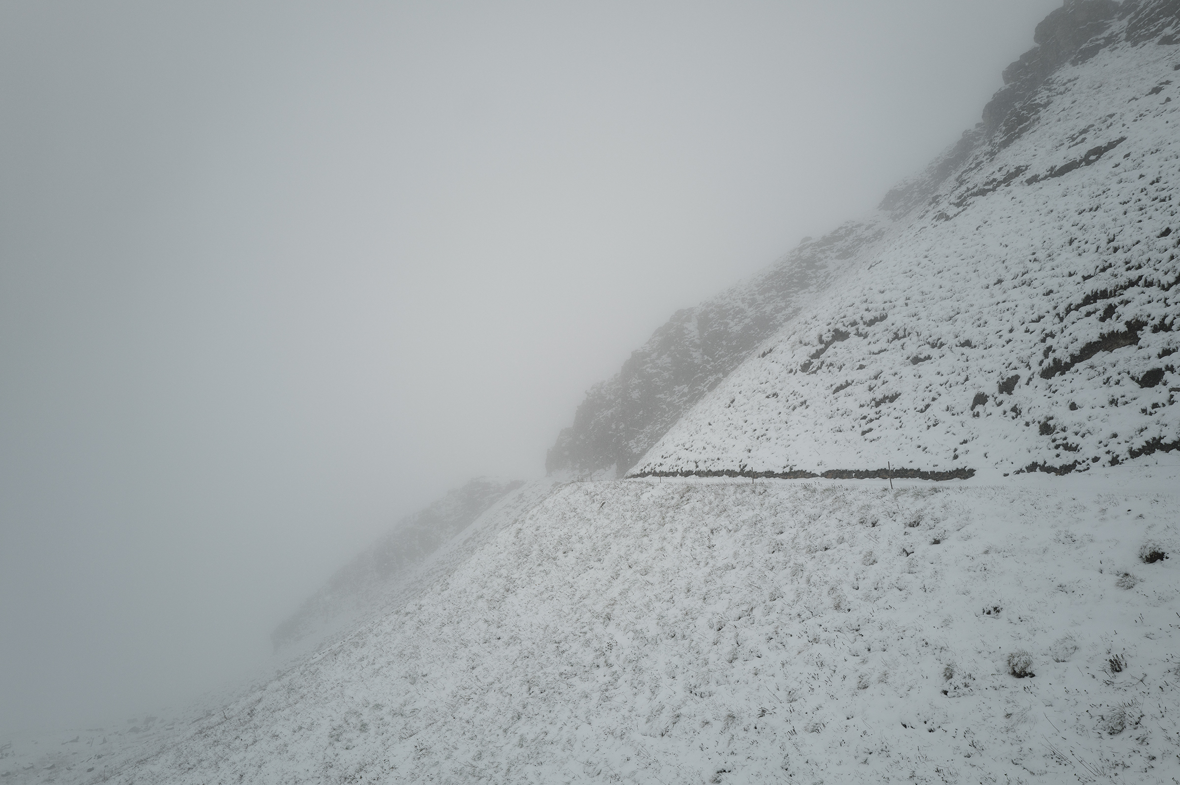
As you would guess, with more elevation, rain turned into snow. Signal went off after a few kilometers on the altipiano and the snow became thicker and thicker, to probably 30 cm at the top. Have you ever hiked your bike in deep snow? Well, it’s not easy.


At some point, a sign indicated the trail was closed, but I decided that was relative. After so much climbing, there was no way I would stop. So for the next few hours I waited to see the other “closed sign” on the other side, indicating I had made it out
While it was hard, I reminded myself that the mind gives up faster than the body. I was estimating my calories, available food and the amount of time I would need to make it to the beginning of the descent where snow would disappear. According to my math, it was going to work out just fine, and I just had to tell the mind that.
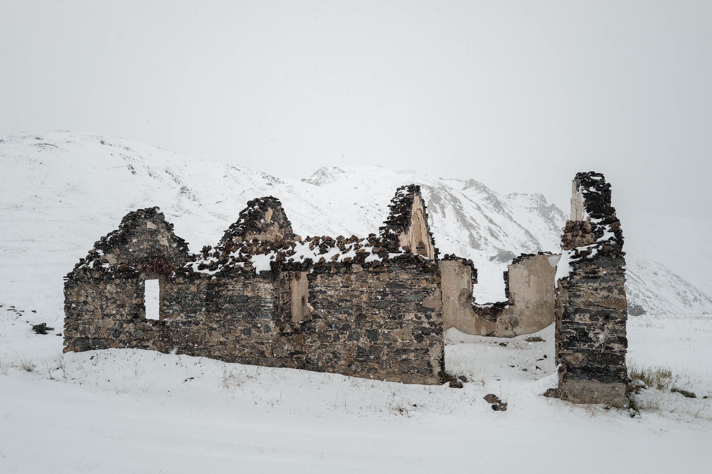
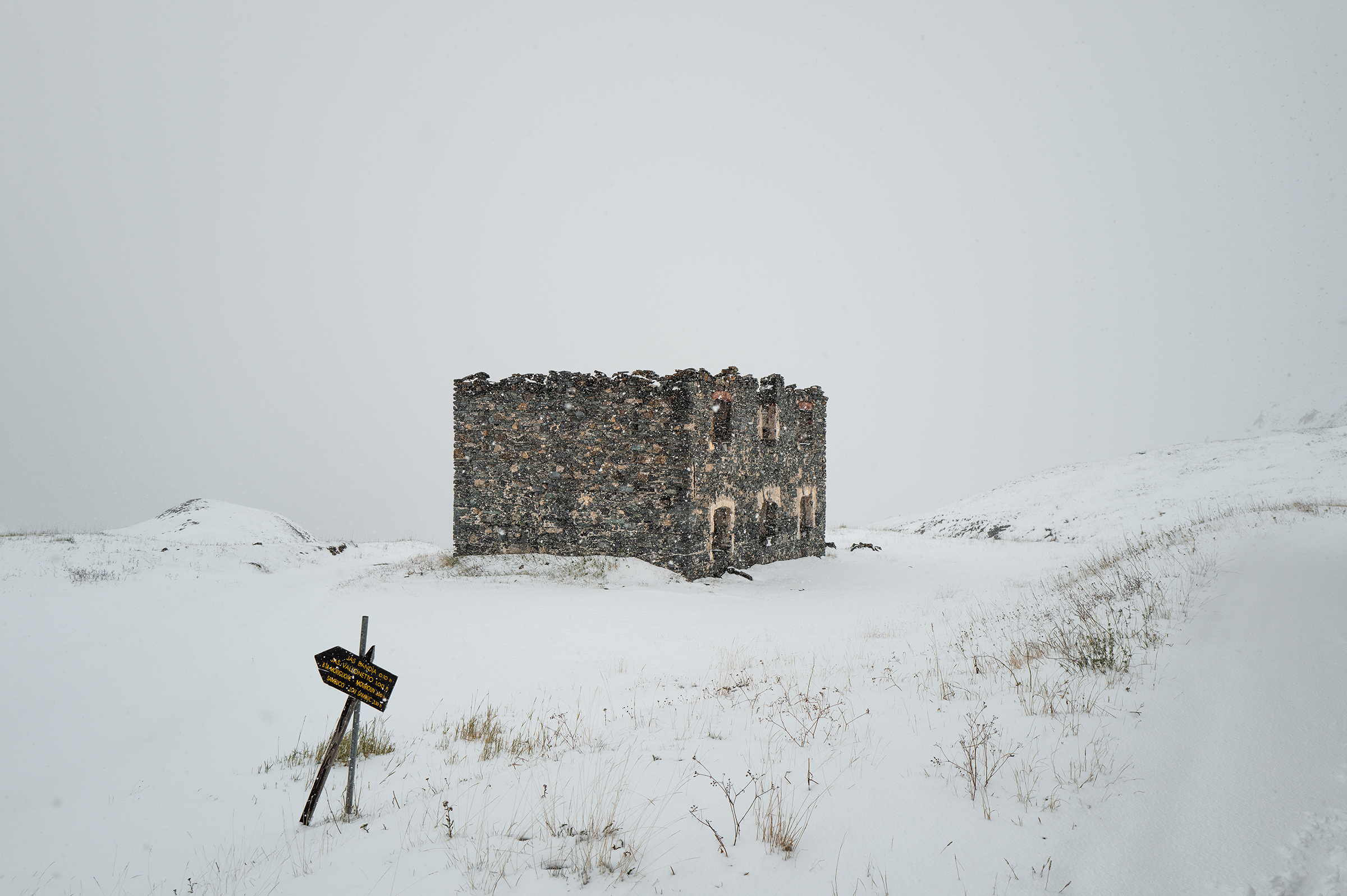
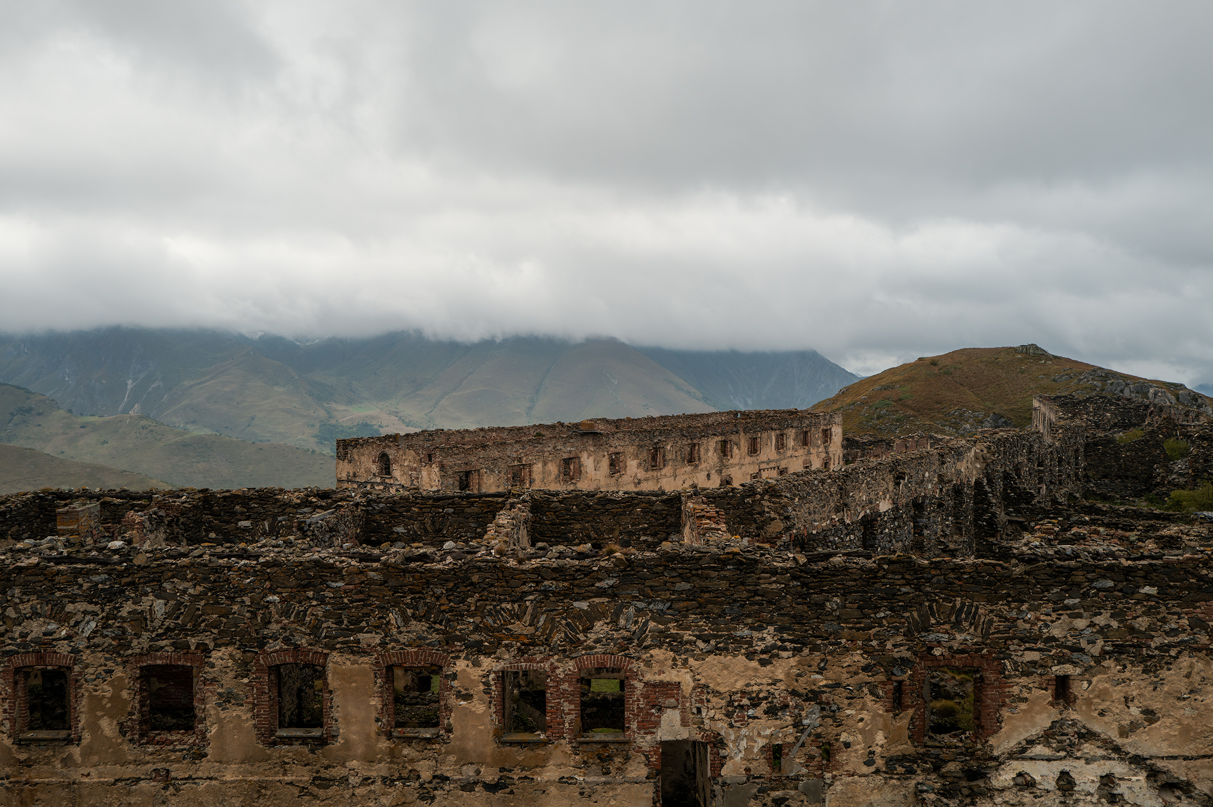
Through the effort, I saw some incredible landscapes — some abandoned buildings in ruin that looked surreal in the white.

As the snow became shallower, I attempted to ride again, sometimes pedaling with both legs, sometimes with just one (using the other as a safeguard to not fall). A skid here, a skid there, the trail reappeared. It was the end of my cyclo-alpinism experience (or so I thought, at least).


Down in the next refuge, which was closing the following day due to the weather conditions, a dad and his son welcomed me. It was 5:30pm and I hadn’t really eaten lunch, so as you would expect, I ordered… pasta! (You’re starting to get me.) From the communal room of the refuge, I overheard the dad telling his kid in Italian: “ha attraversato l’altipiano in bici” — I was the only mad man who would cross it on that day.
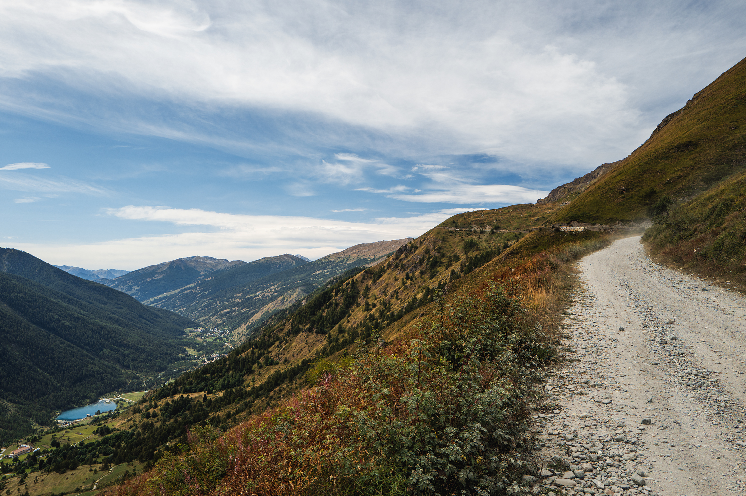
I saluted them and continued the descent towards Limone Piemonte. On the way, I stopped at an “alimentari” shop and asked for a sandwich. An old Italian woman prepared it for me with so much care, I felt I was being treated to a Michelin restaurant. I was fed and happy.
Further down then was Limone Piemonte, a posh town in Italy. I didn’t have the posh look that night, and the receptionist from my hotel made it pretty clear to me after he saw the water dripping from my gloves in the middle of the hallway. I put my passport on his desk and asked: “I have a reservation — is everything ok?” A rhetorical question I knew he’d answer anyway.
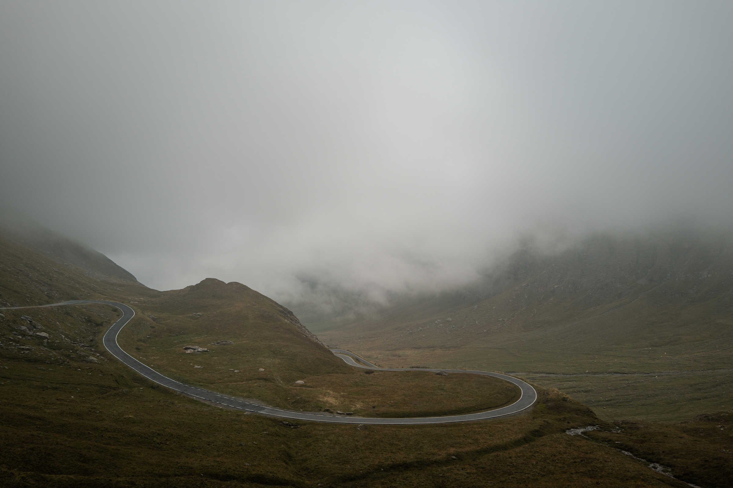
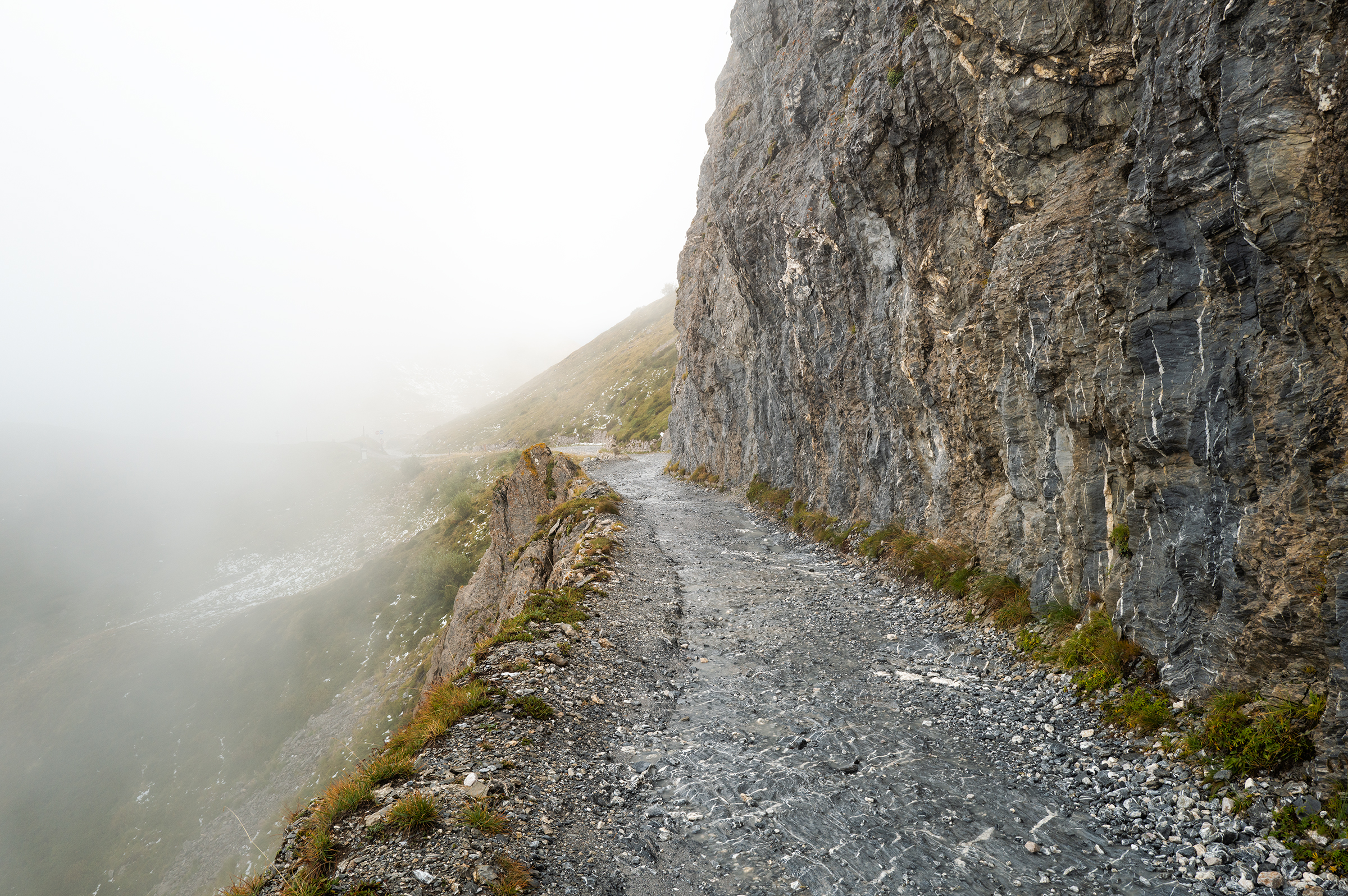
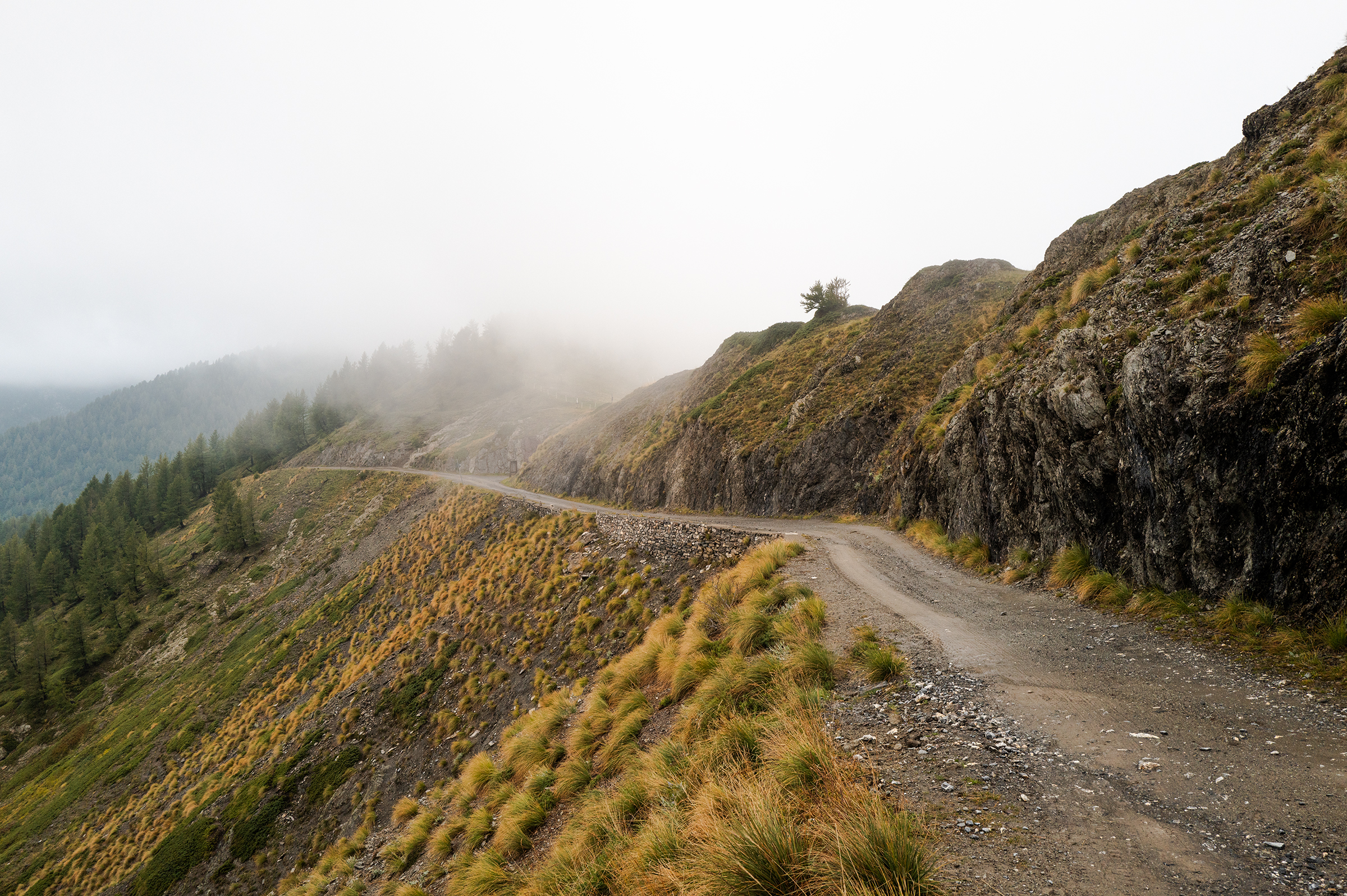
Day 5: The Via del Sale
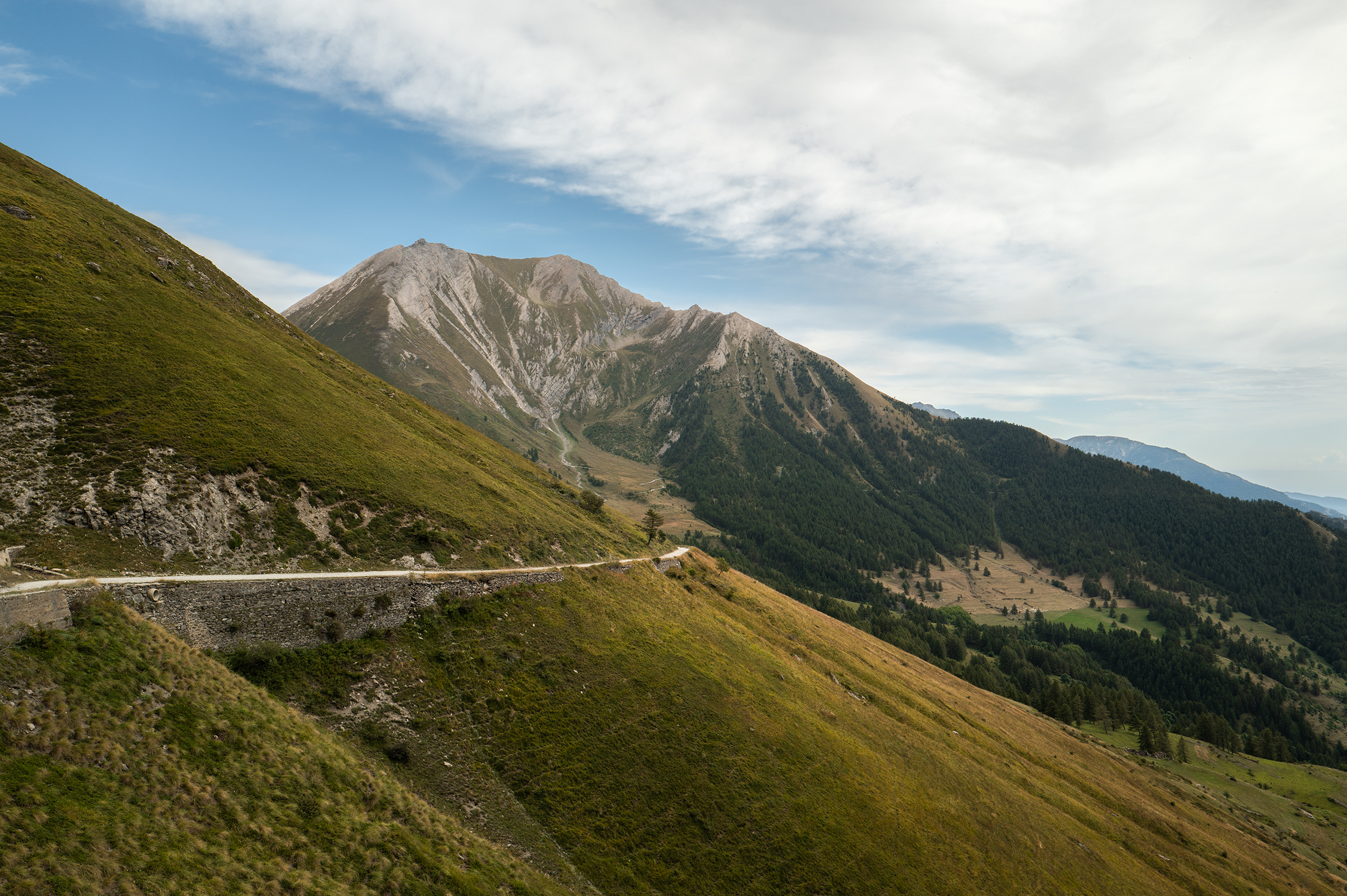
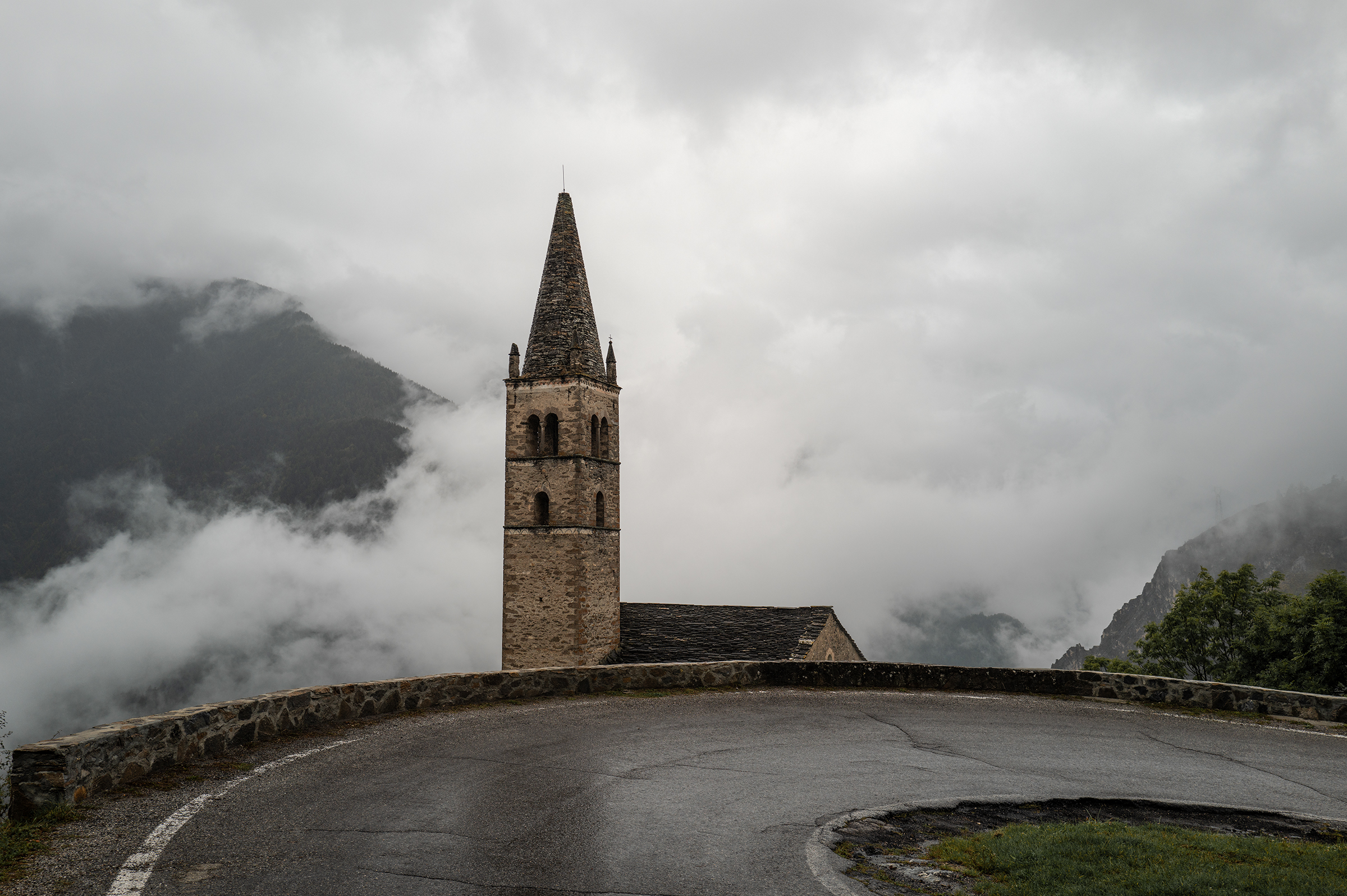
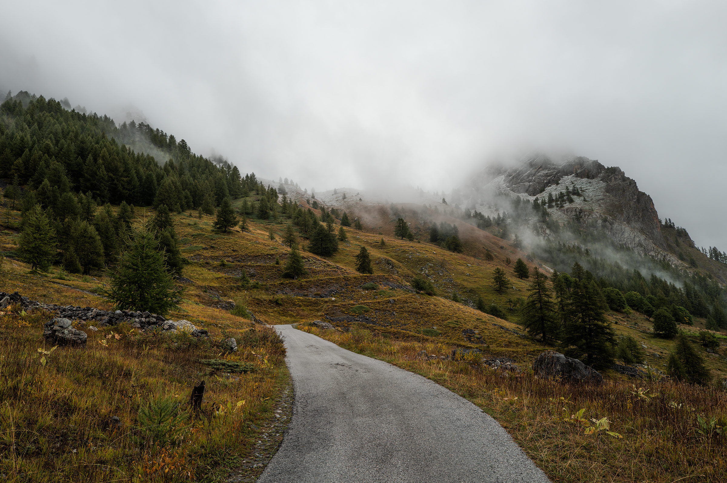
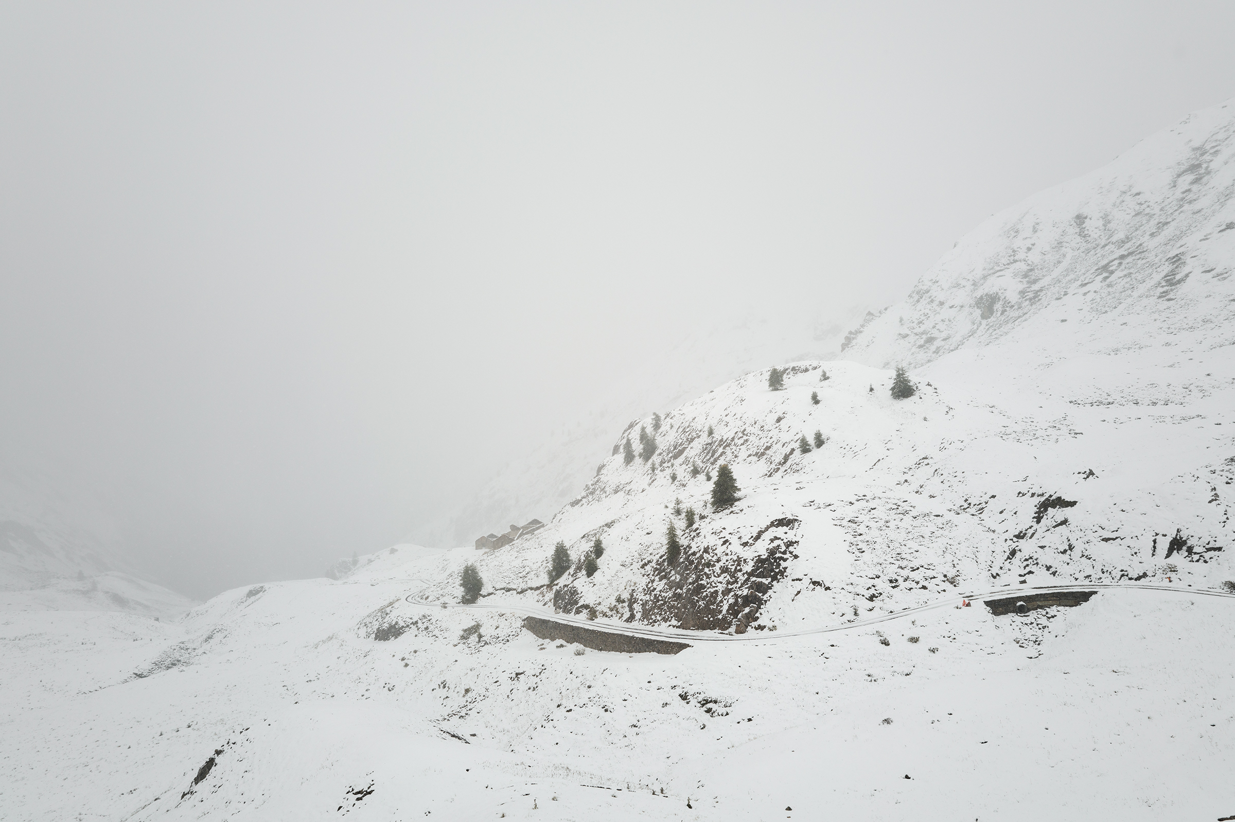
One of my motivations to do the Torino Nice Rally was this network of ancient Roman roads, named “Via del Sale.” Again on that day, the weather conditions were uncertain, but I only had 80km and 2,100m of elevation to tackle. I saw on Instagram a message from the local mountain guides from a couple of days ago saying it had snowed. Well…I had to verify it myself. So I left the posh hotel from the posh town and made my way up. It was hardly raining and I quickly became confident the conditions would be acceptable.


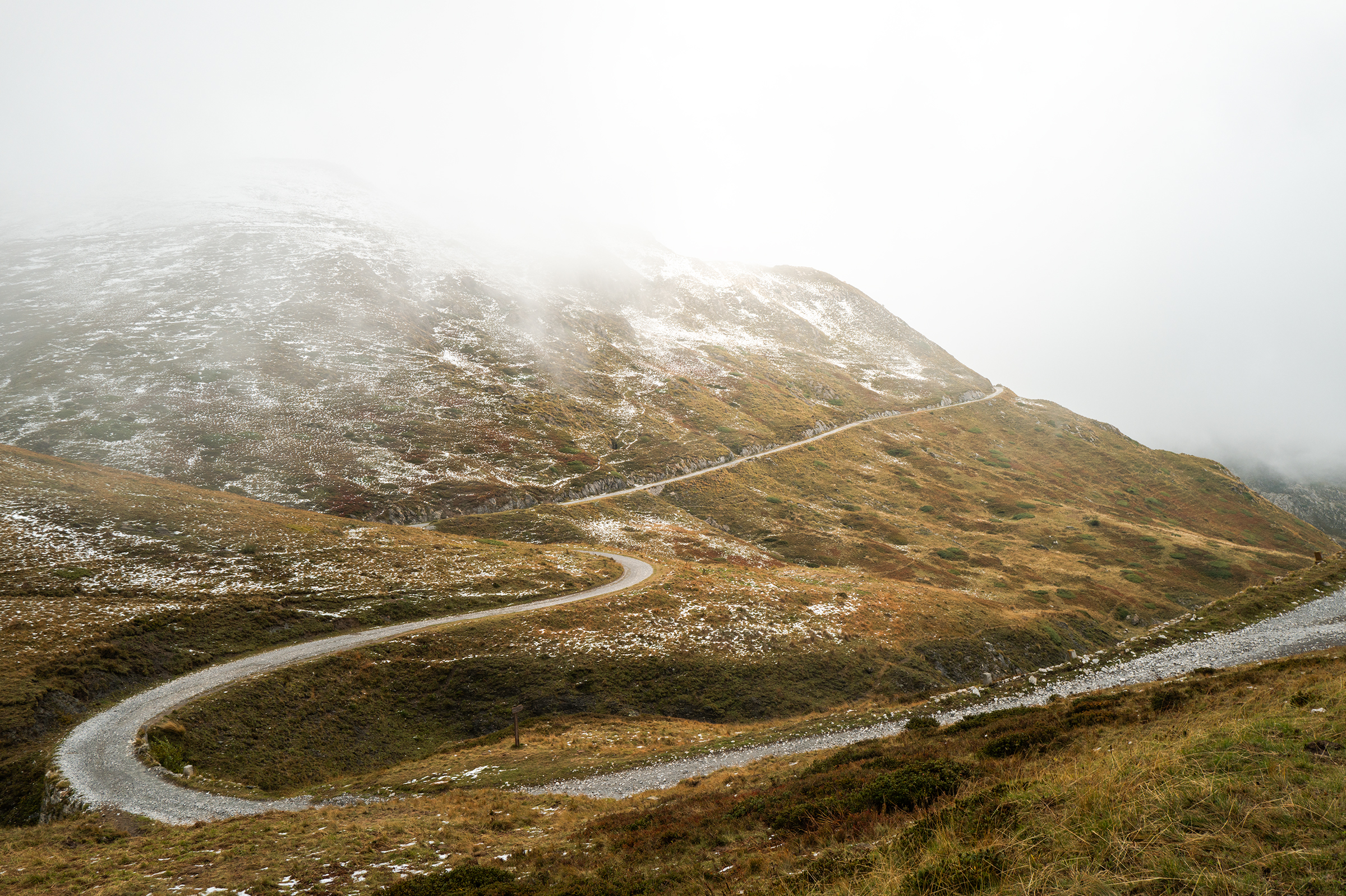
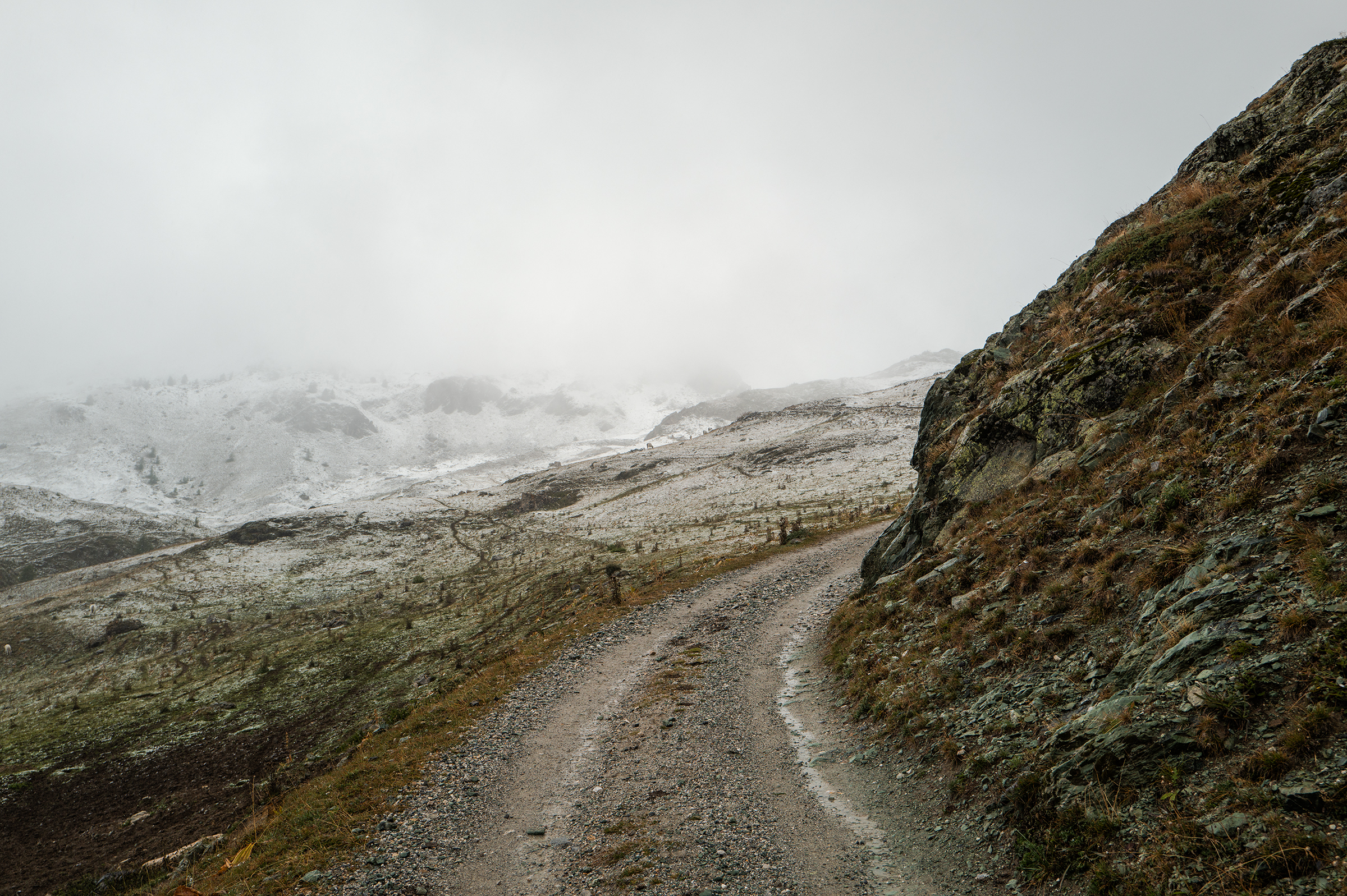
After an initial long ascent, I discovered there was still snow at the top. I got a €1 entrance ticket anyway to access the trails. The mountain guide thought I was crazy. He didn’t realize I was aware of that already.
As I was making my way up, I bumped into a couple of mountain bikers who told me it would be very hard to reach the top. They told me they unsuccessfully walked their bike over a good 2km before deciding to turn back. I told them I would do it regardless, and they gave me the same doubtful look as the guide.


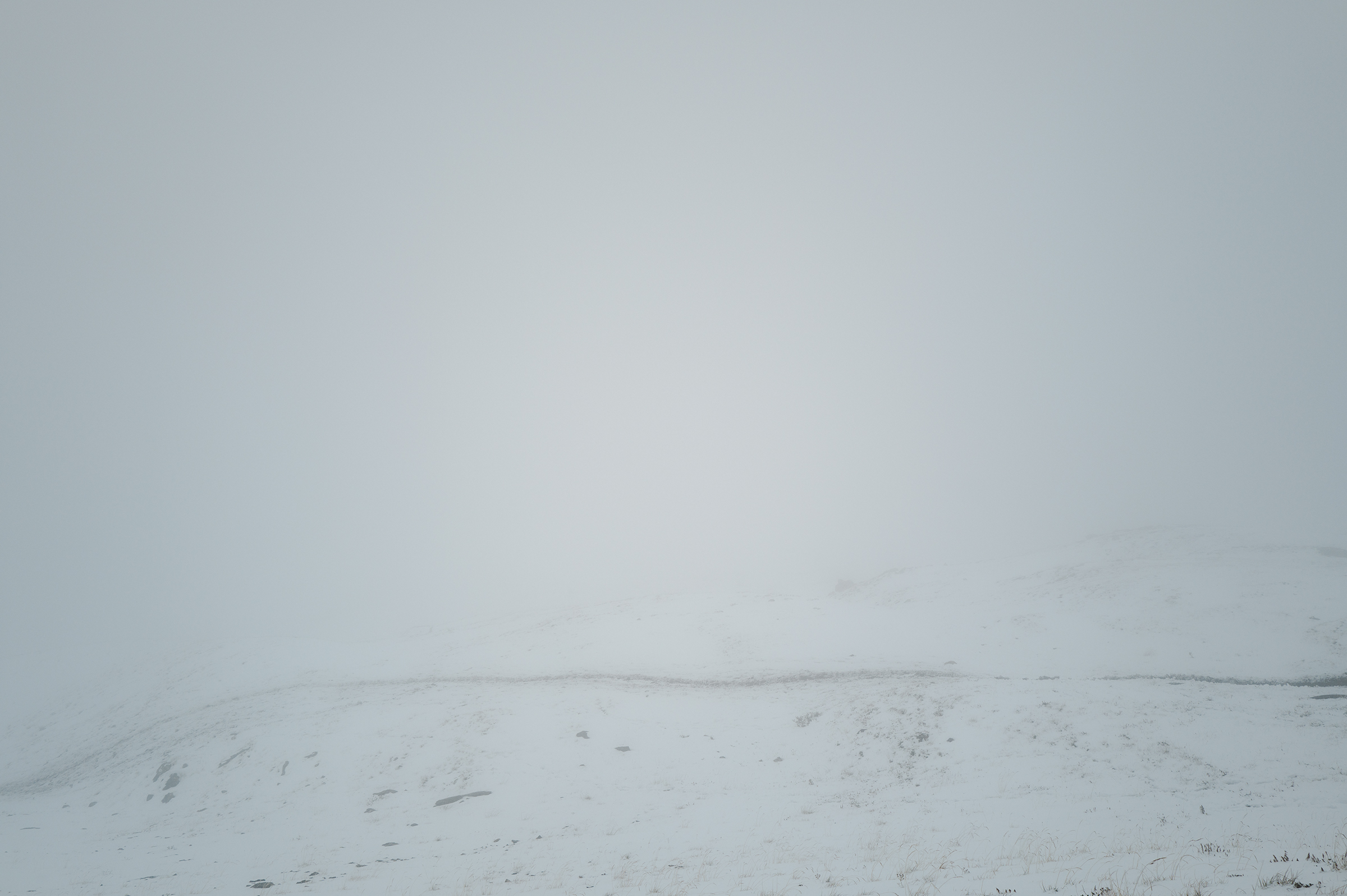
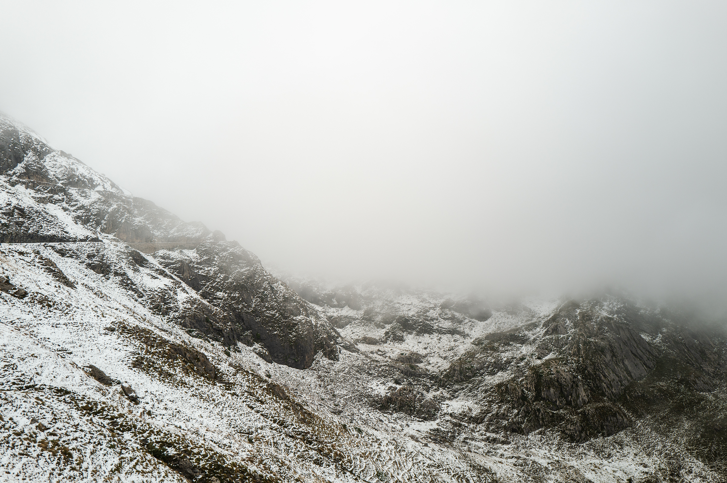
I started preparing myself mentally for a long and exhausting hike-a-bike. Initially, I followed their marks, which helped speed up the hike. The snow was much heavier than yesterday though, which was a little discouraging. In total, I could see on the map that it would take about 4 km to be done with the snow.
One detail I didn’t expect though — I could feel the lower part of my shins hurting. The pain reminded me of when I got shin splits many years ago. Back then a doctor told me that if I didn’t give my legs some rest, I would risk a fracture. I considered putting some snow to help with the inflammation (it was widely available…), but thought it would make me even colder. I decided to just keep going slowly.
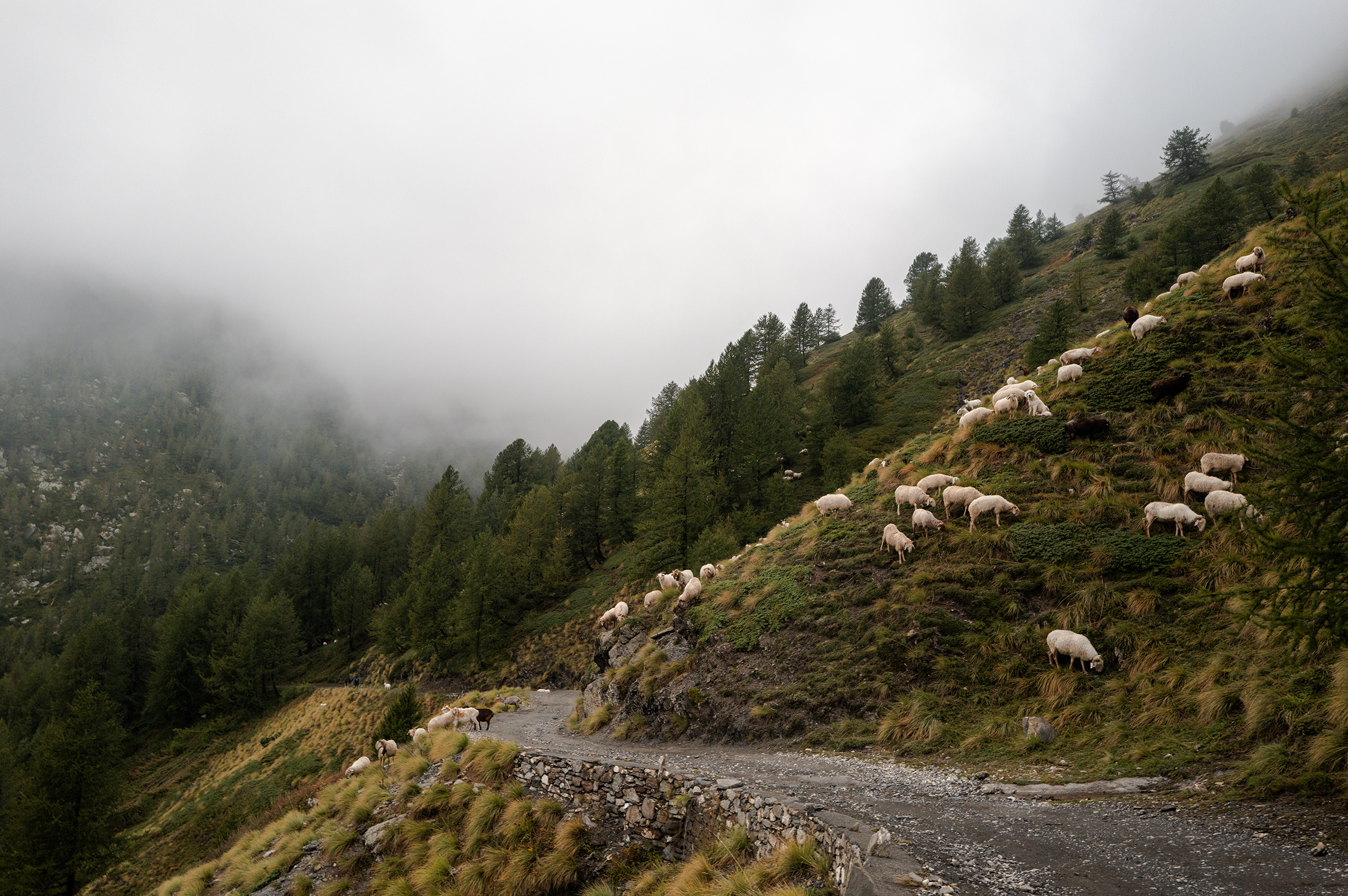
Those 4km took at least two hours, and I might have been the only person crossing the pass on that day. Very satisfied, but low on energy and food, I quickly found out that all the refuges had already shut, leaving me with no chance to refuel. I felt like I really needed food but knew I could still keep going for a long time at a slow pace.


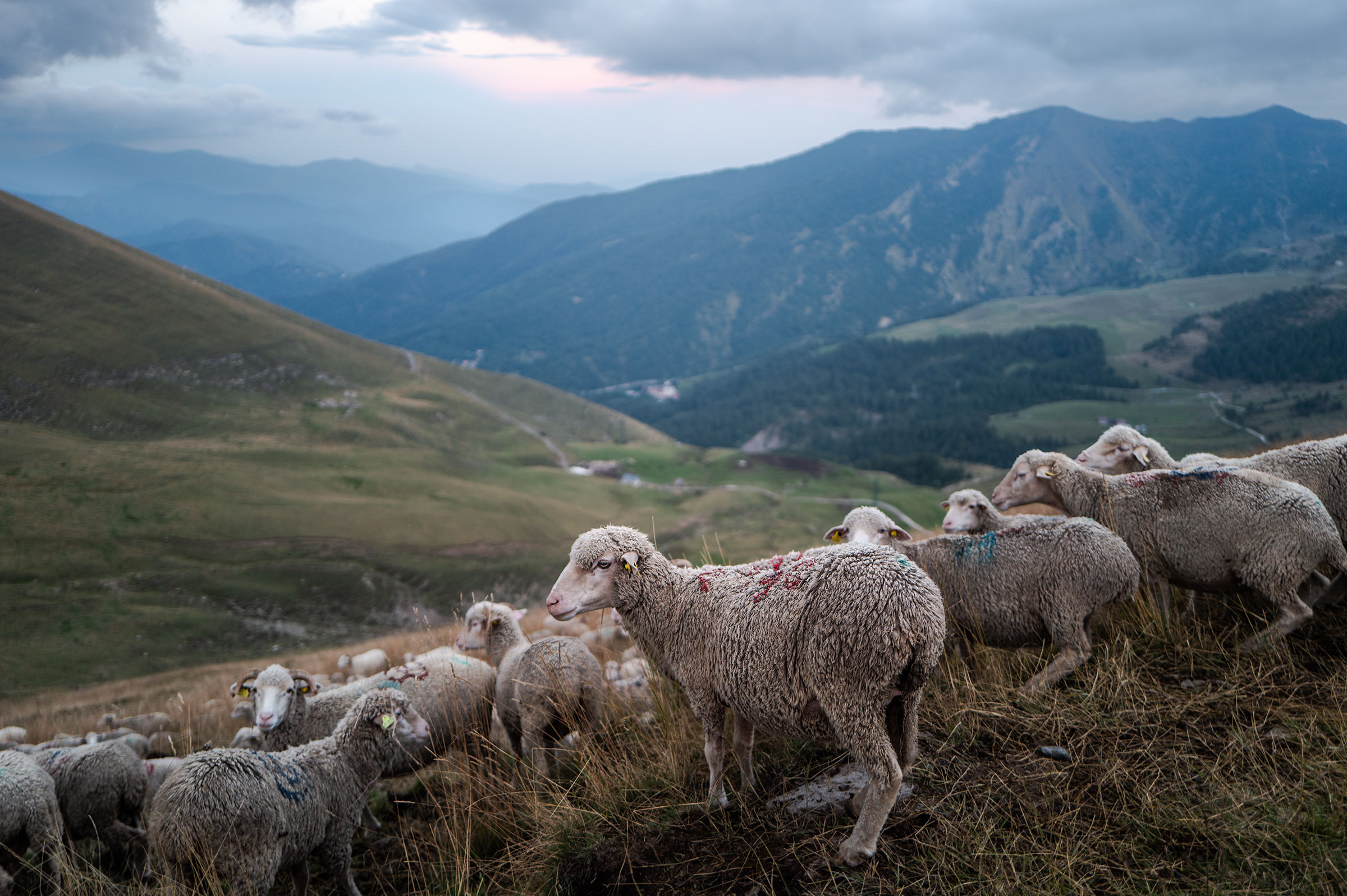
I passed a few shepherds and got chased by their dogs, one of my least favorite memories from the trip. But I get it, they’ve got work to do.
I started the descent down to Saint-Dalmas de Tende. I called my hotel to let them know I would be late. What I didn’t know was that it would be 30 km of extremely slow technical descending. Ironically, the last stretch of that endless descent was named “la Route de l’Amitié” — the road of friendship. It wasn’t a road and it wasn’t particularly friendly either. In the end, it took me three hours to reach my hotel.
9:30pm, I was finally there and truly exhausted — another “short” day turned long.
Day 6: Saint-Dalmas de Tende to Nice. 110km, 2100m.
I awoke to sun peeking through the blinds. At last, “victory” day.
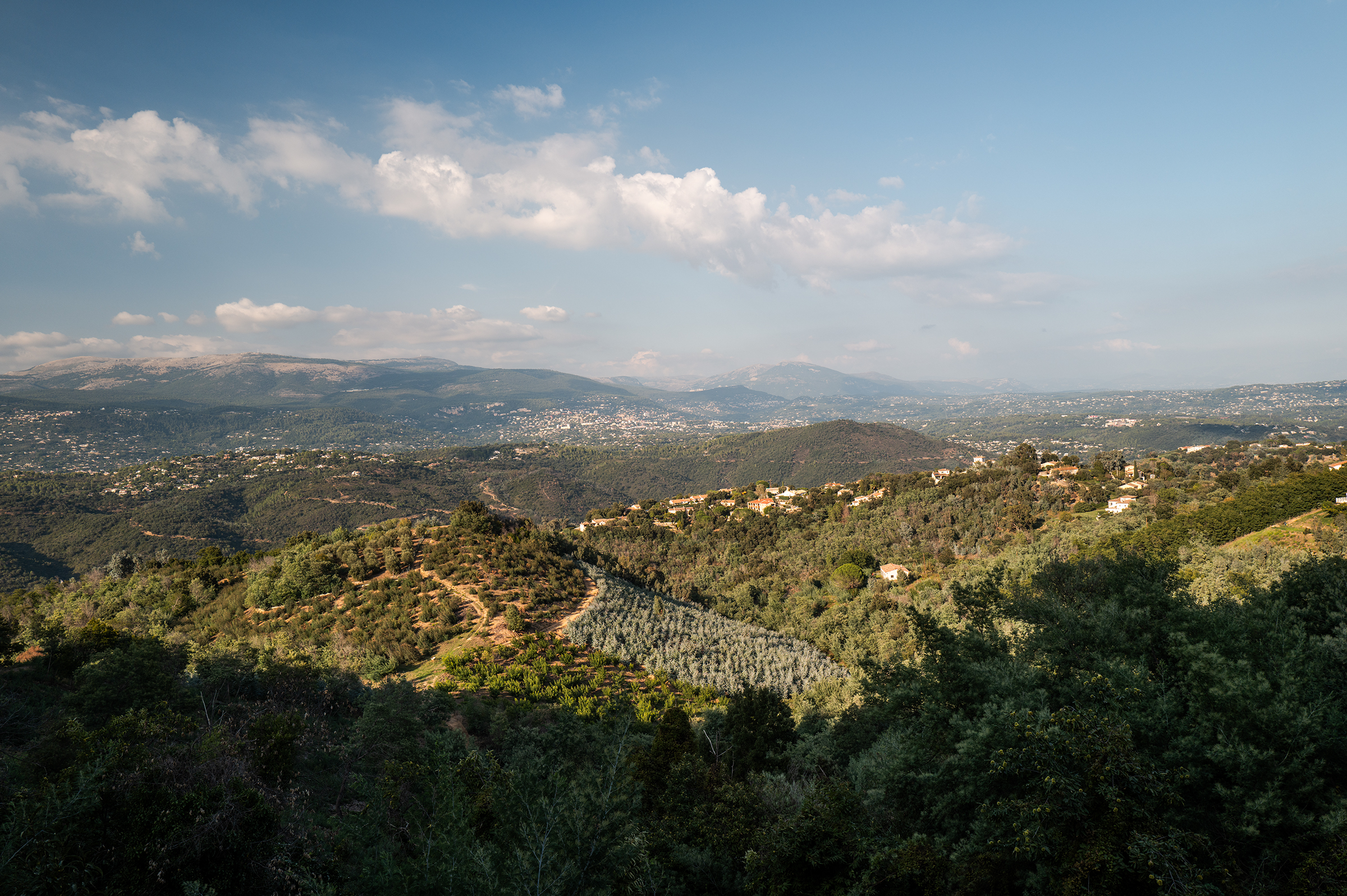
Going down the valley gave me joy. The local towns had those Italian-inspired colorful buildings. In 24 hours, I had gone from negative temperatures to warm (and much appreciated) 28 degrees.


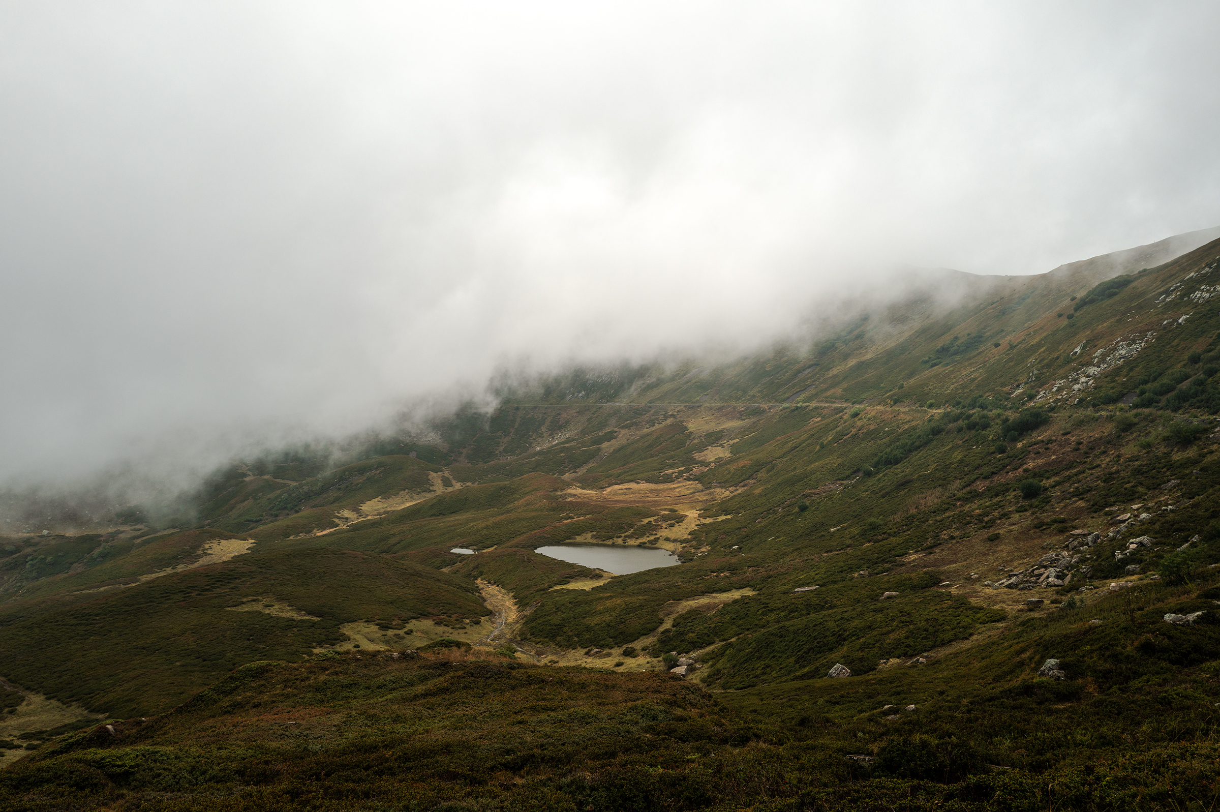
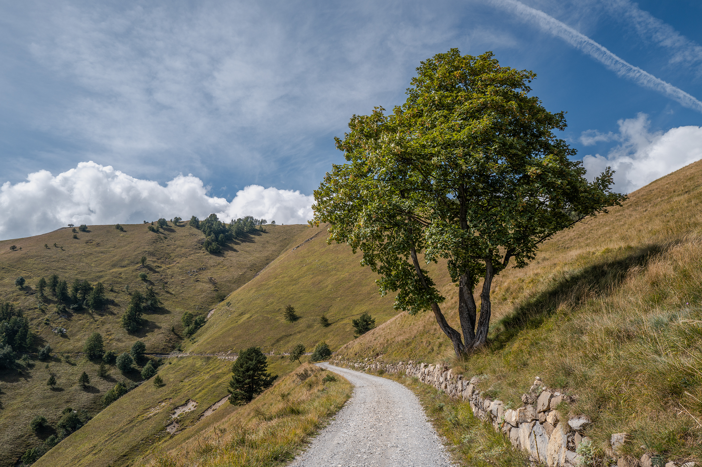
I crossed the Vallée de la Roya, a region I will probably go back to in the future. I just had one last rocky gravel section up to La Forca, an area slightly north of the Turini Pass that actually gave much better views than Turini. It was a nice reward after another 1,600m of climbing.


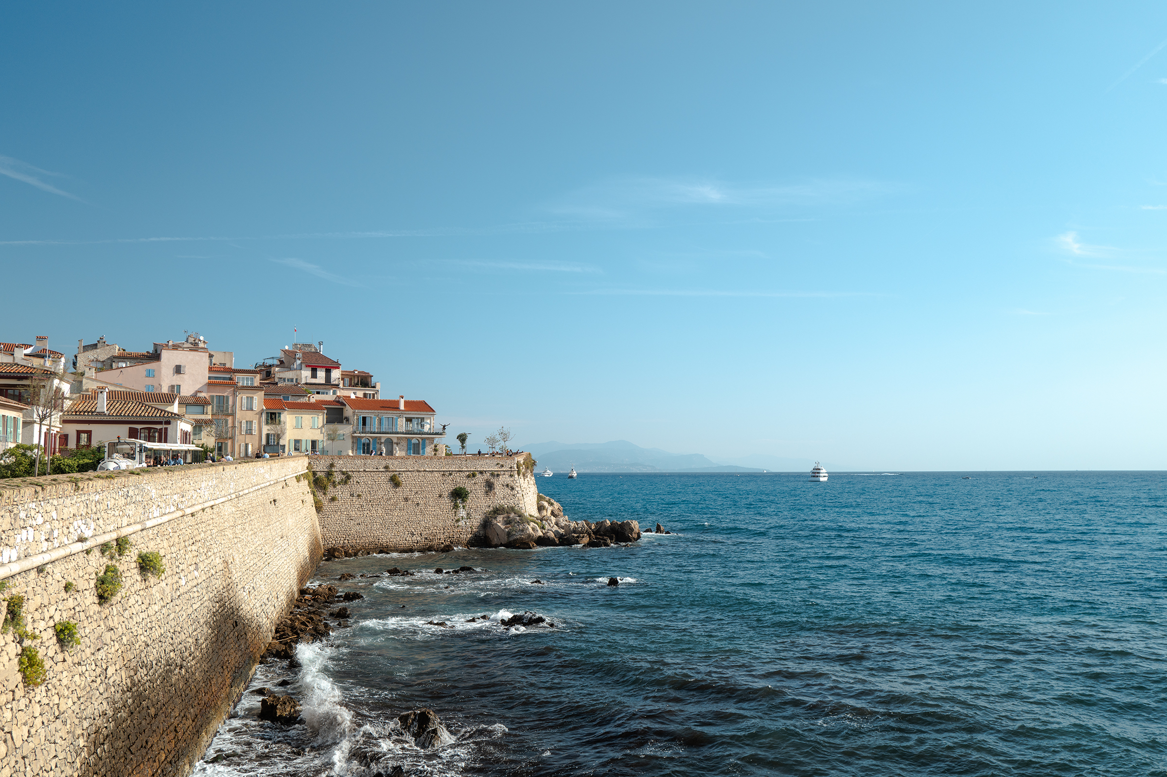
I arrived in Nice for sunset and headed over to Antibes to discover a town I wasn’t familiar with.
And with that, I had completed the TNR with fire in my legs and pasta in my belly. But unsurprisingly, I still hadn’t quite gotten my fill…
Day 7: Extra trip to l’Esterel
Antibes was a great surprise and I spent an hour in the morning to explore a town full of art.

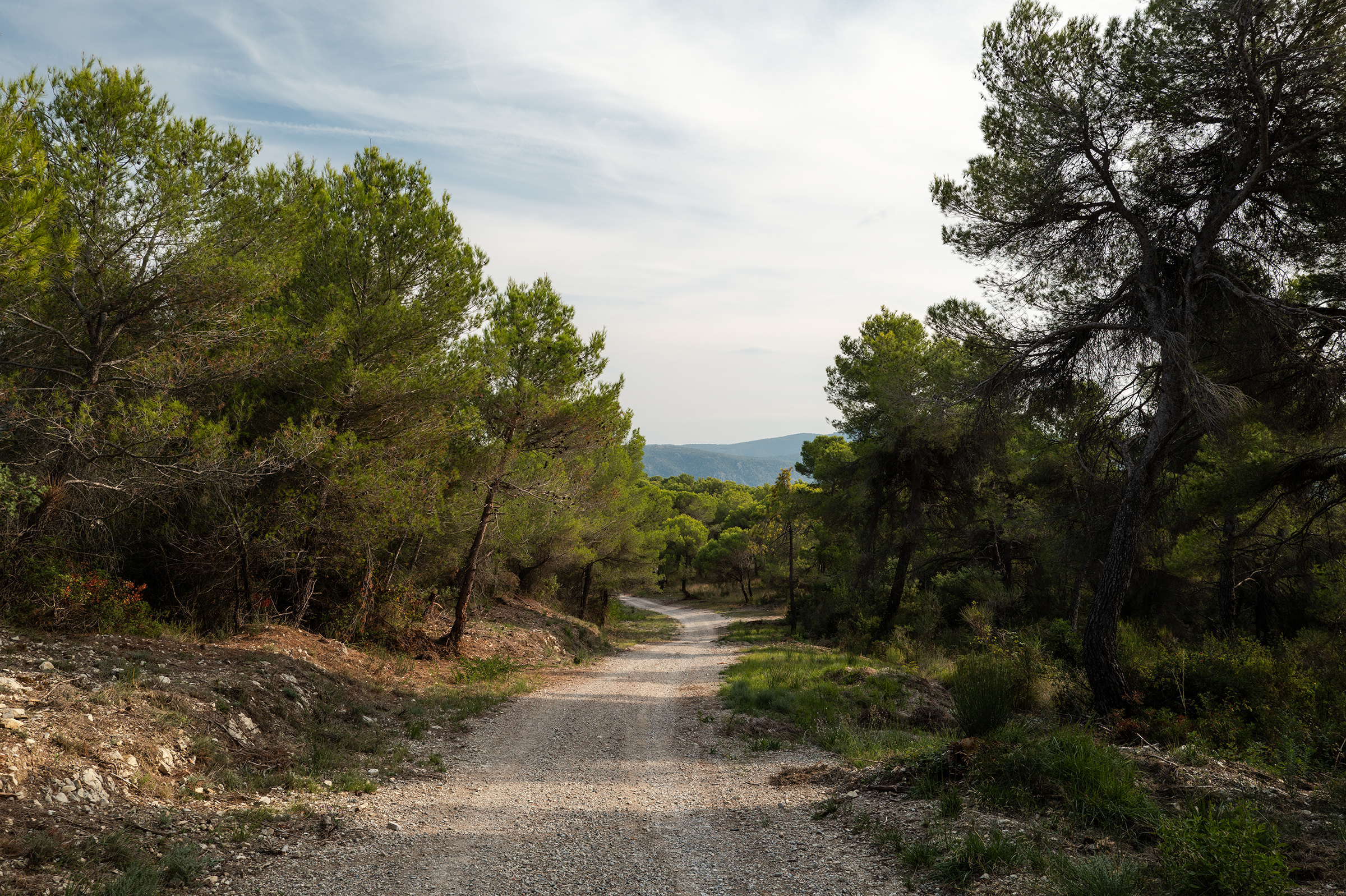
I’m a little mad in case it isn’t clear by now, so instead of spending the rest of the day soaking up the sun, I decided head over to the Esterel, a national park located further West on the Riviera. It was a simple loop of 120km with just 10km of gravel, and a recommendation I got from Édouard Bonnefoix a few months ago.
This time no snow and no-hike-a-bike but a green forest under a blue sky and the shining sun. A serene way to end the trip.
And it’s a wrap! If you read this far, thank you! Special thanks to James who answered every question I had during the trip and always communicated updates about the conditions through the TNR’s Instagram account. Cyclists, athletes, you’ll find additional details and videos in this Strava update.
This is a trip I would recommend to any cycling enthusiast who wants to discover the Alps, hopping between France and Italy every day. During this trip, the views and the food make you forget about the efforts. As I write this on my train back home, I have so many words for it, but none of them are “never again.”
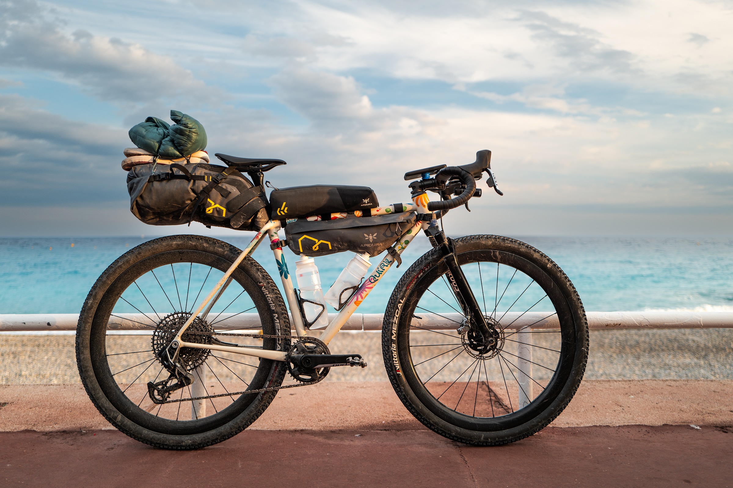
Gear information:
- Quirk Suprachub frame with RockShox Rudy XPLR (40mm)
- Lightbicycle WG44 wheelset
- Sram Red/Eagle “mullet” setup with 38T front ring and 10-52T cassette — allowed me to never have to walk my bike (unless in the snow!)
- Effetto Mariposa Flower Power drip wax
- 2.1″ 700c Vittoria Mezcal Tyres — not particularly fast on pavement but couldn’t fault them off road. Gave me a lot of confidence on technical terrain. A miracle they fit with the Rudy fork!
- Apidura bags — not was practical as Tailfin but far lighter and cheaper.
- Leica Q3 camera (read my review here)
very nice pictures! we’ve been from the 22nd of september, the weather was completly the opposite, was super interesting to see it, thanks!
I will have to see the TNR under the sun some day too!
Hi Eammanuel,
I’ve just returned from a gravel week in Greece. Due to weight I didn’t take my Nikon Z5 but opted for my Sony R100. Sadly it got managed by the vibration and dust. Have you got any top tip on packing one’s camera?
Beautiful photos by the way.
Yeah it’s tricky off-road. I got a Leica Q3 which is built like a brick — so far it’s damaged both my Apidura bag and my frame, but has survived technical terrain. Still trying to find a good compromise myself between quick access and protection.
Thanks. Not going down Leica route (like my bike too much) but will keep looking for that perfect bag/cam combo.
Felicitations mais vous ETES fou. Lol.