After several days tracing the Panj River, Ricardo and I had ventured deep into Tajikistan and made it to the Pamir — a vast mountain range spanning Central and South Asia. We had already covered 500 kilometers of rugged, crumbling roads, and the next stretch promised to be just as long and nearly as grueling.
The so-called “Pamir highway” had last seen major construction during the Soviet era, with key segments completed in 1937 and 1940, linking Osh to Khorog and Khorog to Dushanbe. Decades of harsh weather and a lack of maintenance had turned the route into anything but a smooth ride.
Tag along for a remote journey on one of the highest roads in the world, at the heart of the Silk Road.
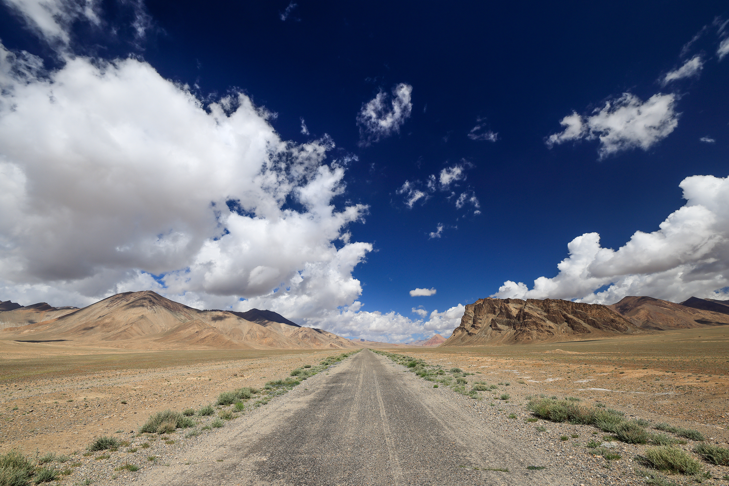
Khorog to Alichur
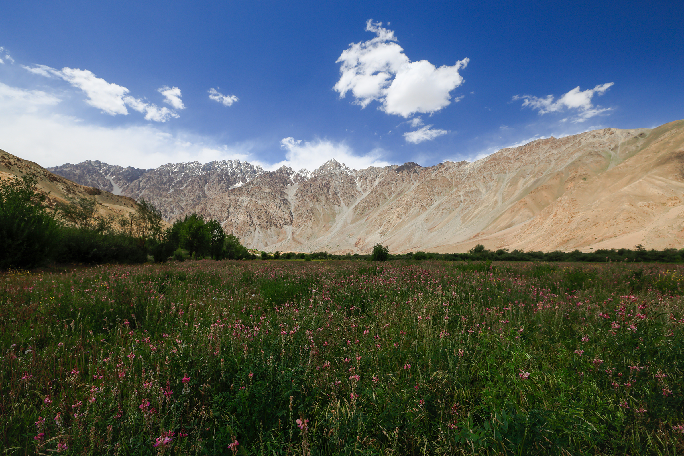
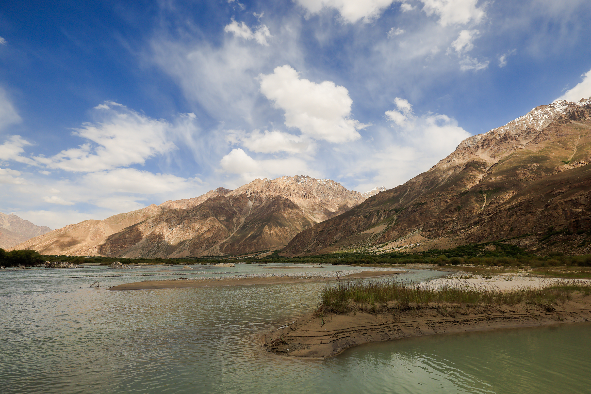
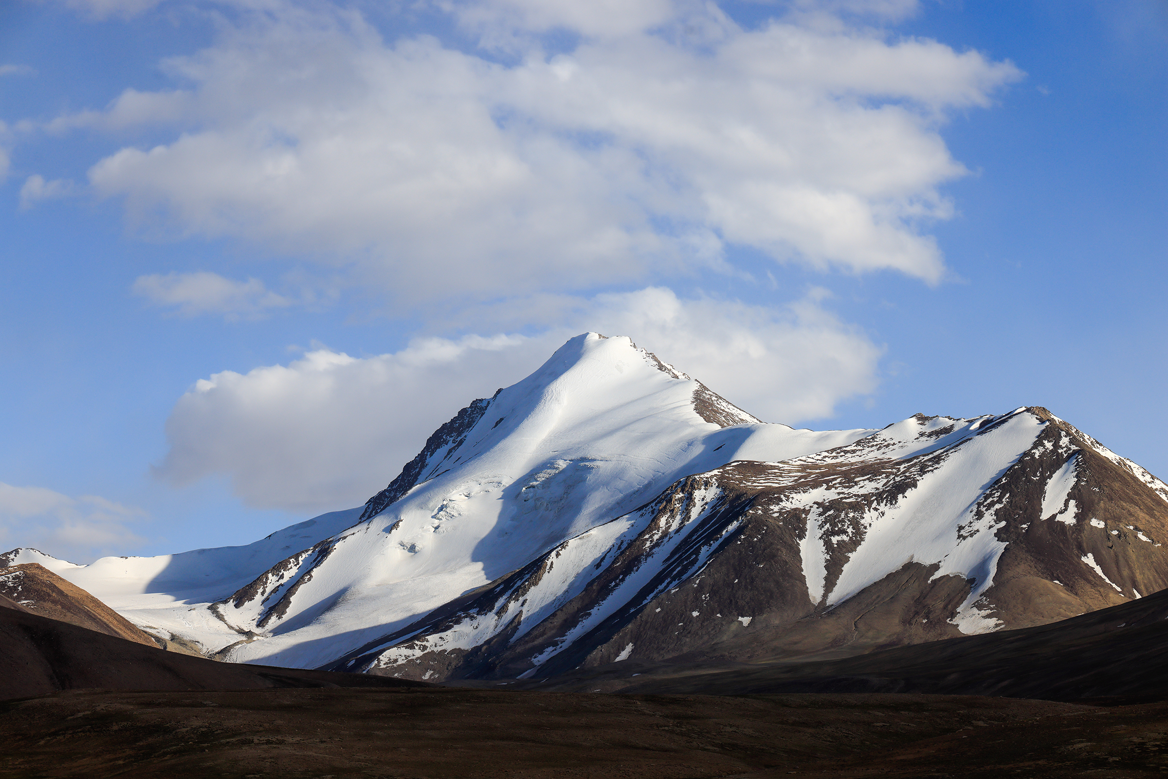
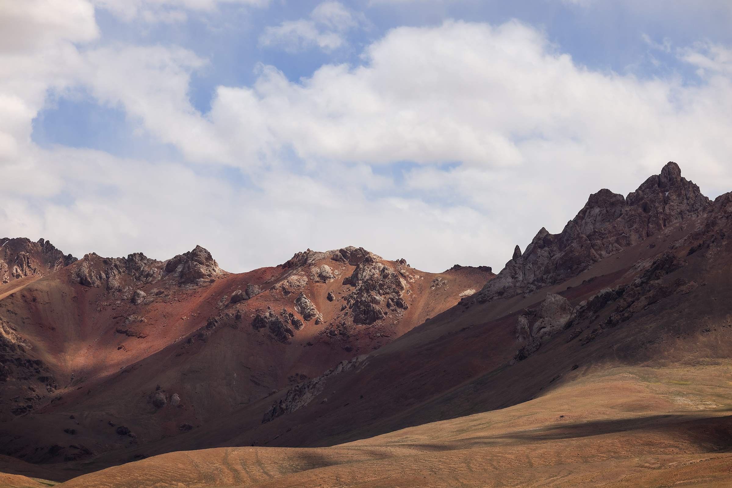
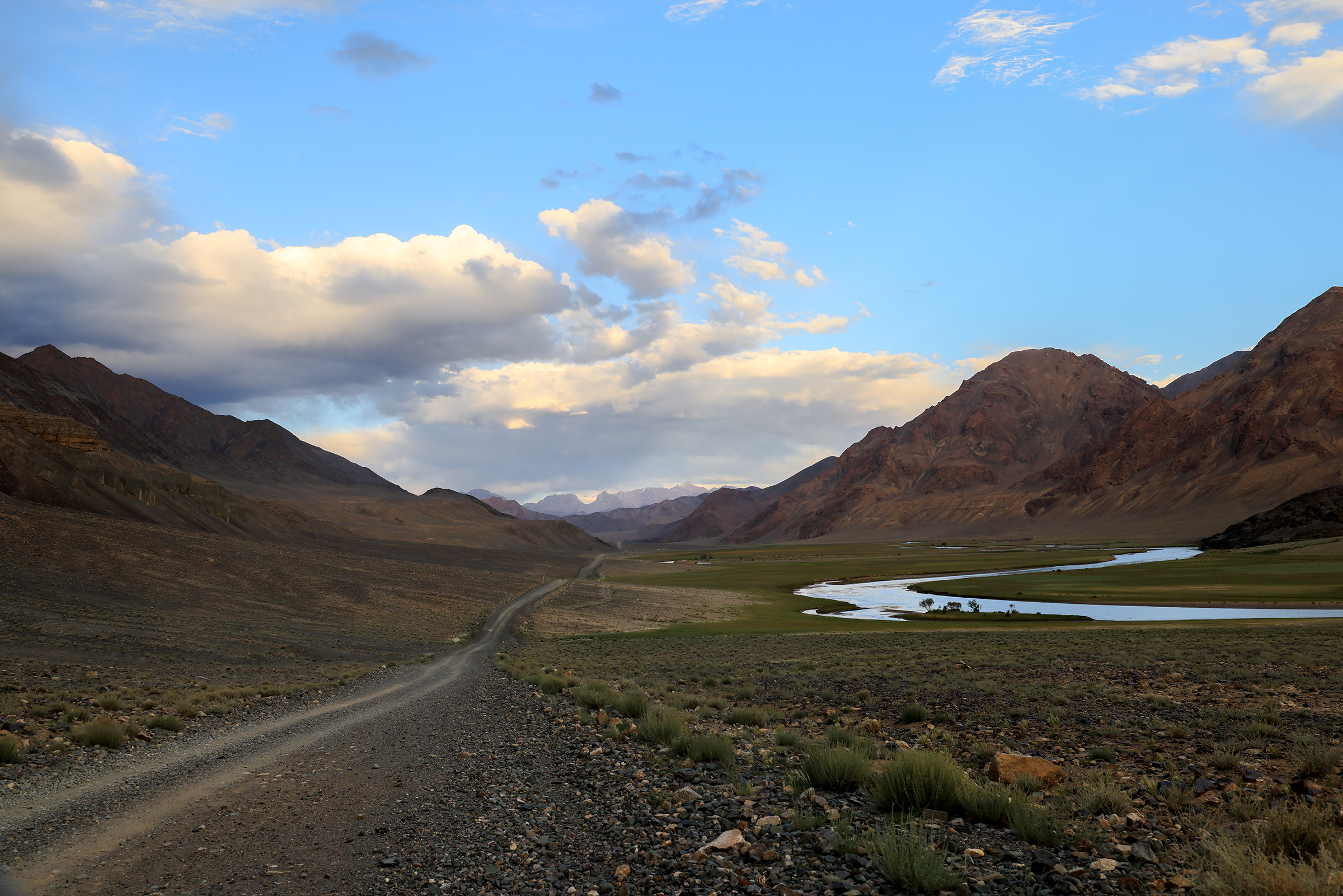
We left Khorog and the Panj River after a restless night. The challenges of the previous day — a 4 a.m. wake-up, a car breakdown, and a bout of food poisoning at dinner — had left us far from refreshed. On top of that, the dry air was triggering frequent nosebleeds, and the steadily increasing altitude was taking its toll on my body, leaving me sluggish and slow to recover. It was one of those odd times when nothing was truly going wrong, yet everything felt slightly off.
Thankfully, the breathtaking landscapes around us provided some solace.


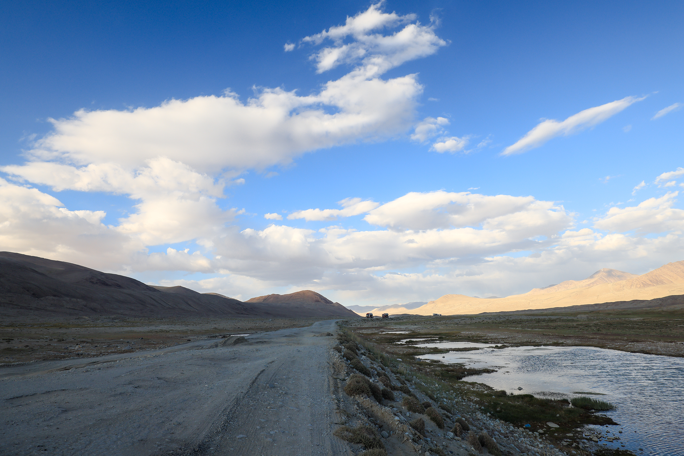
On the following photo, you can see from a distance one of the many large trucks traveling across the Pamir Highway. Most of them from China, often transporting electric vehicles to Europe. It’s how China is trying to revive the historical Silk Road with its Belt and Road Initiative (BRI), aiming to create a modern network of trade routes.

That truck had broken down — just like they all do. Yet, the drivers remained unfazed, calmly repairing the vehicle with a kind of ease that we, Westerners, could probably learn a thing or two from.
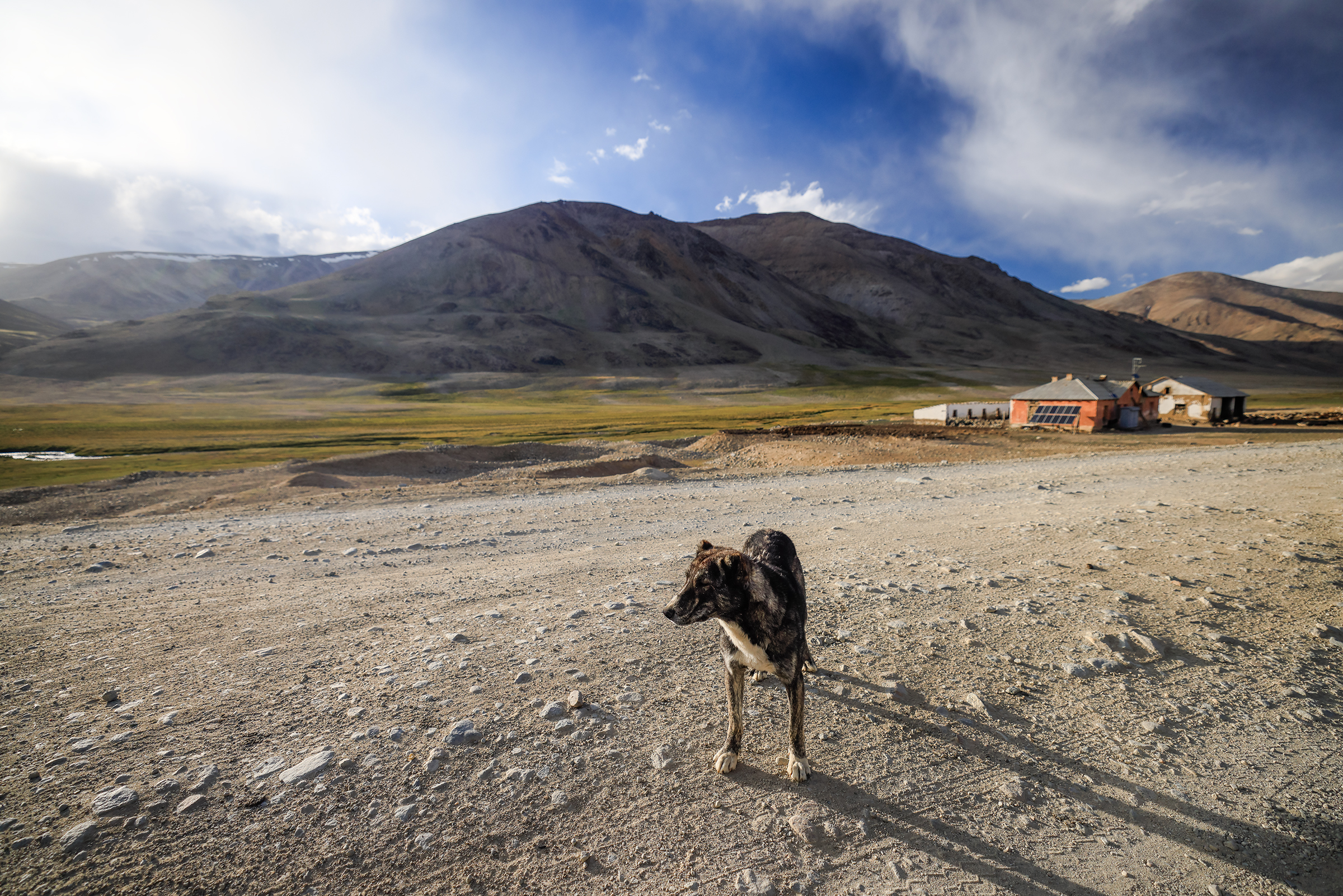
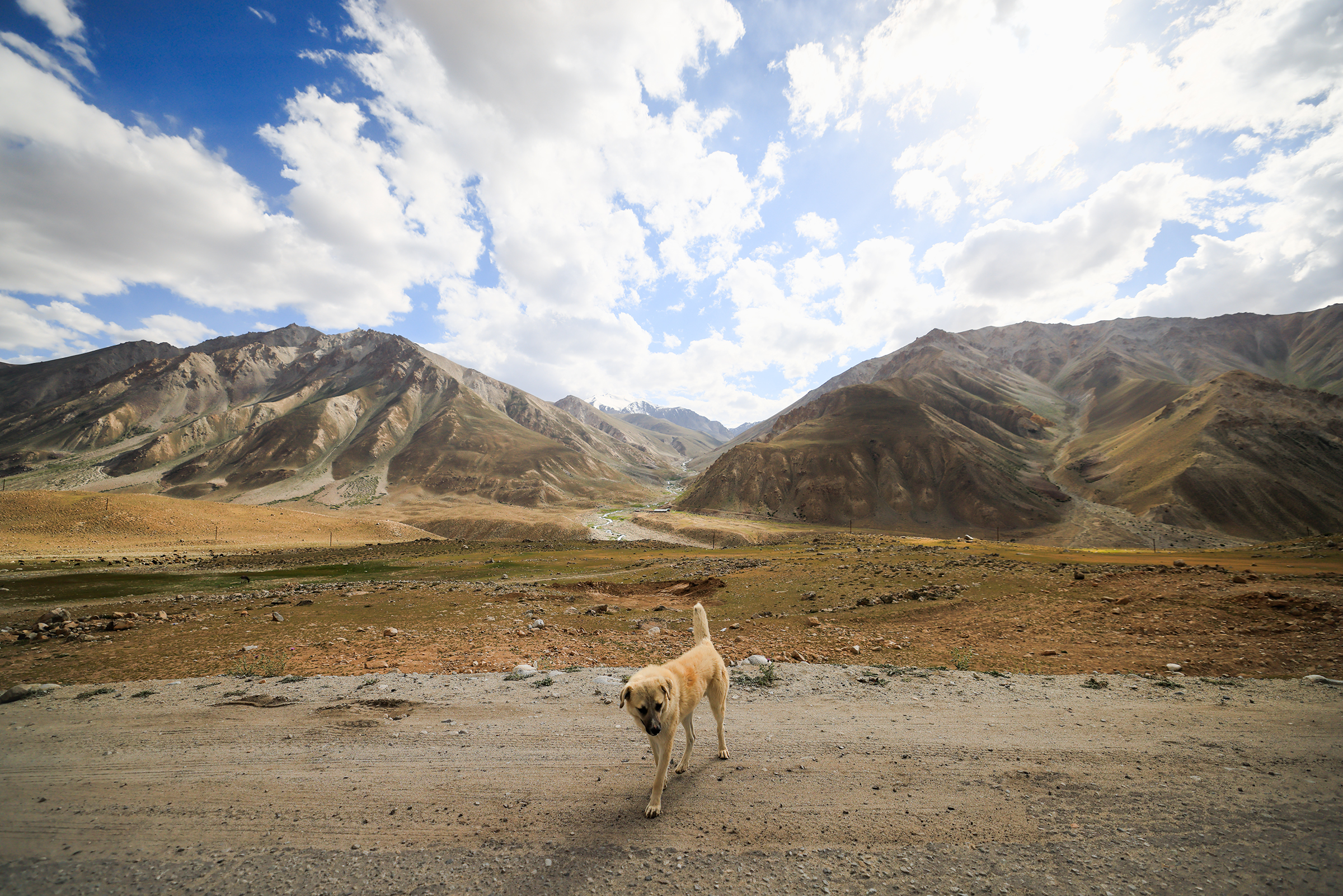
We encountered many dogs along the way but chose to keep our distance, knowing that many were likely unvaccinated and could carry rabies.

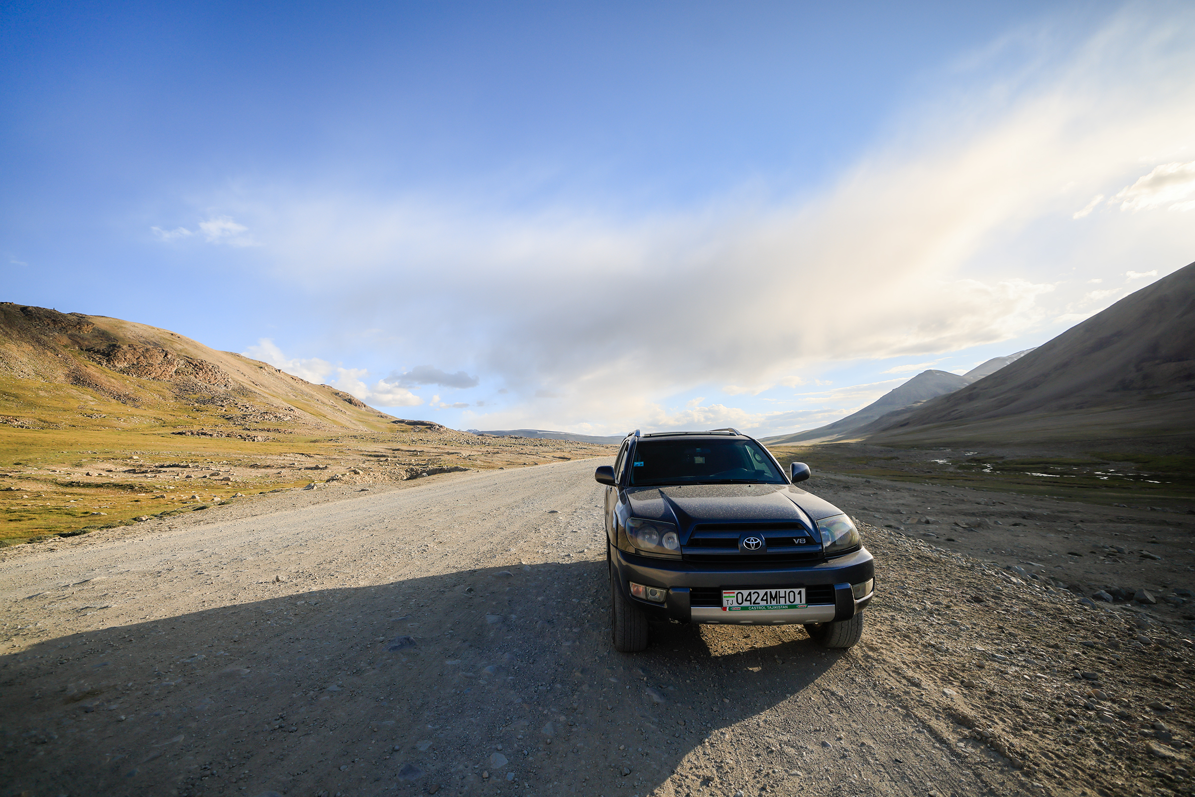

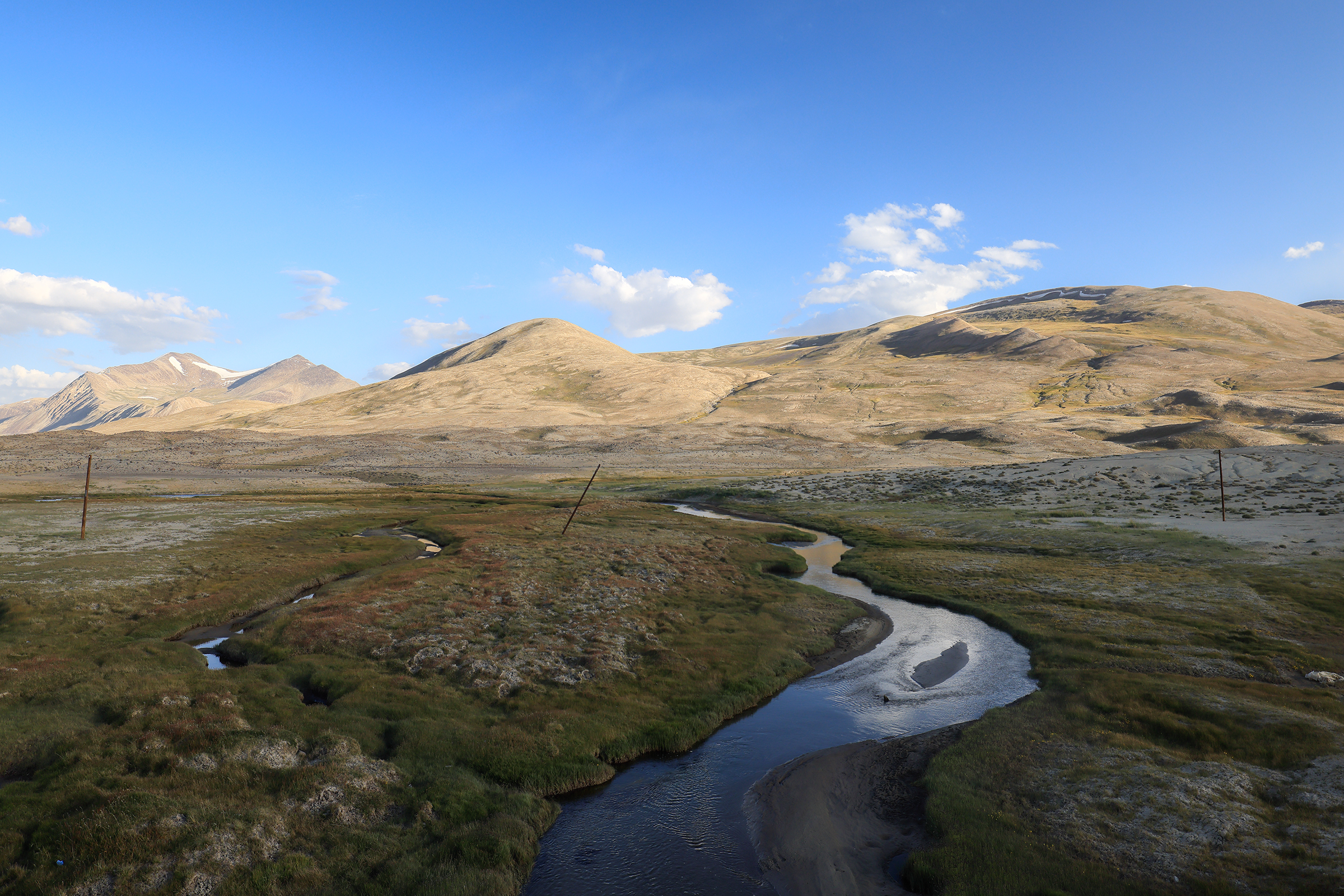


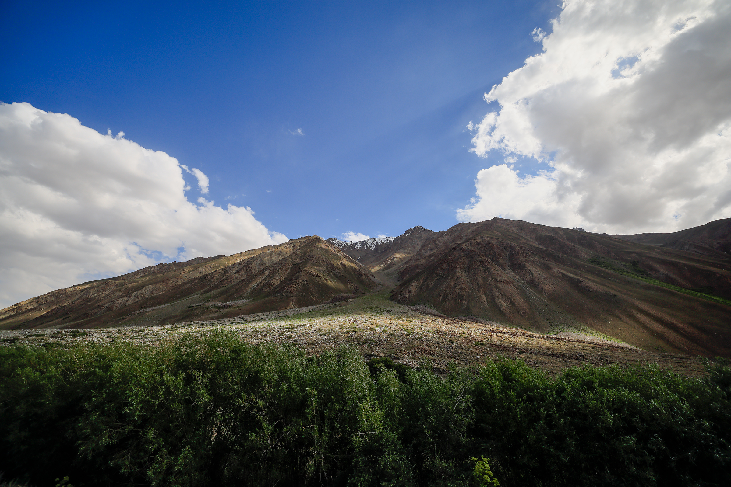
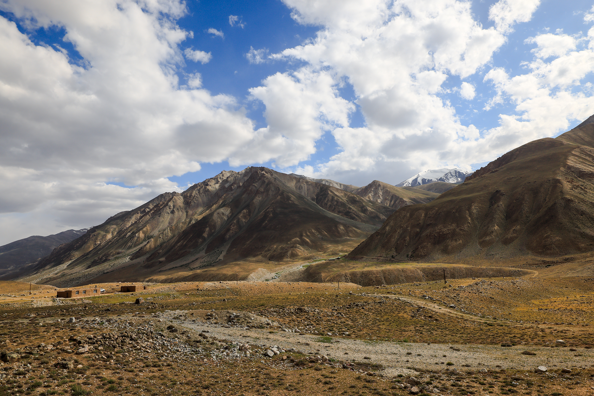
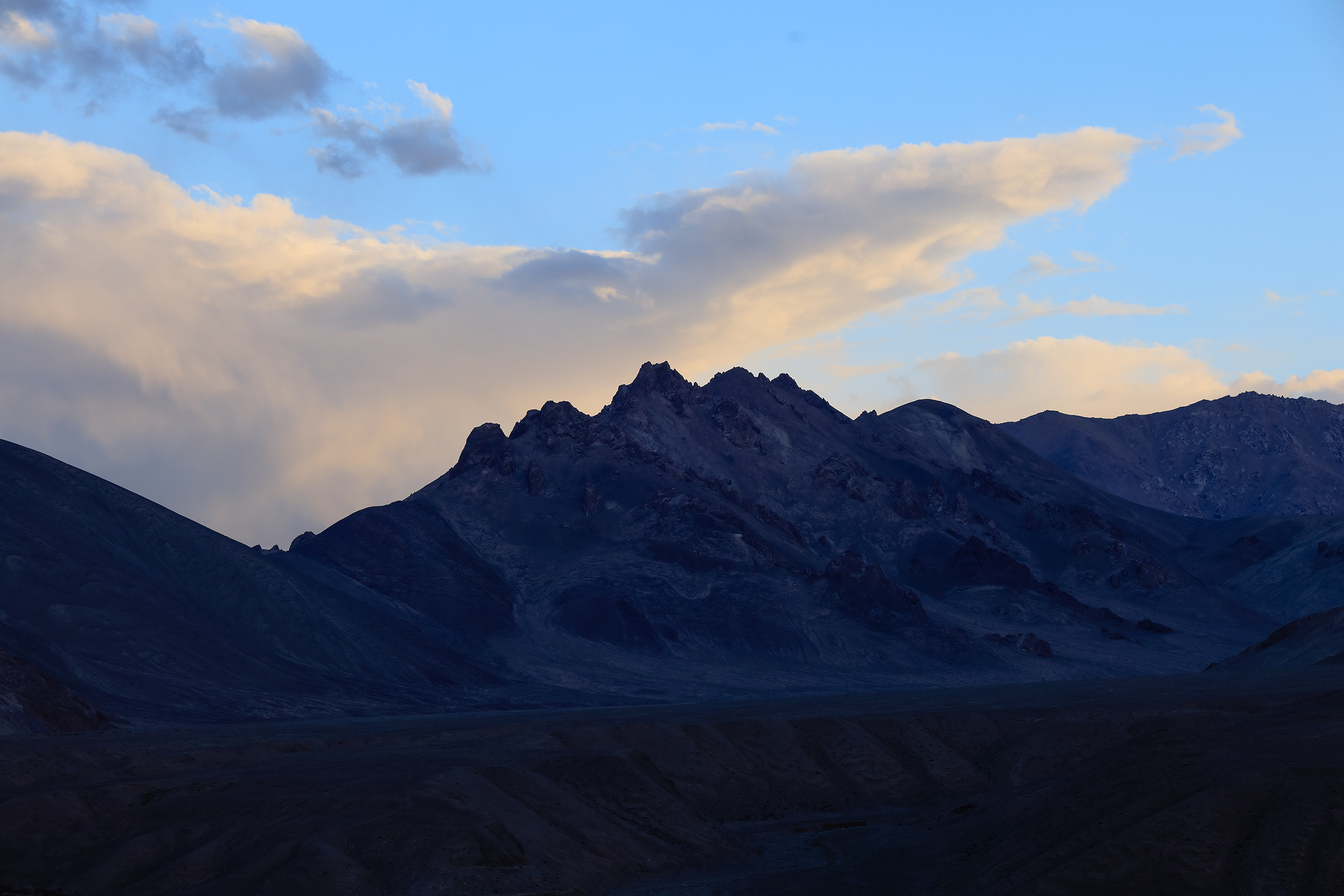
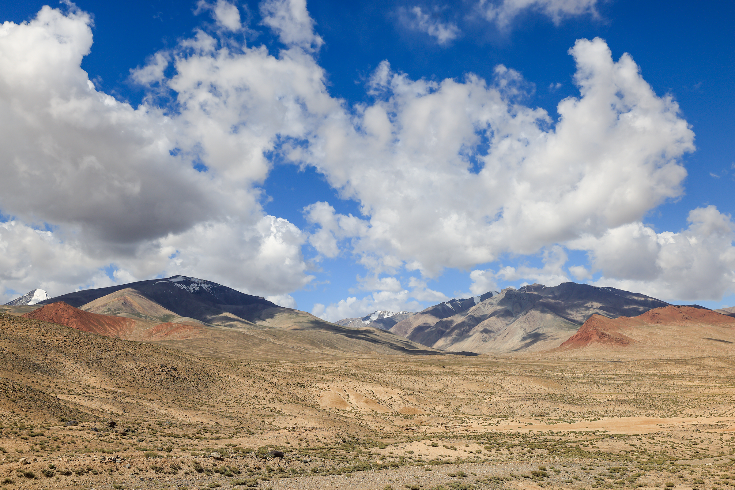
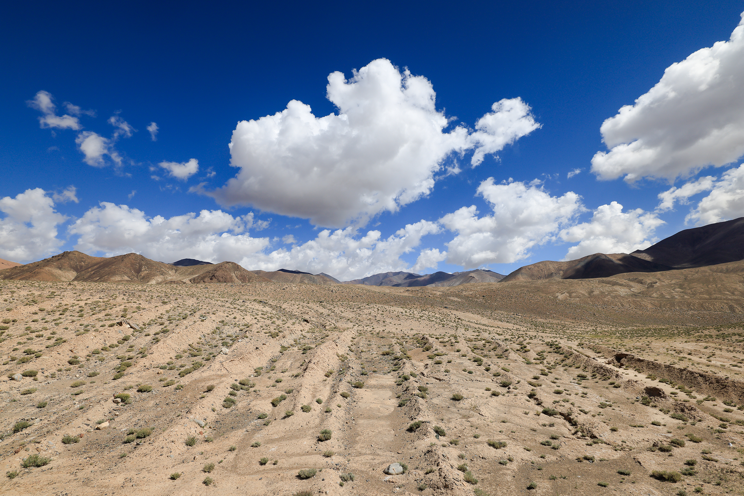
Alichur to Murghab
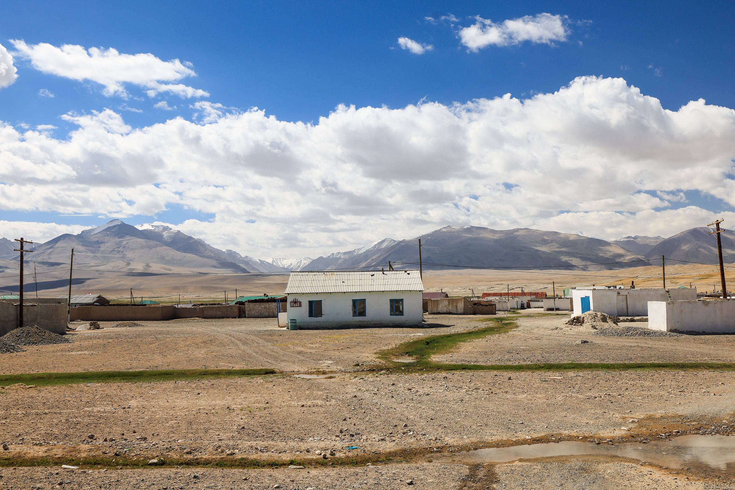
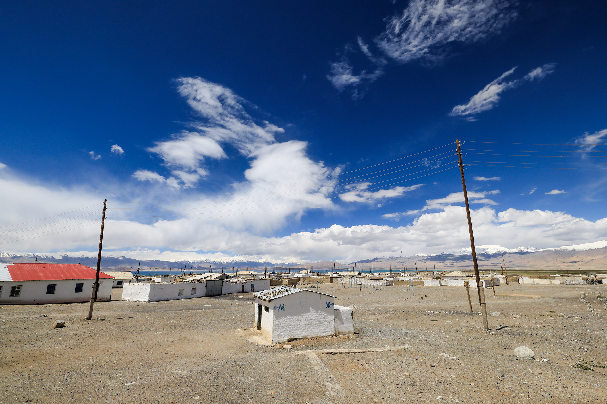
I didn’t take many photos of the towns where we stayed, mostly because there wasn’t much there. Think a few rudimentary houses and in the middle of immense mountains and that’s it!
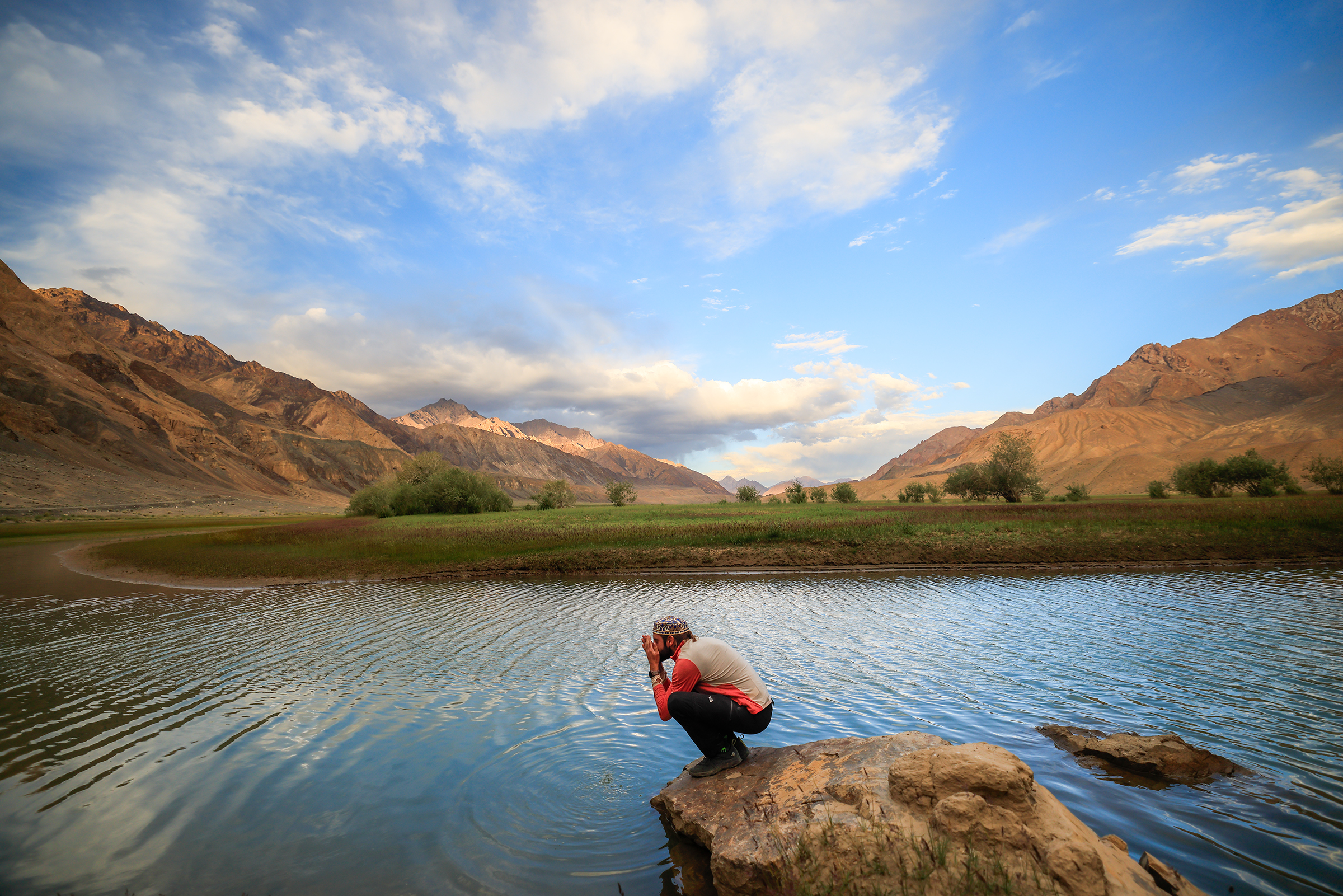
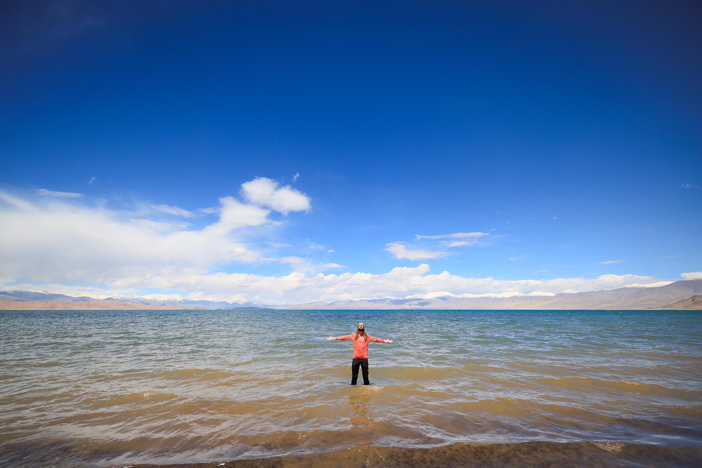
Ricardo saw waters that reminded him of Ibiza, so he had to give it a go. Hint: it wasn’t as warm as the Mediterranean.
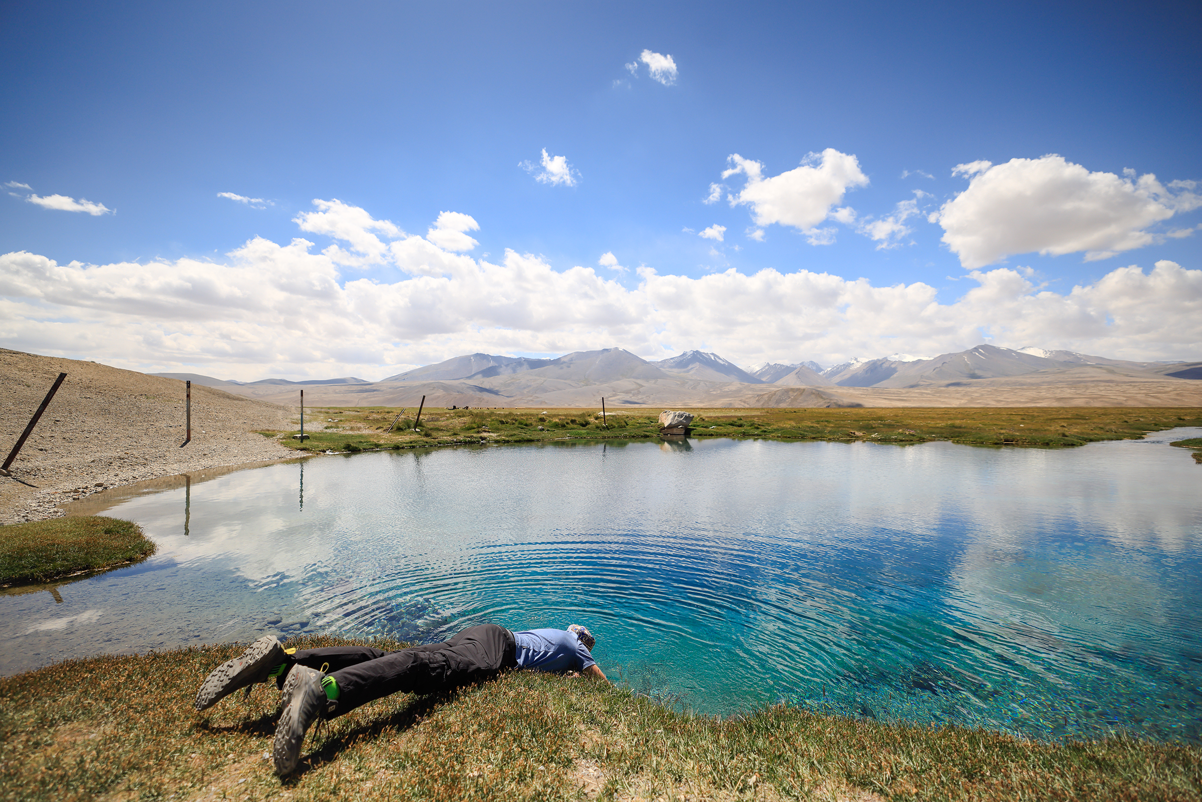
If you were wondering, self-fulfilling prophecies are definitely found in nature.
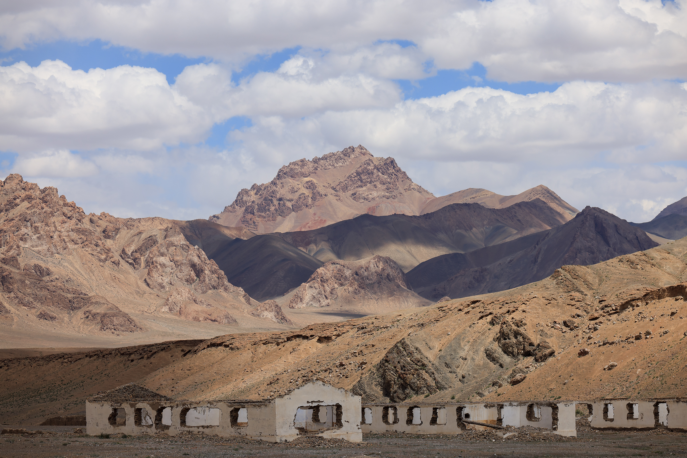
We didn’t stay in those houses — we were told the insulation wasn’t too good.

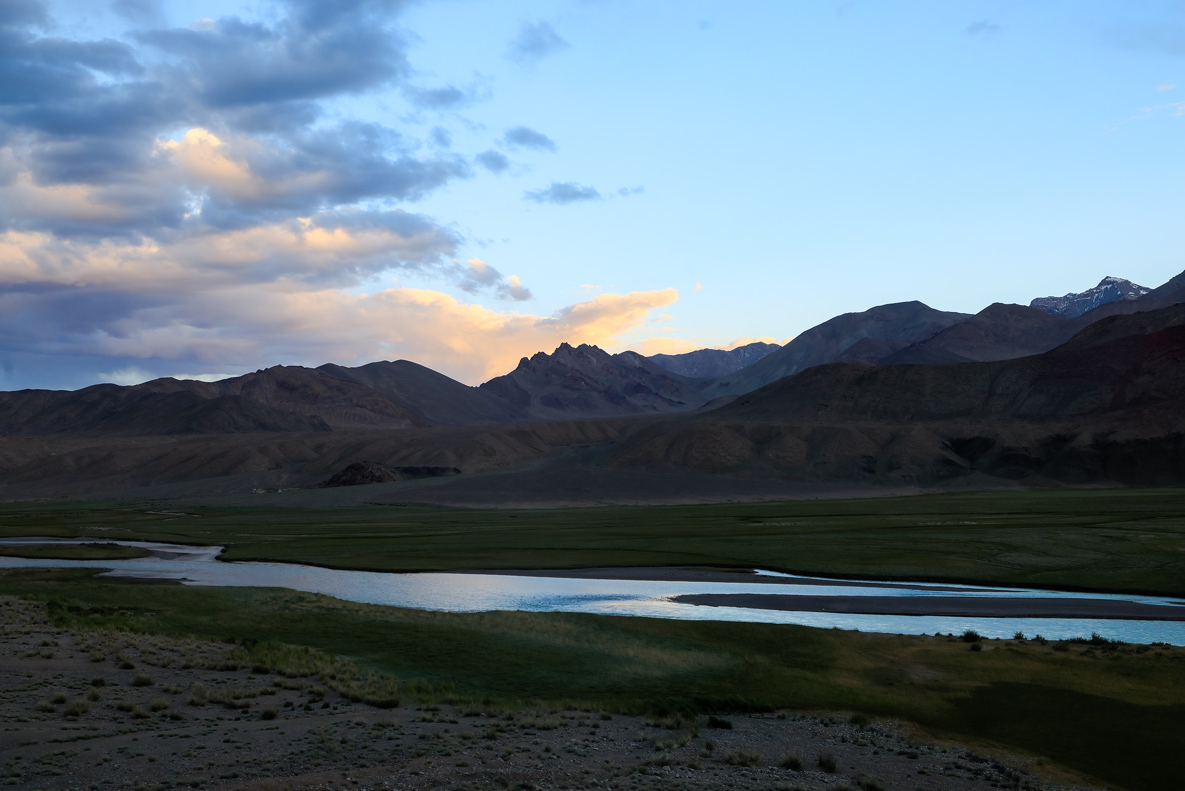
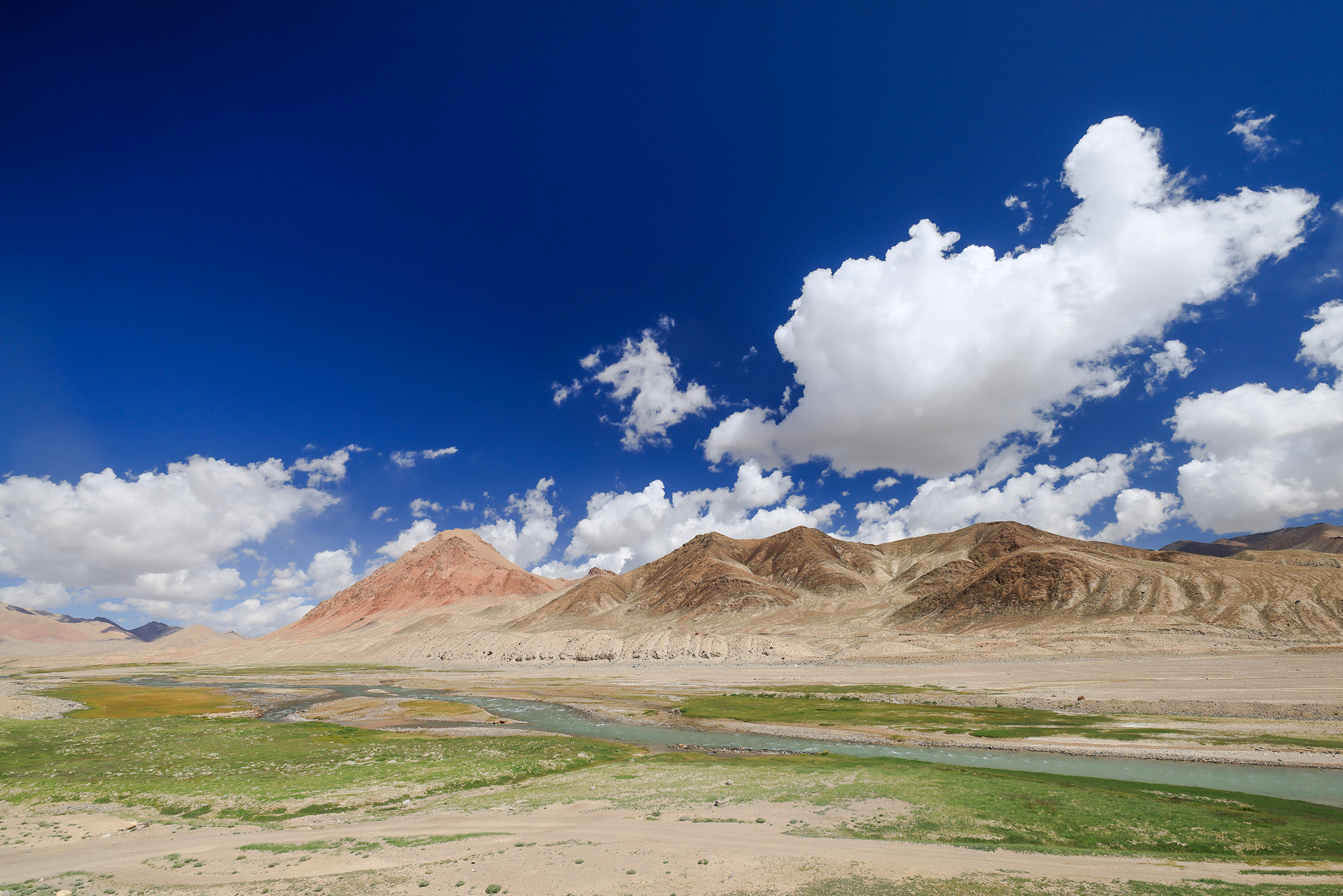
And we made it to Murghab, the highest town in Tajikistan (and of the former Soviet Union), sitting at 3,650 meters above sea level. It is where the Pamir Highway crosses the Bartang river.
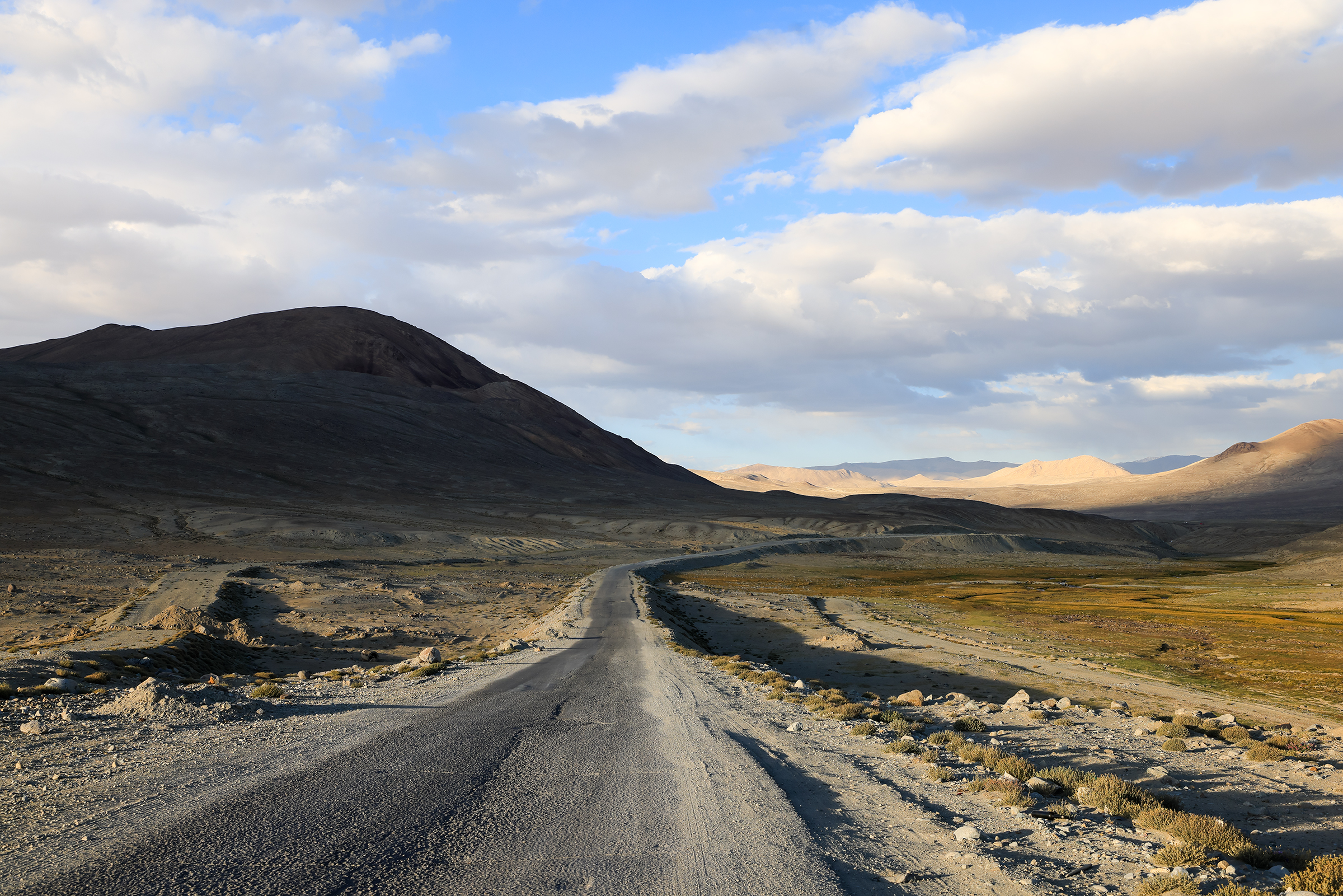
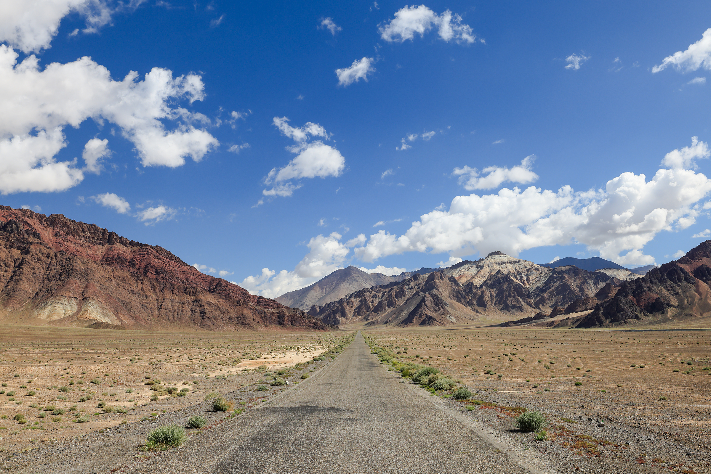
Murghab to Kyrgyzstan
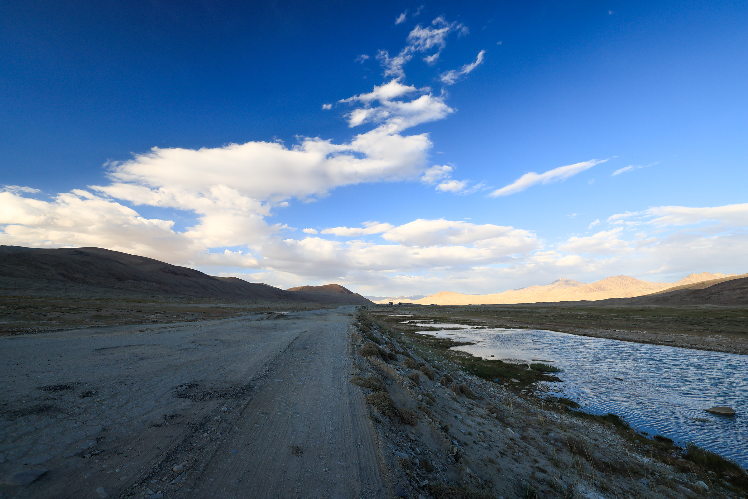
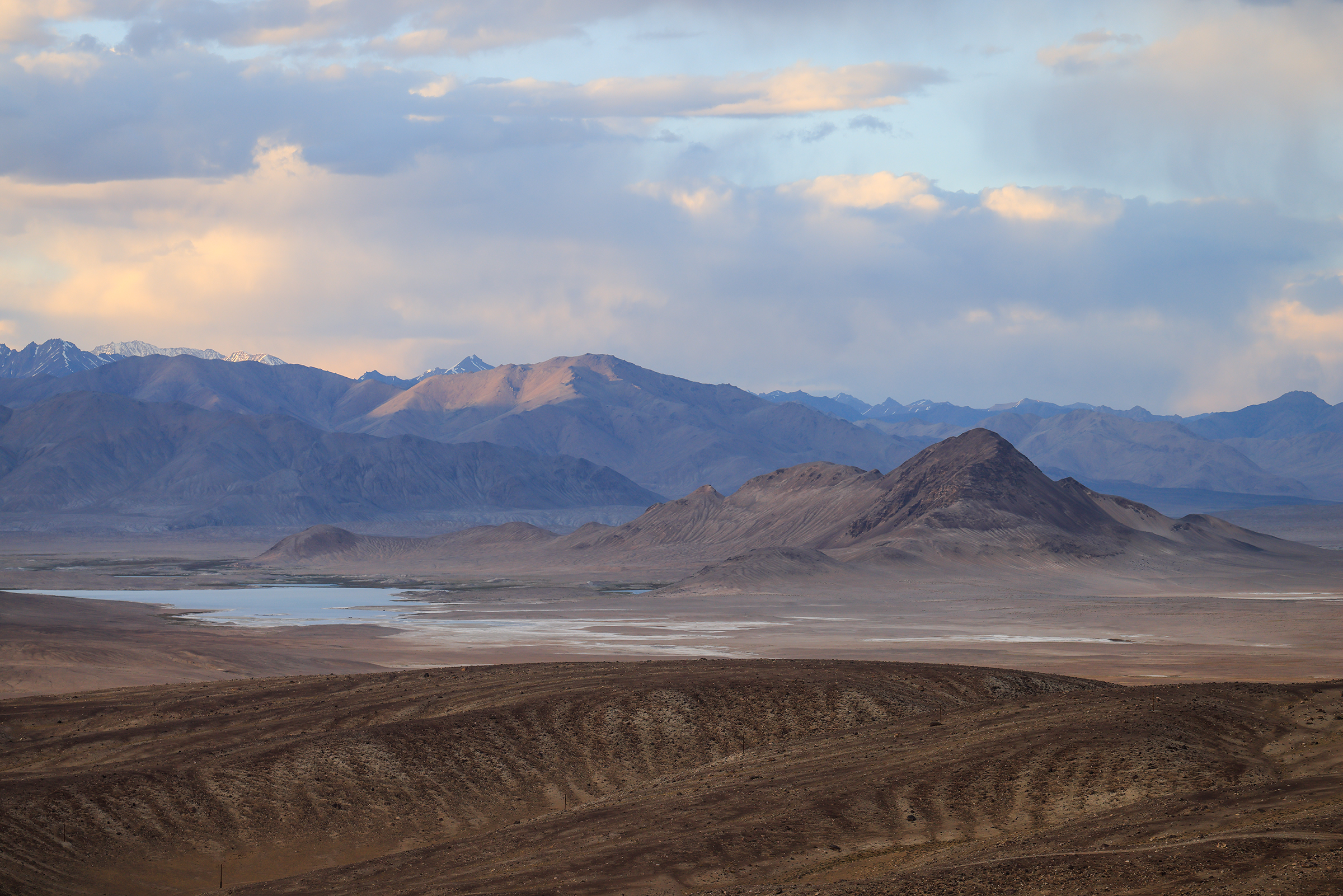
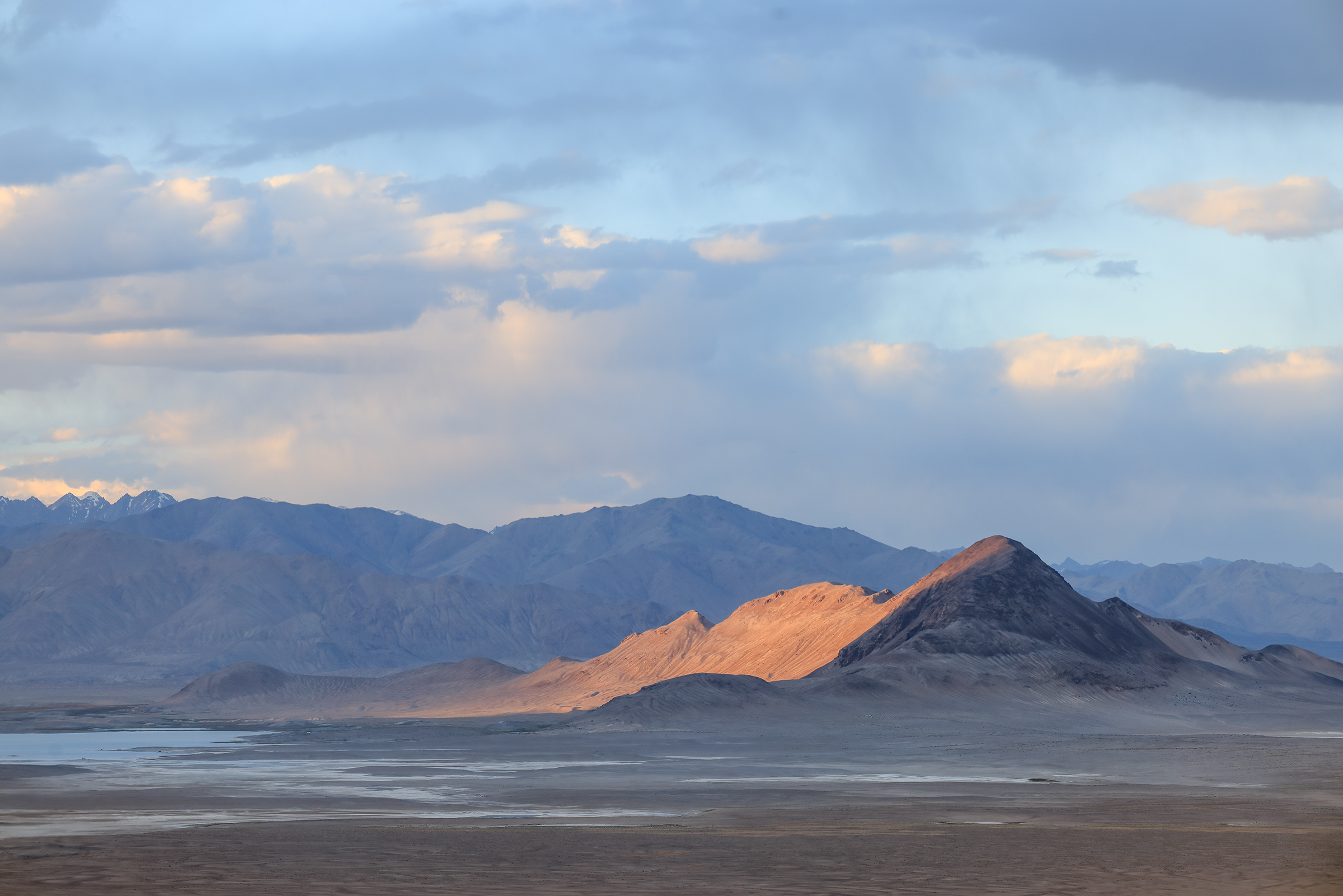
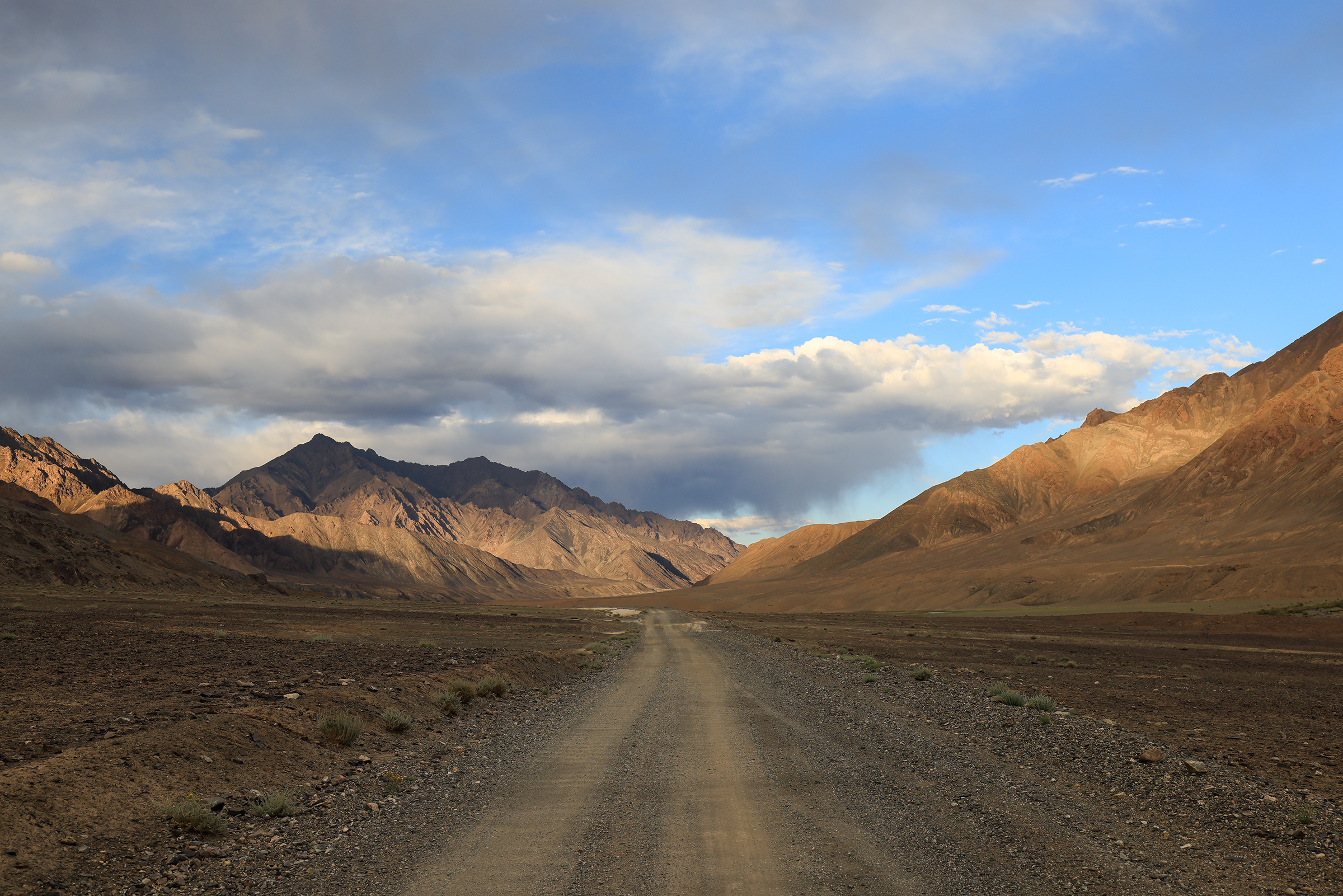
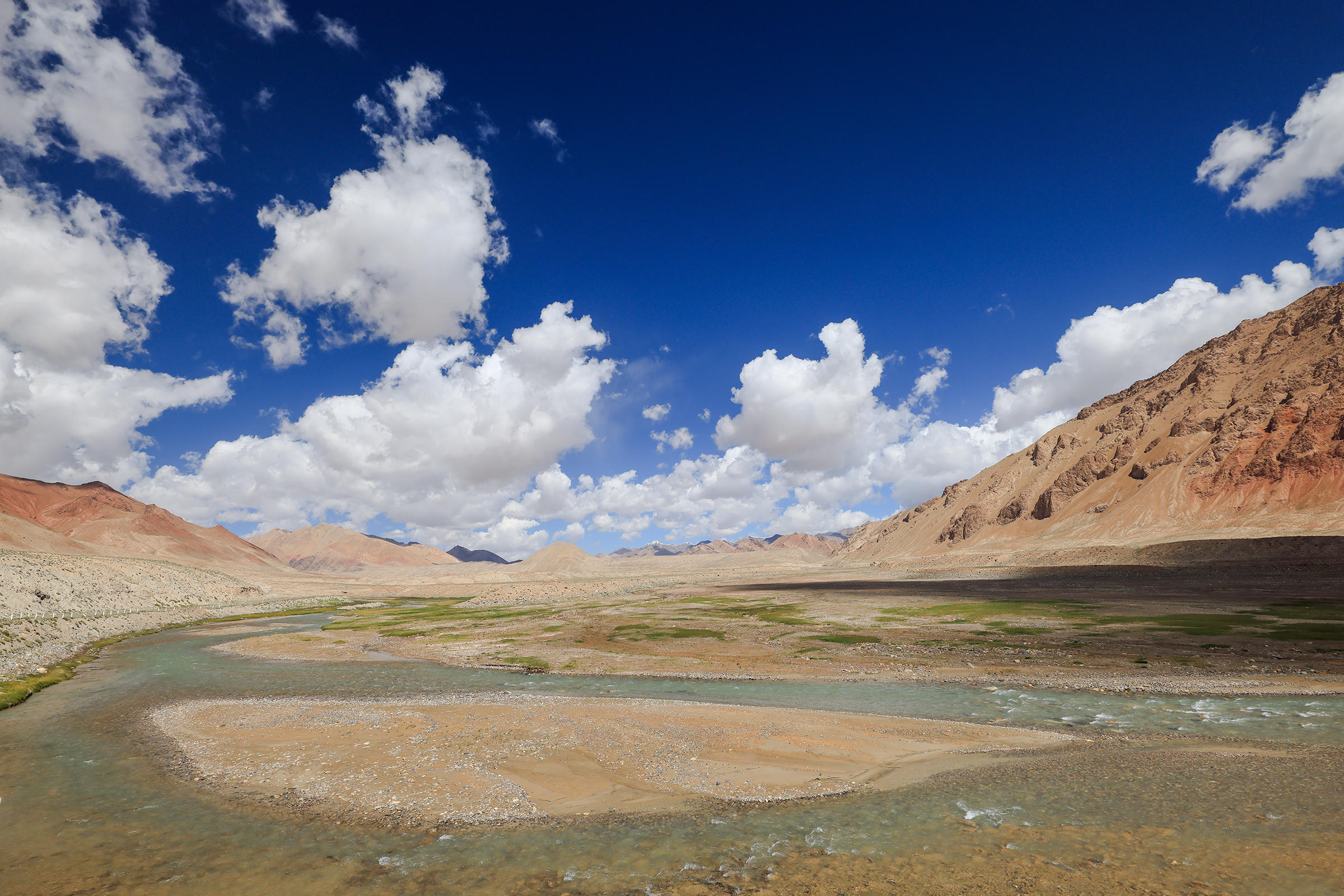
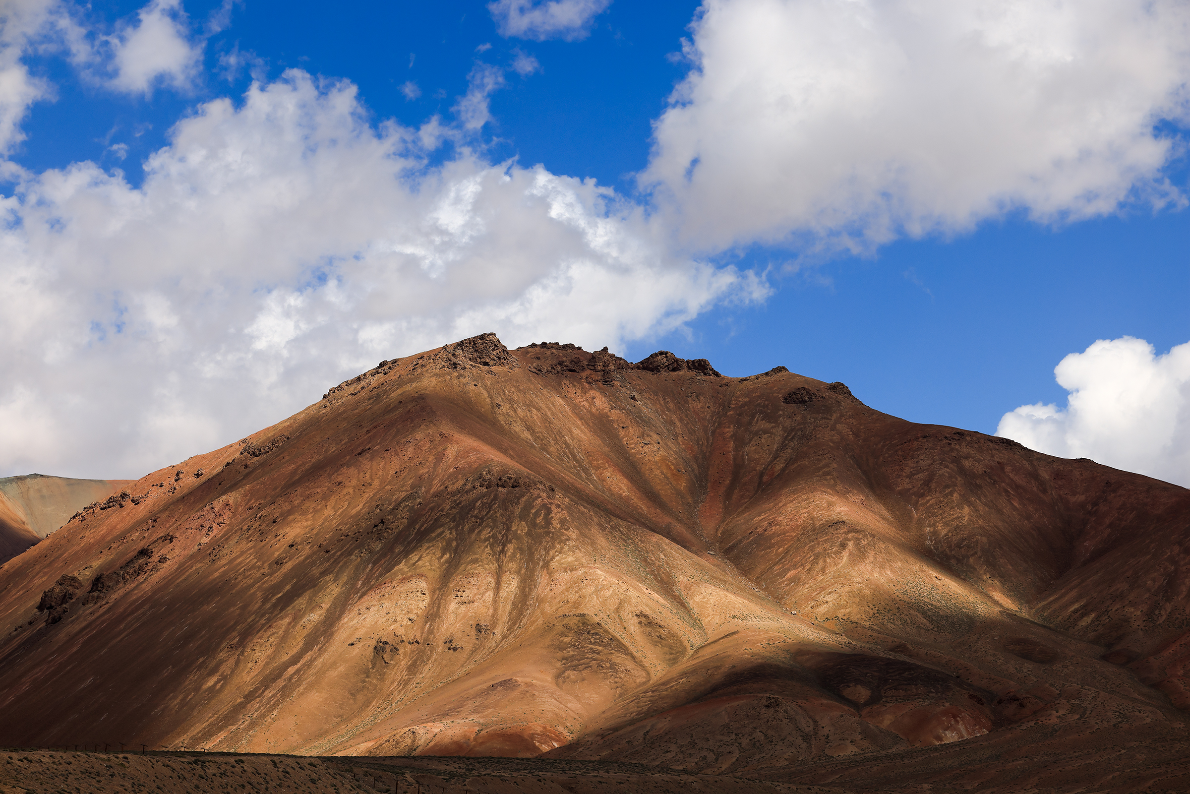
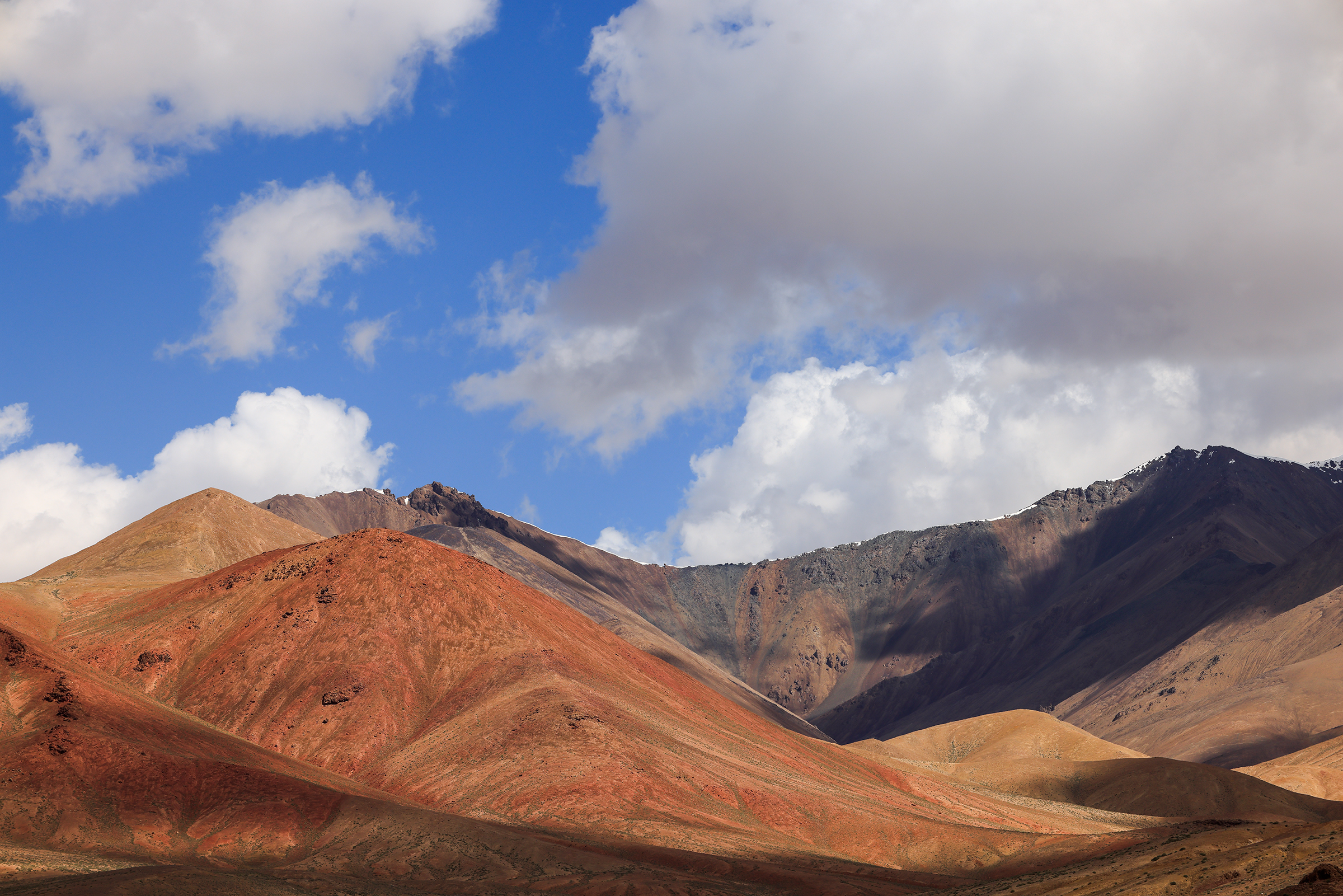
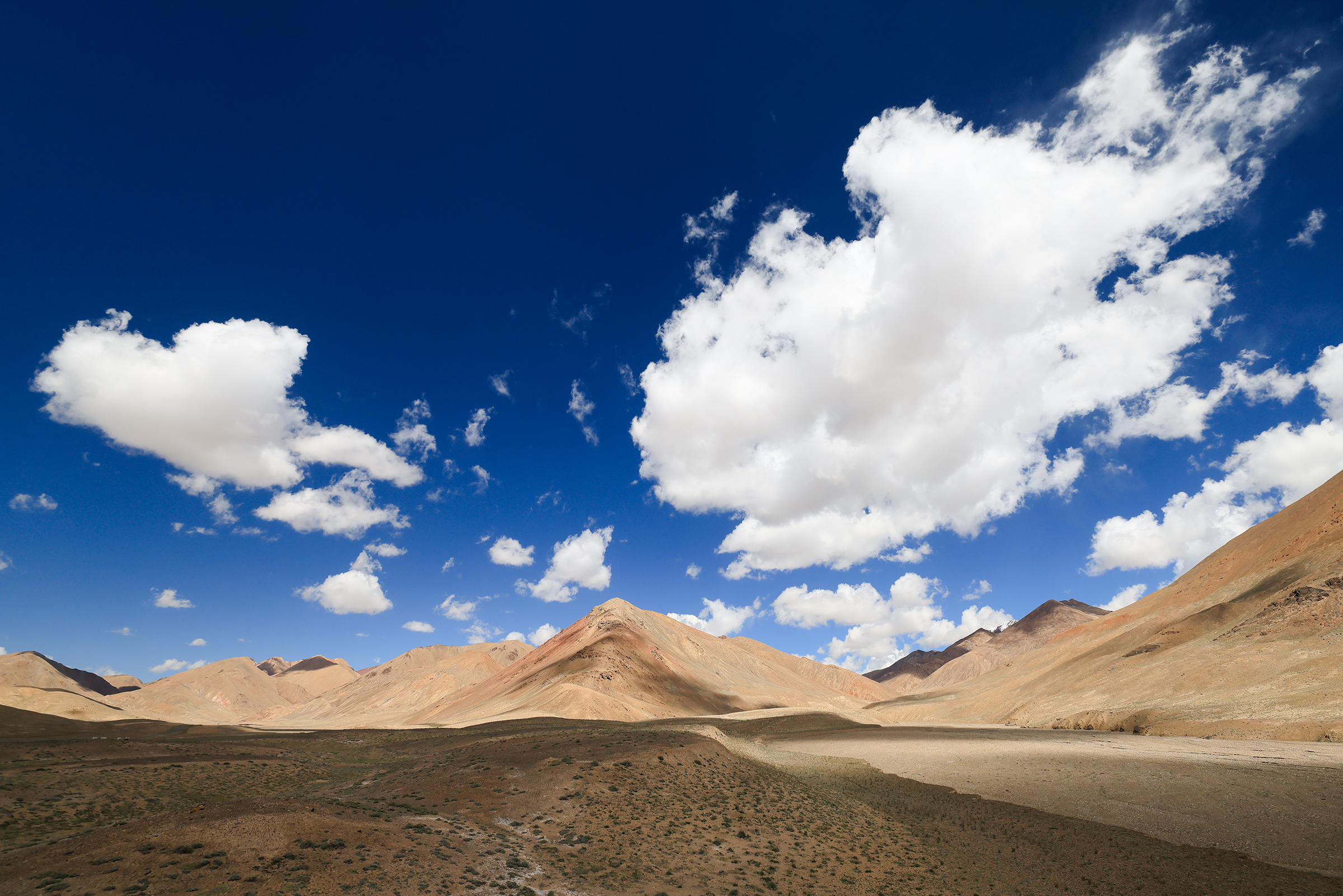
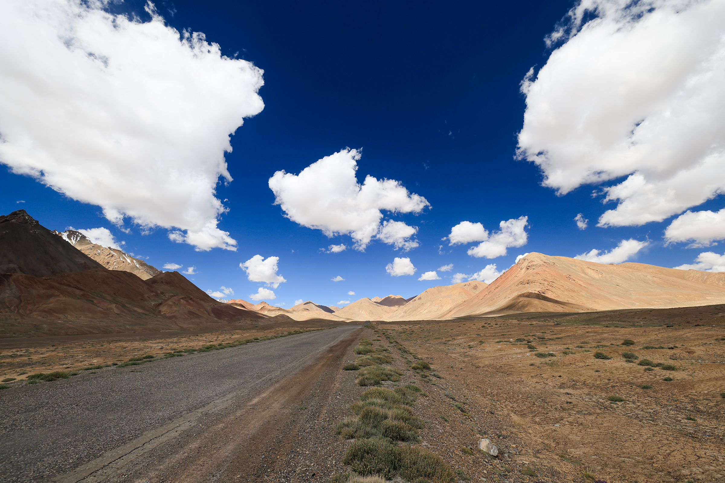
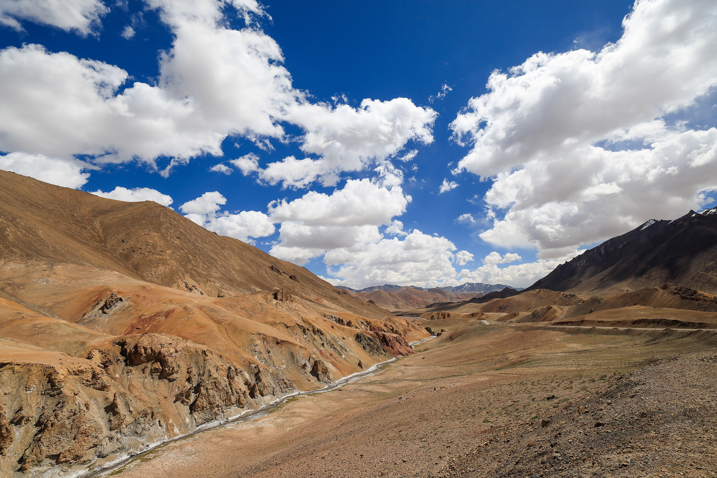
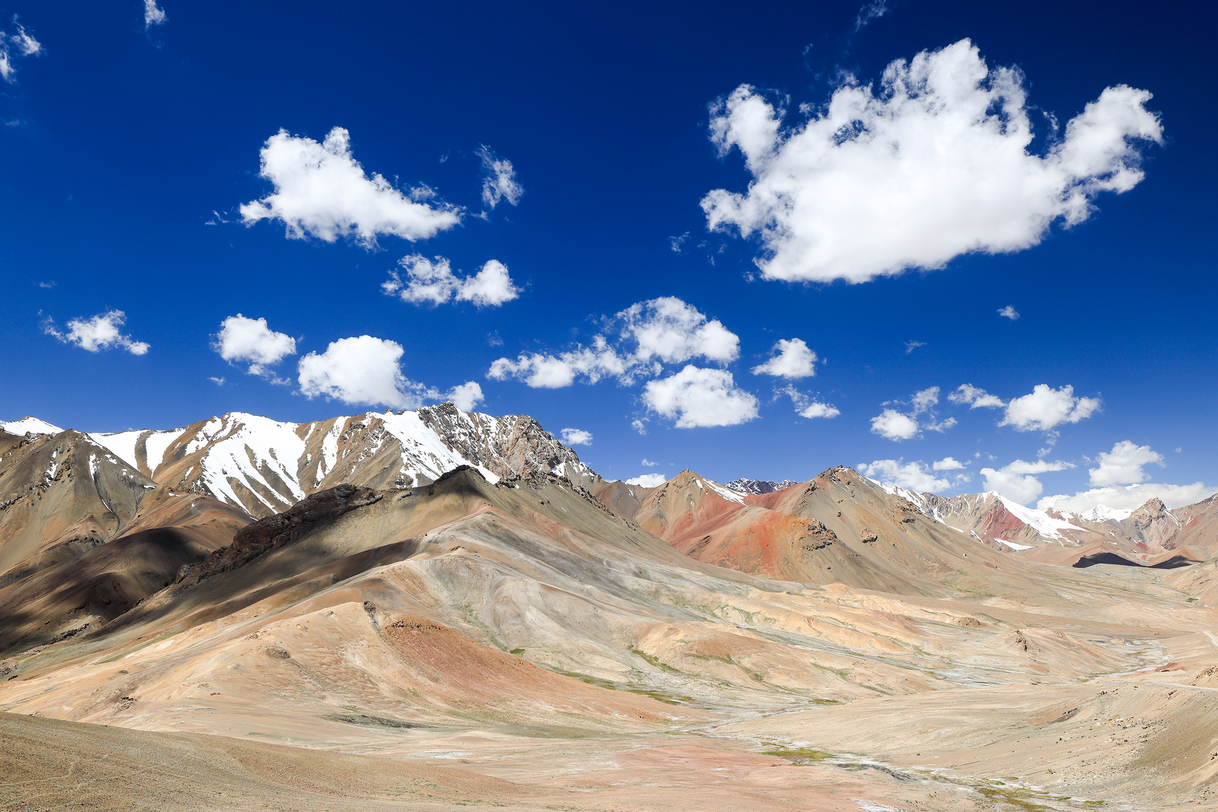
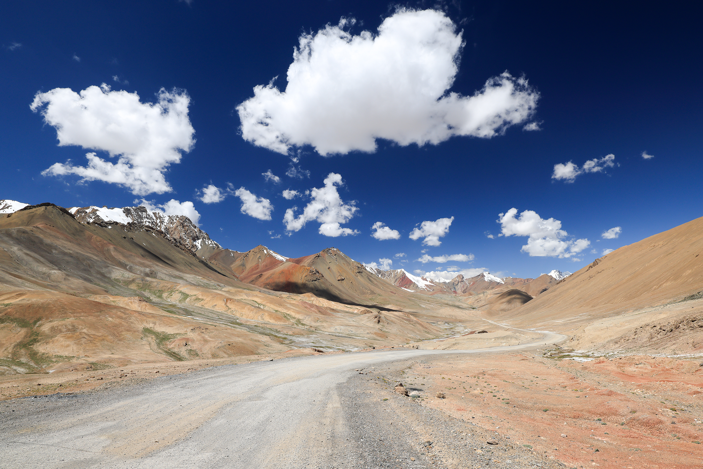
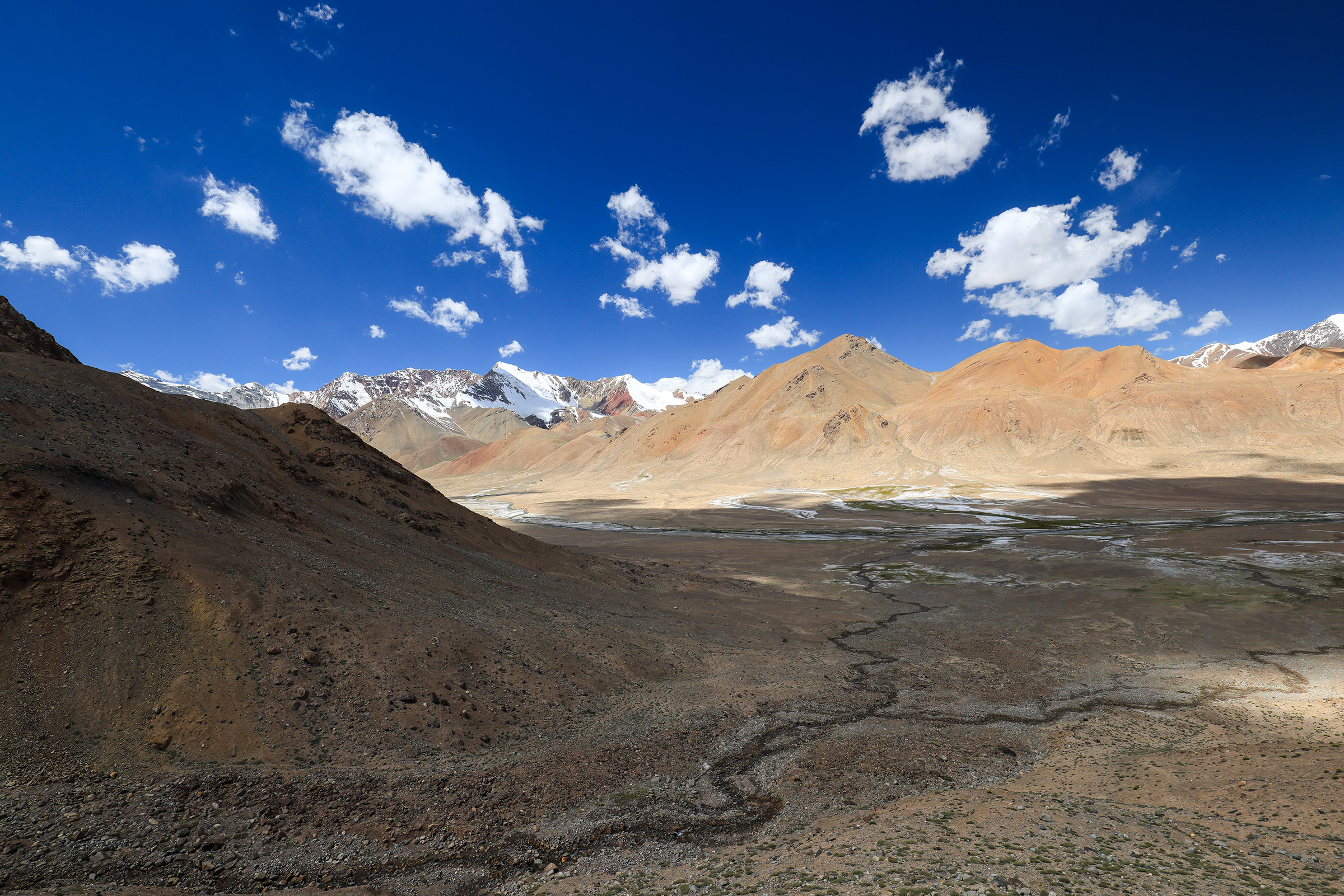
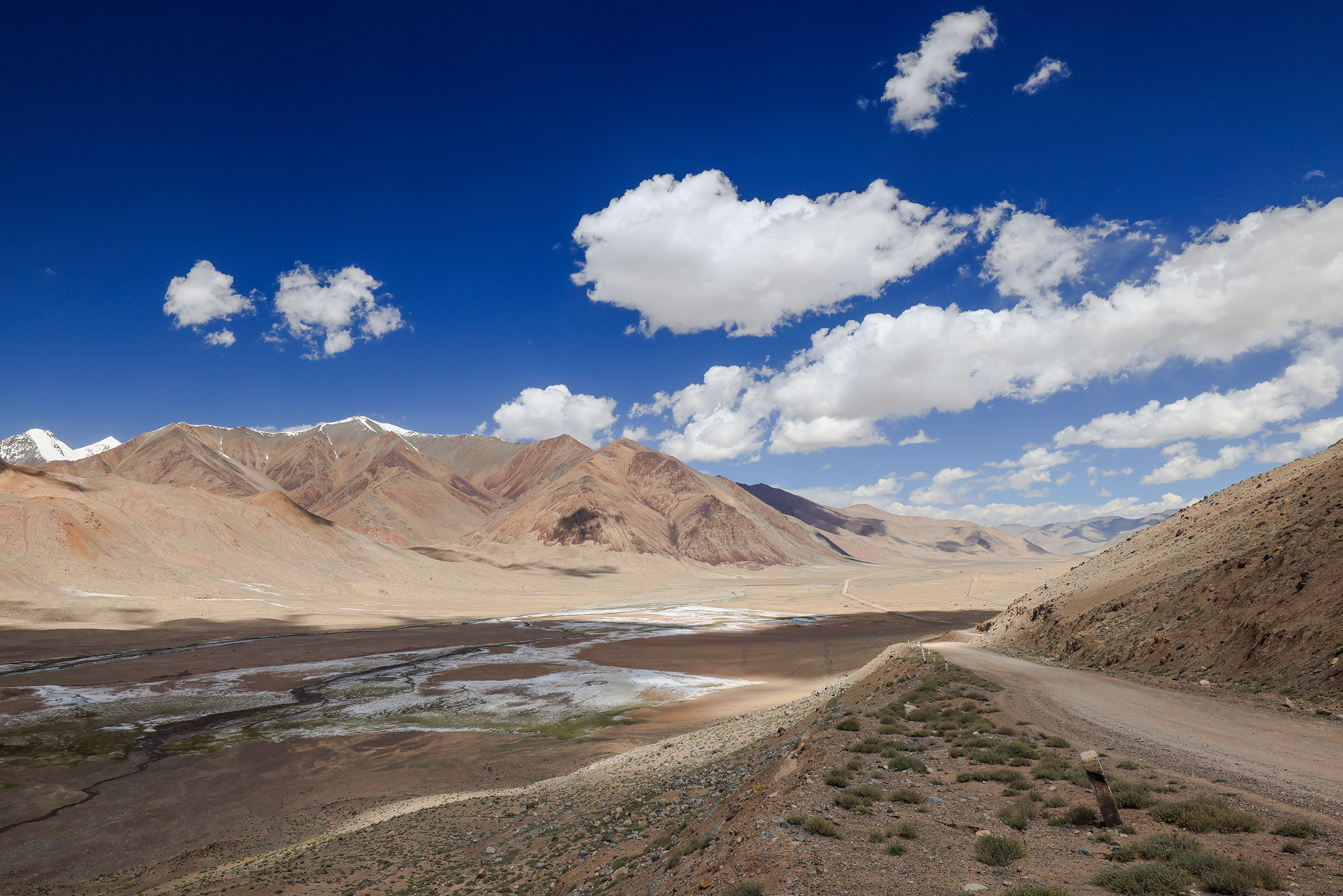
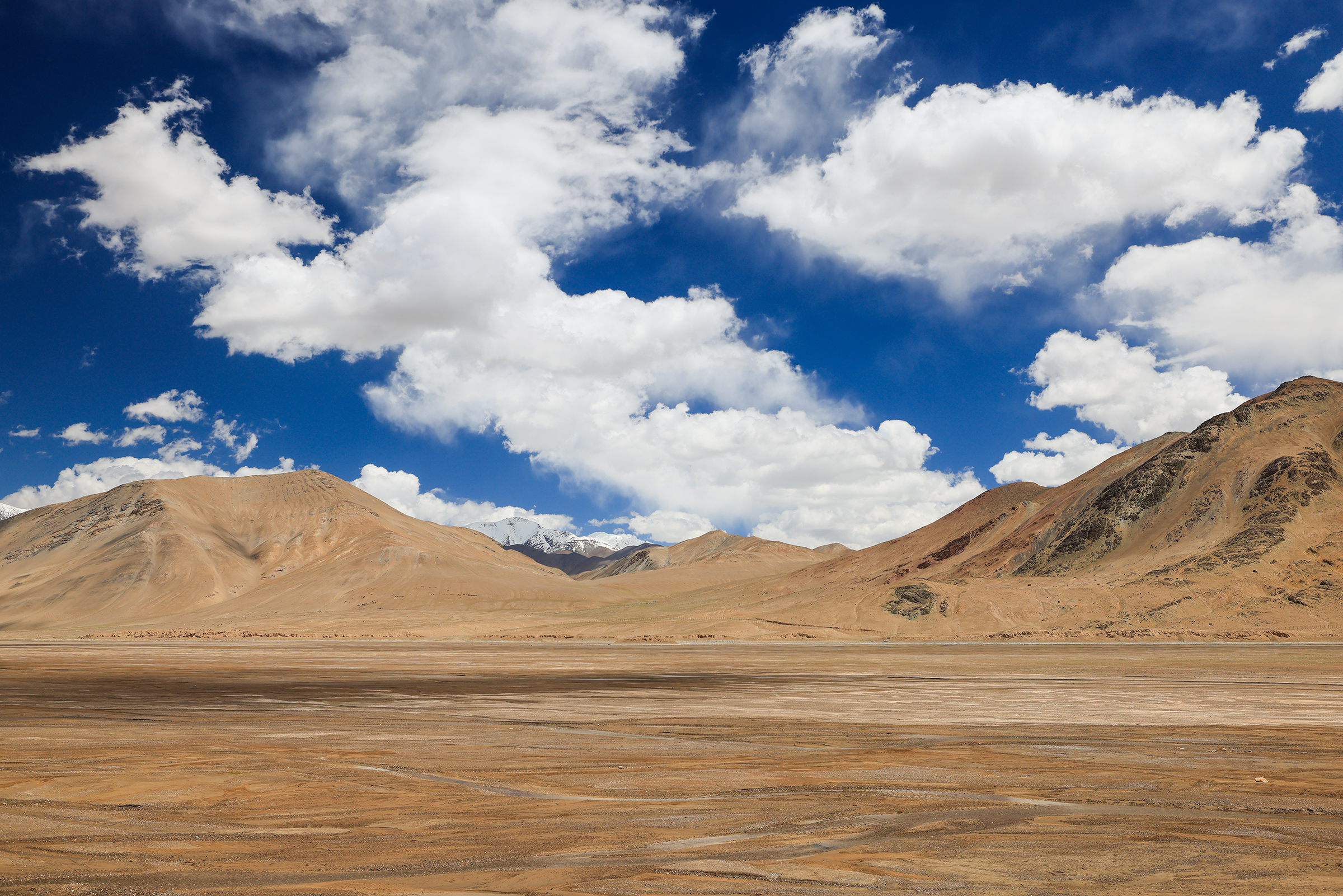
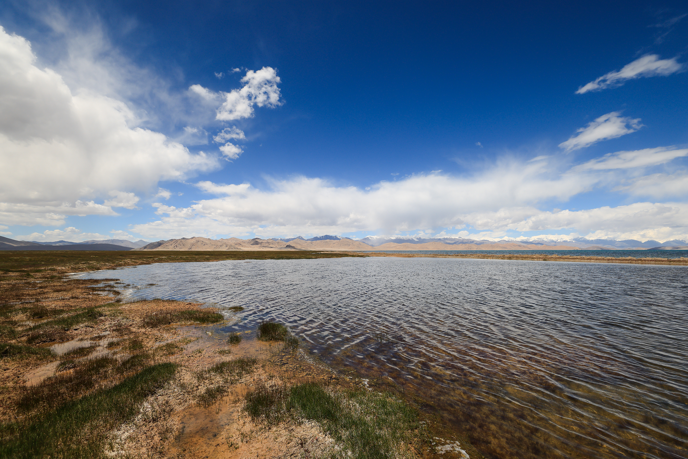
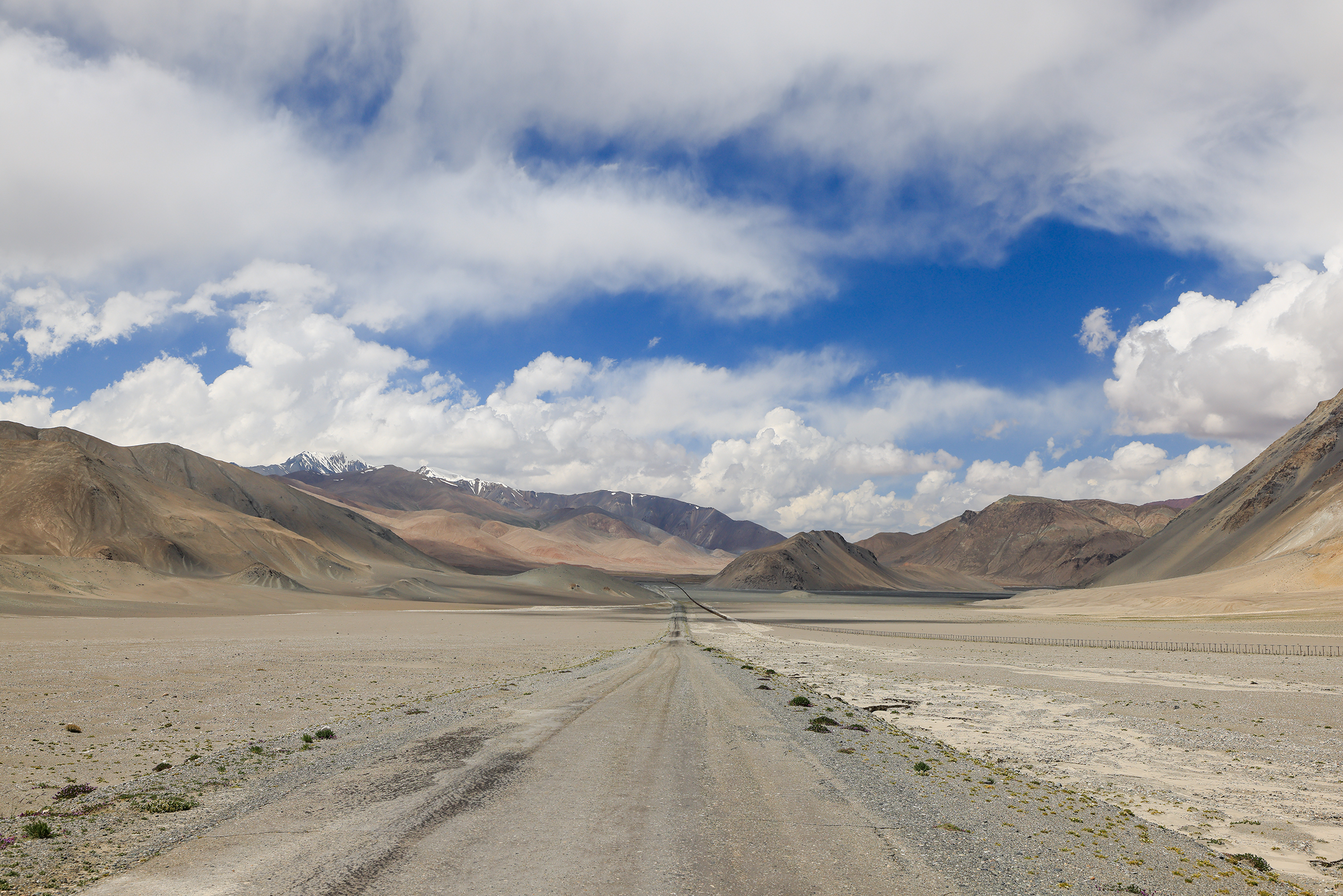
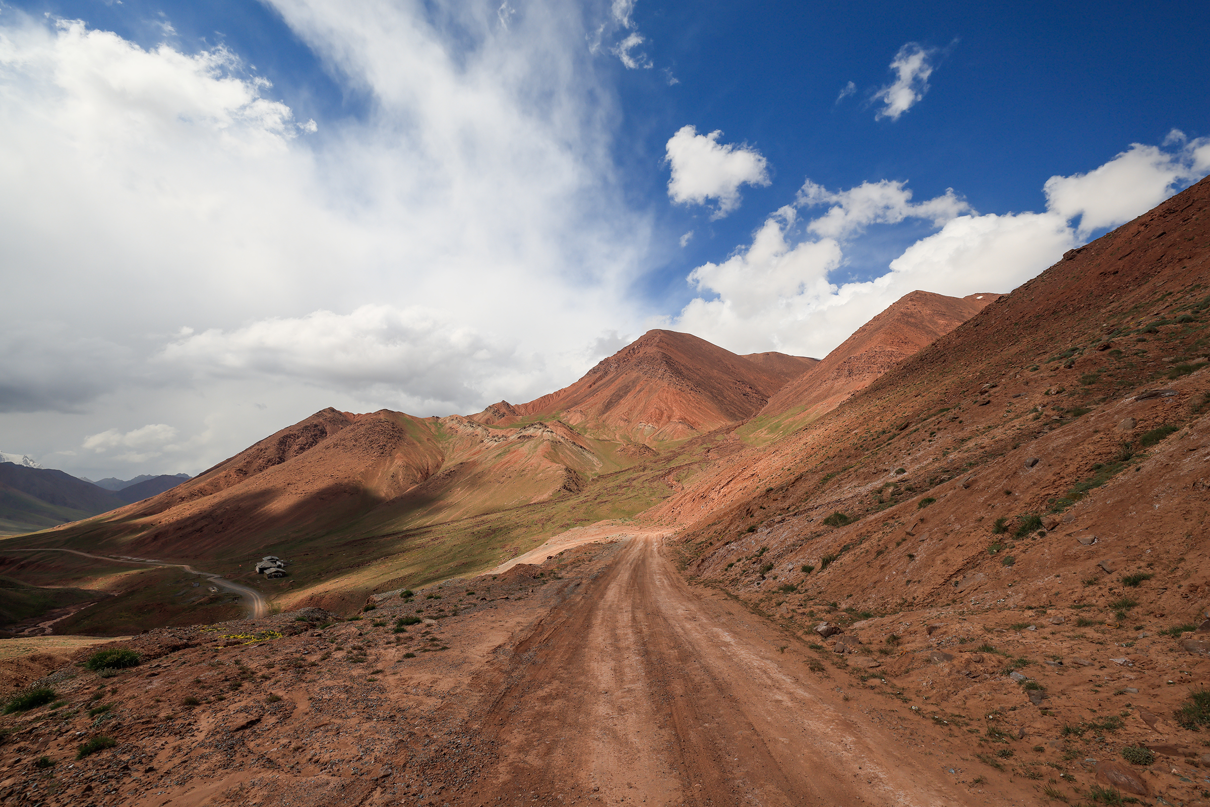
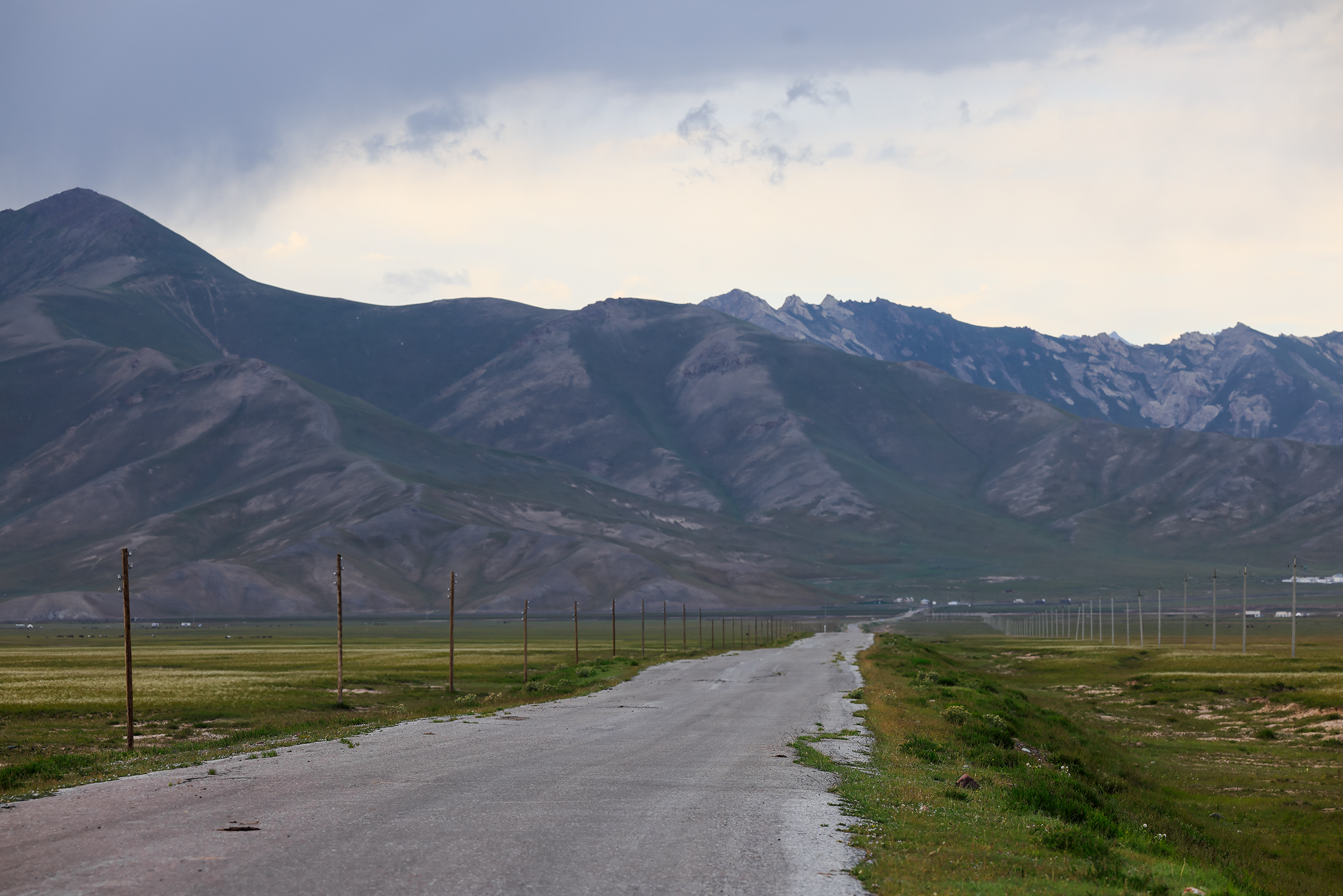
This was the last stretch of our trip in Tajikistan, and it was epic! We were about to go even higher in altitude with landscapes that reminded us of the Atacama Desert in Chile: a deep blue sky, and very dry and desolate scenery.
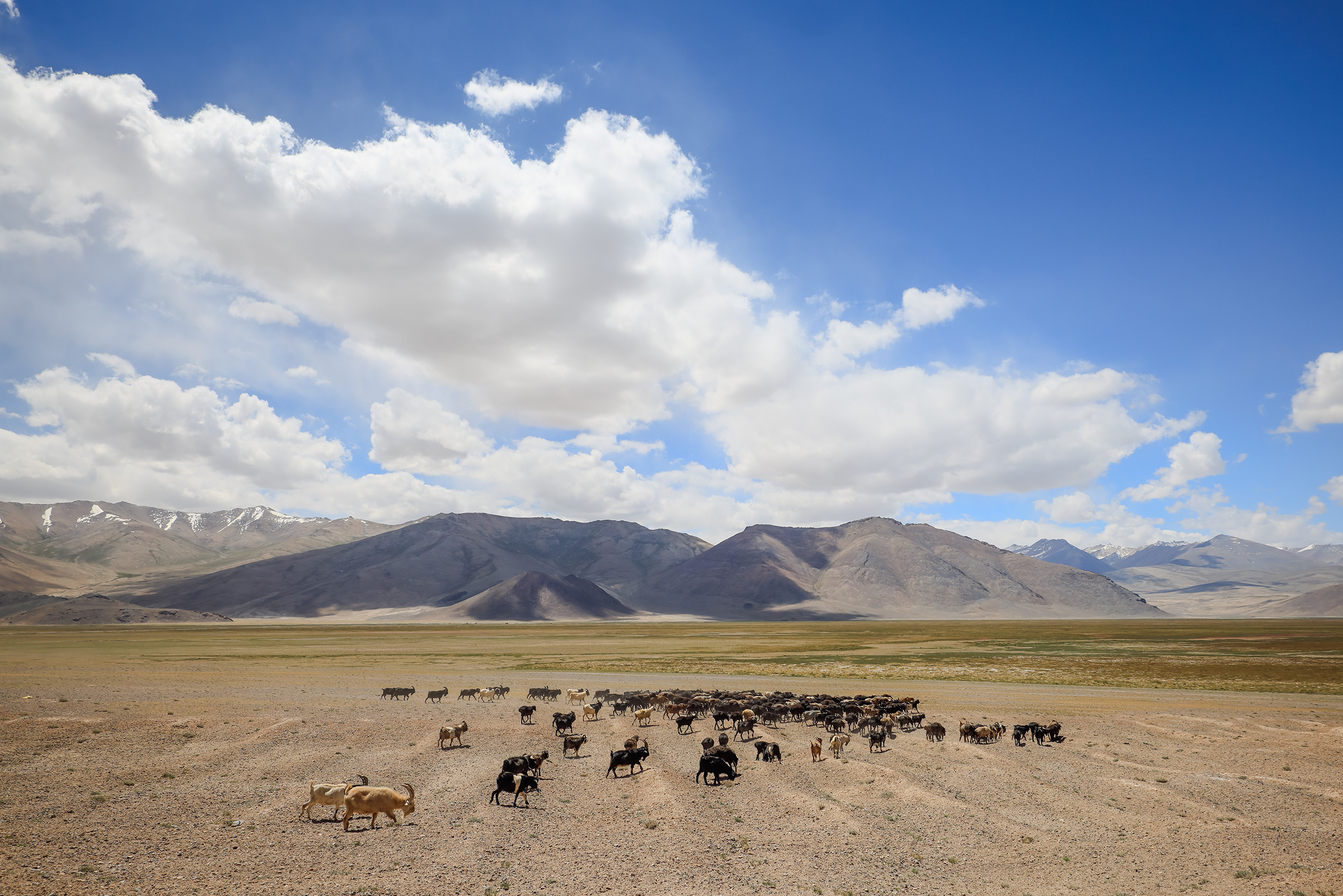
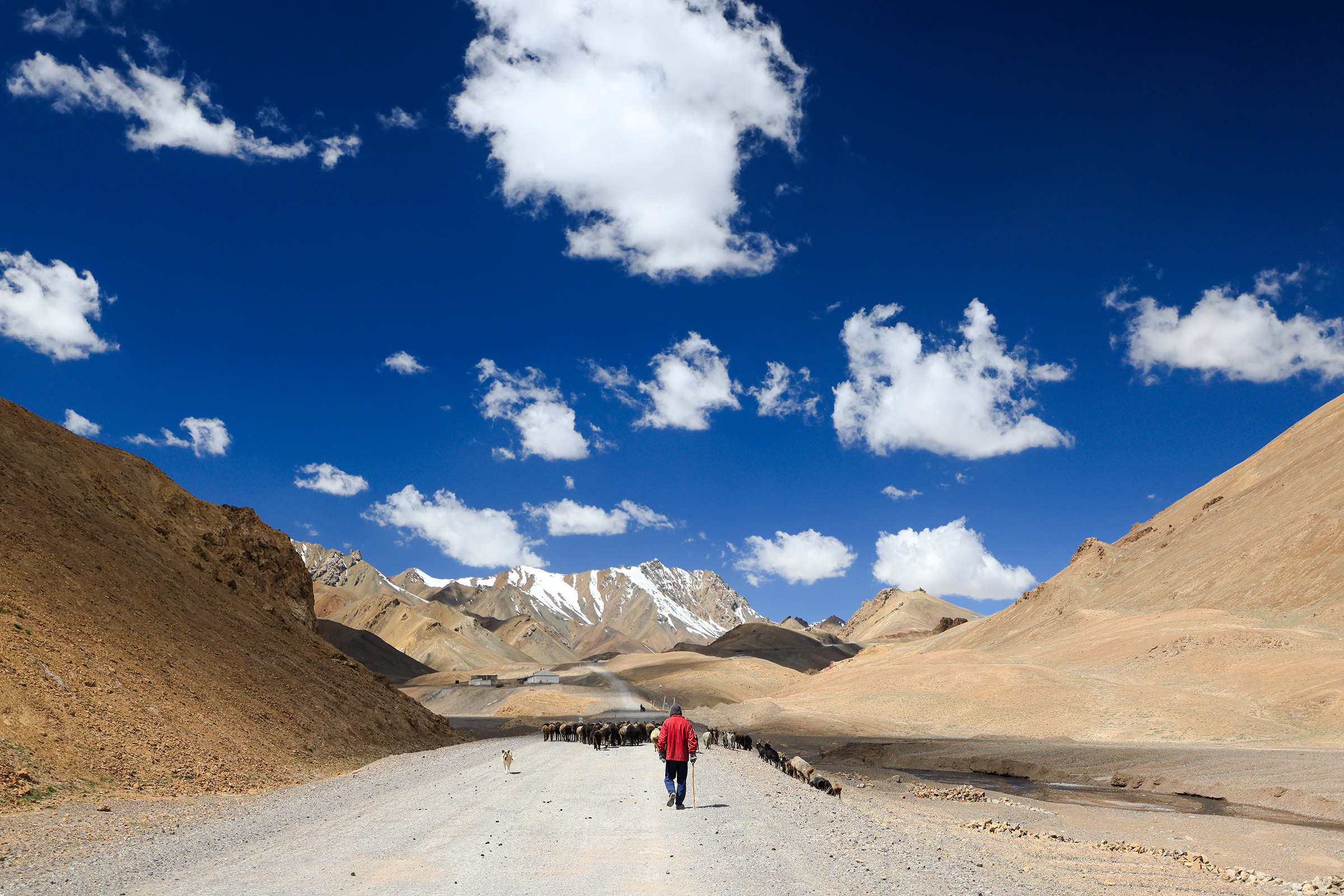
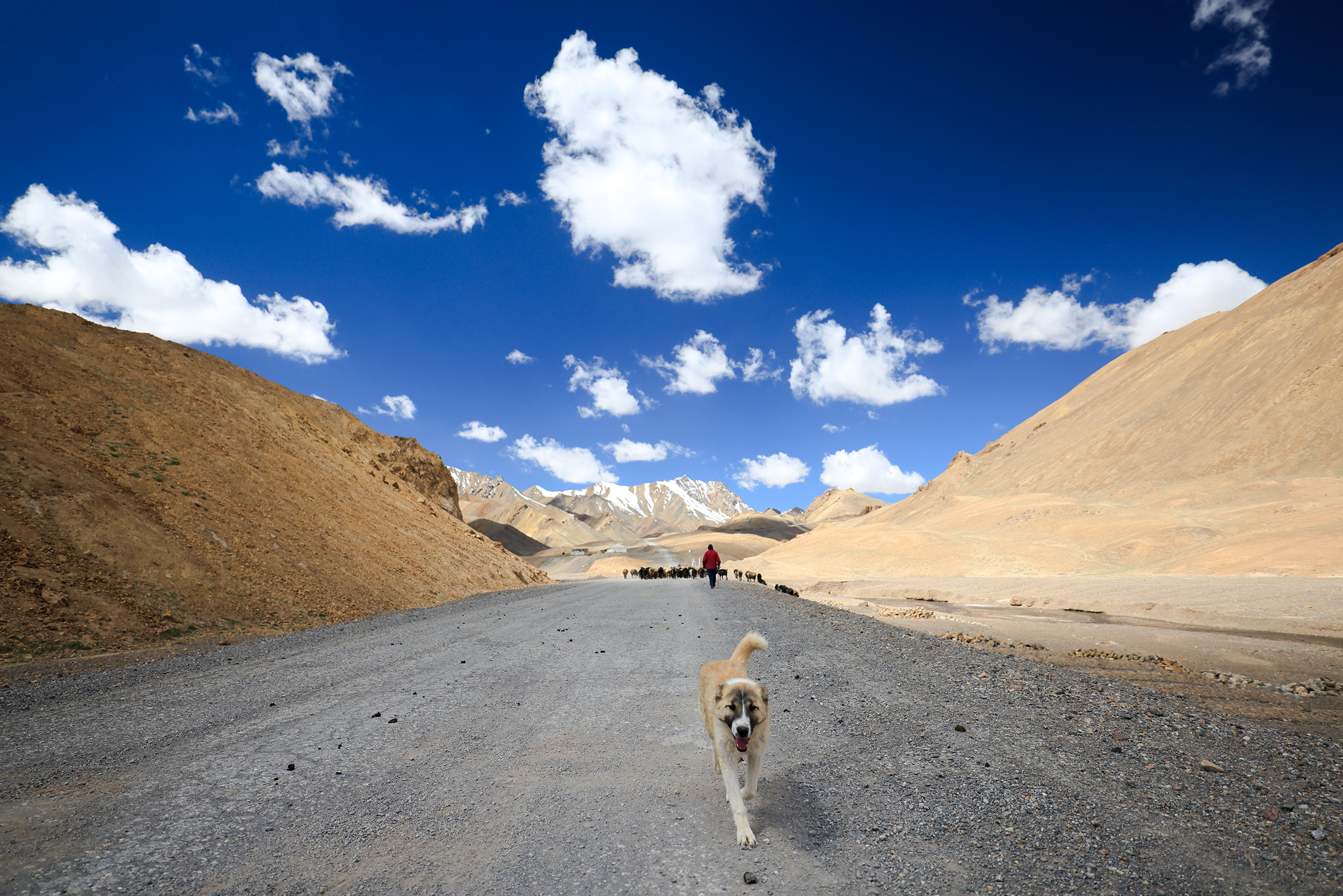
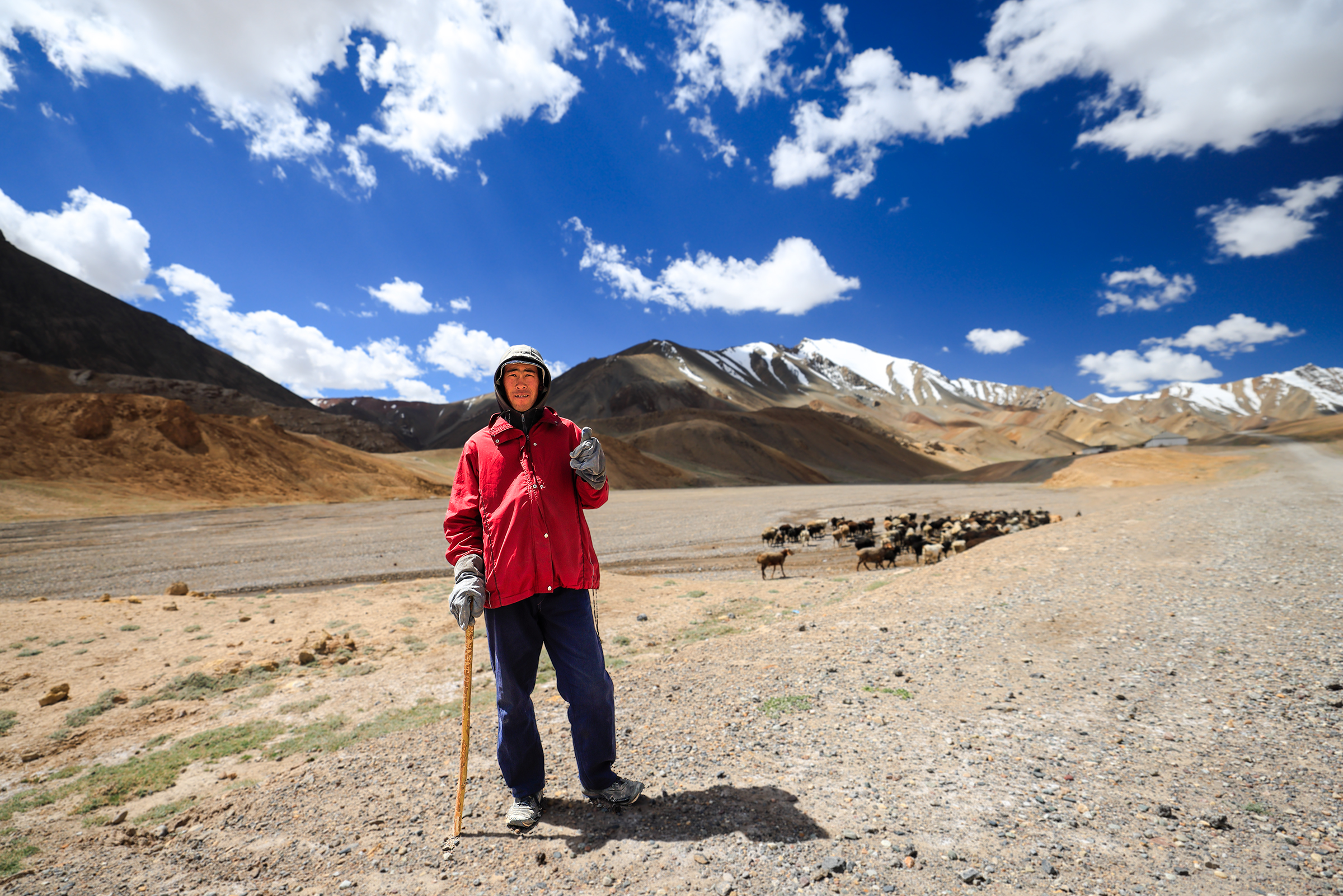
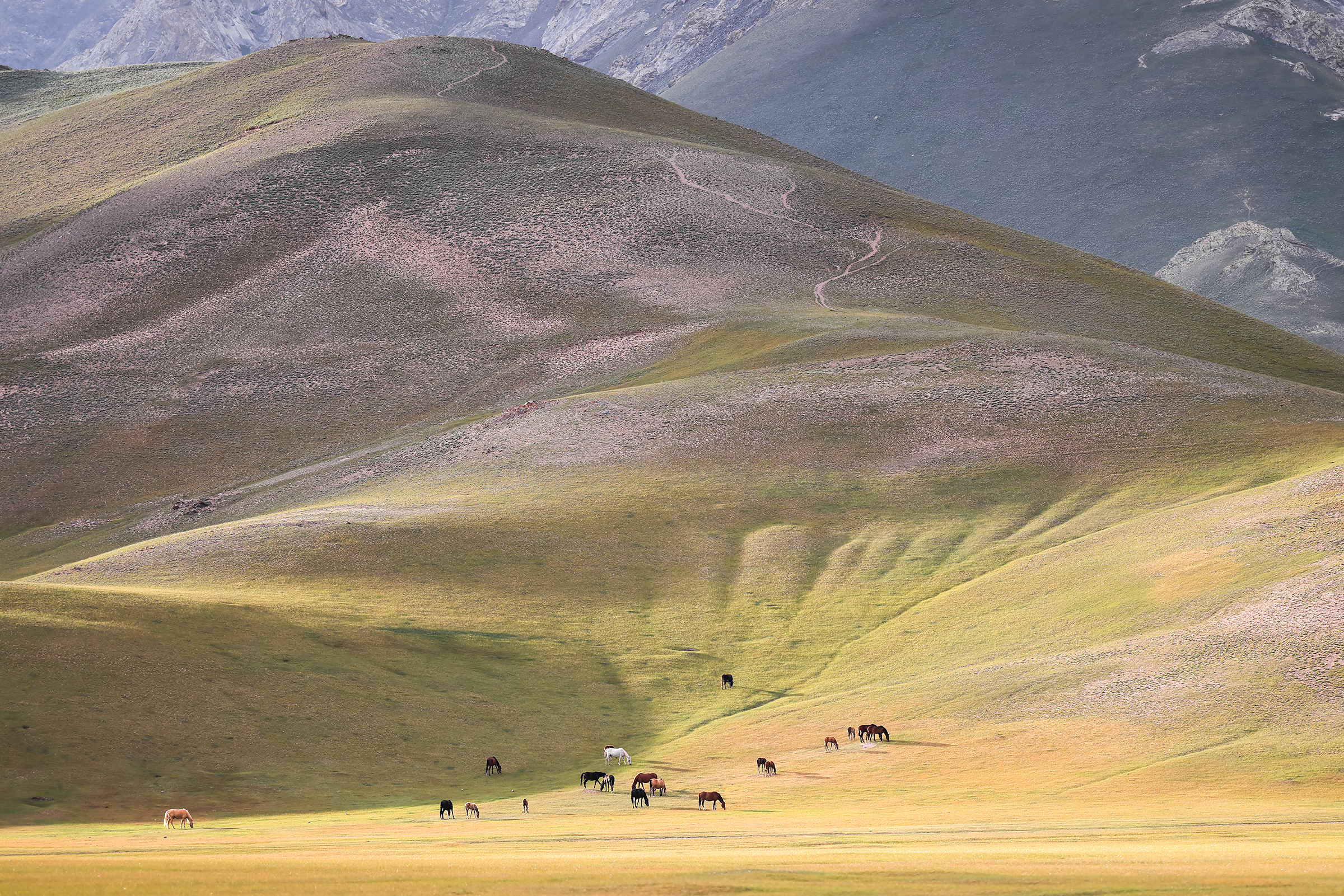
At the highest point on our journey, we encountered this shepherd and his herd.

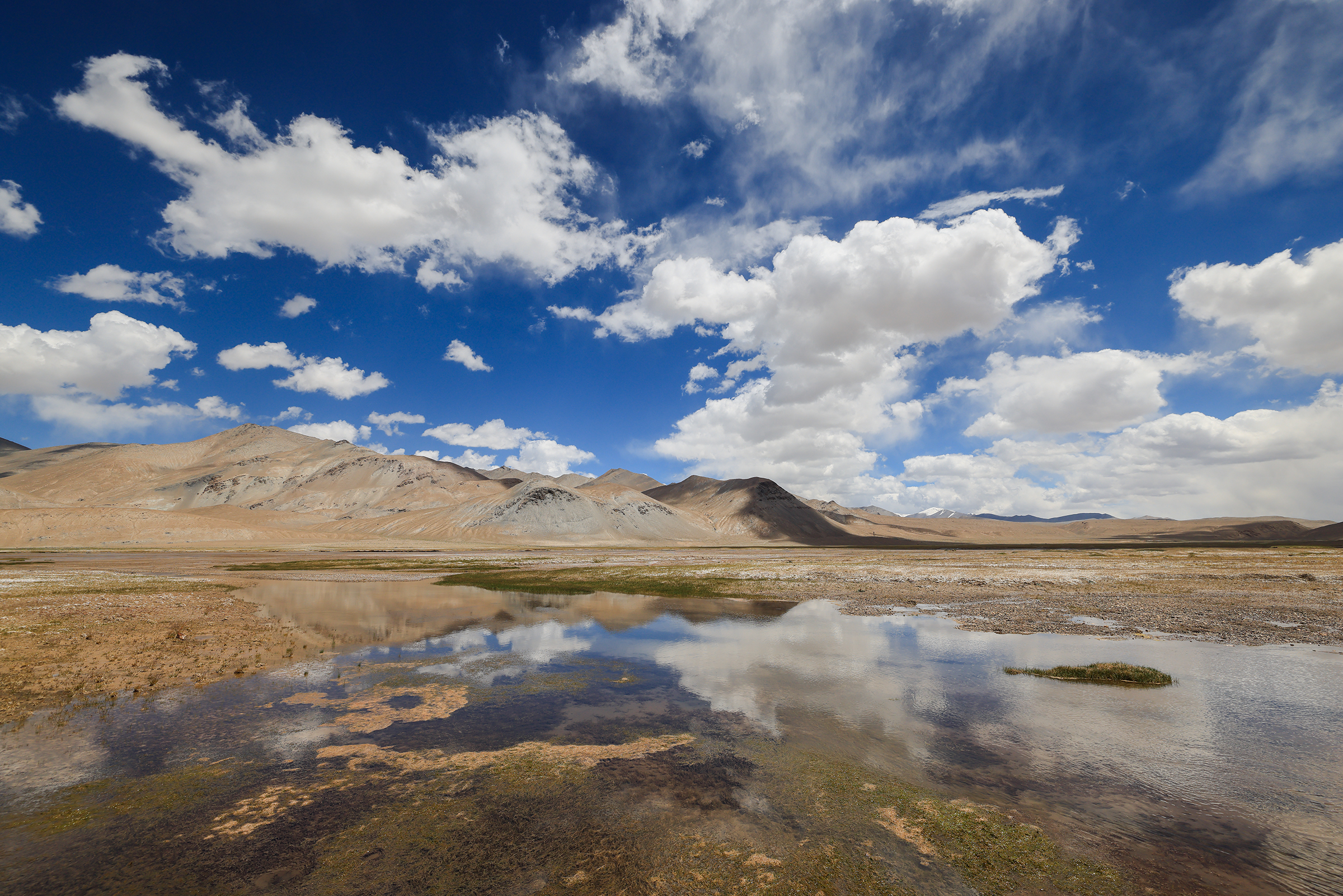
Question: any idea what the white and grey on the following photo is?
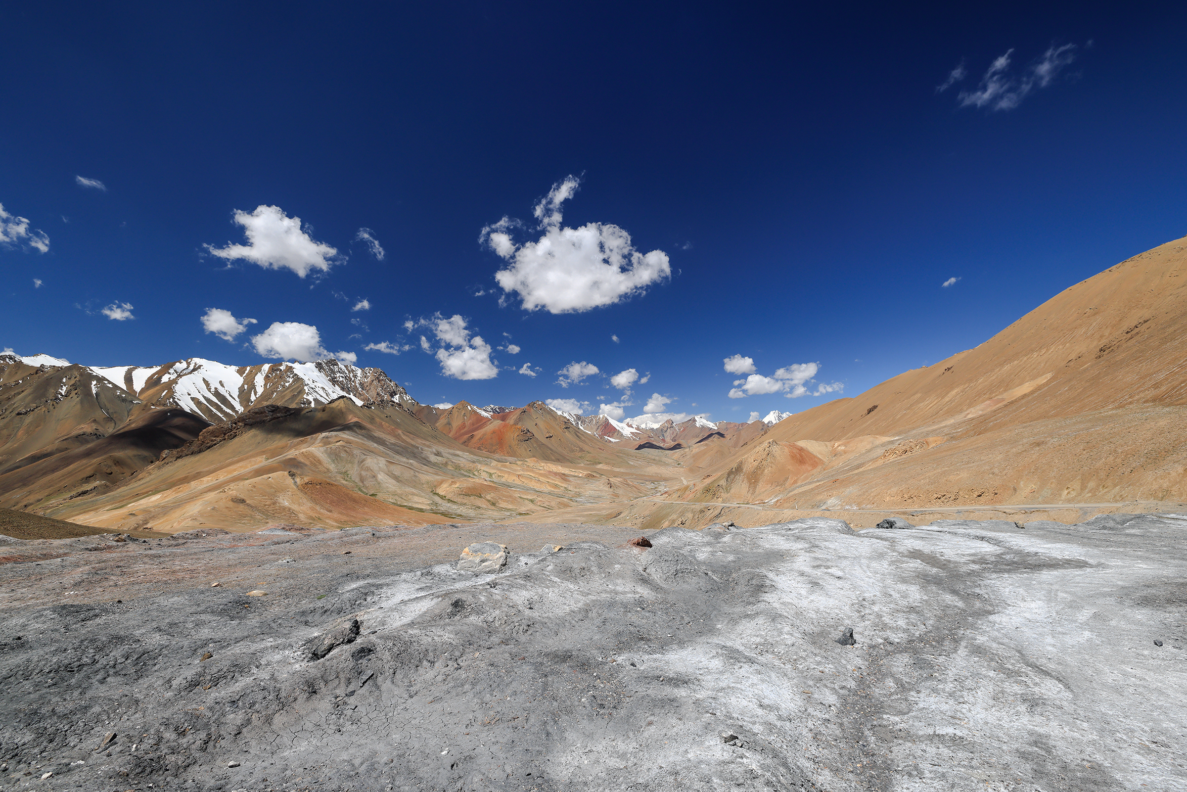
Answer: salt! You got that right. It’s mainly there to make yaks happy.

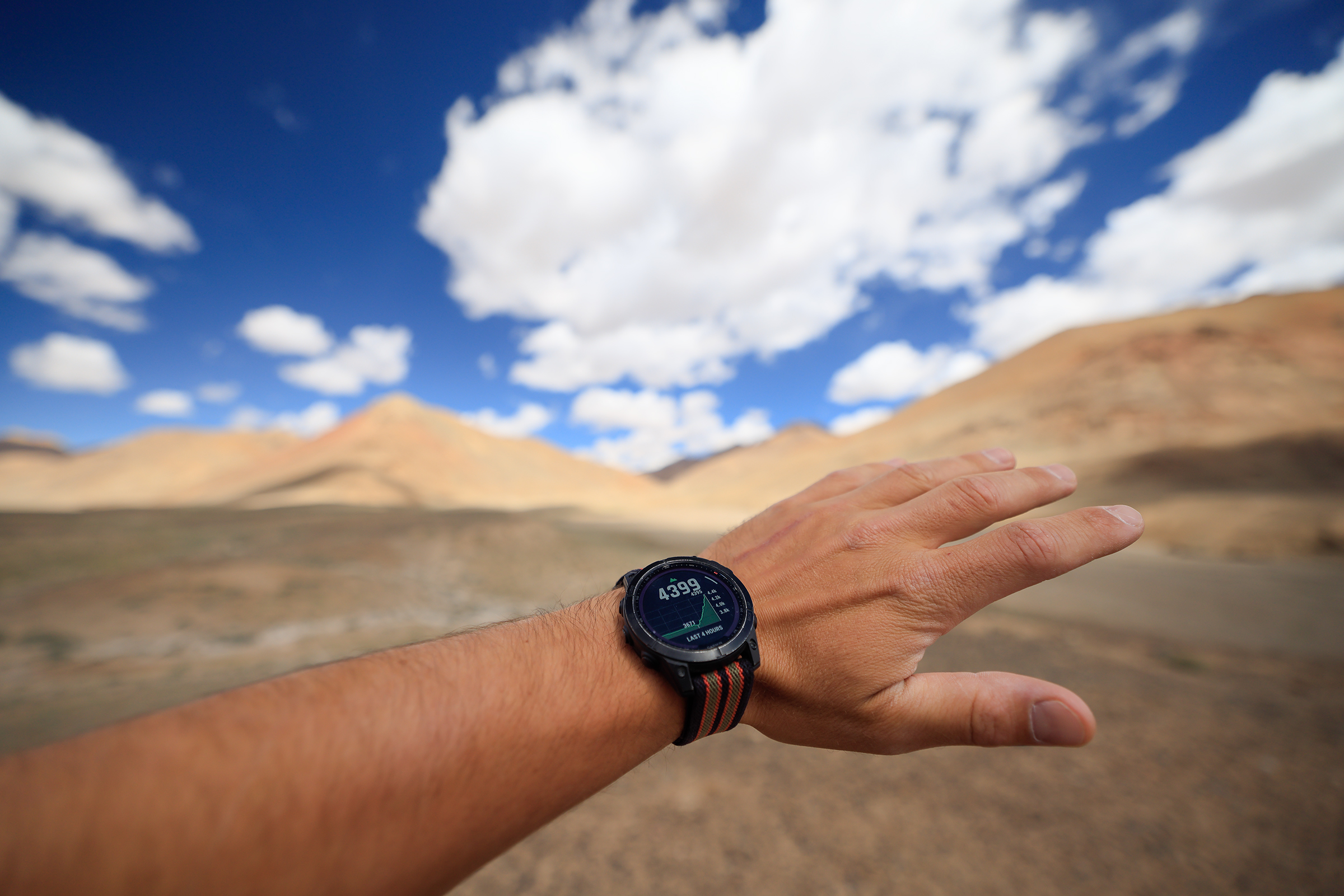
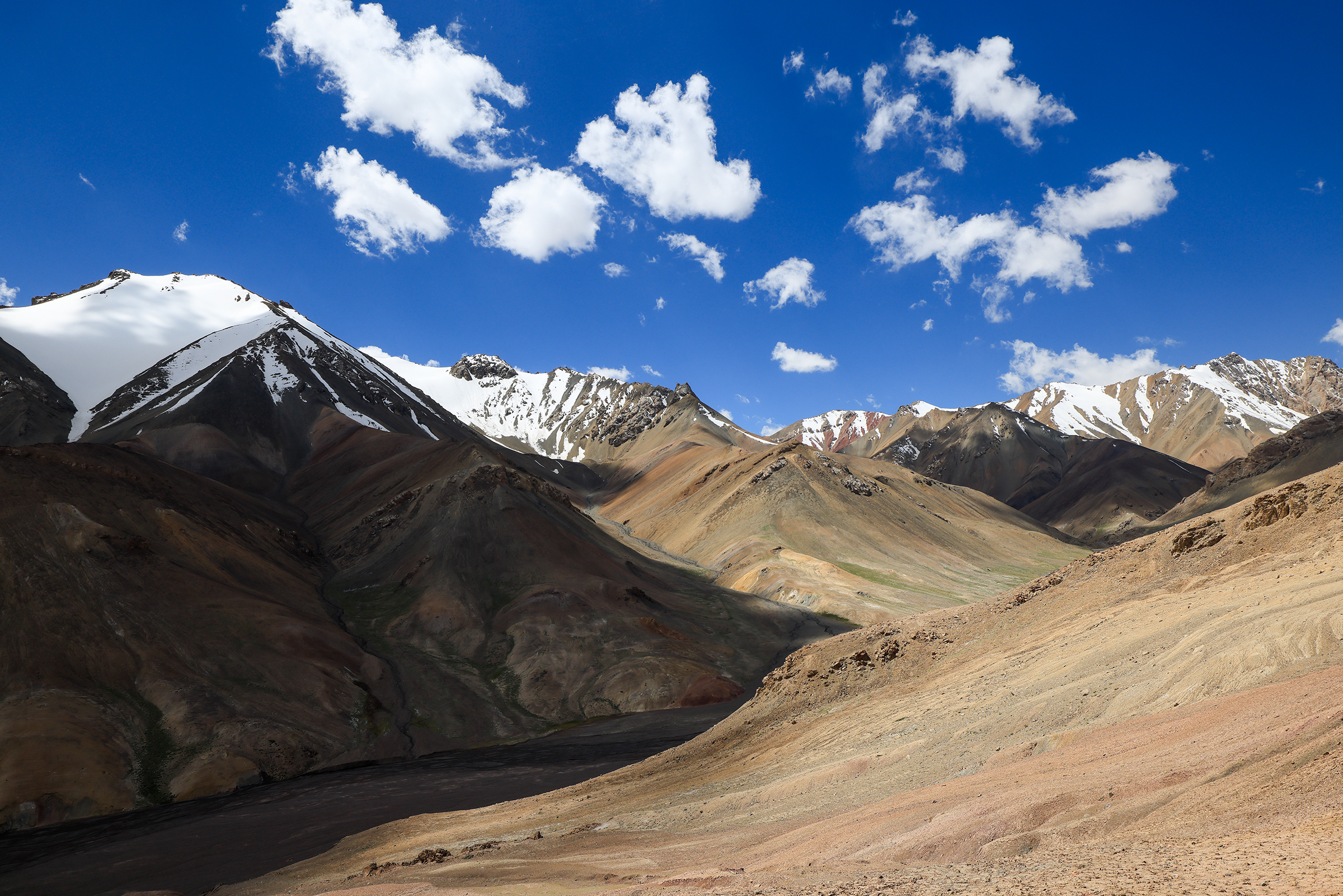
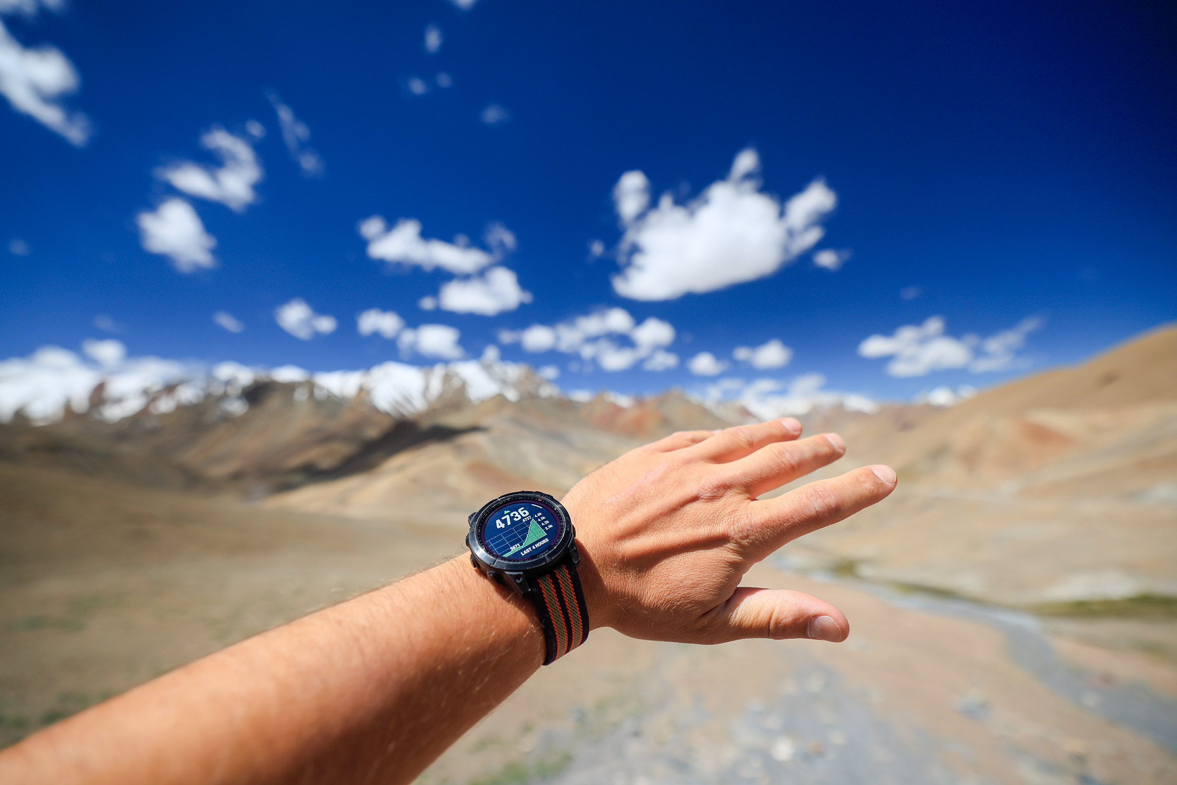
The highest point of this trip: 4,736m, not too far off the top of Mont Blanc!
The sky appears bluer at higher altitudes because the thinner atmosphere scatters light less, making blue wavelengths more dominant. Cleaner air with fewer pollutants and haze further enhances the vividness. Rayleigh scattering highlights shorter wavelengths like blue, while our eyes are less sensitive to violet. These factors combine to create a deeper, richer blue sky.

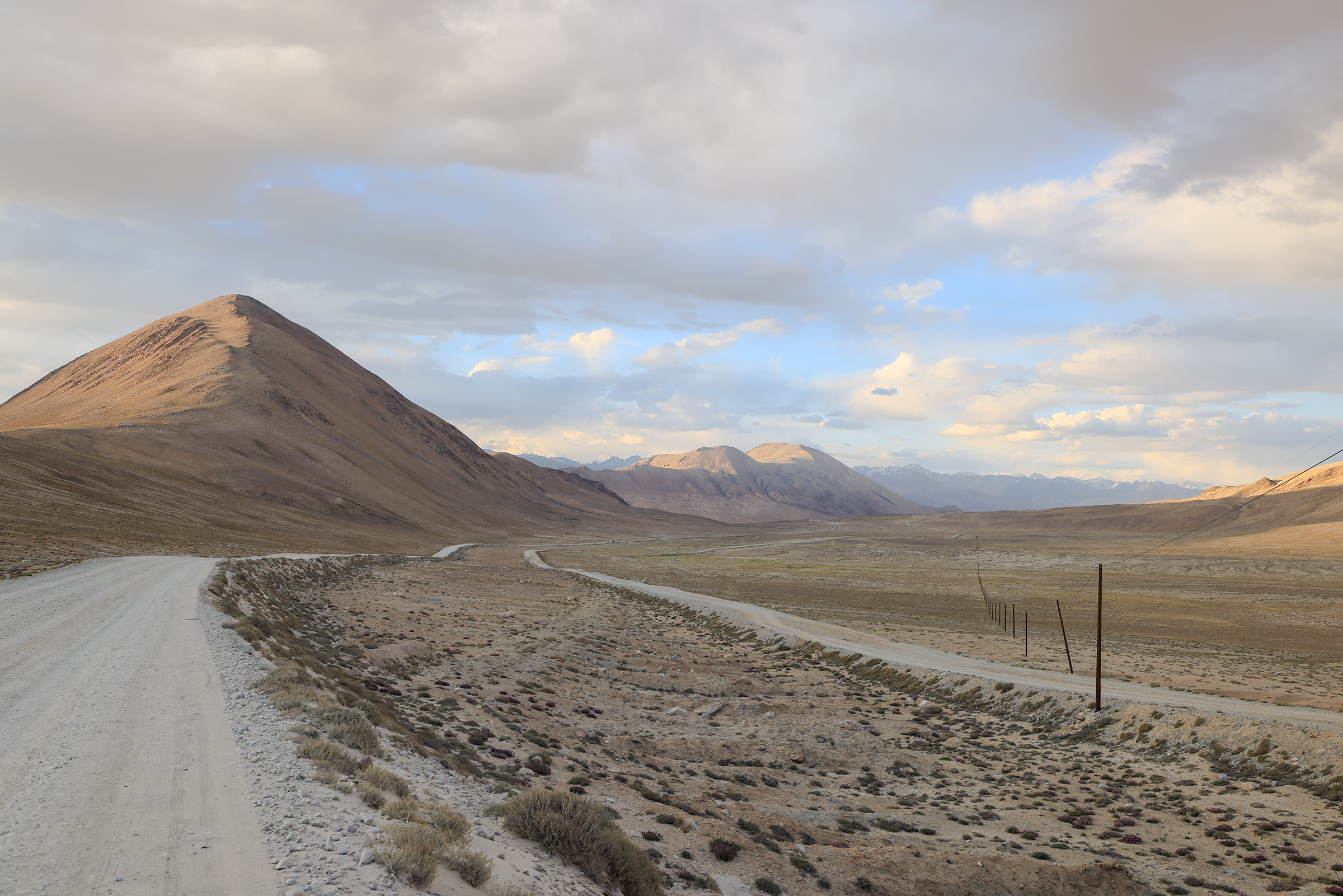
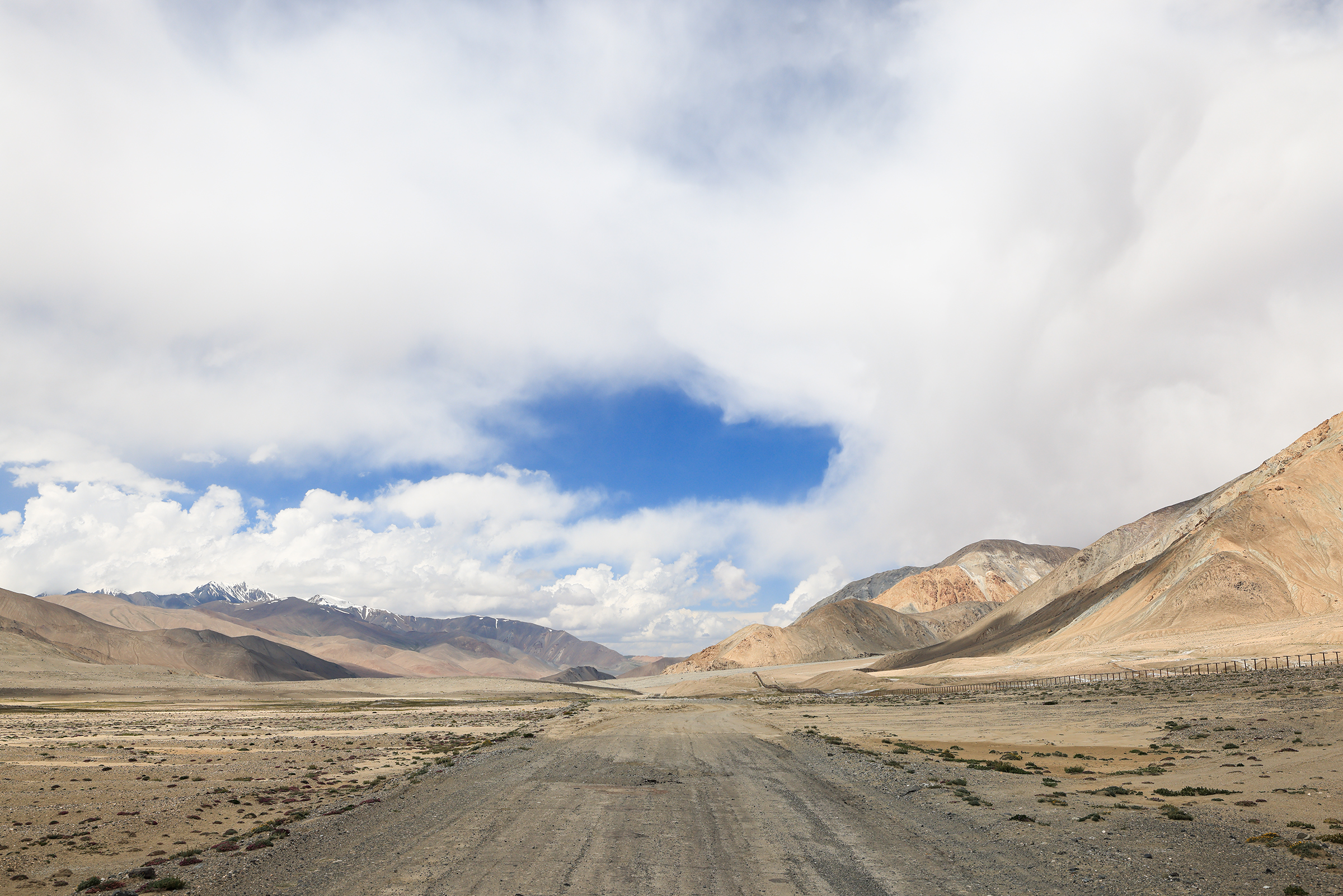
Question: Can you guess what the fence on the right side of the road represents?
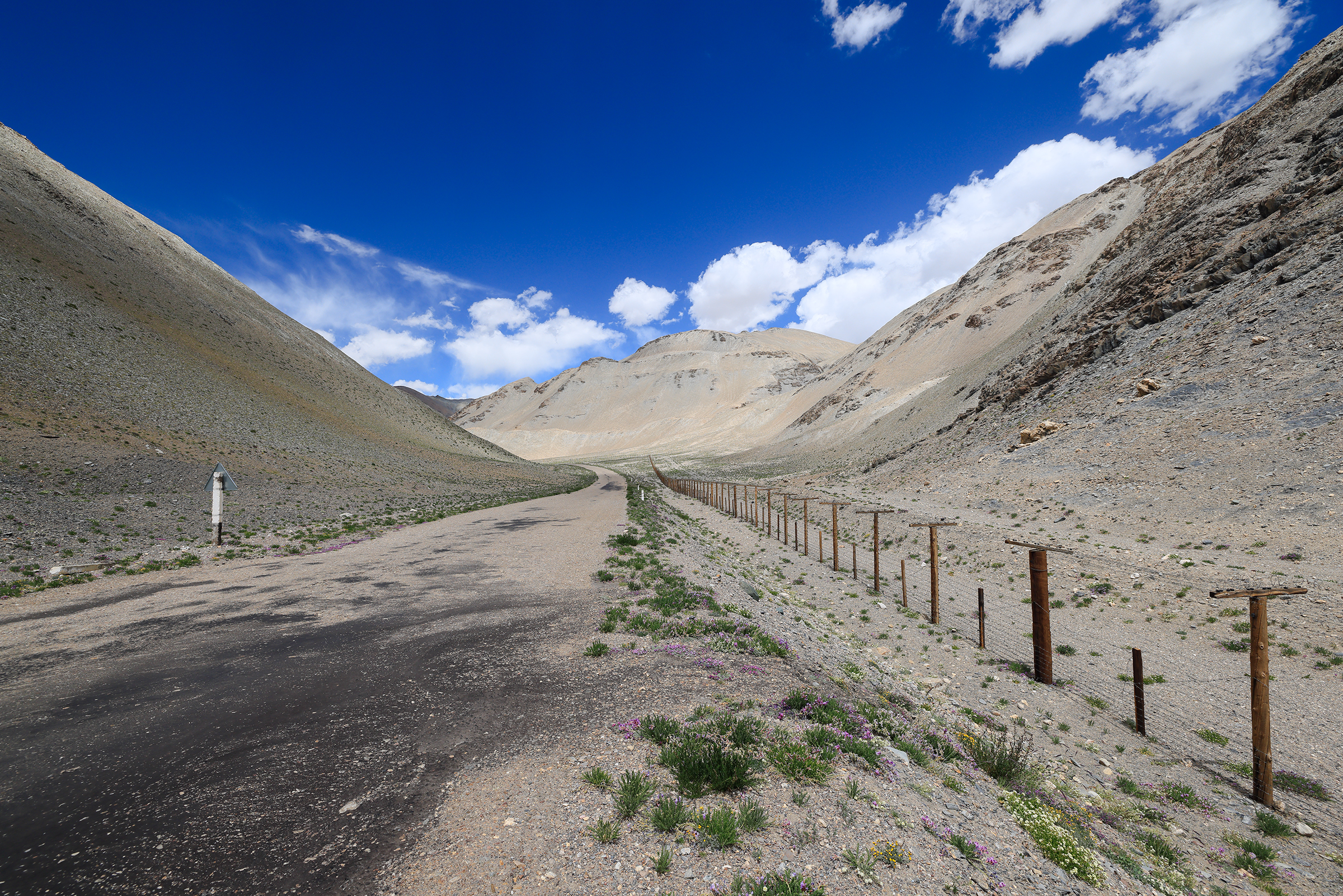
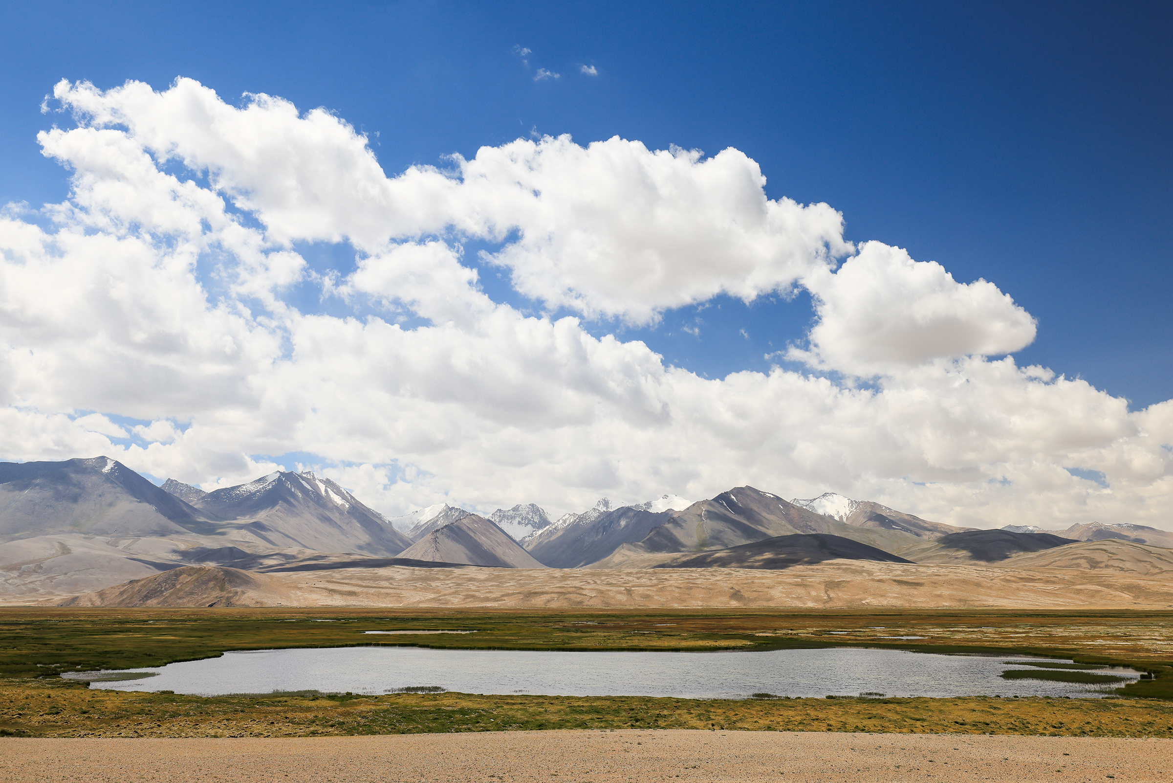
Answer: the border between Tajikistan and China! We had reached the most Eastern part of our trip and were now going up North towards Kyrgyzstan. We were also approaching Karakul, known for its incredible lake.
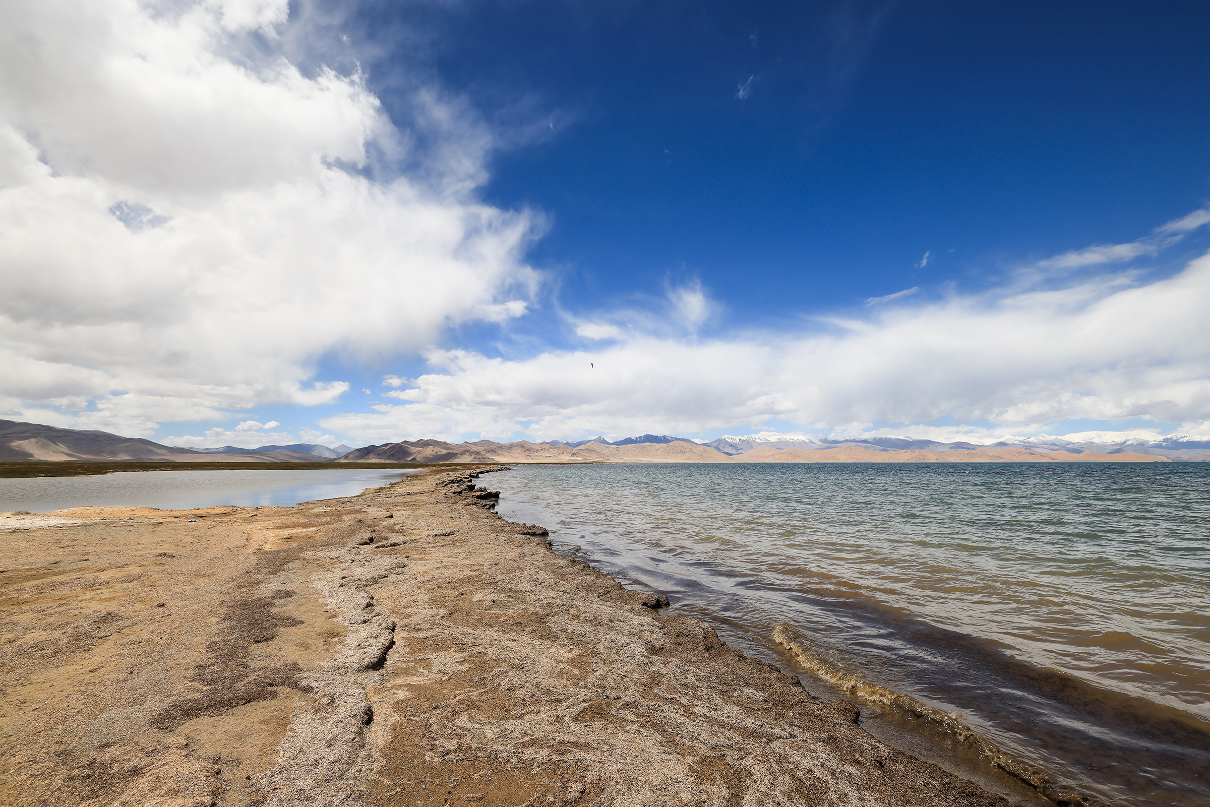
The promised lake, indeed:
Karakul Lake sits at an elevation of about 3,900 meters (12,800 feet), making it one of the highest lakes in the world. The lake is an endorheic basin — it has no outlet, which causes the water to evaporate and leave behind salts and minerals.

And that’s it! We had finally reached the border with Kyrgyzstan — easily the most memorable border crossing I’ve ever experienced. In the next photo, you’ll see the vast 25-kilometer no-man’s land that separates Tajikistan from Kyrgyzstan.
What you can also see is a handful of buildings run by the Kyrgyz military, who will happily give you a ride to the end of the no-man’s land aboard a Soviet-era 4×4. The fee will depend on your negotiation skills and what they have consumed on the day.

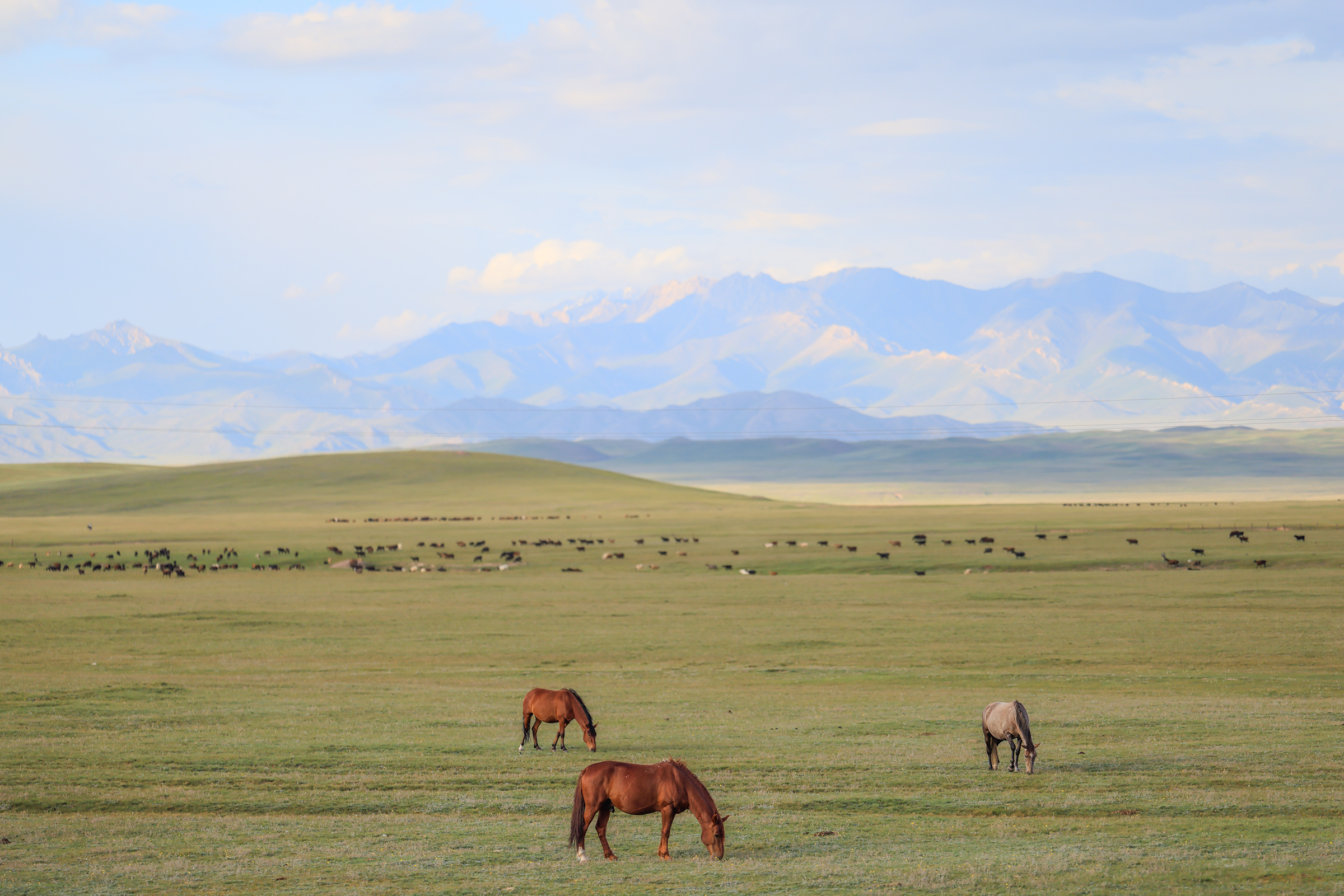
Anything you notice? Yes, it’s green. We’re in Kyrgyzstan, heading over to Sary Mogol for the night.


Until next time! 👋
2 comments