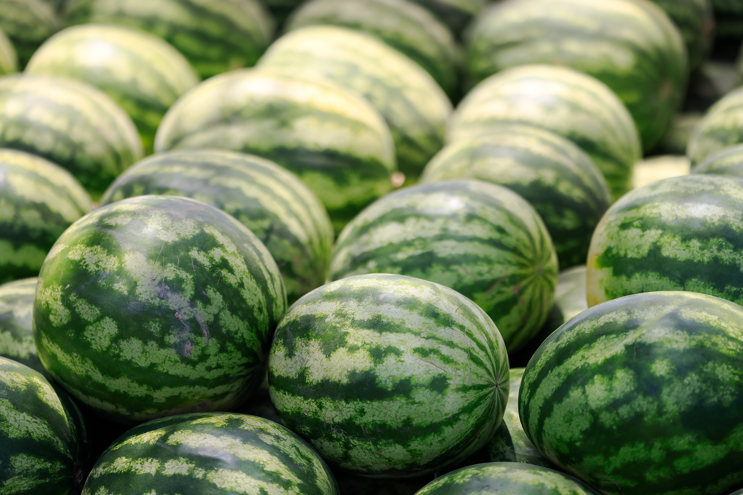
After only 36 hours in Samarkand, Ricardo and I left Uzbekistan and headed East to Tajikistan. For the first time, we crossed a border in Central Asia — a memorable experience. Picture two Westerners with large Osprey backpacks politely standing in line getting overtaken by locals at any opportunity. Now, imagine that a number of those locals were carrying watermelons. It’s starting to sound absurd, right? Well, apparently there was no point going into Tajikistan without a watermelon — we had clearly planned this trip wrong. If you don’t believe me, well, here are some watermelons for you:
Luckily, despite the low value of the goods we were carrying, they stamped our passports and let us through. We started making our way towards Dushanbe, the capital city of Tajikistan. This was the beginning of a road trip towards endless valleys and mountains.


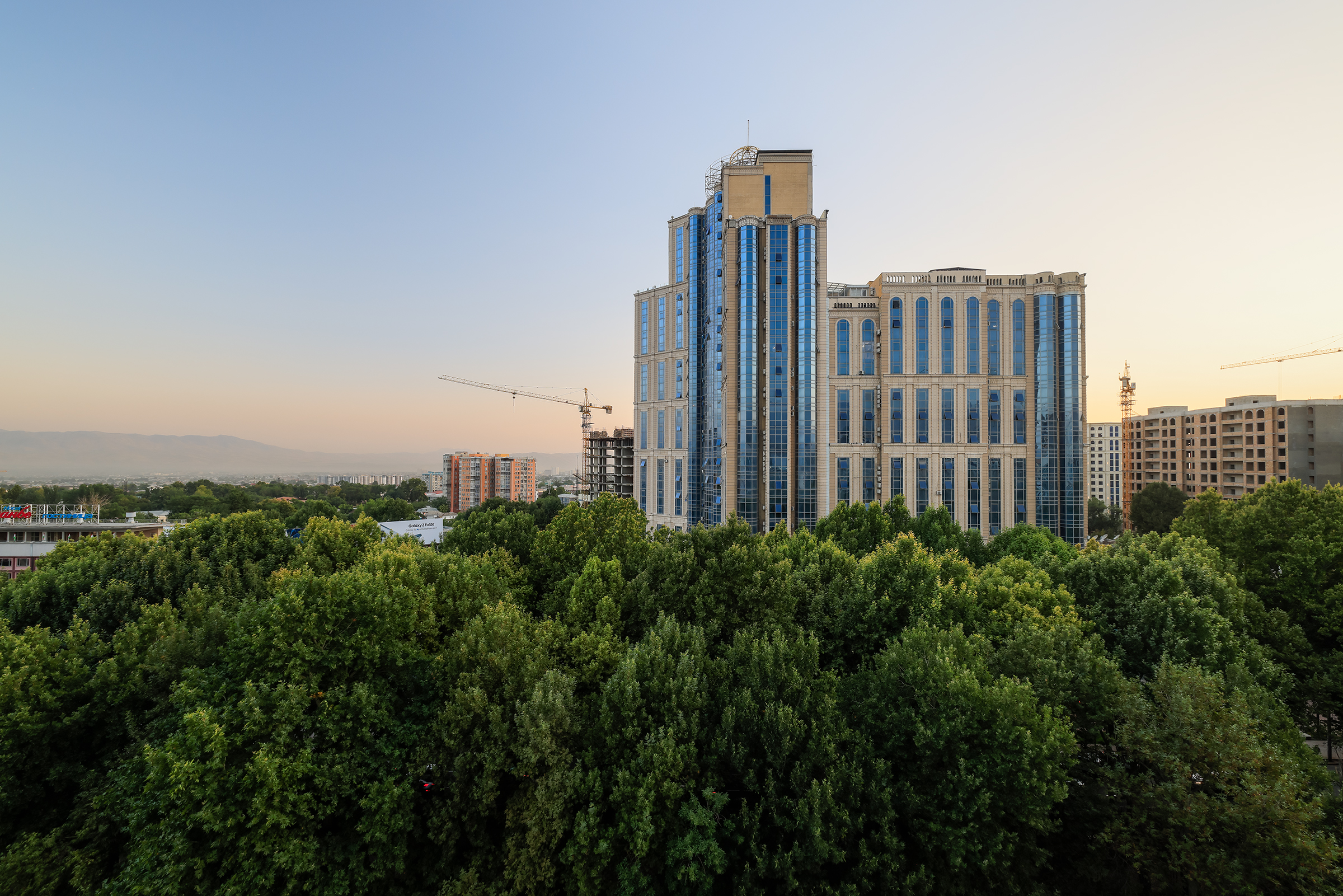
We arrived in the evening in Dushanbe (“Monday” in Persian), a city rebuilt post-Soviet era with high-rise buildings and wide boulevards — something we did not expect.
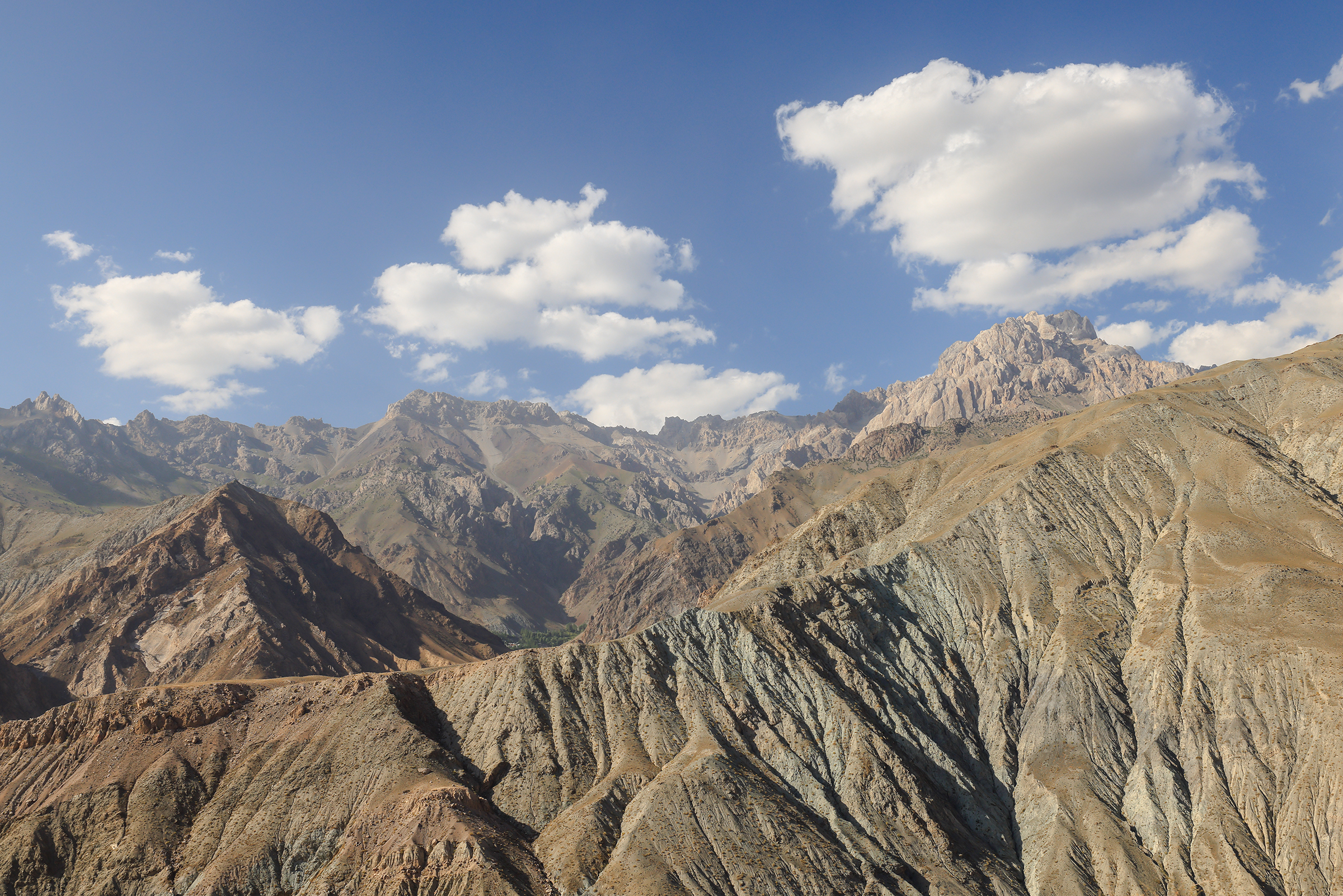
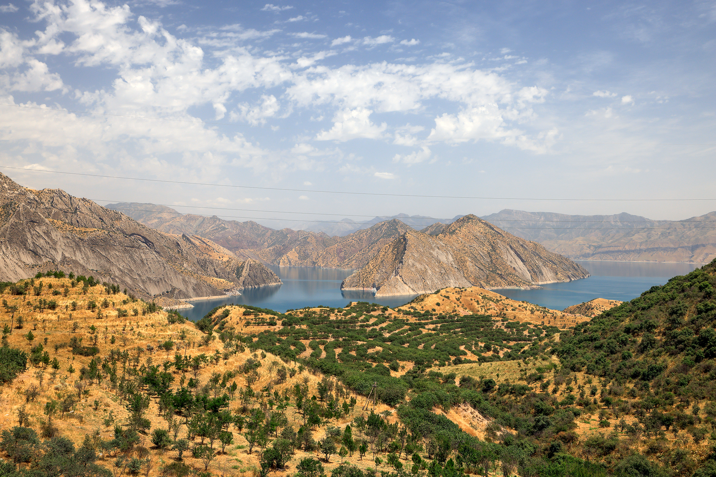
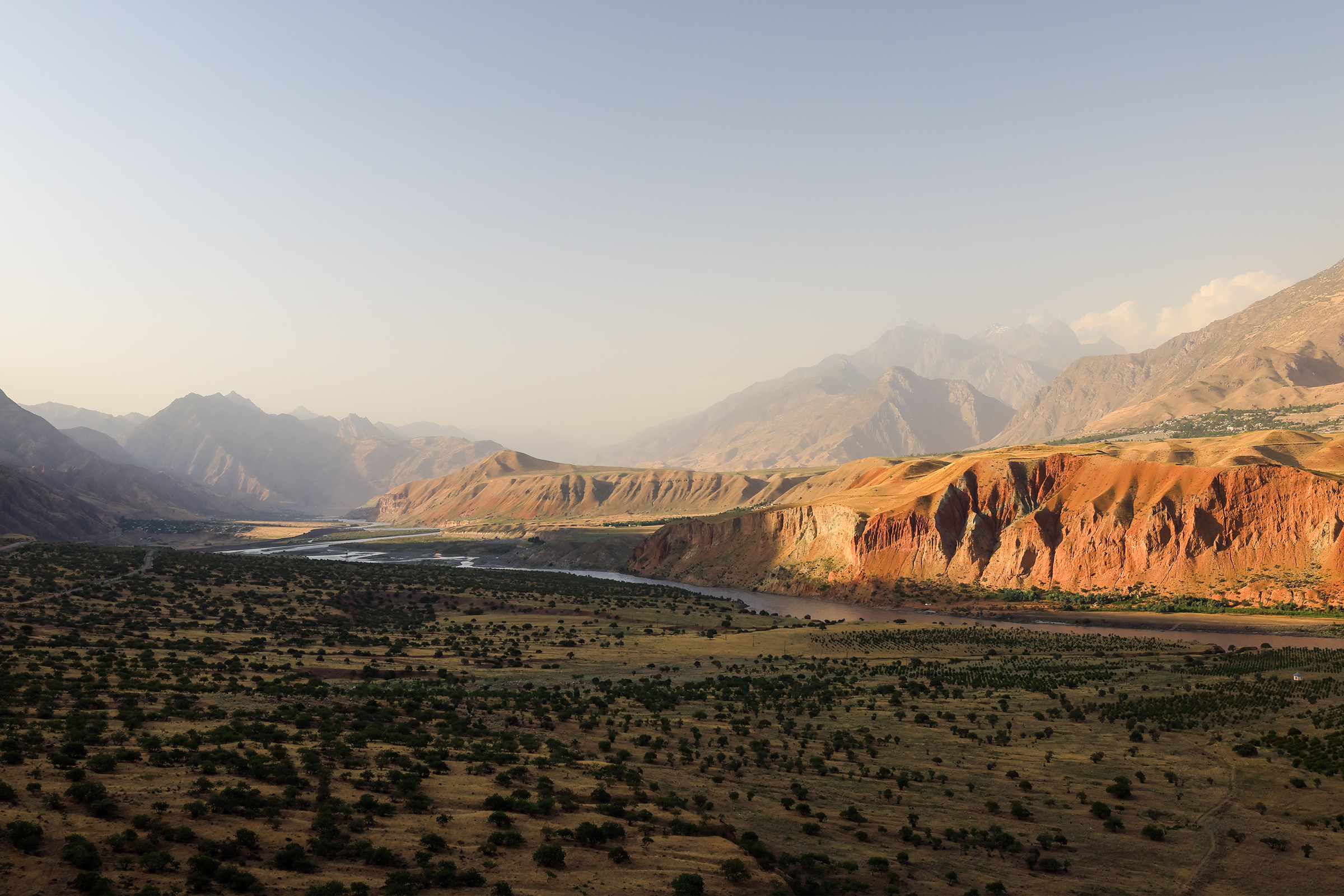
Going from West to East, this road trip would be a steady ascent towards the Pamir Mountains. But before that, we had to make our way to Kalaikhum (1,200m) and the Panj River, which separates Tajikistan from Afghanistan. We stopped in a few small towns for groceries or gas, as both would become harder and harder to get.


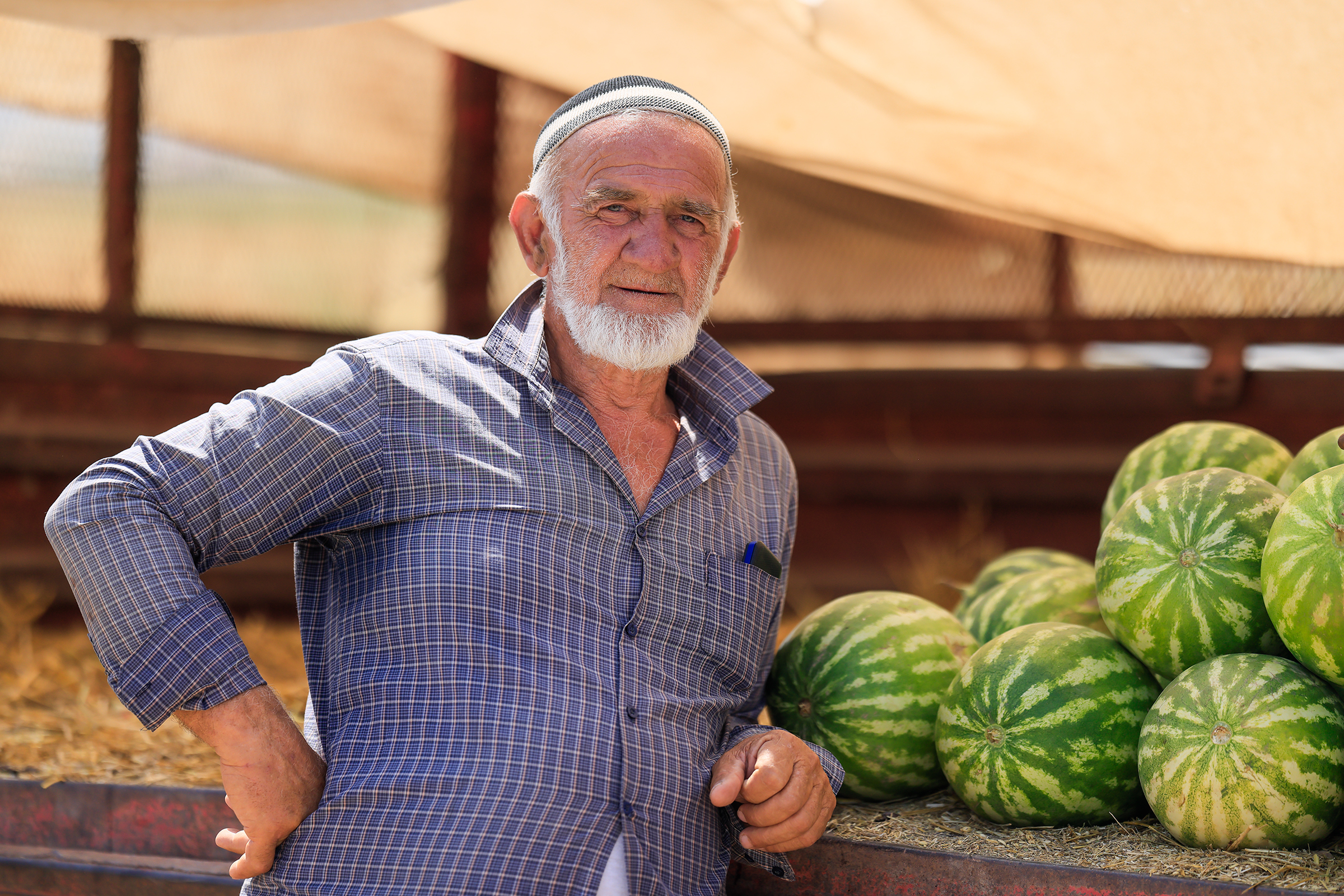
The infamous watermelons were everywhere, but there were other delicacies too. Dry fruits, and most particularly almonds, are incredibly good in Tajikistan. I obviously ended up eating large quantities of them.

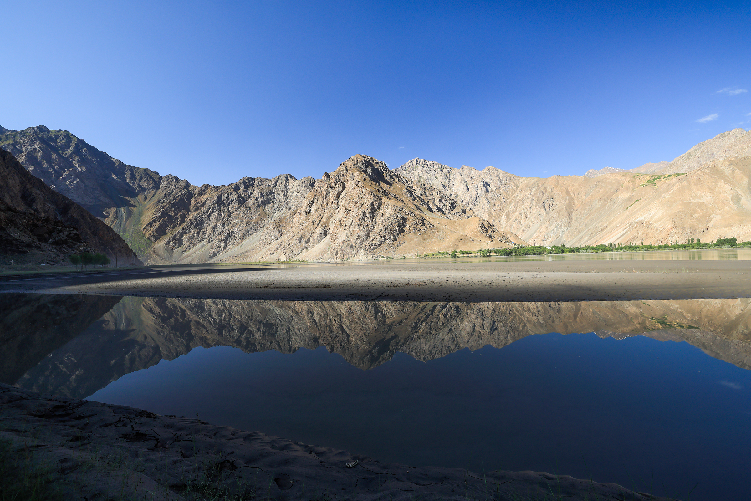
As we kept going, the landscapes became more beautiful, progressively getting drier and rockier.
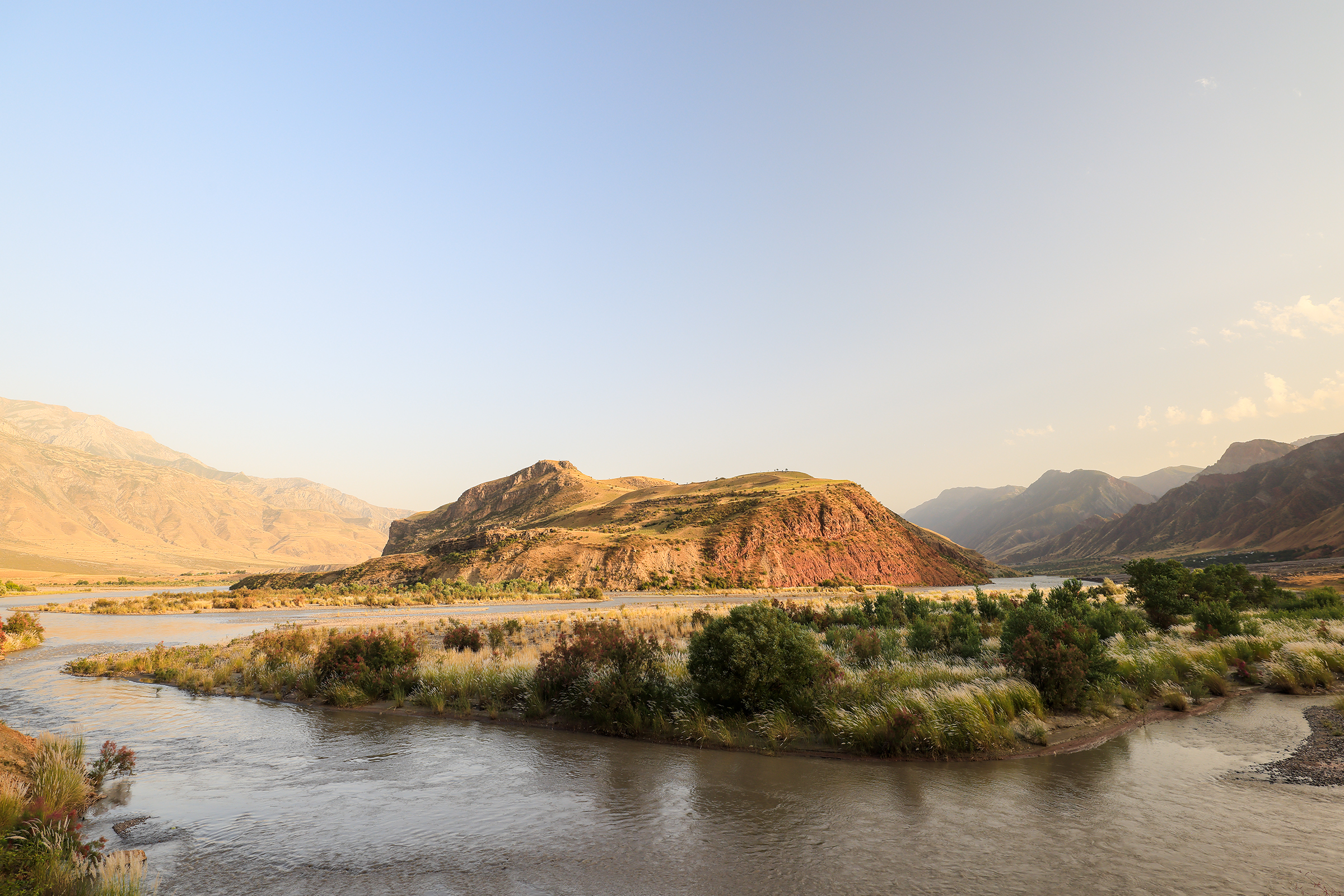
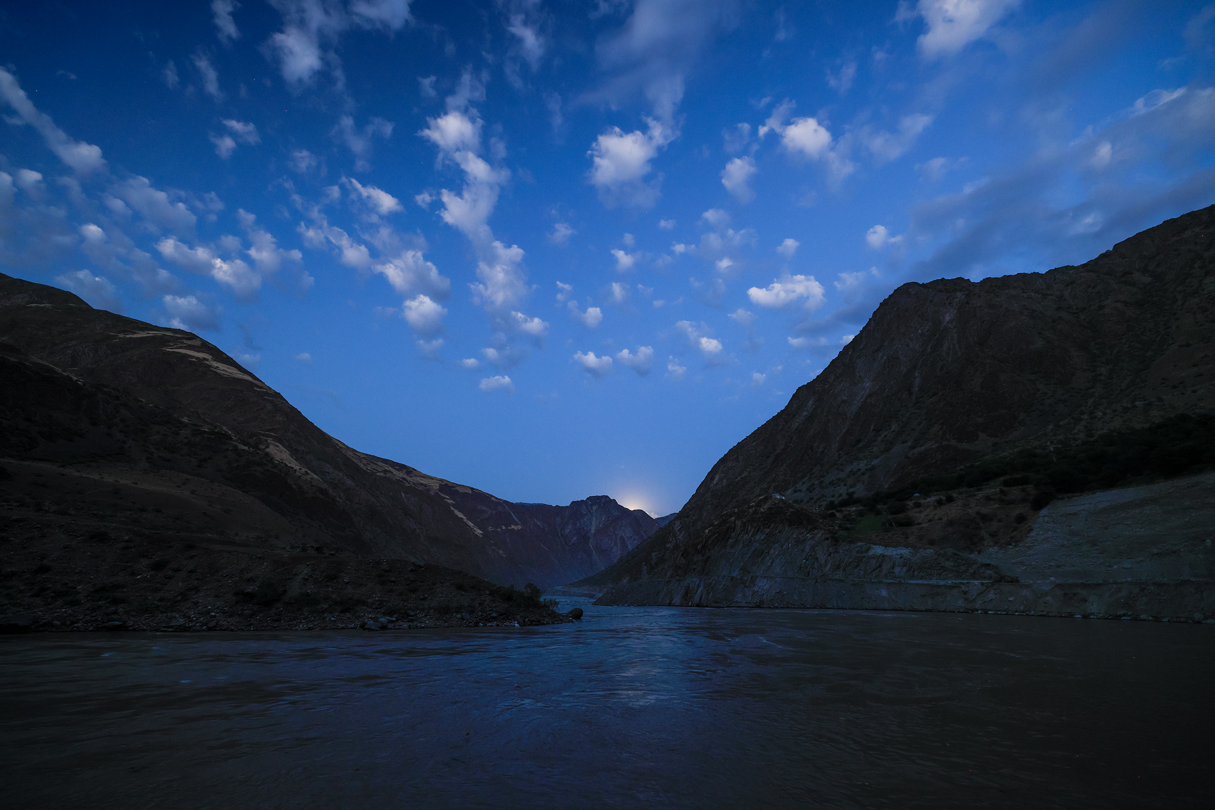
I told you about the Panj River earlier, but you’ve not seen it yet:

The locals told us the people on the other side of the river are “the same people”, and it used to be normal to cross it to meet with friends. Now, it’s not so simple. The Panj became the border between Afghanistan and Tajikistan, as a result of the “Great Game.”
The Great Game was a rivalry between the 19th-century British and Russian empires over influence in Central Asia, primarily in Afghanistan, Persia, and Tibet.
Britain feared Russia’s southward expansion would threaten India, while Russia feared the expansion of British interests into Central Asia.
The Great Game led to the Anglo-Afghan Wars — three conflicts (1839–42; 1878–80; 1919) in which Great Britain, from its base in India, sought to extend its control over neighboring Afghanistan and to oppose Russian influence there.
In 1873 Britain and Russia agreed on a rough formulation of the Tajik-Afghan border, with the Amu Darya declared to be the border going east from the vicinity of the village of Khwaja Salar to Lake Zorku, with the Wakhan Corridor to remain in Afghanistan.
The border area was extremely volatile in the 1990s due to the Tajikistani Civil War and the Afghan Civil War. Security improved with the end of the Tajik war and the fall of the Taliban government in 2001; however the long, porous frontier remains poorly policed and is a major drug smuggling route.


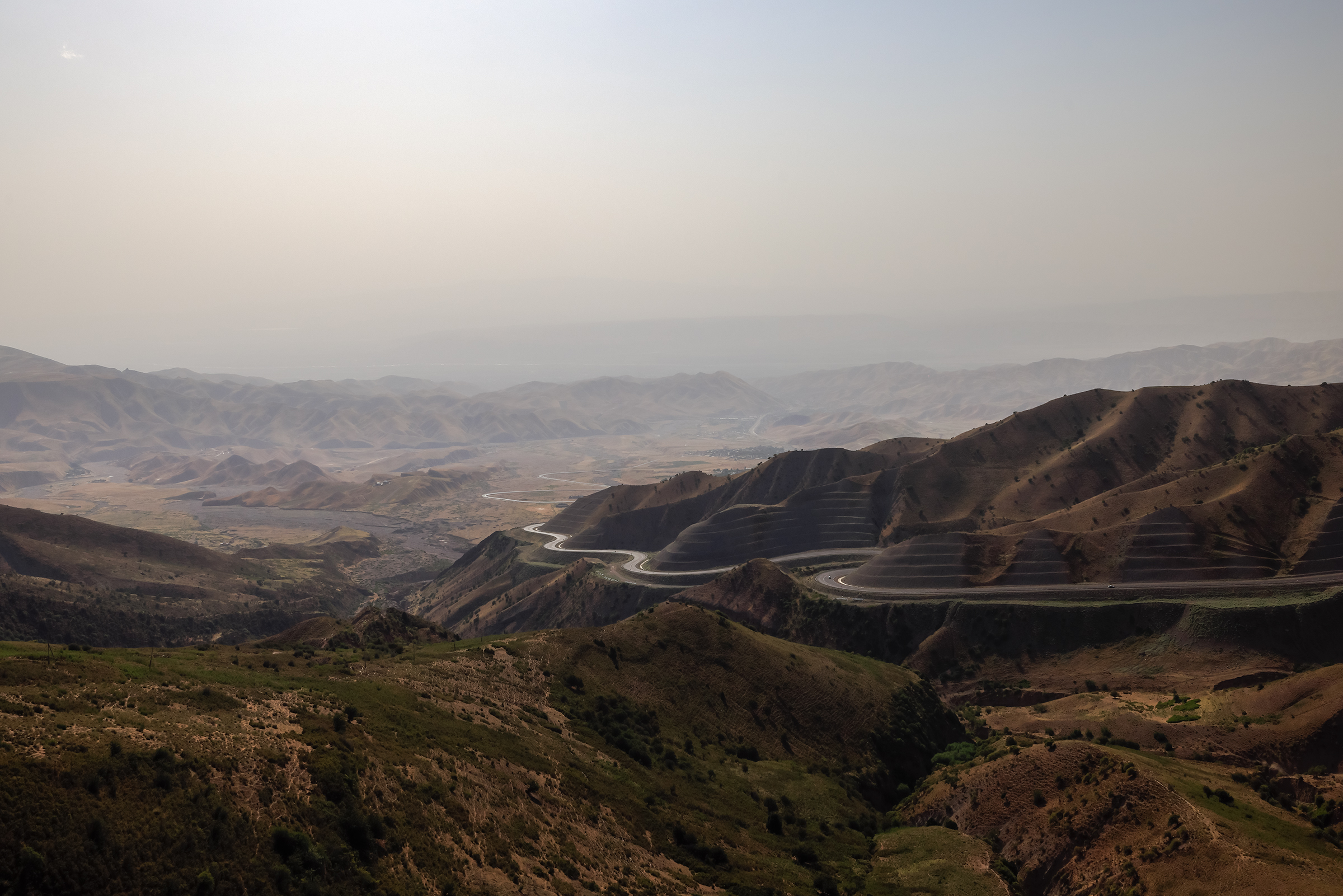
For the next 24 hours, the Panj would be on our right as we headed East.
We arrived in Kalaikhum late, only to find out that we’d have to wake up very early the next day because of construction work starting around 7am. After only a few hours of sleep, we were back in the car, driving under moonlight.
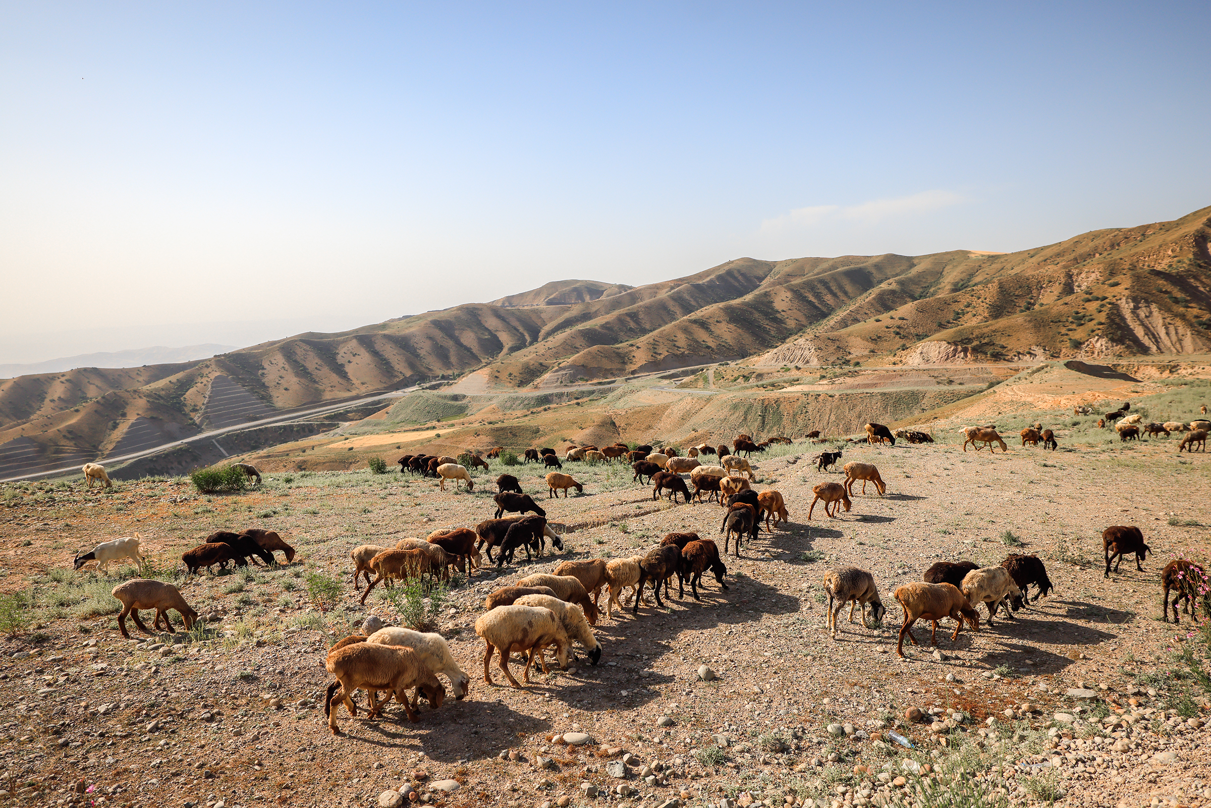
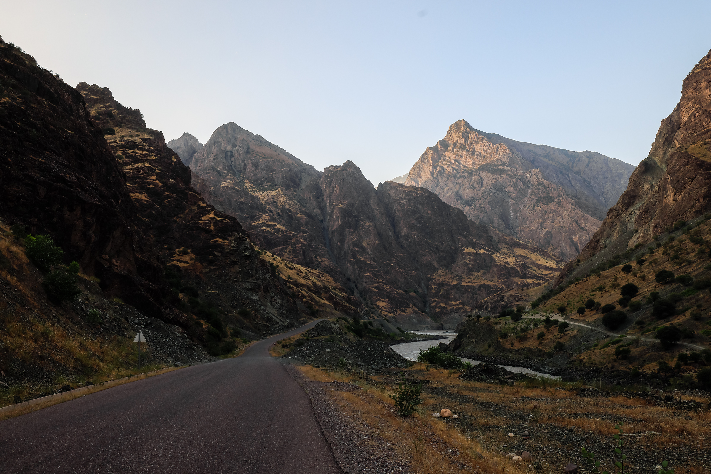
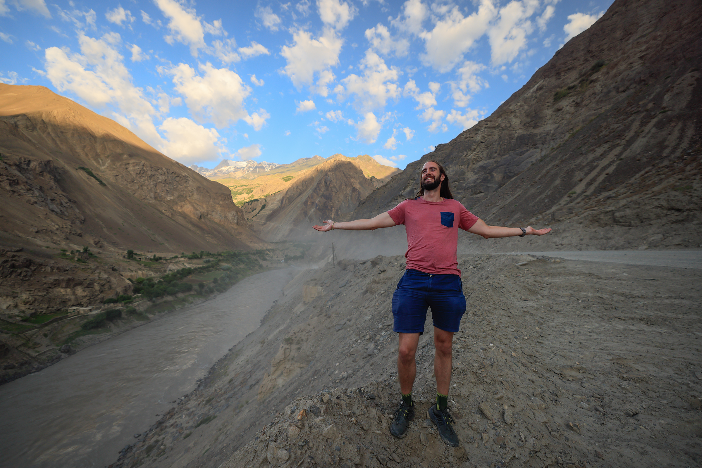
The terrain was much rougher, and the road narrower. It turns out, roads built by the Soviets in the 1980s aren’t the best, and chances of punctures were high. A lot of large trucks were driving along and breaking down. My fellow adventurer and favorite chauffeur, Ricardo, was having moderate fun that morning. It was only 5am after all, and he hadn’t had any coffee. The landscapes, though, were once again incredible.

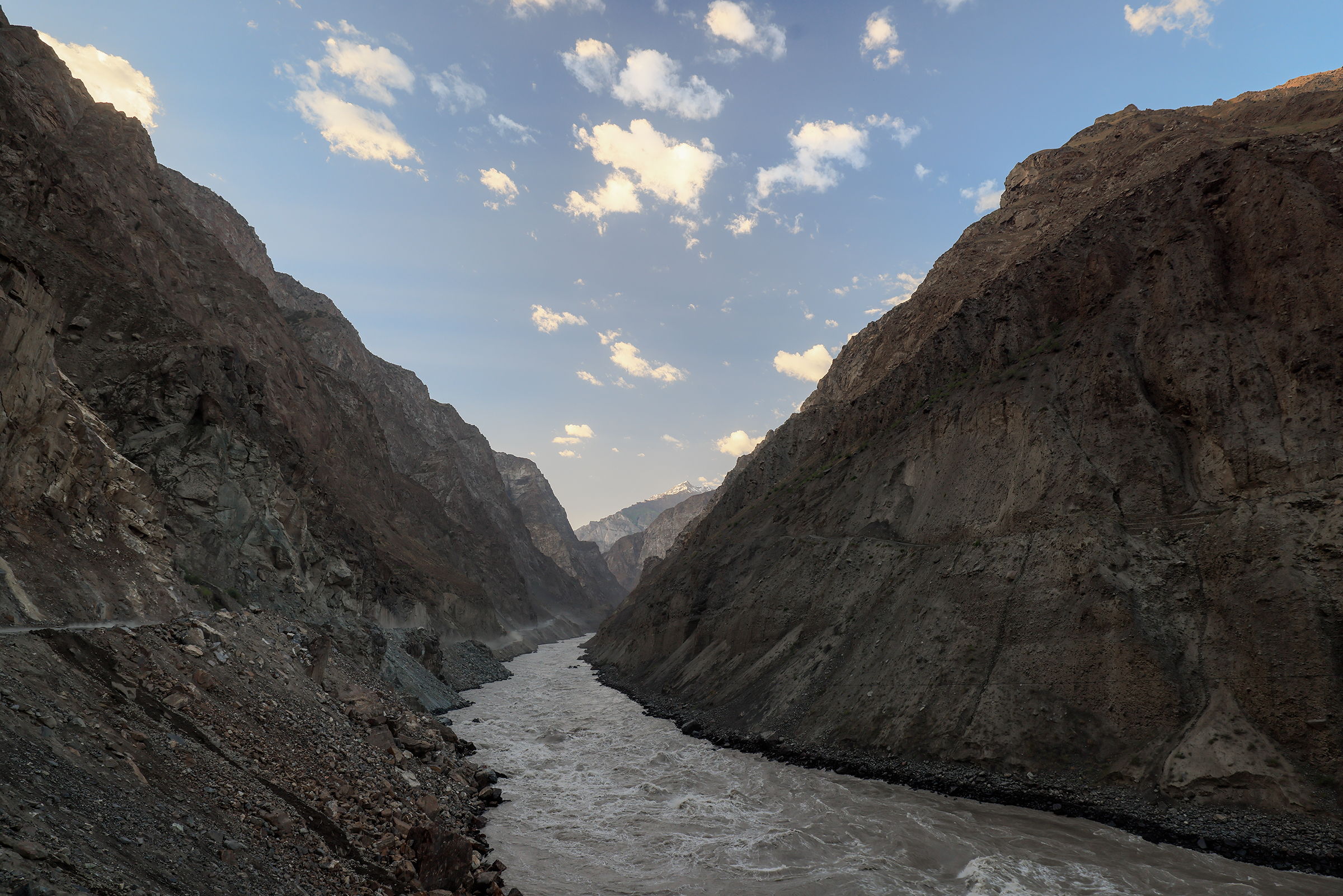
Overlooking the Afghan side:

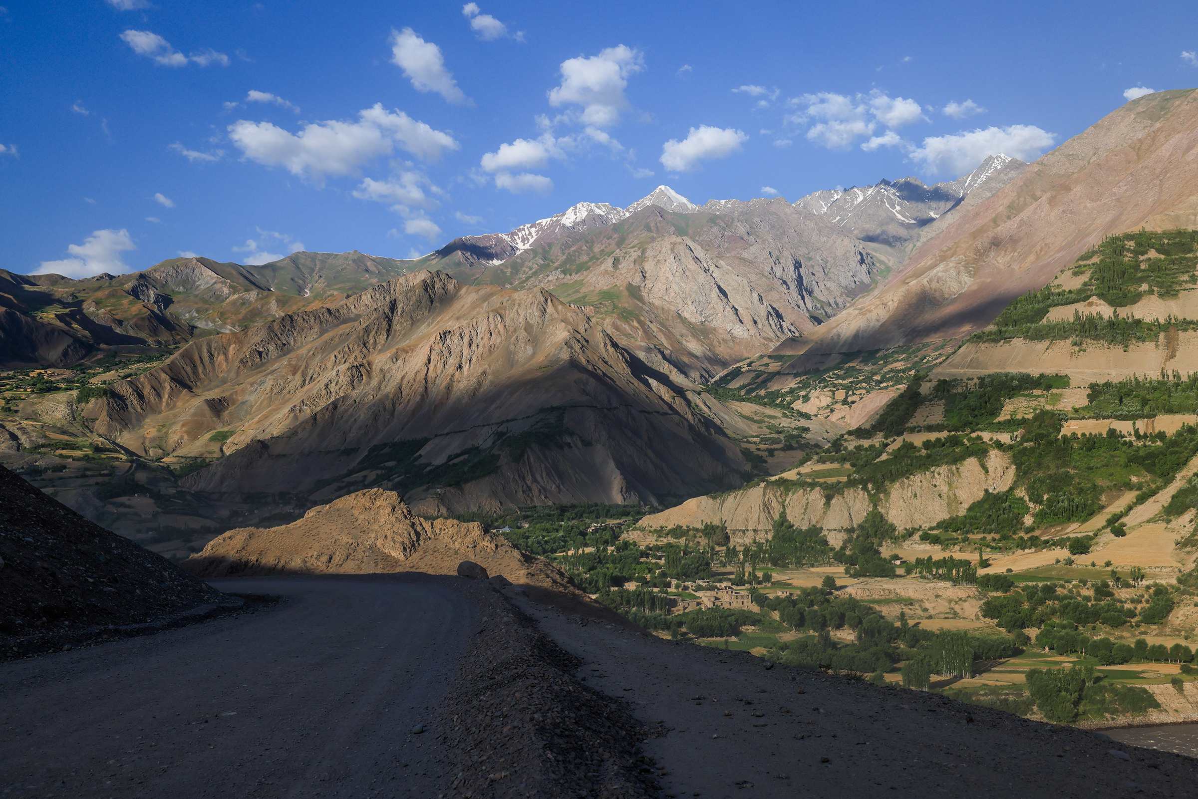


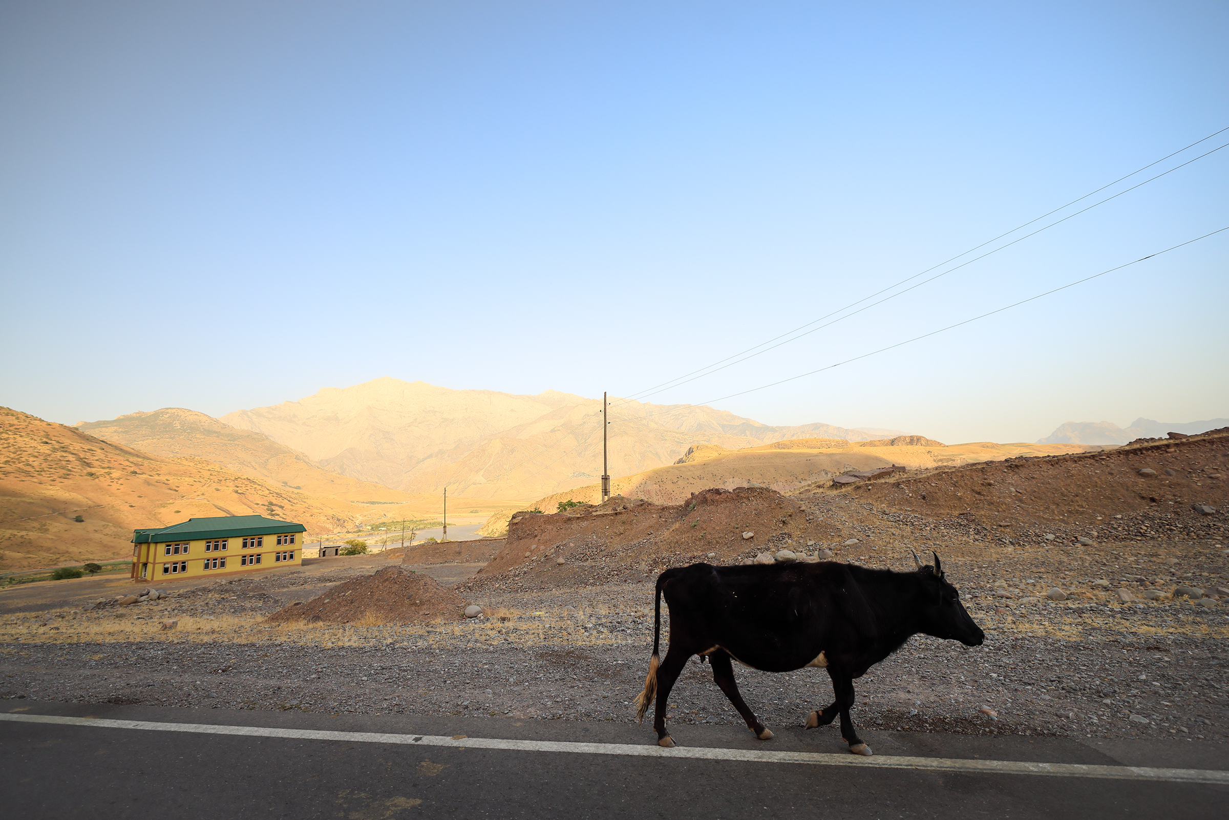
Our next stop was in Khorog, a city of 30,000 inhabitants higher up at 2,200m. We were looking forward to some rest and time to resupply. But while our tires passed the morning drive test, our brakes did not…
“We don’t have brakes,” said Ricardo.
“What do you mean ‘we don’t have brakes?'”
“I’m pushing and it’s not doing anything.”
Needless to say our old Toyota didn’t have a working handbrake either (not that it was a good alternative anyway). So how does one stop on rough mountain roads without brakes? Well, you use the 4L mode of your 4×4 and wait for an upward slope to come to a complete stop.
We weren’t too sure what had happened, but it’s a moment that reminded us of our trip to Atacama, where we blew up a tire in the middle of the desert on a road called “el llano de la Paciencia” (the “plain of Patience.”)
Luckily, we had enough signal to reach out to our contact who rented us the car. Within an hour, they would be with us to assist. We parked in the shade and fell asleep — it was only 9:30am still.
Soon after, someone turned up and took us to the nearest village, Rushan, where a “car mechanic” was going to fix everything for us.

After having the car checked, the left brake pipe, which takes brake fluid to the brakes, was broken (probably as a result of the rocky terrain). The local mechanic welded the pipe as a rudimentary fix to take us to Khorog for a real service. With air in our system, the braking was rather inefficient, but it “worked.”
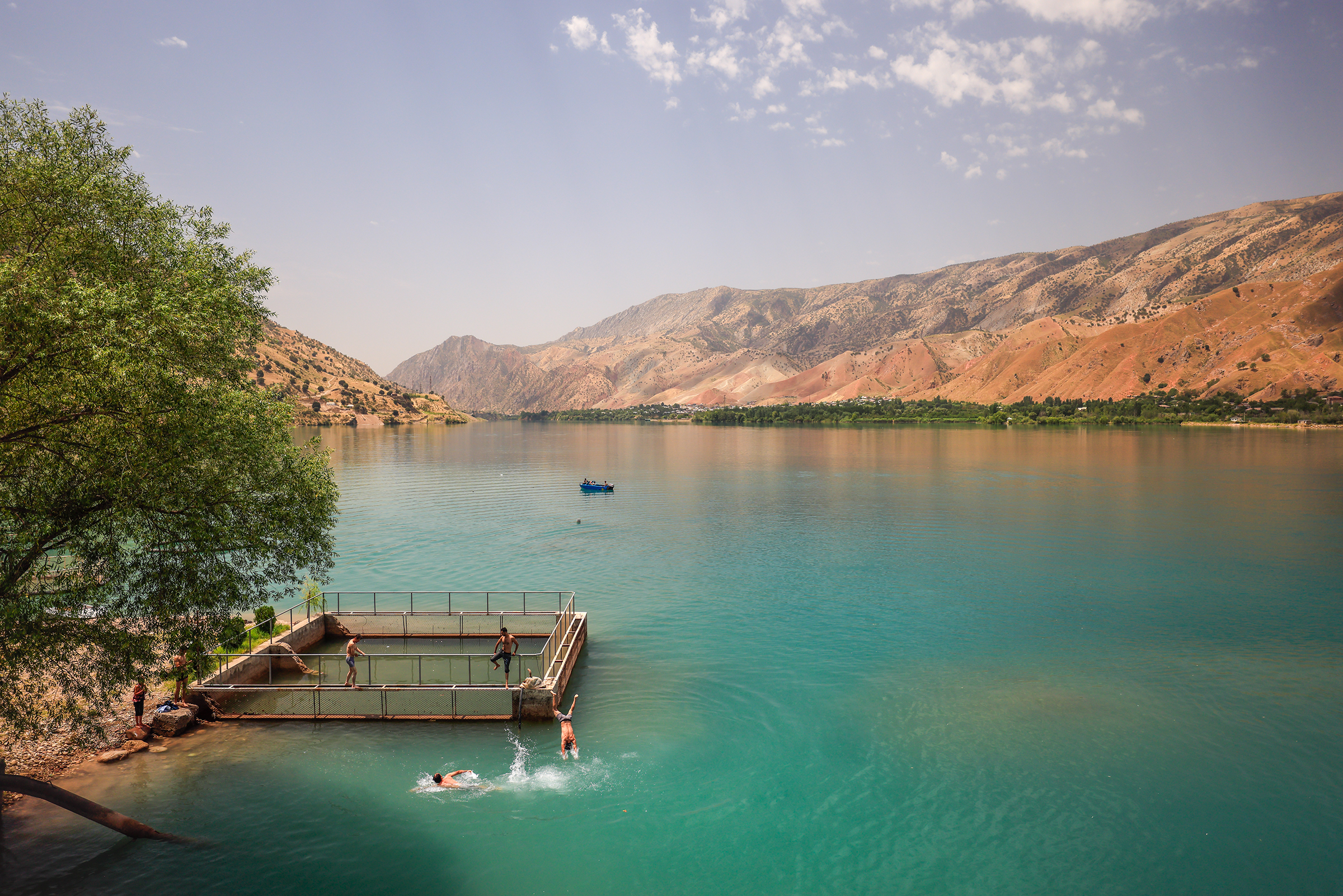
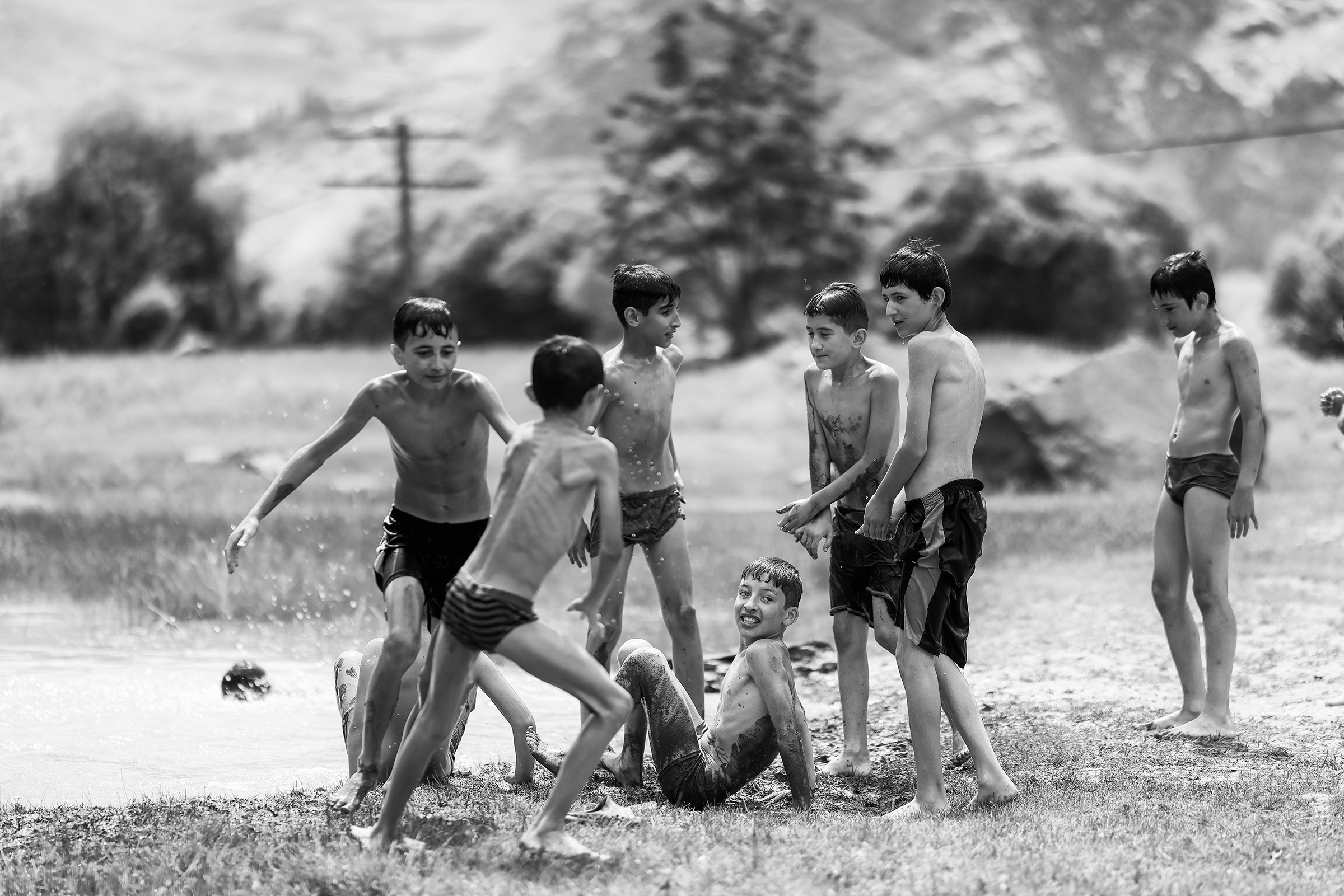
Along the way we stopped and met a group of kids who were enjoying a refreshing dip.


Exhausted, we made it to Khorog, a surprising place with parks, supermarkets and seemingly nice restaurants.

The end of our troubles you’d think? Well, after eating at that “nice” restaurant, I got the worst (and pretty much first) food poisoning experience of my life. If you’re wondering, yes, it was that mutton that got me. Kilos of “non” (Tajik bread) were luckily awaiting me.
The photos that never made it to Instagram:


Until next time! 👋
One comment